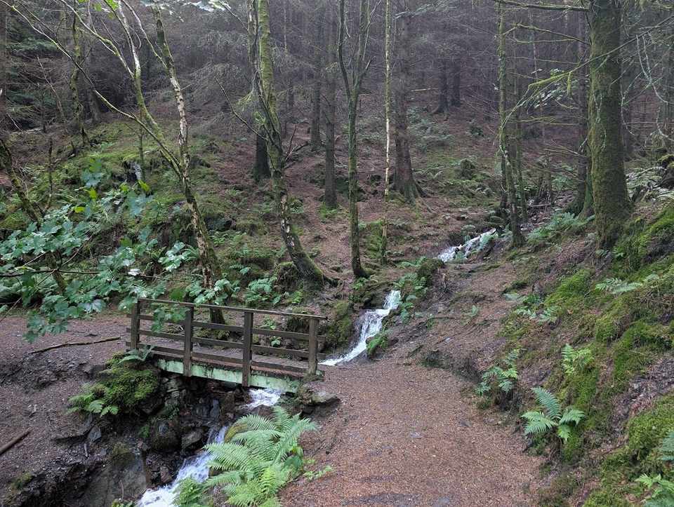
Lake District walks by difficulty
Our walking routes grouped by the size of the day — the distance and total ascent measured from the GPS track. Easy is a short outing; Severe is a big mountain day you'd think twice about (over five hours and 1,200 m of climbing); in between is fine if you take your time. Size isn't the whole story, though — check the exposure flag on each route, our most serious safety axis, walked and confirmed where you see it. A short walk can still be seriously exposed, and a long one can be a gentle plod. Always check the live conditions and the mountain forecast before you go.
Map
● routes
An interactive map of the route start points and the fells within about 5 km. Each marker links to its page; the same routes and fells are listed below.
Easy 34
- The Bowder Stone0.6 km~11 m~0–0.5 hExposure: EasyA very short, level stroll to Borrowdale's famous balanced boulder — the house-sized Bowder Stone, with a wooden ladder to climb to the top. Maximum reward for minimum effort, and a guaranteed hit with children.
- Hallin Fell2 km~156 m~0.5–1 hExposure: ModerateSummit likely clagged inA short, steep little climb from the Howtown steamer pier to a superb all-round viewpoint over Ullswater — maximum reward for minimum effort, and a fine car-free outing using the lake steamer.
- Stock Ghyll Force2 km~90 m~0.5–1 hExposure: EasyA short, steep-sided woodland loop from the middle of Ambleside to the 70-foot Stock Ghyll Force — at its thundering best after rain, and easily tacked on to a town visit.
- Slater Bridge & Cathedral Cave2.2 km~92 m~0.5–1 hExposure: EasyA short, characterful loop from Little Langdale over the slate Slater Bridge and up to the cavernous Cathedral Cave, a relic of the old quarries. Uneven, rocky quarry ground in places — and a torch helps inside the cave.
- Binsey Walk2.4 km~175 m~0.5–1 hExposure: EasySummit likely clagged inThe northern outlier, and the biggest view-per-minute in the Lake District. Binsey stands alone above the Solway plain with nothing between it and Scotland — forty minutes up a grassy path and you can see the whole Skiddaw massif on one side and the Galloway hills on the other. A first fell, an evening fell, a fell for a bad forecast everywhere else.
- Latrigg2.5 km~103 m~0.5–1 hExposure: EasySummit likely clagged inThe little fell on Keswick's doorstep with an outsized view — a short pull from the Gale Road car park to a grassy top looking straight down on the town, Derwentwater and the Borrowdale fells.
- Blea Tarn (Little Langdale)2.7 km~34 m~0.5–1 hExposure: EasyA short, lovely loop around little Blea Tarn, with the classic view of the Langdale Pikes mirrored in the water — one of the most photographed scenes in the Lakes for very little effort.
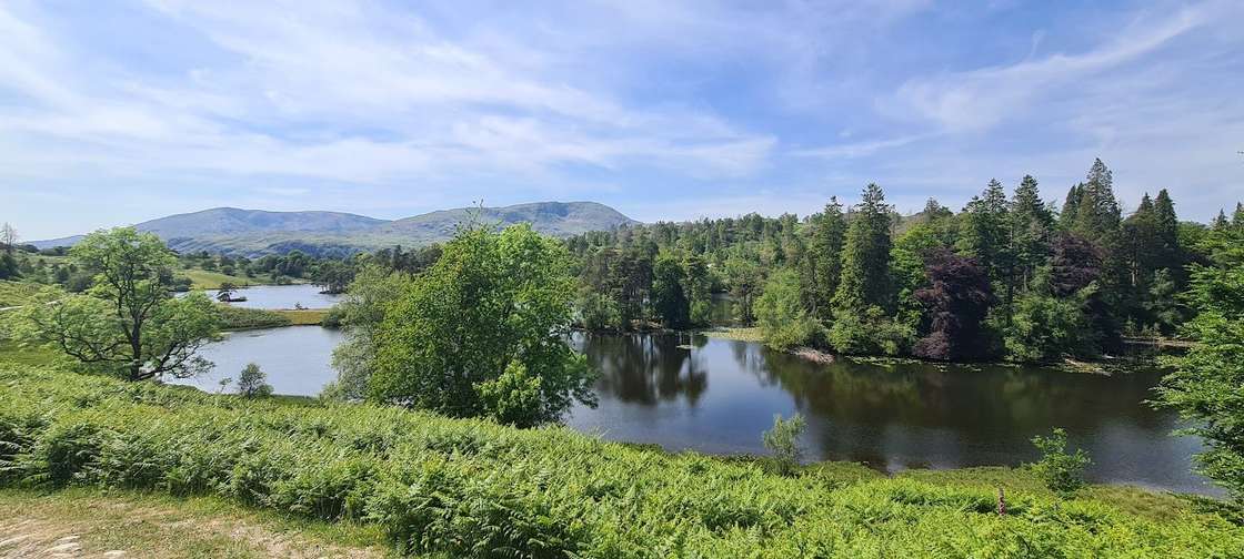 Tarn Hows circuit2.9 km~61 m~0.5–1 hExposure: EasyA gentle, near-level circuit of one of the Lake District's prettiest tarns, ringed by pines with the Coniston and Langdale fells beyond. Easy underfoot and genuinely pushchair-friendly, with National Trust parking, toilets and a seasonal refreshment van.
- Great Mell Fell3.5 km~269 m~1–1.5 hExposure: EasySummit likely clagged in
- High Rigg3.6 km~215 m~1–1.5 hExposure: ModerateSummit likely clagged in
- Orrest Head4.2 km~167 m~1–1.5 hExposure: EasyWainwright's first Lakeland summit and still the best short introduction to the fells — a steady wooded climb from Windermere to a rocky crown with a sweeping panorama over the lake to the Coniston and Langdale skyline.
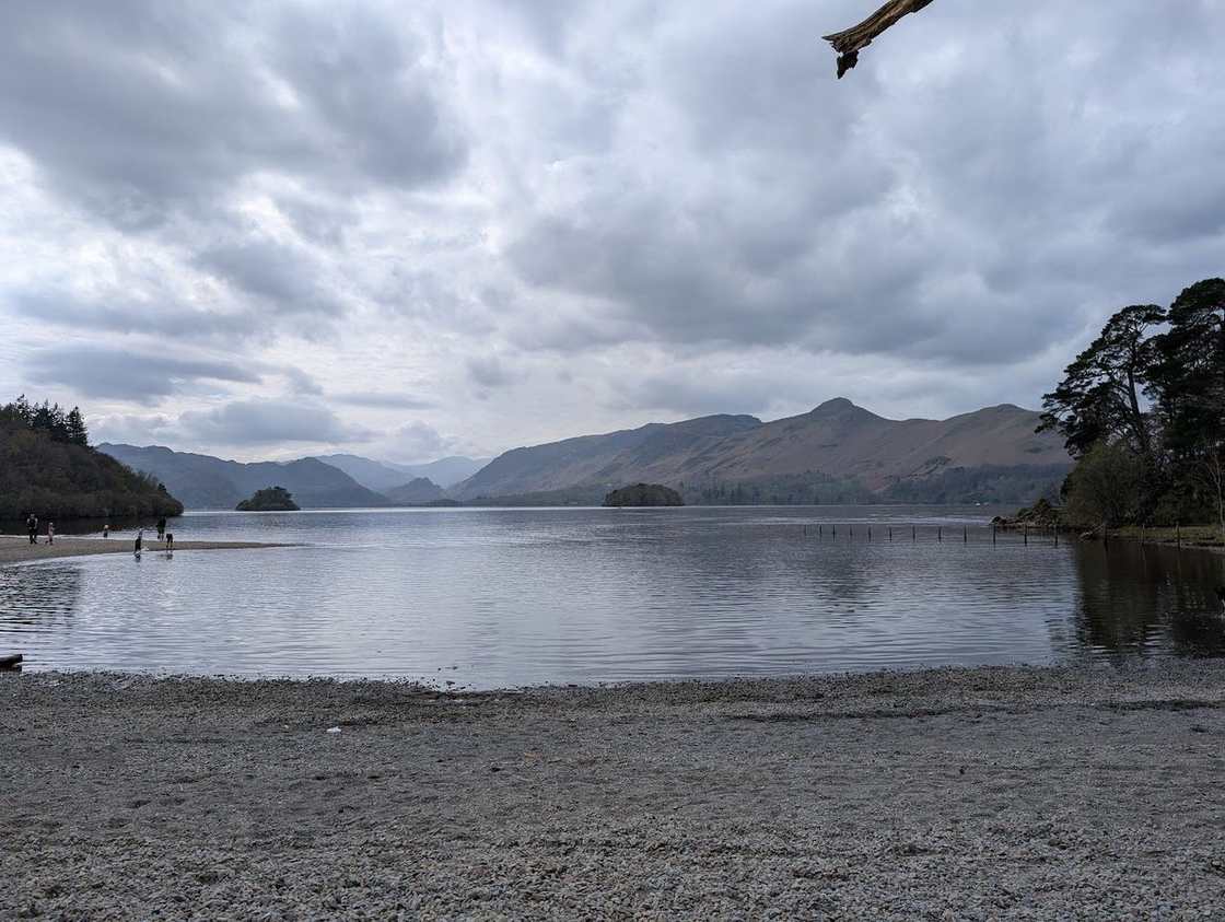 Friar's Crag & the Derwentwater shore4.2 km~43 m~0.5–1 hExposure: EasyAn almost-level lakeshore stroll from Keswick to Friar's Crag — Ruskin's favourite view down Derwentwater to the Jaws of Borrowdale — on surfaced paths that suit pushchairs.
- Elterwater riverside loop4.3 km~91 m~1–1.5 hExposure: EasyA short, near-level loop from Elterwater village along the River Brathay — easy, pretty and quick, with the Langdale Pikes ahead and plenty of water for a hot dog. A gentle leg-stretch or a lazy family afternoon.
- Rivings and Lothwaite4.4 km~0.5–1 hExposure: EasySummit likely clagged in
- Ling Fell & Sale Fell5 km~417 m~1.5–2.5 hExposure: HardSummit likely clagged in
- Low Light Haw5.6 km~247 m~1.5–2 hExposure: ModerateA short, quiet loop onto Low Light Haw, one of the overlooked Bethecar Moor Birketts on the wild eastern side of Coniston Water. While the crowds file up the Old Man across the lake, this little top sees almost no one — a steep pull up through the woods onto open, heathery moor, a wide view over Coniston Water and the southern fells, and an easy return. Under 6 km, but with one genuinely steep climb: a fine short outing for a clear day and a bit of solitude.
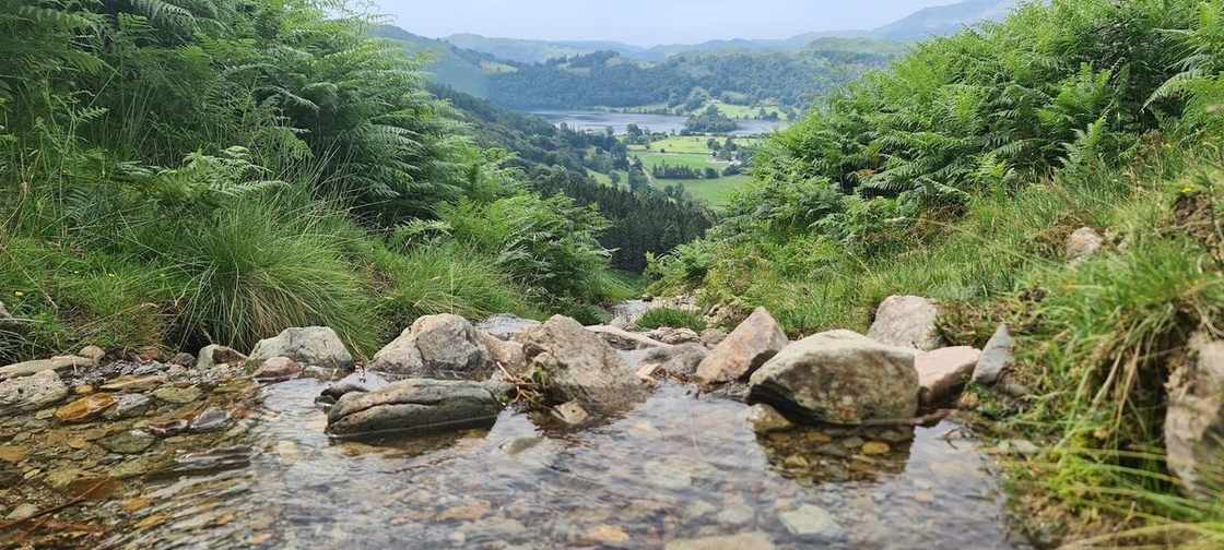 Grasmere lake circuit5.7 km~95 m~1–1.5 hExposure: EasyA gentle circuit of Grasmere lake from the village — easy field paths along the eastern shore and undulating woodland on the west, with the fells reflected in the water and Wordsworth's Grasmere all around. About 4 miles, almost no climbing.
- Catbells: the short way up5.7 km~388 m~1.5–2.5 hExposure: EasySummit likely clagged inThe friendliest big view in the Lakes. Under 6 km from Hawse End to the shapely little summit above Derwentwater and back — short enough for an afternoon, steep enough to feel like a proper fell, and reachable without a car by launch across the lake or the bus from Keswick.
- Knipe Scar - Birkett5.7 km~166 m~1–2 hExposure: Easy
- Raven Crag Easy Walk5.8 km~312 m~1.5–2.5 hExposure: ModerateSummit likely clagged in
- Loweswater circuit5.9 km~56 m~1–1.5 hExposure: EasyA quiet, nearly-level lap of Loweswater, one of the most peaceful of the western lakes, taking in the lakeshore and the path through Holme Wood. Away from the crowds, and lovely with a dog.
- The Royal Oak Pub Walk (Ambleside)5.9 km~68 m~1–1.5 hExposure: EasyAn easy, near-level amble from the heart of Ambleside out along the River Rothay and back — parkland, riverbank and quiet lanes beneath the wooded flanks of Loughrigg, with barely 70 m of climbing across 6 km. A gentle leg-stretch to bookend lunch at the Royal Oak.
- The Sun Pub Walk (Coniston)6.4 km~202 m~1.5–2 hExposure: EasyA short circuit straight from the door of The Sun, climbing out of Coniston village toward the old Coppermines valley beside Church Beck before dropping back with the Old Man of Coniston at your shoulder and Coniston Water opening up ahead. Around 200 m of gentle climbing over 6.4 km — enough to earn a pint, not enough to spoil one.
- Rydal Water & Rydal Caves6.5 km~216 m~1.5–2.5 hExposure: EasyA gentle 4-mile circuit of Rydal Water, taking in the old slate cavern of Rydal Cave above the southern shore and returning along the wooded Coffin Route. Low-level and scenic, with one short rougher stretch near the cave.
- The Old Dungeon Ghyll Pub Walk (Great Langdale)6.6 km~106 m~1.5–2 hExposure: EasyAn easy, near-level loop of the Great Langdale valley floor from the Old Dungeon Ghyll, walked entirely beneath the Langdale Pikes — Pike o' Stickle and Harrison Stickle rearing up on one side, Bowfell and the Band on the other. Barely a hundred metres of up-and-down across 6.6 km, so it's a proper leg-stretch with all of the drama and almost none of the grind — and it begins and ends at the pub.
- Aira Force & Gowbarrow Fell6.9 km~341 m~1.5–2.5 hExposure: ModerateSummit likely clagged inAira Force's dramatic 65-foot waterfall, climbed on to the open top of Gowbarrow Fell for one of the finest aerial views over Ullswater. Easy-moderate — a steady pull on good National Trust paths above the falls.
- Pinnacle Howe and Four Stones Hill7.3 km~262 m~1.5–2.5 hExposure: Easy
- Whinlatter Forest: Tarbarrel Moss, Ullister Hill & Seat How7.3 km~243 m~1.5–2.5 hExposure: EasyA sheltered forest loop above Whinlatter — England's highest mountain forest — climbing on good tracks through the plantation to a trio of low, easily-missed tops. Tarbarrel Moss, Ullister Hill and rocky little Seat How give sudden, outsized views to Skiddaw, Grisedale Pike and the north-western fells for barely 250 m of climbing. A fine foul-weather or family day when the high tops are in cloud.
- Buttermere lake circuit7.4 km~66 m~1.5–2 hExposure: EasyThe classic low-level lap of Buttermere — a flat, well-made path right around the lake beneath High Stile and Fleetwith Pike, passing the famous lone tree and a short rock-cut tunnel. One of the great easy walks in the Lakes.
- Hawkshead into the woods7.5 km~283 m~2–2.5 hExposure: EasyA quiet woodland circuit from Beatrix Potter’s Hawkshead that climbs to the great cairn on Latterbarrow — a little fell with a big reward, looking clean down Windermere and across to the Coniston fells — then drops back through the trees. Dappled, sheltered and dog-friendly, with a proper viewpoint in the middle.
- Elterwater & Skelwith Force7.6 km~164 m~1.5–2.5 hExposure: EasyA riverside walk from pretty Elterwater past Skelwith Force to the reedy shores of Elter Water, with the Langdale Pikes filling the skyline — gentle, varied and largely level.
- Birketts South of Burnbanks7.6 km~265 m~2–2.5 hExposure: Moderate
- Castlerigg Stone Circle (from Keswick)7.7 km~185 m~1.5–2.5 hExposure: EasyA low-level circular of about 4.8 miles from Keswick out to the prehistoric Castlerigg Stone Circle and back through fields and woods. Gentle underfoot, but a genuine half-day walk rather than the quick roadside visit many expect.
- Wastwater Shore (the Screes view)8.8 km~77 m~1.5–2.5 hExposure: Easy
Moderate 56
- Stone Arthur from Grasmere6.8 km~516 m~2–3 hExposure: ModerateSummit likely clagged in
- Blencathra by Sharp Edge7 km~644 m~2.5–3.5 h⚠ Exposure: SevereSummit likely clagged inThe most exposed ridge in the Lake District that walkers routinely attempt — a narrow, airy arete of polished rock above Scales Tarn, followed by a steep pull onto Blencathra and a fine descent over Doddick and Scales Fell. It is a magnificent line. It is also the single most dangerous thing on this site, and we are not going to soften that.
- Place Fell and The Knight7.1 km~514 m~2–3 hExposure: HardSummit likely clagged in
- North of Coniston Birketts7.7 km~458 m~2–3 hExposure: ModerateThree quiet Birketts on the Yewdale fells north of Coniston — Long Crag, High Wythow and Low Wythow — on a short but steep loop that most walkers pass over for the Old Man across the valley. Moderate for the legs, harder for the map: faint paths and a clear-day-only navigation challenge, rewarded with rarely-trodden tops and a fine view over Coniston Water.
- Scafell Pike from Wasdale, by Lingmell Col8 km~915 m~3–4 hExposure: ModerateToo windy for the topsThe most-walked way up the highest mountain in England, and the shortest — 8 km and 915 m straight out of Wasdale Head. It is a hard, stony climb up Brown Tongue into Hollow Stones, then a boulder-strewn haul to the roof of the country. Do not mistake ‘popular’ for ‘easy’.
- Capple Howe & Sallows8.7 km~480 m~2.5–3.5 hExposure: ModerateSummit likely clagged in
- Cofra Pike Via Seat Sandal and Dollywaggon9.2 km~1142 m~3.5–5 hExposure: HardSummit likely clagged in
- Helvellyn from Swirls: the walkers’ way up9.4 km~831 m~3–4.5 hExposure: ModerateToo windy for the topsThe straightforward way up England’s third-highest fell — no scrambling, no knife edges, just a long, honest climb from Thirlmere up Browncove Crags to the summit plateau, returning over Lower Man and White Side. This is the route to take if Striding Edge frightens you, and there is no shame whatever in taking it: the view from the top is exactly the same.
- Grasmere to Easdale Tarn9.5 km~237 m~2–3 hExposure: EasyOne of Lakeland’s loveliest short valley walks — from Grasmere village up the green trough of Easdale to its hidden tarn, ringed by crags with Sourmilk Gill tumbling down beside the path. Gentle underfoot with just enough climb to feel earned, and a firm favourite with dogs.
- Wray Castle & the Windermere west shore9.6 km~114 m~2–3 hExposure: EasyA roughly 6-mile circular taking in the mock-Gothic Wray Castle and the quiet western shore of Windermere. A varied, low-level day — flat underfoot but a fair distance.
- Two Birketts from Mardale Head9.6 km~512 m~2.5–3.5 hExposure: ModerateSummit likely clagged in
- Great Gable from Honister Slate Mine9.6 km~690 m~3–4 hExposure: ModerateSummit likely clagged inThe kindest way to England’s most-loved mountain. Honister starts you at 350 m, so the Grey Knotts–Brandreth–Green Gable ridge does most of the climbing for you before the final stony pull onto Great Gable. Four Wainwrights, a summit war memorial and the finest view in Lakeland down into Wasdale — but the top is a broad boulder plateau, and in cloud it is one of the great navigation traps.
- Swarth Fell and Loadpot Hill9.7 km~568 m~2.5–4 hExposure: HardSummit likely clagged in
- Loughrigg Tarn & Loughrigg Fell9.8 km~382 m~2.5–3.5 hExposure: EasySummit likely clagged inA big little walk: the classic loop taking in reed-fringed Loughrigg Tarn and the knobbly top of Loughrigg Fell, with one of the finest low-level views in the Lakes — Windermere, Grasmere and the Langdale Pikes all at once. Under 400 m of climb, endlessly varied, and grand for dogs.
- Stile End, Outerside, Causey Pike, Rowling End9.9 km~682 m~3–4 hExposure: HardSummit likely clagged in
- Ambleside to the Old Post Office Tea Room, Troutbeck (over Wansfell)9.9 km~546 m~2.5–4 hExposure: EasyA proper half-day loop with a reward built in: climb out of Ambleside over Wansfell Pike for a huge view down Windermere, drop into pretty Troutbeck for tea and cake at the Old Post Office Tea Room, then circle back. Around 550 m of up and down — and dog-friendly throughout.
- St Sunday Crag10 km~782 m~3–4.5 hExposure: EasySummit likely clagged in
- Hartsop Dodd, Stony Cove Pike, Thornthwaite Crag and Gray Crag10 km~832 m~3–4.5 hExposure: HardSummit likely clagged in
- Watendlath & the packhorse bridge10.3 km~298 m~2.5–3.5 hExposure: ModerateA roughly 6.4-mile Borrowdale loop up to the hidden hamlet of Watendlath, its tarn and the much-photographed packhorse bridge, returning down the valley. A satisfying low-level half-day.
- Ambleside, Todd Crag, Rydal Cave10.4 km~392 m~2.5–3.5 hExposure: ModerateSummit likely clagged inThe classic Ambleside circuit of Loughrigg Fell — up through Rothay Park and over Todd Crag past Lily Tarn, across the undulating top to the summit trig point, then down to Loughrigg Terrace above Grasmere and back along the fell's flank via Rydal Cave. Low in height, big in views, and the best-value 10 km in the central Lakes.
- Middle Dodd Little Hart Crag and High Hartsop Dodd10.4 km~795 m~3–4.5 hExposure: HardSummit likely clagged in
- The Tongue Birkett10.6 km~2–3 hExposure: EasySummit likely clagged in
- Brown Crag and Raise10.6 km~749 m~3–4.5 hExposure: HardSummit likely clagged in
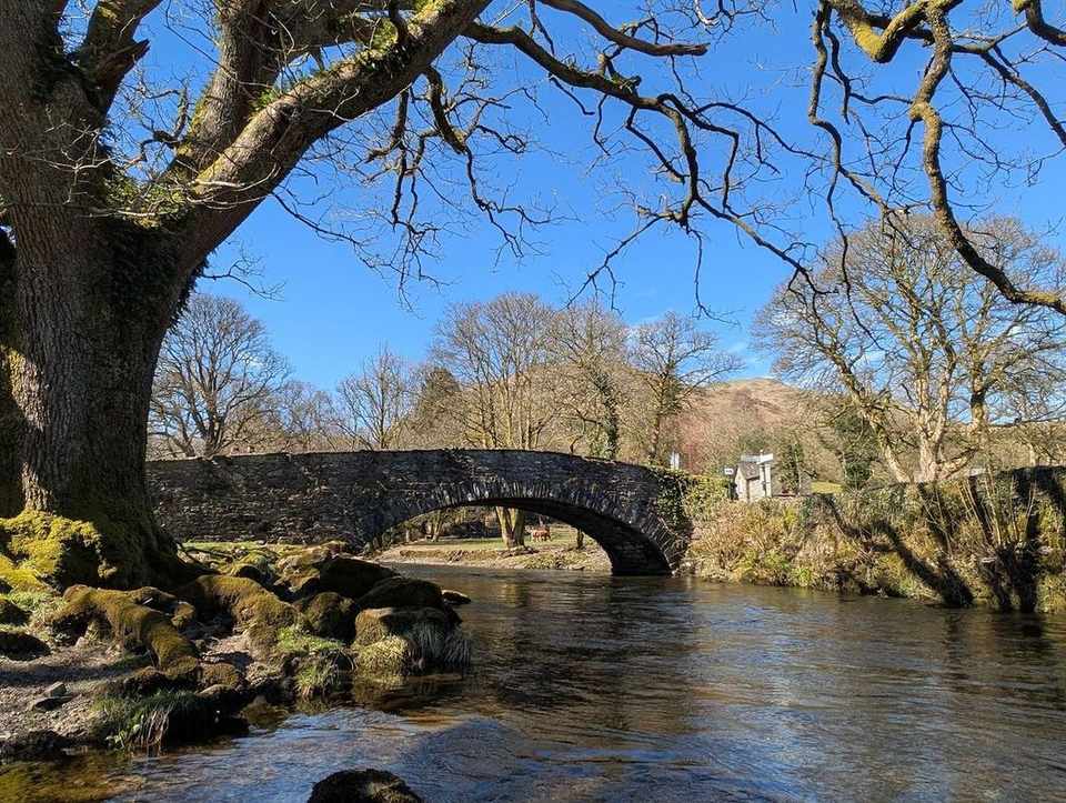 Loughrigg Terrace & Rydal Water10.7 km~288 m~2.5–3.5 hExposure: EasyA lake-and-terrace classic linking Grasmere and Rydal Water, taking in Rydal Cave, the old Coffin Route and the famous Loughrigg Terrace view down Grasmere. Easy-moderate, with a little climbing and some rougher ground.
- Around Loweswater to Fellbarrow and Low Fell10.8 km~417 m~2.5–4 hExposure: HardSummit likely clagged in
- Castle How & Lang How - Birketts10.9 km~445 m~2.5–4 hExposure: Moderate
- Allan Crags & Glaramara10.9 km~806 m~3.5–4.5 hExposure: HardSummit likely clagged in
- Eycott Hills11 km~2–3 hExposure: Easy
- Haystacks11.4 km~738 m~3.5–4.5 hExposure: ModerateSummit likely clagged in
- Lingmoor Fell from Elterwater11.5 km~487 m~3–4 hExposure: ModerateSummit likely clagged inThe best low fell in Langdale, and the one that shows you the valley properly. Lingmoor sits between Great and Little Langdale, so the Pikes rear up across the dale in front of you the whole way along the ridge. Side Pike at the far end throws in a famous rock squeeze. Half the effort of the big Langdale rounds and arguably a better view of them.
- Birketts to the South of Ullswater11.5 km~663 m~3–4.5 hExposure: Hard
- Heughscar Hill & Arthur's Pike11.7 km~436 m~3–4 hExposure: EasyNot enough daylight — start early
- Birketts around Grisedale Pike11.7 km~598 m~3–4.5 hExposure: HardSummit likely clagged in
- Mellbreak and Crummock Water11.7 km~530 m~3–4.5 hExposure: HardSummit likely clagged in
- Green Crag & Great Whinscale — the wild Birker Fell round11.9 km~478 m~3–4.5 hExposure: ModerateSummit likely clagged inA wild, trackless round over the knobbly tops of Birker Fell, in the empty south-western corner of the Lakes that most walkers never reach. From the Birker Fell road it crosses open, boggy moor past Devoke Water — the Lake District's largest tarn — to a cluster of five rocky little summits: Great Whinscale, Crook Crag, then Green Crag, the Wainwright and high point of the day, before Broad Crag and Great Crag on Birker Fell. Under 12 km but genuinely rough underfoot, with proper solitude and a big view over the Duddon, Eskdale and out to the sea.
- Hartsop Fells and Hart Crag11.9 km~765 m~3.5–5 hExposure: HardSummit likely clagged in
 Blencathra via Blease Fell11.9 km~750 m~3.5–5 hExposure: EasySummit likely clagged inA shorter, easier way up the great northern fell of Blencathra than my favourite round from Mungrisdale over Souther Fell. From Threlkeld it climbs the grassy shoulder of Blease Fell (Knowe Crags) to the summit, with a fine high traverse over Gategill Fell Top, Doddick Fell and Scales Fell, and it avoids the boggy ground of Mungrisdale Common. A grand viewpoint over the northern fells and the Eden valley for relatively modest effort — and well clear of the notorious Sharp Edge.
- Wansfell Pike and Baystones11.9 km~534 m~3–4.5 hExposure: ModerateSummit likely clagged in
- Scar Crags, Causey Pike12 km~850 m~3.5–5 hExposure: HardSummit likely clagged in
- Up to Skiddaw Round Trip12 km~799 m~3.5–5 hExposure: ModerateSummit likely clagged in
- Birketts by Gowbarrow12 km~550 m~3–4.5 hExposure: ModerateSummit likely clagged in
- Scope End, Hindscarth & Dale Head from Little Town12.1 km~729 m~3.5–5 hExposure: HardSummit likely clagged inA proper Newlands mountain day that most walkers drive straight past. The shapely Scope End ridge lifts you out of Little Town onto Hindscarth, then an airy walk along Hindscarth Edge carries you over to Dale Head above the head of the valley before a long descent back to the start. It's about 12 km with 730 m of ascent, with no scrambling — but the pulls are steep and the tops are big and open. Walk it on a day the Catbells car parks are overflowing and you'll have the ridge largely to yourself.
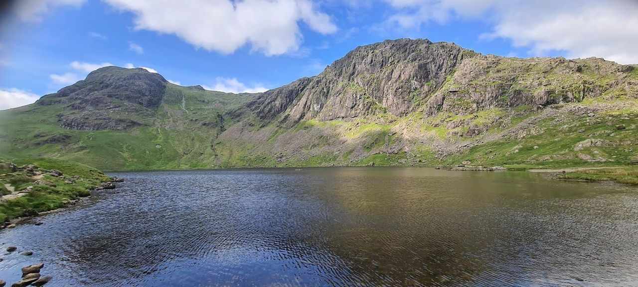 Langdale Pikes Round12.3 km~830 m~3.5–5 hExposure: ModerateSummit likely clagged inA grand round of the Langdale Pikes and the fells behind them. From Great Langdale it climbs past Stickle Tarn to take in Pavey Ark (by the walkers' line, not Jack's Rake), Harrison Stickle, Pike of Stickle and Loft Crag, then loops over Thunacar Knott, High Raise and Sergeant Man before dropping back to the valley. It's a simpler line than my previous version, which added Blea Rigg — boggy on the approach from Sergeant Man. Handily, there are toilets at the car park at the end.
- Walla Crag and Bleaberry Fell from Keswick12.5 km~655 m~3.5–5 hExposure: ModerateSummit likely clagged inA proper fell day that starts and finishes on foot from Keswick — no car needed. Walla Crag gives one of the great Derwentwater views for very little effort; Bleaberry Fell behind it is a rougher, boggier, quieter proposition that most people skip. Together they make a satisfying half-day horseshoe straight out of the town.
- Caudale Moor & St Raven's Edge13 km~724 m~3.5–5 hExposure: HardSummit likely clagged in
- High Stile, Seat via Buttermere13 km~836 m~4–5.5 hExposure: HardSummit likely clagged in
- A quiet Birkett13 km~2.5–3.5 hExposure: EasySummit likely clagged in
- Grike, Crag Fell and Lank Rigg13.1 km~618 m~3.5–5 hExposure: EasySummit likely clagged in
- The Borrowdale Fells (Rosthwaite Fell round)13.1 km~802 m~4–5.5 hExposure: ModerateSummit likely clagged inA wild, little-trodden round of the rough Borrowdale fells above Rosthwaite and Stonethwaite — Bessyboot, Dovenest Top and Thornythwaite Fell — a maze of rocky knolls, hidden tarns and peat hags with huge views to the Scafells. Quiet and full of character, but pathless and boggy: a fair-weather fell day, not a wet-day plod.
- Crummock Water shore circuit13.2 km~191 m~3–4 hExposure: EasyThe full circuit of Crummock Water — about 8.2 miles around one of the loveliest of the western lakes. Largely level but long, and boggy in places along the quieter western shore.
- North of Skiddaw13.2 km~707 m~3.5–5 hExposure: ModerateSummit likely clagged in
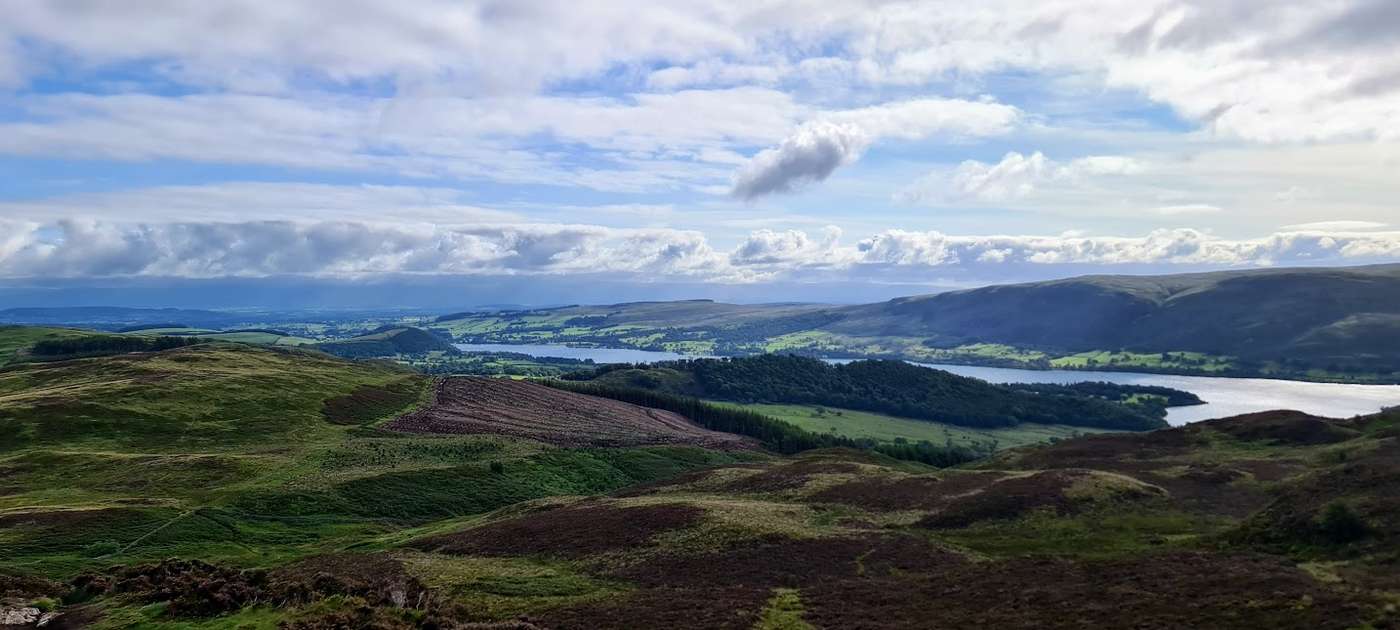 Swineside Knott & Gowbarrow13.3 km~649 m~3.5–5 hExposure: ModerateSummit likely clagged inA satisfying loop over the heather tops of Gowbarrow above Ullswater, starting from the busy Aira Force car park — but climbing quickly away from the waterfall crowds onto quiet, rolling moorland that most of them never reach. The round takes in Brown Hills, Swineside Knott and Common Fell before the open summit of Gowbarrow Fell, a Wainwright with one of the finest views over Ullswater, which stays with you for much of the way. Moderate, with one steep early pull — save it for a clear day and let the lake do the rest.
- Ashness Bridge & Surprise View13.4 km~322 m~3–4.5 hExposure: ModerateA circular of about 8.3 miles along the eastern shore of Derwentwater taking in the iconic Ashness Bridge and the Surprise View over the lake. Mostly low-level (it passes below Walla Crag, not over it).
- Whinlatter Loop13.6 km~671 m~3.5–5 hExposure: HardSummit likely clagged in
- Holme Fell and Black Fell13.7 km~604 m~3.5–5 hExposure: EasySummit likely clagged in
- Standing Crag, High Tove, Armboth14.3 km~545 m~3.5–5 hExposure: ModerateSummit likely clagged in
Hard 48
- Skiddaw via Ullock Pike and Dodd12.4 km~1081 m~4–5.5 hExposure: ModerateSummit likely clagged inA grand horseshoe of the northern Skiddaw group from the forest at Dodd Wood. The walk climbs the clean, shapely ridge over Ullock Pike and along airy Longside Edge to Long Side, then drops to the col by Carl Side before the stiff, loose scree pull onto Skiddaw itself — and one of the great Lakeland summit views, out across the Solway Firth to Scotland. The return crosses back over Carl Side and takes a careful, GPS-checked line down to the wooded little top of Dodd before the drop home through the trees. Five Skiddaw-group Wainwrights — Ullock Pike, Long Side, Carl Side, Skiddaw and Dodd — on a satisfying, varied loop: clean ridge, real summit, quiet forest to finish.
Dec2004.jpg?width=1200) Helvellyn via Striding Edge & Swirral Edge12.7 km~924 m~4–5.5 h⚠ Exposure: SevereToo windy for the topsThe most famous — and most serious — way up England's third-highest mountain, over the knife-edge arêtes of Striding Edge and Swirral Edge, taking in shapely Catstye Cam. I haven't personally walked this exact line, and it's a genuinely dangerous route that demands a head for heights, sure footing and settled conditions; it sees accidents every year. If the edges aren't for you, the far safer walkers' option is to climb via White Side from Thirlmere. In winter the edges become full mountaineering terrain needing an ice axe, crampons and the experience to use them.
Helvellyn via Striding Edge & Swirral Edge12.7 km~924 m~4–5.5 h⚠ Exposure: SevereToo windy for the topsThe most famous — and most serious — way up England's third-highest mountain, over the knife-edge arêtes of Striding Edge and Swirral Edge, taking in shapely Catstye Cam. I haven't personally walked this exact line, and it's a genuinely dangerous route that demands a head for heights, sure footing and settled conditions; it sees accidents every year. If the edges aren't for you, the far safer walkers' option is to climb via White Side from Thirlmere. In winter the edges become full mountaineering terrain needing an ice axe, crampons and the experience to use them.- Mardale Ill Bell, High Street, The Knott, Rampsgill Head, High Raise and Kidsty Pike13.7 km~862 m~4–5.5 hExposure: ModerateSummit likely clagged in
- Catbells, Maiden Moor & High Spy13.8 km~824 m~4–5.5 hExposure: ModerateSummit likely clagged inA lovely, accessible ridge walk above the western shore of Derwentwater, and a great introduction to the fells. From Hawes End it climbs the shapely little peak of Catbells, then follows the airy but easy ridge south over Maiden Moor to High Spy, with Derwentwater and the Newlands valley spread out below. There are a few easy scrambly steps on Catbells that some guides don't mention, but nothing most people can't manage. A modest, rewarding day with some of the best views in the northern Lakes for the effort.
- Birketts North of Thirlmere13.8 km~910 m~4–5.5 hExposure: Hard
- Blake Fell, Gavel Fell, Hen Comb14 km~732 m~4–5.5 hExposure: ModerateSummit likely clagged in
- Castle Crag, Brund Fell & Great Crag14.1 km~795 m~4–5.5 hExposure: HardSummit likely clagged in
- Great Gable & Kirk Fell14.1 km~1146 m~4.5–6.5 hExposure: HardSummit likely clagged in
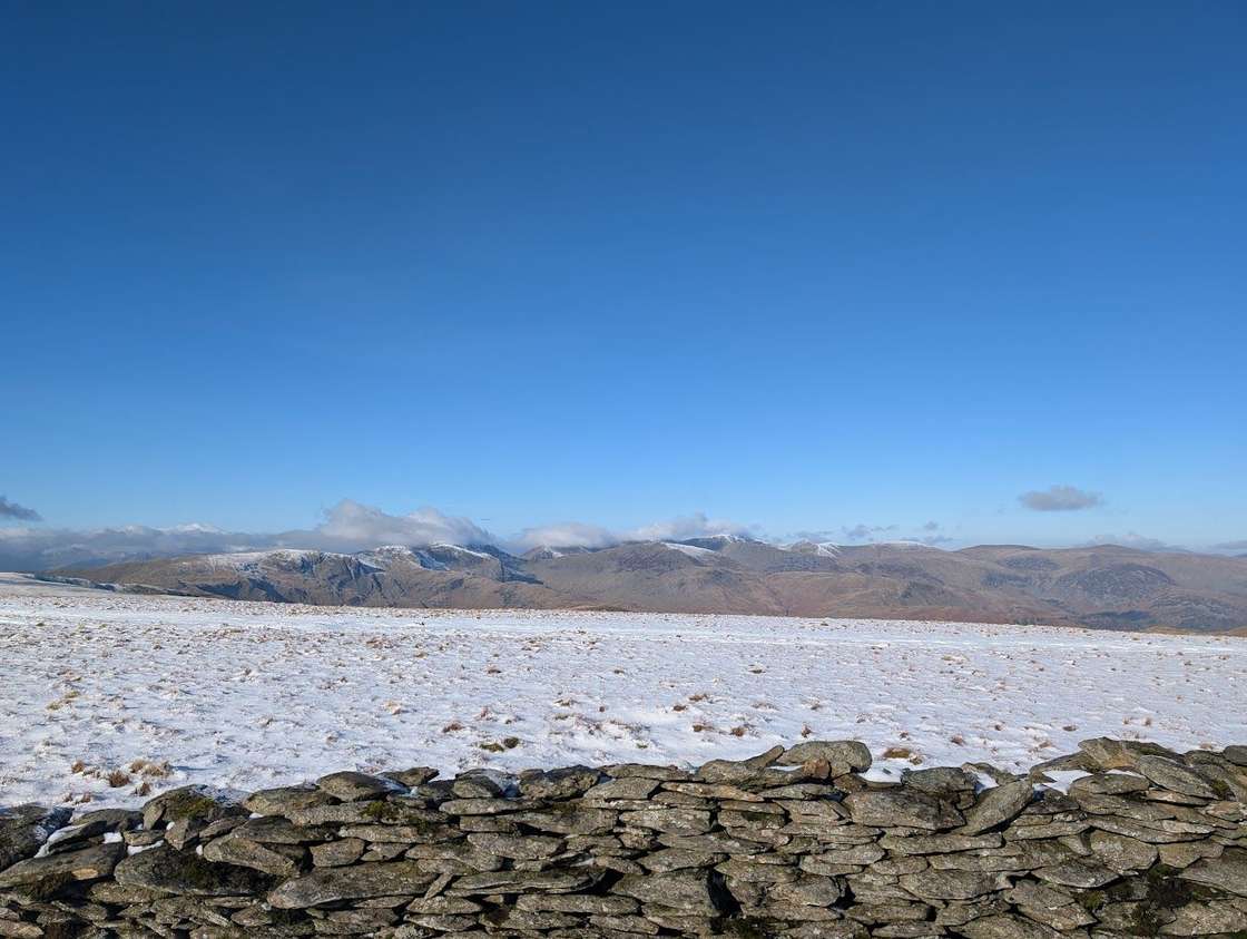 Fusedale Circuit14.7 km~856 m~4–6 hExposure: HardSummit likely clagged inA quiet ~15 km circuit of the Far Eastern fells from Howtown on Ullswater — Hallin Fell, Steel Knotts, Wether Hill, Loadpot Hill, Arthur's Pike and Bonscale Pike — broad grassy tops with grandstand views over the lake. A fine Steamer-and-walk outing.
- Alternative Hardknott Round (Green Crag, Harter Fell & Hard Knott)14.7 km~957 m~4.5–6 hExposure: ModerateSummit likely clagged inA rugged Eskdale round over three characterful, quiet tops — Green Crag, Harter Fell and Hard Knott — through some of the wildest, least-walked country in the Lakes, with the Scafells filling the skyline. Rocky, boggy and lightly pathed: a proper fell day for those who like their hills empty.
- Seathwaite, Green Gable, Base Brown14.8 km~938 m~4.5–6 hExposure: HardSummit likely clagged in
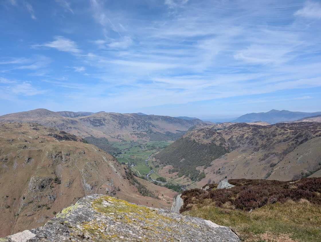 Ullscarf, Eagle Crag & Sergeant's Crag14.8 km~720 m~4–5.5 hExposure: HardSummit likely clagged inA rugged ~15 km round from Stonethwaite over three Wainwrights — the bold rocky nose of Eagle Crag, neighbouring Sergeant's Crag, and the broad whaleback of Ullscarf — returning down the quiet head of Borrowdale.
- Slight Side & Sca Fell14.9 km~933 m~4.5–6 hExposure: HardToo windy for the tops
- Gowbarrow Fell and️ Little Mell Fell15.1 km~705 m~4–5.5 hExposure: ModerateSummit likely clagged in
- Mardale Horseshoe15.3 km~900 m~4.5–6 hExposure: HardSummit likely clagged in
- Birketts by Carrock Fell15.3 km~668 m~4–5.5 hExposure: HardSummit likely clagged in
- West of Grasmere15.4 km~806 m~4–6 hExposure: ModerateSummit likely clagged in
- Helvellyn & Nethermost Pike via Seat Sandal15.7 km~1121 m~5–6.5 hExposure: HardToo windy for the tops
 Scafell Pike via the Corridor Route15.8 km~937 m~4.5–6.5 h⚠ Exposure: SevereToo windy for the topsA grander, more interesting way up England's highest mountain than the Wasdale tourist path — the Corridor Route threads beneath the crags from Seathwaite in Borrowdale, with Lingmell a worthwhile detour for the finest view of the Scafell face. I haven't walked this exact line myself, and there are plenty of accounts of people struggling on certain sections, so read up or watch a route video first. Whatever you do, never be tempted onto Broad Stand. It's a long, rough and serious day on the highest ground in England.
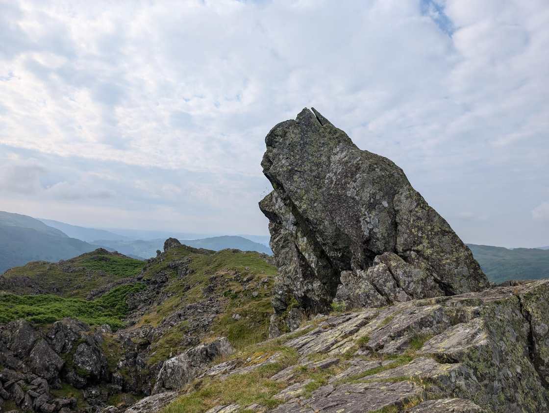 Helm Crag & Far Easedale15.9 km~850 m~4.5–6 hExposure: ModerateSummit likely clagged in
- Great Bourne & Starling Dodd16 km~1100 m~5–6.5 hExposure: HardSummit likely clagged in
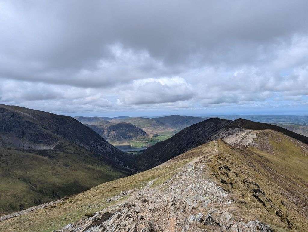 Coledale Round16 km~1108 m~5–7 hExposure: HardSummit likely clagged inOne of the great north-western horseshoes, and a properly big mountain day from Braithwaite. From the little car park tucked behind the trees on the Whinlatter Pass road — or straight off the bus — a steady wake-up climb leads up over Kinn and Sleet How before Grisedale Pike shows its hand: a steep, craggy pull the map never quite warns you about, with hands needed on rock near the top. From its rocky summit the round opens out — the airy ridge over Hobcarton Crag to Hopegill Head's tiny, wind-blown perch, the broad sweep to Crag Hill and Sail, then a long, satisfying horseshoe back over the quieter tops of Outerside, Stile End and Barrow. Six Wainwrights, a handful of Birkett tops, and some of the best ridge-walking in the Lakes for the effort.
- The Grasmoor round: Whiteside, Hopegill Head and Whiteless Pike16.2 km~1068 m~5–6.5 hExposure: HardSummit likely clagged inTen tops and the finest ridge walking in the North Western Fells — up Whiteside, along the narrow crest of Gasgale Crags to Hopegill Head, over the great whaleback of Grasmoor, then out along Wandope and down the elegant cone of Whiteless Pike to Rannerdale. Sixteen kilometres, a thousand metres of climbing, and views over Crummock Water all the way round.
- Birketts above Ullswater16.5 km~694 m~4–6 hExposure: EasySummit likely clagged in
- Carrock Fell and Knott16.6 km~718 m~4.5–6 hExposure: HardSummit likely clagged in
- Whin Rigg, Illgill Head & the Wastwater Screes16.9 km~682 m~4.5–6 hExposure: HardSummit likely clagged inThe high, airy walk along the top of the Wastwater Screes — England’s most dramatic lakeshore, seen from directly above. A long Wasdale round over Whin Rigg and Illgill Head, the ground falling away in a single sweep to the deepest lake in the country. Big, wild and exposed, and best saved for a clear, dry day.
 Fairfield Horseshoe16.9 km~925 m~4.5–6.5 hExposure: HardSummit likely clagged inOne of the classic Lakeland rounds and a fine first big horseshoe. From the car park at Rydal it's a steady, moderate climb with only a minor amount of scrambling — my kids, then 7 and 10, managed it, though they found it a long day. You can easily start from Ambleside instead: stock up at the shops on the way out and finish at the Royal Oak for a well-earned pint. The full round takes in eight tops, with Fairfield's broad summit the high point and Windermere laid out behind you on the descent.
- Walla Crag, Bleaberry Fell, High Seat, High Tove and Armboth Fell17 km~792 m~4.5–6.5 hExposure: ModerateSummit likely clagged in
 Coniston Old Man Round17.4 km~1148 m~5–7 hExposure: ModerateSummit likely clagged inA satisfying round of the Coniston fells, and a simpler approach to the Old Man than my longer outing. From Coniston it climbs to the Old Man itself, then follows the high ridge over Brim Fell and Swirl How and back over Wetherlam, with Grey Friar an easy extra along the way. You can extend it further by adding Dow Crag. Big views over the southern fells and the sea, old copper-mine history underfoot, and a proper mountain feel without the biggest mileage.
- Mardale circuit17.5 km~1099 m~5–7 hExposure: HardSummit likely clagged in
- Birketts by Kentmere Horseshoe17.6 km~754 m~4.5–6.5 hExposure: ModerateSummit likely clagged in
- Blencathra to Mungrisdale Common and over the back17.6 km~961 m~5–7 hExposure: HardSummit likely clagged in
- Great Calva, Knott, High Pike and Carrock Fell17.6 km~656 m~4.5–6 hExposure: HardSummit likely clagged in
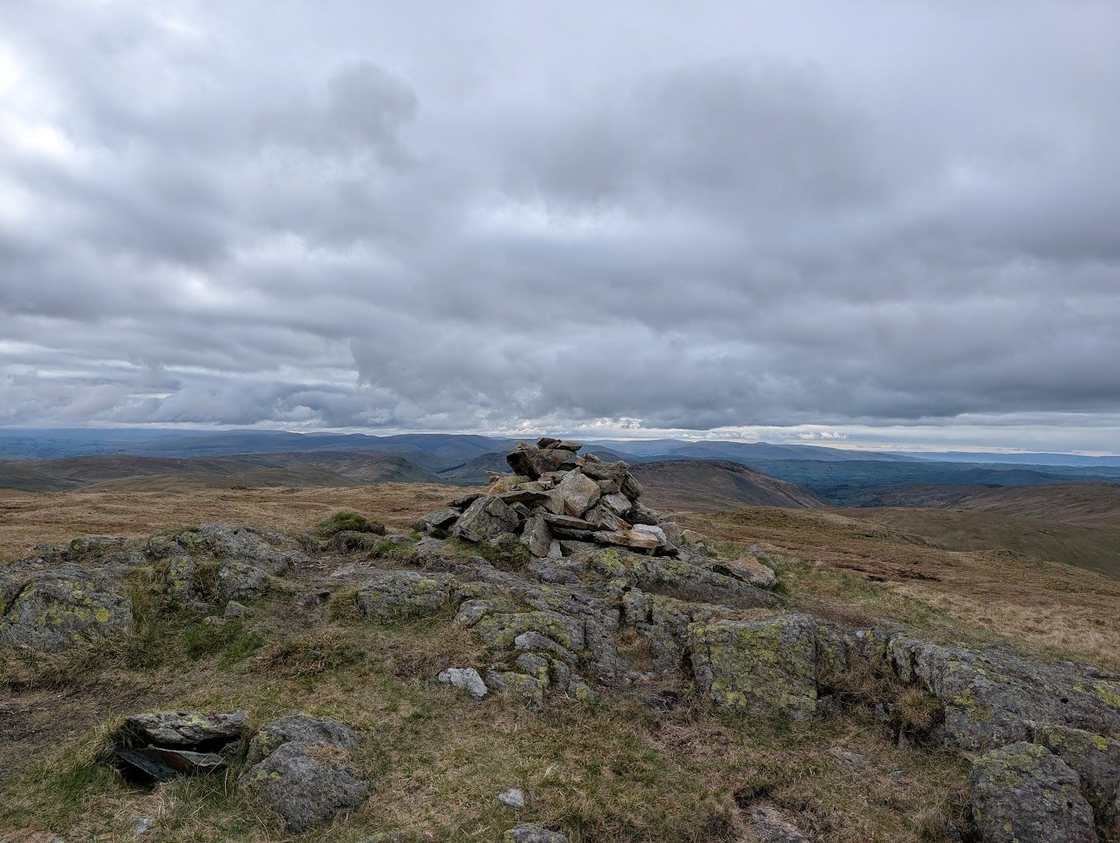 Longsleddale Round (Kentmere Pike, Tarn Crag, Grey Crag & Shipman Knotts)17.7 km~1043 m~5–7 hExposure: HardSummit likely clagged inA long ~18 km round from Sadgill in quiet Longsleddale over five Wainwrights — Grey Crag, Tarn Crag, Kentmere Pike, Harter Fell and Shipman Knotts — across some of the loneliest, broadest grass tops in the Far Eastern fells. Real navigation in cloud.
- Esk Pike and Great End17.7 km~1099 m~5–7 hExposure: ModerateToo windy for the tops
- Rosett Pike, Allen Crags, Great End and more17.7 km~1176 m~5.5–7.5 hExposure: HardToo windy for the tops
- Birketts by Loweswater18.7 km~995 m~5–7 hExposure: ModerateSummit likely clagged in
- Around Loweswater19.1 km~1019 m~5.5–7.5 hExposure: HardSummit likely clagged in
- Lonscale Fell, Skiddaw Lesser Man, Skiddaw and Bakestall in the sun!19.3 km~1116 m~5.5–7.5 hExposure: ModerateSummit likely clagged in
- Honister to Keswick: over the Newlands fells19.6 km~1035 m~5.5–7.5 hExposure: HardSummit likely clagged inA big Newlands horseshoe walked one–way from the top of Honister Pass to Keswick. You climb straight onto Dale Head, trace the broad grassy tops over Hindscarth and Robinson, drop to Newlands Hause and pick up the quieter Knott Rigg–Ard Crags ridge, then walk out down the Newlands valley into town — six summits and a proper day out, with no car to collect.
- Brock Crags, Angletarn Pikes, Beda Fell & Place Fell19.7 km~1070 m~5.5–7.5 hExposure: EasySummit likely clagged inA big, varied Far Eastern round above Patterdale and the quiet Boredale and Bannerdale valleys — over Brock Crags to lovely Angle Tarn (one of the prettiest sheets of water in the Lakes), along the grassy whaleback of Beda Fell, and up characterful Place Fell for its superb view down Ullswater. Nearly 20 km and a proper day out, but rarely hard underfoot.
- Ard Crags & Knott Rigg19.7 km~687 m~5–7 hExposure: ModerateSummit likely clagged in<AI-GENERATED for planned routes; replaced with Lee's own account once Revised>
- Kentmere Horseshoe20.1 km~1029 m~5.5–7.5 hExposure: ModerateSummit likely clagged inThe classic round of the Kentmere valley — a 20 km, ~1,030 m horseshoe over eight Wainwrights: up over Yoke and the shapely Ill Bell ridge to Thornthwaite Crag, then back over Mardale Ill Bell, Harter Fell, Kentmere Pike and Shipman Knotts. A long, high, broad-ridged day in the Far Eastern fells.
- Helm Crag, Gibson Knott, Calf Crag, Steel Fell and Tarn Crag20.8 km~910 m~5.5–7.5 hExposure: ModerateSummit likely clagged in
- Birketts West of Thirlmere23.1 km~1047 m~6–8.5 hExposure: HardSummit likely clagged in
- West of Wet Sleddale - Birketts23.8 km~856 m~6–8 hExposure: ModerateSummit likely clagged in
- Cockup at the White Hause and other Birketts23.9 km~1160 m~6.5–9 hExposure: ModerateSummit likely clagged in
- Hart Side, Stybarrow Dodd, Raise, Watson's Dodd and more24.4 km~816 m~6–8 hExposure: HardSummit likely clagged in
Severe 12
- Glenridding Dodd, Sheffield Pike, Catstye Cam, Birkhouse Moor15.6 km~1209 m~5–7 hExposure: HardToo windy for the tops
- High Snockrigg, Eel Crag & Lad Hows15.7 km~1399 m~5.5–7.5 hExposure: HardSummit likely clagged in
- Extended Mosedale Horseshoe16.6 km~1303 m~5.5–7.5 hExposure: HardSummit likely clagged in
- Middle Fell, Haycock Seatallan and Buckbarrow17.8 km~1253 m~5.5–7.5 hExposure: HardSummit likely clagged in
- Langdale Horseshoe20.2 km~1497 m~6.5–8.5 hExposure: HardToo windy for the topsThe full Langdale Horseshoe — fifteen tops, 1,500 m of ascent and one of the hardest days in the Lakes that involves no rope. The Langdale Pikes, Bowfell, the whole Crinkle Crags ridge and Pike of Blisco in a single round. It is long, rough, and the Crinkles will try to lead you down the wrong side. Do not start it late.
- The Coniston Horseshoe20.8 km~1279 m~6–8.5 hExposure: HardSummit likely clagged inThe full Coniston Horseshoe — the grand ~21 km, ~1,280 m round of seven Wainwrights above Coniston: Wetherlam, the steep Prison Band onto Swirl How, Great Carrs, Grey Friar, Brim Fell, the Old Man of Coniston and Dow Crag. The big day out; for the shorter version see the [Coniston Old Man round](/routes/coniston-old-man-round.html).
- Angletarn Pikes and the Martindale round22.2 km~1349 m~6.5–9 hExposure: EasySummit likely clagged inA long, quiet circuit of the Far Eastern fells above Patterdale — over Rest Dodd and out to the remote peak of The Nab, then back across Brock Crags to the twin tops of Angletarn Pikes, and home over Beda Fell and Place Fell. Twenty-two kilometres and six summits in some of the emptiest country in the National Park.
- Long Hike to Fairfield from Ambleside22.4 km~1350 m~6.5–9 hExposure: ModerateSummit likely clagged in
- Birketts North of Skiddaw23 km~1434 m~7–9.5 hExposure: ModerateSummit likely clagged in
- Birketts West of Haweswater23.8 km~1235 m~6.5–9 hExposure: HardSummit likely clagged in
- Very Long Day Out26.8 km~1743 m~8–11 hExposure: HardSummit likely clagged in
- Sour Howes, Sallows, Yorke, Illl Bell, Frostwick and Troutbeck Tongue in the sun!27.6 km~1395 m~7.5–10.5 hExposure: ModerateSummit likely clagged in
Nothing matches those filters — .
Common questions
How do you grade difficulty?
By the size of the day: the distance and total ascent from the GPS track (roughly the Naismith time). It's a measure of effort and commitment, not technical difficulty — so we show exposure separately, because a short walk can still be seriously exposed and a big round can be a gentle plod. Easy is under about 2 hours, Moderate 2–4, Hard 4–5, and Severe is reserved for the big days (over 5 hours and 1,200 m of ascent).
A walk looks low-graded but I've heard it's serious — why?
Difficulty here is about how big the day is. A route can be modest in distance and ascent yet still involve real exposure — steep drops or scrambling — so always read the exposure flag, not just the band. The famous edges and scrambles are gathered on our Scrambles & the edges page.