The View Report
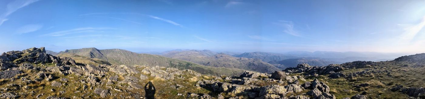
Want the biggest views in Lakeland — and you’re happy to earn them? This is the map of which summits actually pay you back for the climb: the fells that, on a clear day, reward the sweat with the most other summits in sight, the furthest horizons, and distant coasts and countries you might not believe are visible until you check the geometry. Pick a big one, wait for clear air, and go.
A sourced sightline for all 214 Wainwrights, computed from open terrain data and corrected for the curve of the Earth and the bending of light — so what you see here is geometry, not marketing.
From the western fells, the Isle of Man’s Snaefell sits about 84 km out across the Irish Sea — and at that range the curve of the Earth hides some 482 metres of it. So whether its 621-metre summit clears the horizon isn’t really a weather question; it’s a geometry one, settled by the height of the ground you stand on and how far the air bends the light that day. Our model puts it in view from the higher western and central tops — the sightline that turns this feature from a map into a physics story.
How often are the tops clear?
Share of daylight hours the summits sit clear of cloud, month by month — indicative · modelled · regional. Read from the summit hygrometer at Great Dun Fell (847 m), the nearest long-run summit weather station (2014–2023) — a guide to the higher fells, not Lakeland-specific weather. The faint marker on each bar shows the spread between years.
Bars: typical share of daylight hours clear of cloud. Clearest in spring (April ≈ 62%), lowest in midwinter (December ≈ 7%).
The top counts as “in cloud” when its air is at saturation (dewpoint depression under 0.5 °C, or humidity ≥ 97%) — a modelled proxy from summit humidity, not a cloud observation. Cross-checked against the Helvellyn Fell Top Assessor archive, against which it reads slightly conservative. Contains public sector information licensed under the Open Government Licence — Met Office MIDAS Open.
Every Wainwright, ranked by the view
Click any heading to sort. “In view” counts summits above a clear-visibility threshold; distant lands are named, not tallied. all 214 Wainwrights.
| Fell | Height | In view | Furthest | Distant lands |
|---|
Sightlines are computed from a bare-earth terrain model (forests and buildings not included), corrected for the Earth’s curvature and average atmospheric refraction (k = 0.13). Figures over 100 km, and the Snaefell and cross-border views, depend on exceptionally clear air. Modelled from Copernicus GLO-30 open elevation data (OGL-compatible) — a guide to the view, not a guarantee of any single one. See also the navigation guide and our data sources.