Features & data reports
The long reads — sourced, honest, and about what really happens on the fells.
Deeper pieces than a route write-up: data reports on mountain safety, notes on the seasons, and the odd bit of Lakeland history — every claim referenced, and the things we couldn't evidence left out.

Mountain Rescue report
78% of call-outs come after midday — the sourced numbers behind the fells, and what they mean for getting home safely.
Read the report →More features
Skills
Navigating in Cloud
A per-fell score for how hard each of the 214 Wainwright fells is to navigate in cloud — computed from the shape of the ground and checked against the fells everyone knows are traps. Relative and deliberately cautious; carry map and compass.
Read →
Safety
Bad Weather Hiking
How to hike safely in bad weather in the Lake District: the Go / Go-Lower / No-Go Scale, the conditions one at a time, the evidence, kit and emergencies — MWIS-calibrated, fully cited, with a live tool, a printable checklist and an alternative finder.
Read →
Skills
How to start hiking
Field-tested beginner's guide to hill-walking in the Lake District — what to do, what to carry, what it really costs, and the mistakes I made so you don't have to.
Read →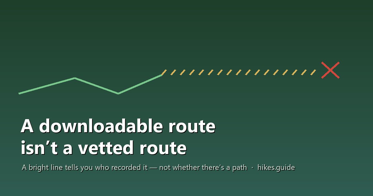
Safety
Downloadable routes
Why a crowd-sourced GPX line is not a checked route: the national rescue data, how a bad line is born in the Lake District (with the Barf and Broad Stand cases), the route-vs-track distinction, a sniff-test for spotting a bad line, and an honest account of what vetted provenance means. Calibrated and fully cited.
Read →
Safety
Phone Satellite SOS
What phone satellite SOS really does for UK hillwalkers: the two technologies, the UK emergency-only reality, why it fails in gullies and corries, why a 999 call is still your best lifeline, and phone-vs-inReach. Honest, dated and fully sourced.
Read →
Data & reports
Most-Searched Wainwrights
Which of the 214 Wainwright fells people actually search for — the top 10 take about 67% of all interest — set against our own terrain-exposure rating and the Google-Ngrams ‘authored fame’ signal. Honestly framed; the ambiguous names shown openly.
Read →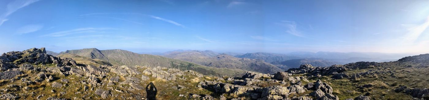
Data & reports
The View Report
A sourced sightline for every Wainwright: how many other fells are in view, how far the horizon runs, and which coasts and countries appear on the clearest
Read →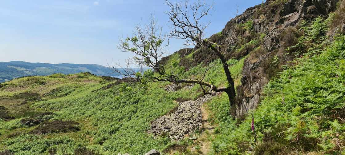
Access & paths
The Path Beneath Your Boots
Every Lakeland fell path is hand-built and hand-maintained by Fix the Fells — at £200–£400 a metre and £500,000 a year, all charity-funded. How a fell path is
Read →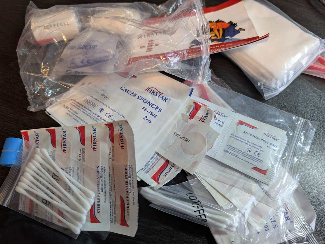
Safety
First aid
Field-tested Lake District first aid — ankle and lower-leg injuries, hypothermia staging, blisters, cardiac arrest on remote terrain, plus an honest evacuation
Read →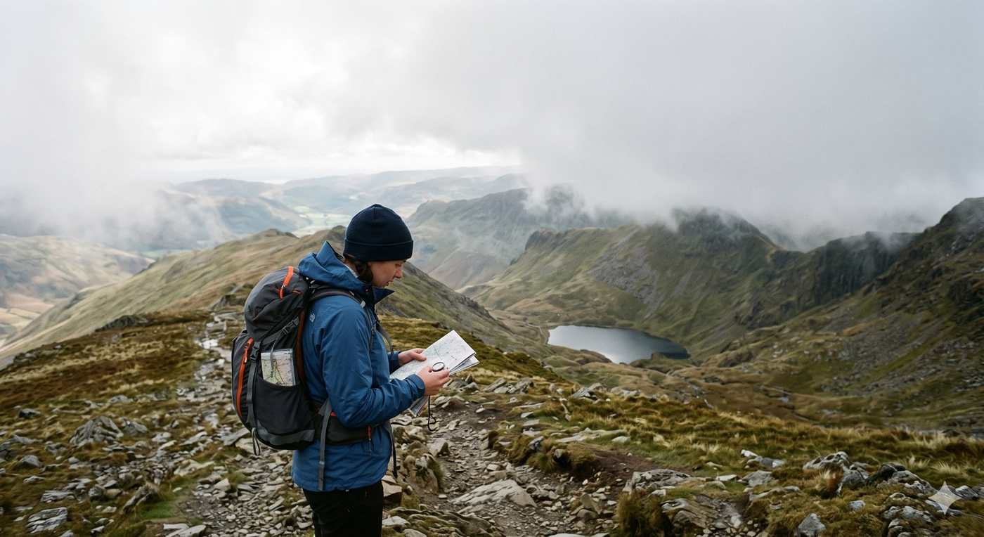
Skills
Navigation
A field-tested guide to navigating the Lake District fells — OS maps, compass bearings, contours and grid references, plus a hard-won comparison of GPX
Read →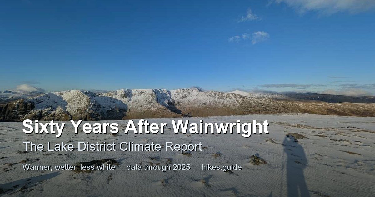
Data & reports
Climate report
Sixty years after Wainwright's last Pictorial Guide, the sourced data on how climate change has reshaped the Lake District fells — warmer, wetter and less white — and what it means for hikers. Every figure dated, based and attributed.
Read →
Data & reports
Beck-water metals: the dataset
The Environment Agency's dissolved lead, cadmium, zinc and copper measurements for Lake District becks, joined to the walking routes that cross them. Open data (OGL v3.0), with methodology and a CSV download.
Read →
Safety
Can you drink the water?
The filter you're told to buy removes what a Lakeland beck mostly hasn't got, and none of what it has below the old mines. Which becks carry lead and cadmium, why gear can't fix it, and where the water is fine.
Read →
Data & reports
How we compute the view
The method behind hikes.guide's computed 360-degree summit panoramas: Copernicus GLO-30 terrain, ray-cast horizons, a two-axis confidence model (geometry + haze), and how we verify it. Computed, not photographed.
Read →
Safety
Summer on the Fells
Adders: no deaths in Britain in fifty years. Wasps and bees: three or four a year. The fell itself: about 21 a year in the Lakes. The summer hazards ranked by evidence, not fear. Heat, water, lightning, cattle, ticks, adders and fire — with the honest gaps where no evidence exists.
Read →
Access & paths
Terrain & access
The 145 quieter Lake District fells — the Birkett, Synge and Outlying tops, not one a Wainwright. 31 have no path to the summit, 83 finish across open ground. Which need real navigation, how steep, and where to check access — computed from open data.
Read →
Safety
The descent is the dangerous half
In the largest studies, about 75% of hiker falls happen on the way down. The evidence, the biomechanics of eccentric loading, and the Lake District descents that will actually hurt.
Read →Guide
The Howgill Fells
The Howgill Fells are not in the Lake District - they are in the Yorkshire Dales National Park, east of the M6. Wainwright gave them their own book.
Read →Guide
The perfect round
We computed the best continuous round of all 214 Wainwrights over every mapped path and road in the Lake District. It comes out longer and hillier than the record - and the reason why is the interesting part.
Read →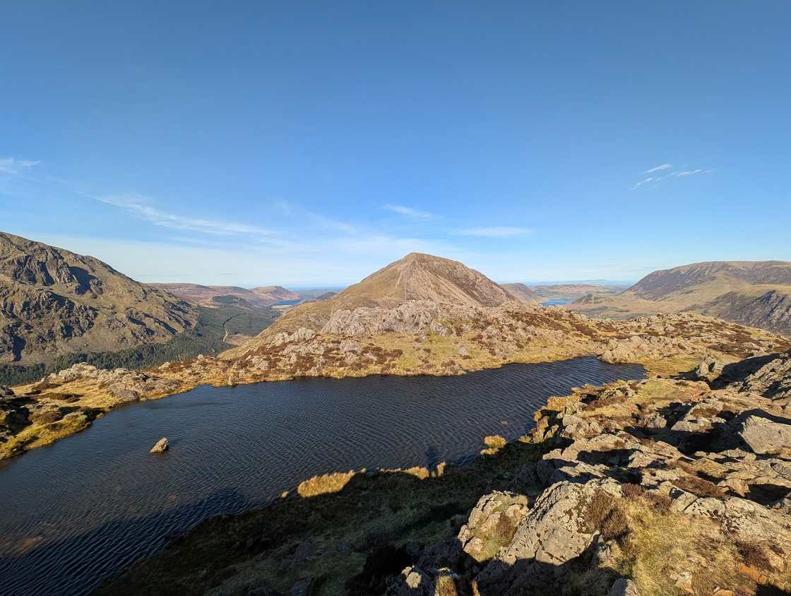
Bagging & lists
What else have you climbed?
Upload your GPX tracks and find out how many Birketts, Outlying Fells, Synges, Fellrangers and Nuttalls you have already climbed while bagging the Wainwrights. Runs entirely in your browser — your tracks never leave your device.
Read →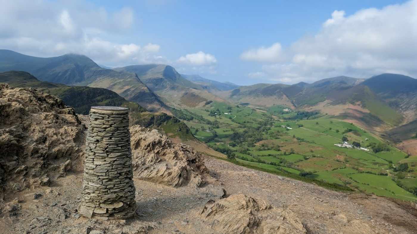
Bagging & lists
You’ve climbed more than you think
Finish the 214 Wainwrights and you have already climbed 91% of the Fellrangers, 42% of the Synges and over 209 Birketts — the Lakeland bagging lists overlap far more than most walkers realise. The numbers, and a tool to find your own.
Read →