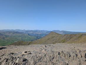
Classic horseshoes & rounds
The connoisseur's days out: horseshoes and ridge rounds — circular skyline walks that loop around a valley or tarn, linking four or more summits in a single grand outing and returning near where you started. These are the routes that show the Lakes at their best, walking the tops all day: the Fairfield and Kentmere Horseshoes, the Coledale and Newlands rounds, the Coniston and Mardale skylines and more. They're proper mountain walks — long days with real ascent, sometimes exposed, and committing once you're on the ridge. Check each route's distance, ascent and difficulty, allow plenty of daylight, carry a map and compass, and check the mountain forecast before you go.
- Too windy for the topsBlencathra by Sharp Edge7 km~644 m~2.5–3.5 hSevereThe most exposed ridge in the Lake District that walkers routinely attempt — a narrow, airy arete of polished rock above Scales Tarn, followed by a steep pull onto Blencathra and a fine descent over Doddick and Scales Fell. It is a magnificent line. It is also the single most dangerous thing on this site, and we are not going to soften that.
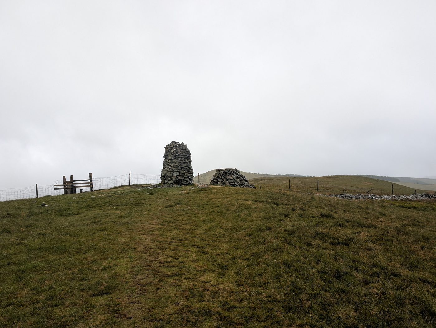 Too windy for the topsKirk Fell and Broom Fell7.6 km~486 m~2–3 hFour quiet tops in the Lorton fells — Kirk Fell, the Graystones pair and Broom Fell — in just 7.5 km with 486 m of climbing and a stage averaging 20%. Easy for length, severe for steepness; about 2.3 hours.
- Birketts South of Burnbanks7.6 km~265 m~2–2.5 hFour low tops in the woods and crags above Haweswater — Naddle Low Forest, Hugh's Laithes Pike, Wallow Crag and Naddle High Forest. Just 7.6 km and 265 m, easy for length but rated hard to navigate. About two hours.
- Dunnerdale Fells8.6 km~484 m~2.5–3.5 hFive small rocky tops above the Duddon — Great Stickle, Stickle Pike and Raven's Crag among them — in 8.6 km with 484 m of climbing. Short but rated hard to navigate; about two and a half hours.
- Birketts Around Devoke Water8.6 km~363 m~2–3 hFive small tops circling Devoke Water — White Pike, Woodend Height, Yoadcastle, Water Crag and Rough Crag — in 8.6 km with 363 m of climbing and nothing steeper than about 7%. Short, but rated hard to navigate. Around 2.3 hours.
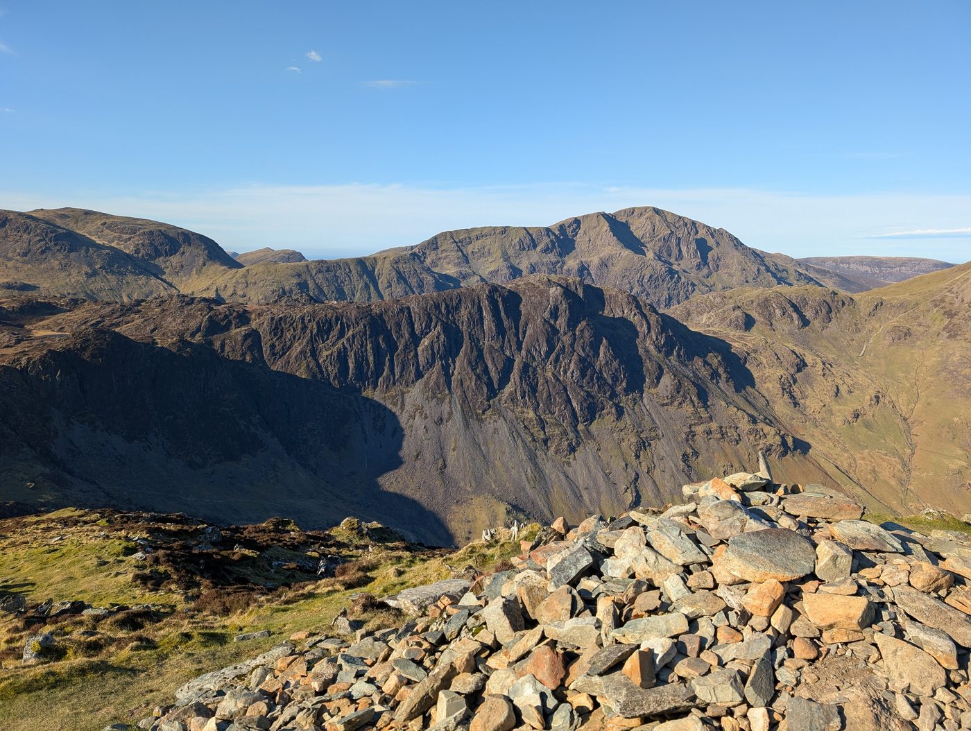 Too windy for the topsBlack Star Brandreth and others9.2 km~597 m~2.5–3.5 hStraight up from the Honister pass — Honister Crag, Fleetwith Pike, Brandreth and Grey Knotts in 9.2 km with 597 m of climbing. Short but severe for steepness and hard for exposure, with one stage averaging 15%. Under three hours.
 Too windy for the topsTwo Birketts from Mardale Head9.6 km~512 m~2.5–3.5 hBranstree and its north-east top above Haweswater, with two more summits on the way — 9.6 km and 512 m, a stage averaging 19%, and hard route-finding on featureless ground. Under three hours.
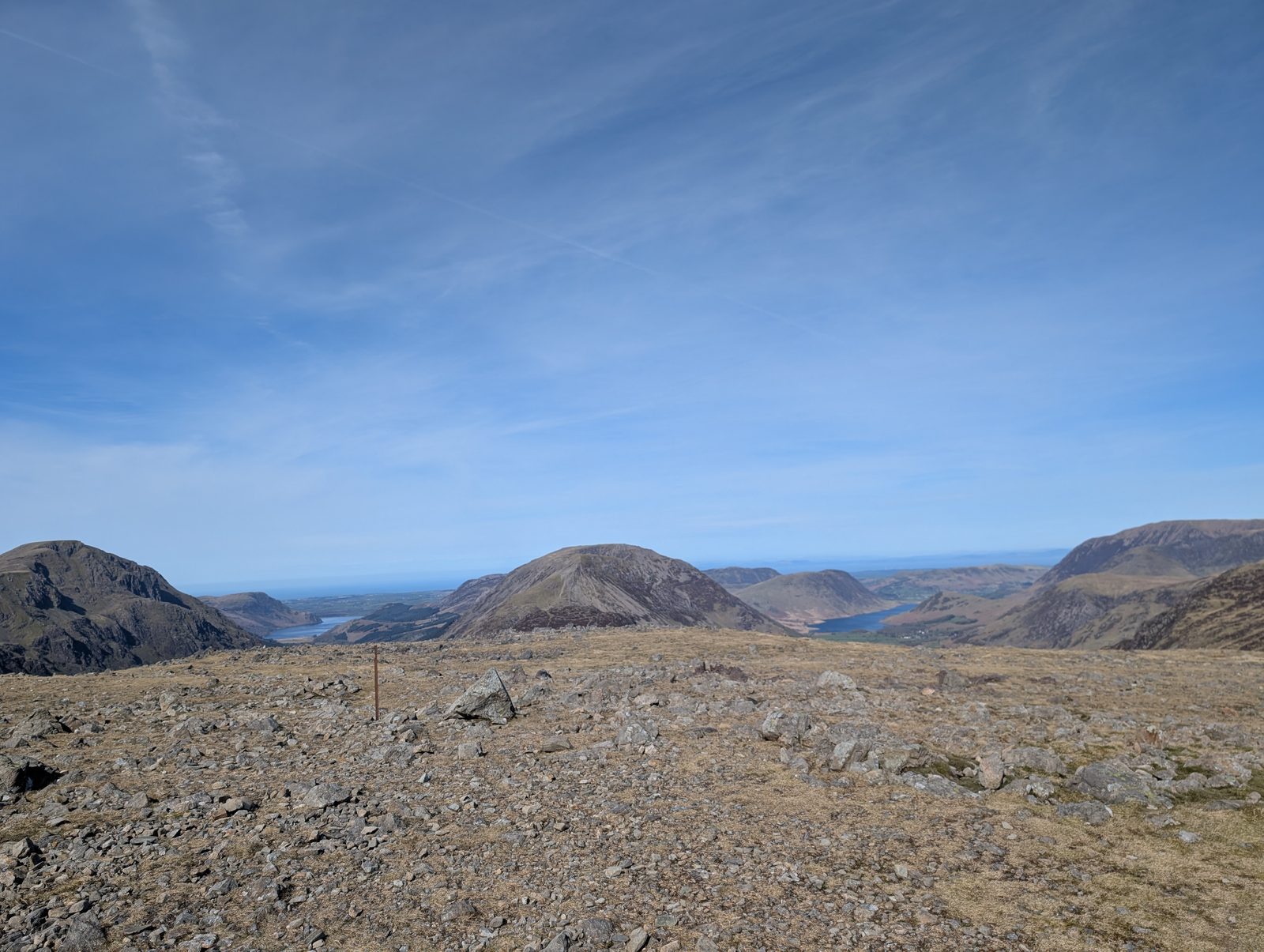 Too windy for the topsGreat Gable from Honister Slate Mine9.6 km~690 m~3–4 hHardThe kindest way to England’s most-loved mountain. Honister starts you at 350 m, so the Grey Knotts–Brandreth–Green Gable ridge does most of the climbing for you before the final stony pull onto Great Gable. Four Wainwrights, a summit war memorial and the finest view in Lakeland down into Wasdale — but the top is a broad boulder plateau, and in cloud it is one of the great navigation traps.
 Too windy for the topsSwarth Fell and Loadpot Hill9.7 km~568 m~2.5–4 hFour far-eastern tops above Ullswater — Swarth Fell, Loadpot Hill, Brownthwaite Crag and Steel Knotts — in 9.7 km with 568 m of climbing. Severe for steepness, hard for navigation and exposure; under three hours.
- Too windy for the topsStile End, Outerside, Causey Pike, Rowling End9.9 km~682 m~3–4 hFour small Newlands tops in 9.9 km, though 682 m of ascent packed into that makes it steeper than the distance suggests, with one stage averaging 16%. Both the terrain and the exposure are rated hard along Causey Pike's knobbly crest. About 3.1 hours.
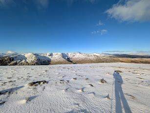 Too windy for the topsSt Sunday Crag10 km~782 m~3–4.5 hThree tops and an outlier on the long Patterdale ridge — Arnison Crag, Birks and St Sunday Crag, with Gavel Pike a short detour off the summit. Steep in places, but the walking line stays well clear of the crags throughout.
 Too windy for the topsHartsop Dodd, Stony Cove Pike, Thornthwaite Crag and Gray Crag10 km~832 m~3–4.5 hFour tops above Hartsop in 10 km with 832 m of climbing, including a stage averaging 35% — as steep as anything on the site. Severe for steepness but only moderate for navigation and exposure. About 3.4 hours.
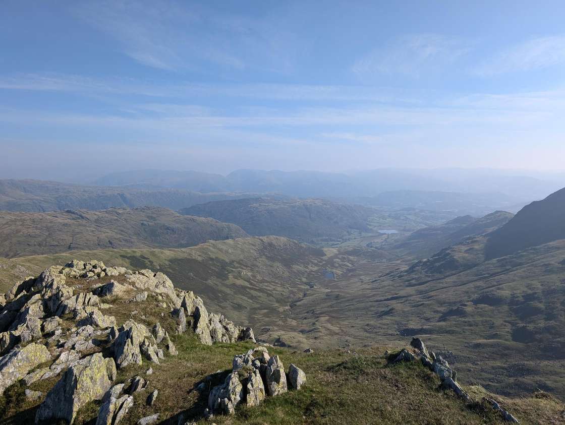 Too windy for the topsBlack Sails & Great How10.8 km~773 m~3–4.5 hSix tops on the Coniston skyline — Hell Gill Pike, Little Carrs, Great Carrs, Swirl How and Great How — in 10.8 km with 773 m of climbing and one stage averaging 19%. Hard for navigation and exposure; about 3.4 hours.
- Summit likely clagged inAround Loweswater to Fellbarrow and Low Fell10.8 km~417 m~2.5–4 hA short north-western round over Low Fell, Sourfoot Fell, Smithy Fell and Fellbarrow — 10.8 km and 417 m, moderate on every axis except steepness. Under three hours at a steady pace.
- Too windy for the topsAllan Crags & Glaramara10.9 km~806 m~3.5–4.5 hGlaramara's knobbly crest and Allen Crags, five summits linked along the ridge above Borrowdale. 806 m of climbing in 10.9 km, rated severe for steepness though navigation and exposure both stay moderate. About 3.5 hours.
 Too windy for the topsThree Dodds and Calfhow Pike11.1 km~819 m~3.5–5 hGrassy, rounded and quick underfoot: Stybarrow Dodd, Watson's Dodd and Great Dodd, with Calfhow Pike tucked between them. 11.1 km and 819 m, one stage at 16%. Exposure is rated hard, there being no shelter anywhere along the ridge. About 3.6 hours.
- Birketts to the South of Ullswater11.5 km~663 m~3–4.5 hSleet Fell, Low Birk Fell and the Birk Fell tops on the quiet southern shore — five summits in 11.5 km with 663 m of climbing. Severe for steepness and hard for both navigation and exposure; about 3.4 hours.
 Too windy for the topsBirketts around Grisedale Pike11.7 km~598 m~3–4.5 hSeven tops on and around Grisedale Pike, taking in Hobcarton End, Hobcarton Crag and Sand Hill — 11.7 km and 598 m over eight stages, rated severe for steepness and hard for exposure. About 3.3 hours.
- Too windy for the topsGreen Crag & Great Whinscale — the wild Birker Fell round11.9 km~478 m~3–4.5 hModerateA wild, trackless round over the knobbly tops of Birker Fell, in the empty south-western corner of the Lakes that most walkers never reach. From the Birker Fell road it crosses open, boggy moor past Devoke Water — the Lake District's largest tarn — to a cluster of five rocky little summits: Great Whinscale, Crook Crag, then Green Crag, the Wainwright and high point of the day, before Broad Crag and Great Crag on Birker Fell. Under 12 km but genuinely rough underfoot, with proper solitude and a big view over the Duddon, Eskdale and out to the sea.
 Too windy for the topsHartsop Fells and Hart Crag11.9 km~765 m~3.5–5 hSix tops from Gale Crag over Hartsop Above How to Hart Crag — 11.9 km and 765 m, with one stage averaging 20%. Severe for steepness, moderate everywhere else; about 3.6 hours.
- Too windy for the topsBlencathra via Blease Fell11.9 km~750 m~3.5–5 hEasyA shorter, easier way up the great northern fell of Blencathra than my favourite round from Mungrisdale over Souther Fell. From Threlkeld it climbs the grassy shoulder of Blease Fell (Knowe Crags) to the summit, with a fine high traverse over Gategill Fell Top, Doddick Fell and Scales Fell, and it avoids the boggy ground of Mungrisdale Common. A grand viewpoint over the northern fells and the Eden valley for relatively modest effort — and well clear of the notorious Sharp Edge.
- Too windy for the topsScar Crags, Causey Pike12 km~850 m~3.5–5 hBarrow, Outerside, Scar Crags, Causey Pike and Rowling End above Newlands — five tops in 12 km with 850 m of climbing. Hard for terrain, navigation and exposure, severe for steepness; about 3.8 hours.
 Too windy for the topsUp to Skiddaw Round Trip12 km~799 m~3.5–5 hA compact way onto Skiddaw over Lonscale Fell — 12 km and 799 m — keeping off the tourist path for most of the climb. Burnt Horse Ridge is steep and often wet underfoot, the summit plateau is fully exposed to whatever the weather is doing, and the return is a sustained 519 m descent on stone and gravel.
 Summit likely clagged inBirketts by Gowbarrow12 km~550 m~3–4.5 hFive tops around Gowbarrow Park above Ullswater, including the Wainwright summit of Gowbarrow Fell — 12 km and 550 m, with one stage averaging 16%. Rated hard to navigate despite the modest scale. Around 3.3 hours.
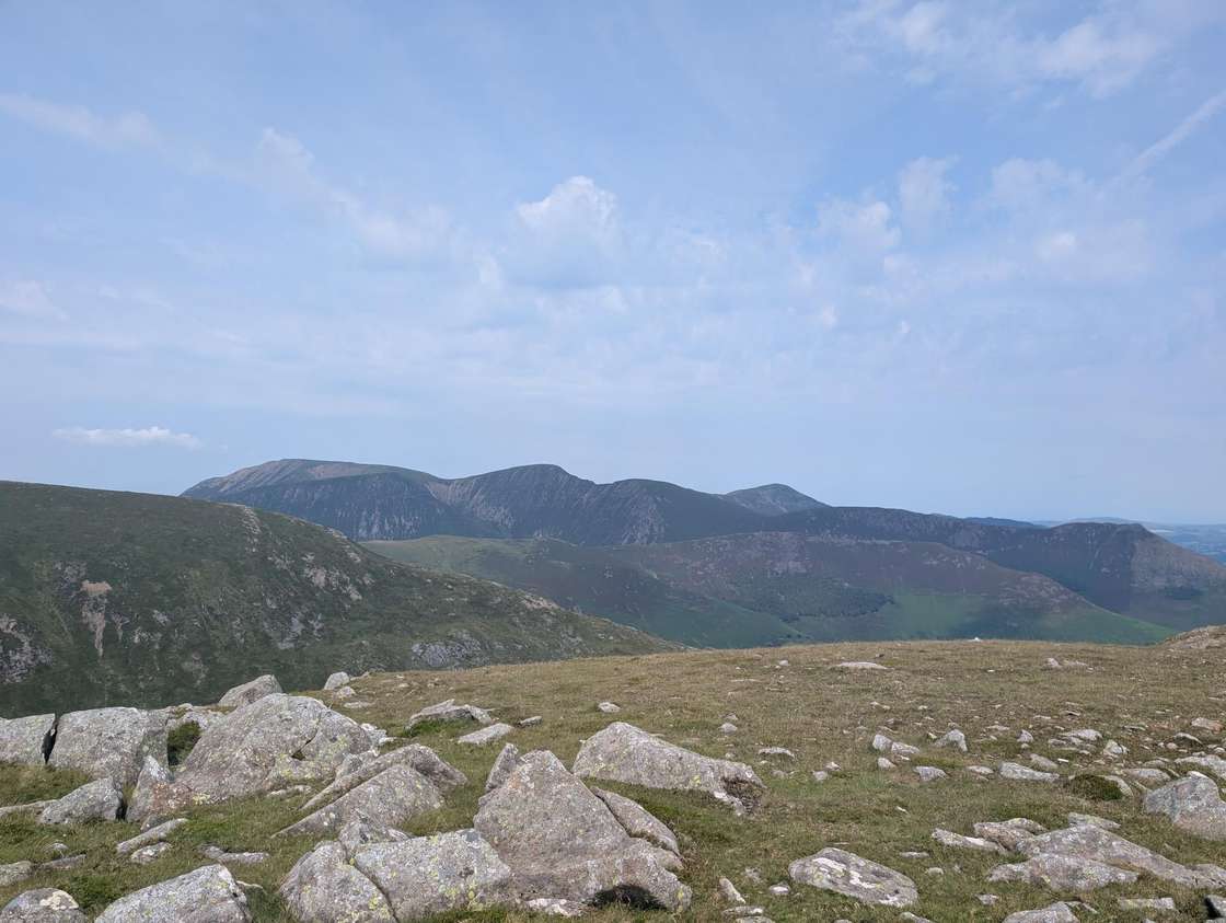 Too windy for the topsScope End, Hindscarth & Dale Head from Little Town12.1 km~729 m~3.5–5 hModerateA proper Newlands mountain day that most walkers drive straight past. The shapely Scope End ridge lifts you out of Little Town onto Hindscarth, then an airy walk along Hindscarth Edge carries you over to Dale Head above the head of the valley before a long descent back to the start. It's about 12 km with 730 m of ascent, with no scrambling — but the pulls are steep and the tops are big and open. Walk it on a day the Catbells car parks are overflowing and you'll have the ridge largely to yourself.
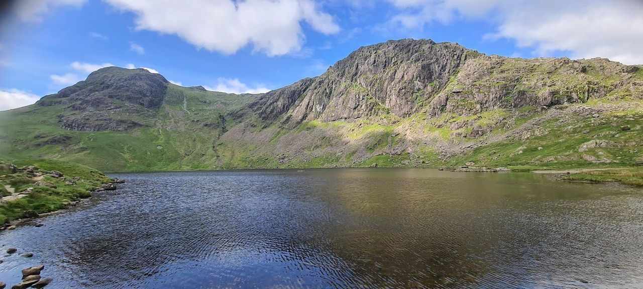 Too windy for the topsLangdale Pikes Round12.3 km~830 m~3.5–5 hModerateA grand round of the Langdale Pikes and the fells behind them. From Great Langdale it climbs past Stickle Tarn to take in Pavey Ark (by the walkers' line, not Jack's Rake), Harrison Stickle, Pike of Stickle and Loft Crag, then loops over Thunacar Knott, High Raise and Sergeant Man before dropping back to the valley. It's a simpler line than my previous version, which added Blea Rigg — boggy on the approach from Sergeant Man. Handily, there are toilets at the car park at the end.
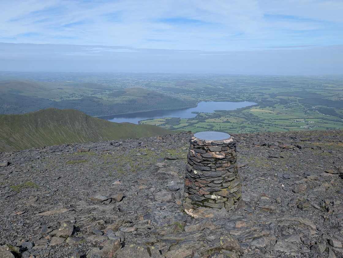 Too windy for the topsSkiddaw via Ullock Pike and Dodd12.4 km~1081 m~4–5.5 hHardA grand horseshoe of the northern Skiddaw group from the forest at Dodd Wood. The walk climbs the clean, shapely ridge over Ullock Pike and along airy Longside Edge to Long Side, then drops to the col by Carl Side before the stiff, loose scree pull onto Skiddaw itself — and one of the great Lakeland summit views, out across the Solway Firth to Scotland. The return crosses back over Carl Side and takes a careful, GPS-checked line down to the wooded little top of Dodd before the drop home through the trees. Five Skiddaw-group Wainwrights — Ullock Pike, Long Side, Carl Side, Skiddaw and Dodd — on a satisfying, varied loop: clean ridge, real summit, quiet forest to finish.
- Too windy for the topsCaudale Moor & St Raven's Edge13 km~724 m~3.5–5 hHartsop Dodd, Stony Cove Pike and the Caudale Moor tops — four summits in 13 km with 724 m of climbing, and one stage averaging 35%, which ties the steepest on the site. Hard for navigation and exposure; about 3.8 hours.
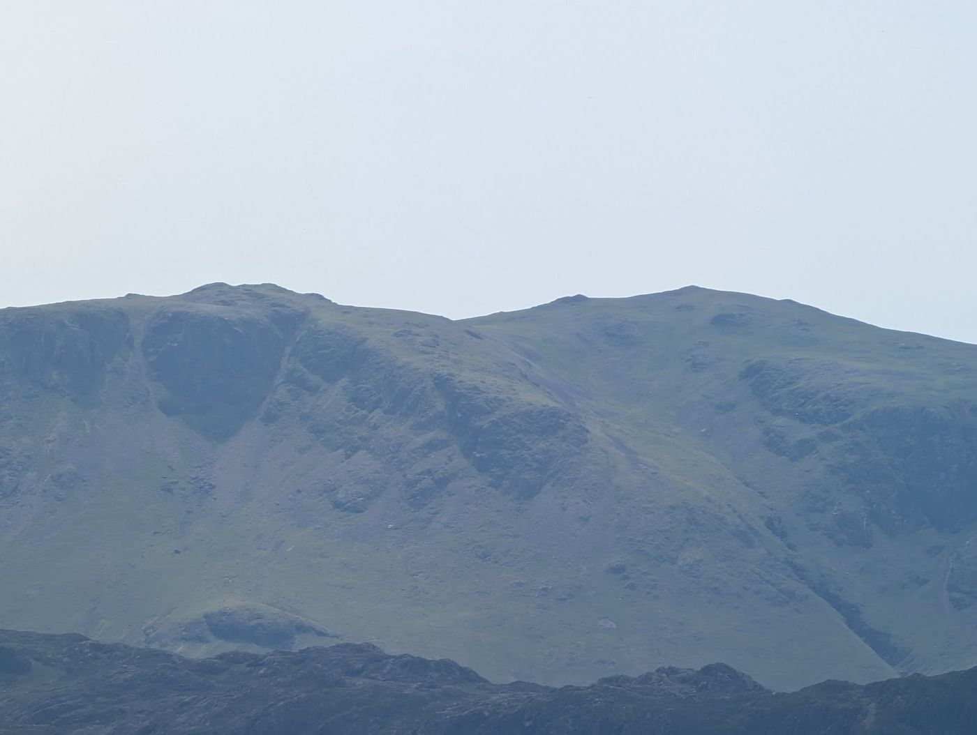 Too windy for the topsHigh Stile, Seat via Buttermere13 km~836 m~4–5.5 hFive tops along the High Stile ridge with Buttermere below you the whole way. 836 m of ascent in 13 km, and a stage averaging 20% to gain the ridge in the first place. Exposure is rated hard where the crags drop straight to the lake. Roughly 4 hours.
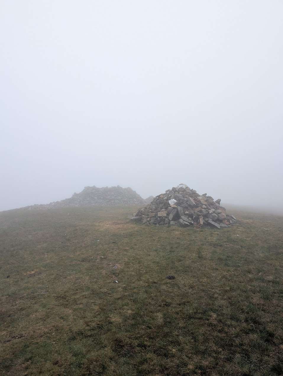 Summit likely clagged inGrike, Crag Fell and Lank Rigg13.1 km~618 m~3.5–5 hFour quiet tops in the far western fells — Grike, Crag Fell, Whoap and Lank Rigg — on a clear line throughout with no mapped crags beside it. Rough grass and big skies, and you will likely have it to yourself.
 Too windy for the topsNorth of Skiddaw13.2 km~707 m~3.5–5 hEight tops in the quiet grassy country north of Skiddaw — Longlands Fell, Brae Fell, the two Sca Fells, Meal Fell and Great Cockup among them. Gentle underfoot and rarely busy, but nearly a fifth of the line is featureless ground where a compass earns its keep.
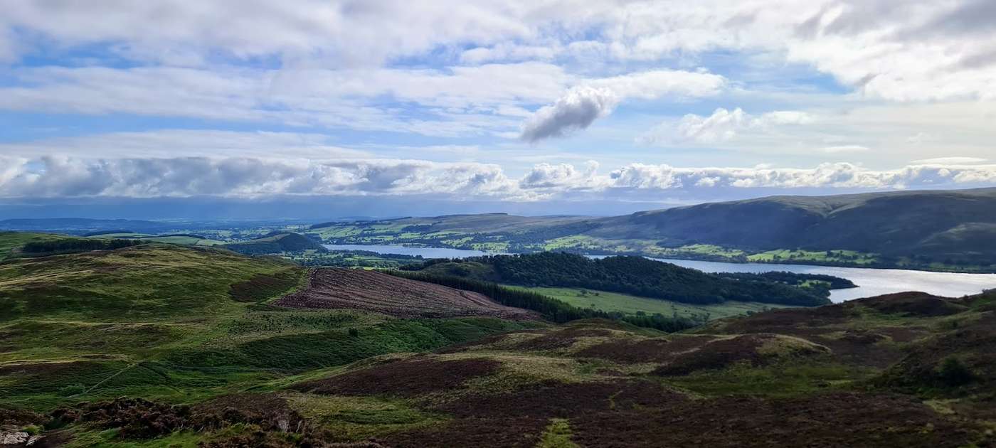 Summit likely clagged inSwineside Knott & Gowbarrow13.3 km~649 m~3.5–5 hModerateA satisfying loop over the heather tops of Gowbarrow above Ullswater, starting from the busy Aira Force car park — but climbing quickly away from the waterfall crowds onto quiet, rolling moorland that most of them never reach. The round takes in Brown Hills, Swineside Knott and Common Fell before the open summit of Gowbarrow Fell, a Wainwright with one of the finest views over Ullswater, which stays with you for much of the way. Moderate, with one steep early pull — save it for a clear day and let the lake do the rest.
- Too windy for the topsThe Buttermere Ridge13.4 km~975 m~4–5.5 hOne of the finest ridge walks in the Lakes — Seat, High Crag, High Stile and Red Pike strung above Buttermere, with plunging drops into Ennerdale on one side and the lake on the other. Earned by the loose, relentless grind of Gamlin End and paid for again on the red scree chute off Red Pike: 13.4 km, 975 m of climbing, and severe for steepness.
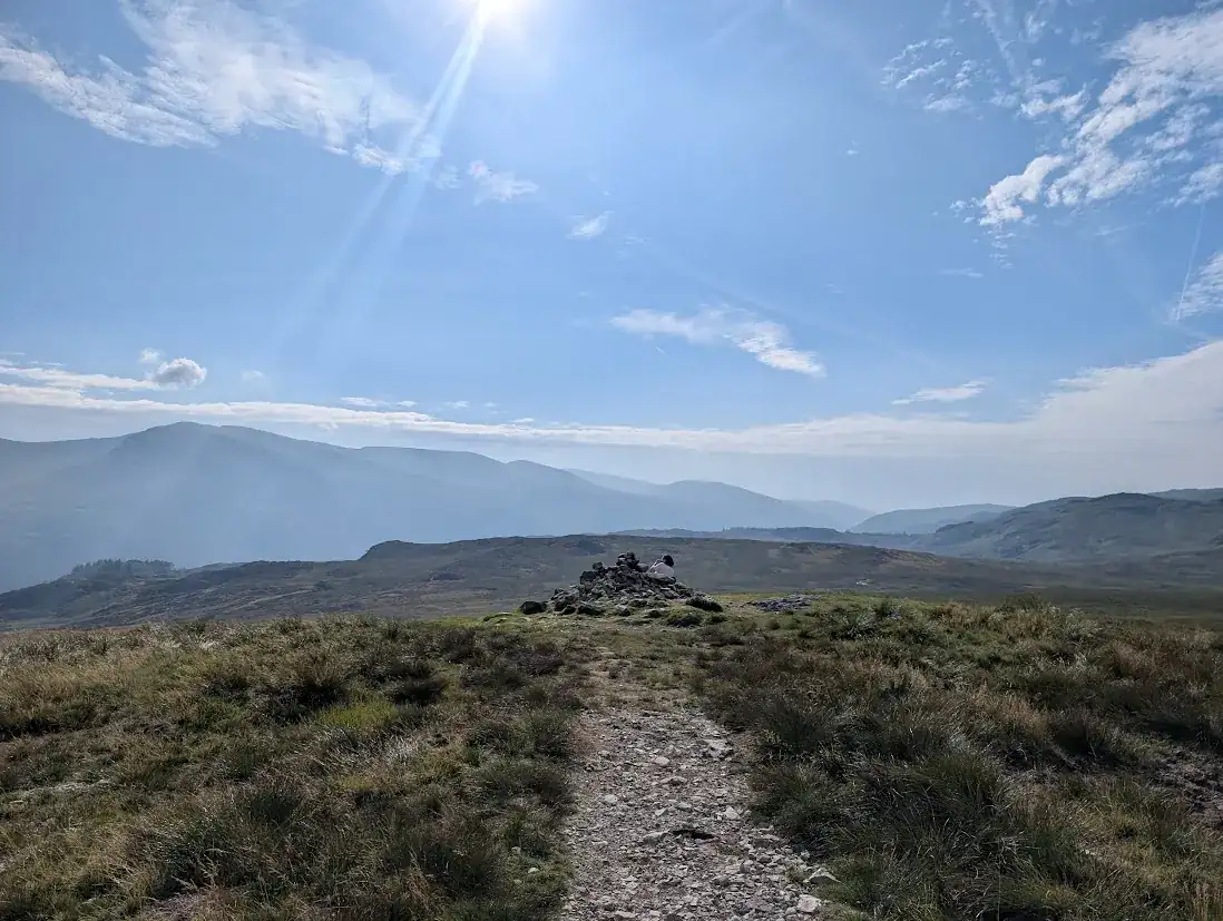 Summit likely clagged inBrown Rigg & Blea Tarn13.5 km~481 m~3.5–4.5 hFour tops on the boggy watershed above Thirlmere — Brown Rigg, Shivery Knott, Middle Crag and High Tove — in 13.5 km with 481 m of climbing. Rated hard to navigate, which is the whole character of this ground. About 3.5 hours.
 Too windy for the topsWhinlatter Loop13.6 km~671 m~3.5–5 hA quiet north-western round above Whinlatter that opens with a brutal 32% climb onto Graystones. After that it is undulating grass and forest over Broom Fell, Lord's Seat and Barf — boggy in places, and Lord's Seat is marked by the remains of an old fence post rather than a cairn.
- Too windy for the topsStonesty Pike, Great Knott & Wrynose Fell13.6 km~1033 m~4–6 hFive tops on the rough ground between Wrynose and Cold Pike — 13.6 km and 1,033 m, severe for steepness and hard for both navigation and exposure. About 4.4 hours.
 Too windy for the topsMardale Ill Bell, High Street, The Knott, Rampsgill Head, High Raise and Kidsty Pike13.7 km~862 m~4–5.5 hSix far-eastern tops from Mardale Ill Bell over High Street to Rampsgill Head — 13.7 km and 862 m. Rated hard for terrain, navigation and exposure together, which few routes here manage. About 4.2 hours.
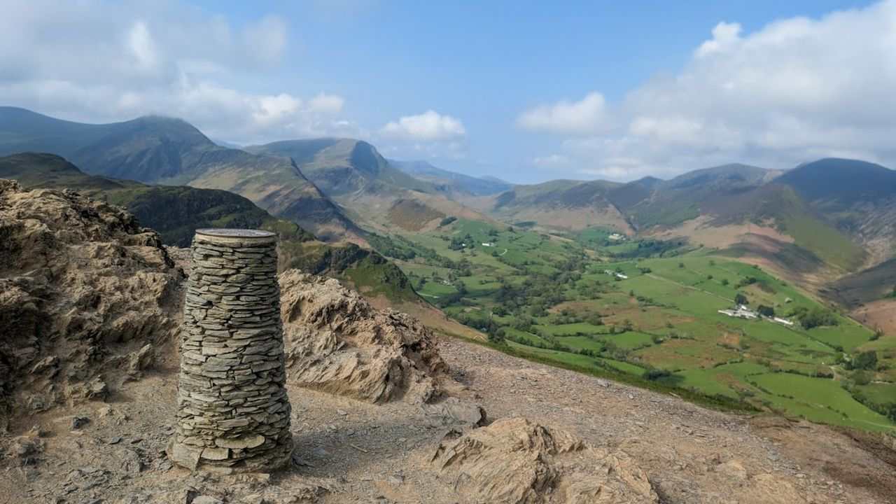 Too windy for the topsCatbells, Maiden Moor & High Spy13.8 km~824 m~4–5.5 hEasyA lovely, accessible ridge walk above the western shore of Derwentwater, and a great introduction to the fells. From Hawes End it climbs the shapely little peak of Catbells, then follows the airy but easy ridge south over Maiden Moor to High Spy, with Derwentwater and the Newlands valley spread out below. There are a few easy scrambly steps on Catbells that some guides don't mention, but nothing most people can't manage. A modest, rewarding day with some of the best views in the northern Lakes for the effort.
- Birketts North of Thirlmere13.8 km~910 m~4–5.5 hCastle Rock, Wren Crag and the High Rigg tops above Thirlmere — six summits in 13.8 km with 910 m of climbing, and one stage averaging 28%, the steepest in this group. Hard for exposure; about 4.3 hours.
- Too windy for the topsBlake Fell, Gavel Fell, Hen Comb14 km~732 m~4–5.5 hFive quiet tops behind Loweswater — Burnbank Fell, Blake Fell, Gavel Fell, Hen Comb and Little Dodd — in 14 km with 732 m of climbing and nothing steeper than about 10% on average. Hard for length, steepness and navigation alike; about 4 hours steady.
 Too windy for the topsCastle Crag, Brund Fell & Great Crag14.1 km~795 m~4–5.5 hBorrowdale's small rough summits in one round — Castle Crag, King's How, Brund Fell and Great Crag. Nothing higher than 440 m, but with 58 path junctions near the line and four mapped crag features, it is a surprisingly easy day to wander off.
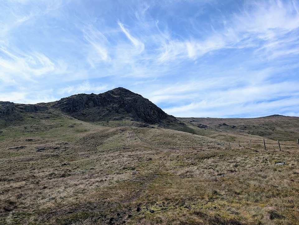 Summit likely clagged inStanding Crag, High Tove, Armboth14.3 km~545 m~3.5–5 hSix tops on the wet watershed between Thirlmere and Borrowdale — Standing Crag, Shivery Knott, Middle Crag, High Tove and Armboth Fell. 14.3 km and 545 m, rated hard for length, steepness and navigation. About 3.8 hours.
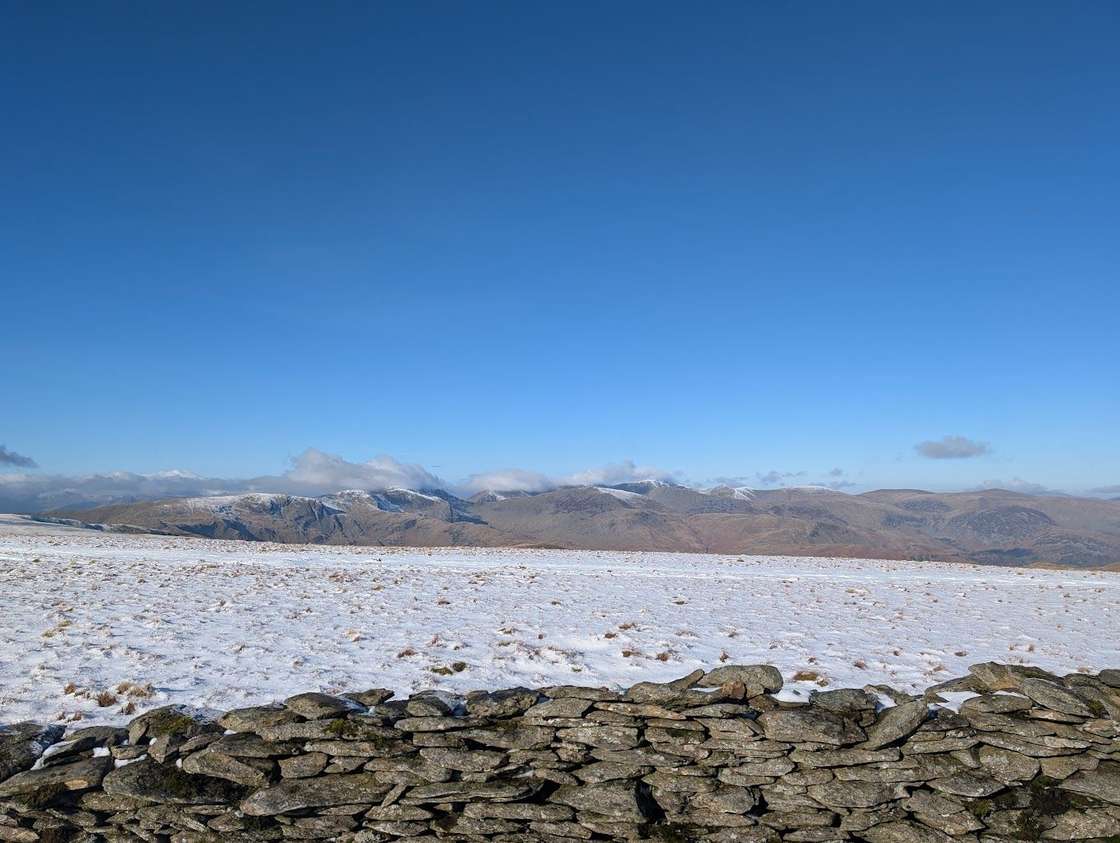 Too windy for the topsFusedale Circuit14.7 km~856 m~4–6 hA quiet ~15 km circuit of the Far Eastern fells from Howtown on Ullswater — Hallin Fell, Steel Knotts, Wether Hill, Loadpot Hill, Arthur's Pike and Bonscale Pike — broad grassy tops with grandstand views over the lake. A fine Steamer-and-walk outing.
- Too windy for the topsSeathwaite, Green Gable, Base Brown14.8 km~938 m~4.5–6 hBoth Seathwaite Fell tops with Green Gable and Base Brown — four summits in 14.8 km and 938 m, rated hard for terrain, navigation and exposure and severe for steepness. About 4.5 hours on properly rough ground.
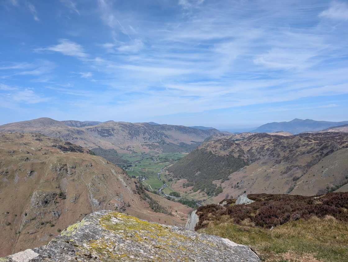 Too windy for the topsUllscarf, Eagle Crag & Sergeant's Crag14.8 km~720 m~4–5.5 hA rugged ~15 km round from Stonethwaite over three Wainwrights — the bold rocky nose of Eagle Crag, neighbouring Sergeant's Crag, and the broad whaleback of Ullscarf — returning down the quiet head of Borrowdale.
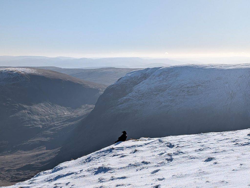 Too windy for the topsMardale Horseshoe15.3 km~900 m~4.5–6 hSeven tops around the head of Mardale, from Kidsty Pike over High Street to Harter Fell and back down to Haweswater. The going is easy underfoot and the tops are flat — but there is almost no shelter up there beyond a single stone wall.
- Too windy for the topsBirketts by Carrock Fell15.3 km~668 m~4–5.5 hEight tops on the northern fells from Carrock Fell over Round Knott, Miton Hill and Great Lingy Hill — 15.3 km and 668 m, with one stage averaging 16%. Hard for navigation and exposure both: open ground with few landmarks. About 4.2 hours.
 Too windy for the topsWest of Grasmere15.4 km~806 m~4–6 hSix tops on the rough ground west of Grasmere — Tarn Crag, Codale Head, Sergeant Man, Blea Rigg and Swinescar Pike — in 15.4 km with 806 m of climbing. Hard for length and steepness; about 4.4 hours.
 Too windy for the topsGlenridding Dodd, Sheffield Pike, Catstye Cam, Birkhouse Moor15.6 km~1209 m~5–7 hA hard round above Glenridding by every measure the site records — 1,209 m of ascent in 15.6 km. A steep pull straight out of the valley leads over Glenridding Dodd and Sheffield Pike, then the notoriously wet ground at Nick Head, the fine cone of Catstye Cam, and a long 554 m descent that tells on tired knees.
- Too windy for the topsHelvellyn & Nethermost Pike via Seat Sandal15.7 km~1121 m~5–6.5 hHelvellyn the steep way — 728 m of climbing inside the first 3.5 km at 21% average, before the ridge eases over Nethermost Pike and Dollywaggon Pike and comes back over Seat Sandal. At 1,121 m of ascent it is the biggest day of this group.
 Too windy for the topsHigh Snockrigg, Eel Crag & Lad Hows15.7 km~1399 m~5.5–7.5 hA big north-western day — seven tops from High Snockrigg over Whiteless Pike to Crag Hill, 15.7 km and 1,399 m, with one stage averaging 22%. About 5.5 hours.
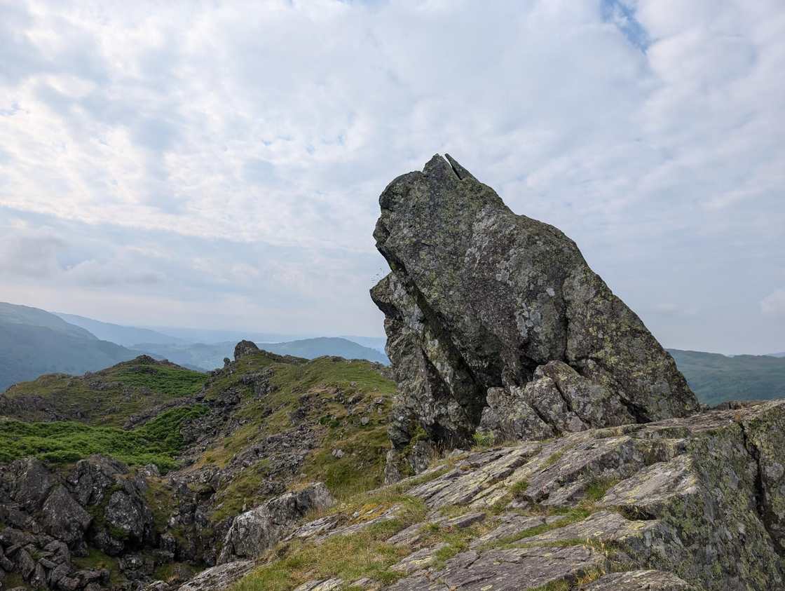 Too windy for the topsHelm Crag & Far Easedale15.9 km~850 m~4.5–6 hThe full skyline of Far Easedale from Grasmere — Helm Crag's rocky top first, then Gibson Knott, Calf Crag and Steel Fell around the rim of the valley. A long day at 15.9 km, and the head of Easedale can be vague in cloud.
- Ulpha Birketts15.9 km~719 m~4–6 hFive tops on the quiet Duddon fells — The Pike, Hesk Fell, Yoadcastle, White Pike and Stainton Pike — in 15.9 km with 719 m of climbing. Hard for length, steepness and navigation; about 4.4 hours.
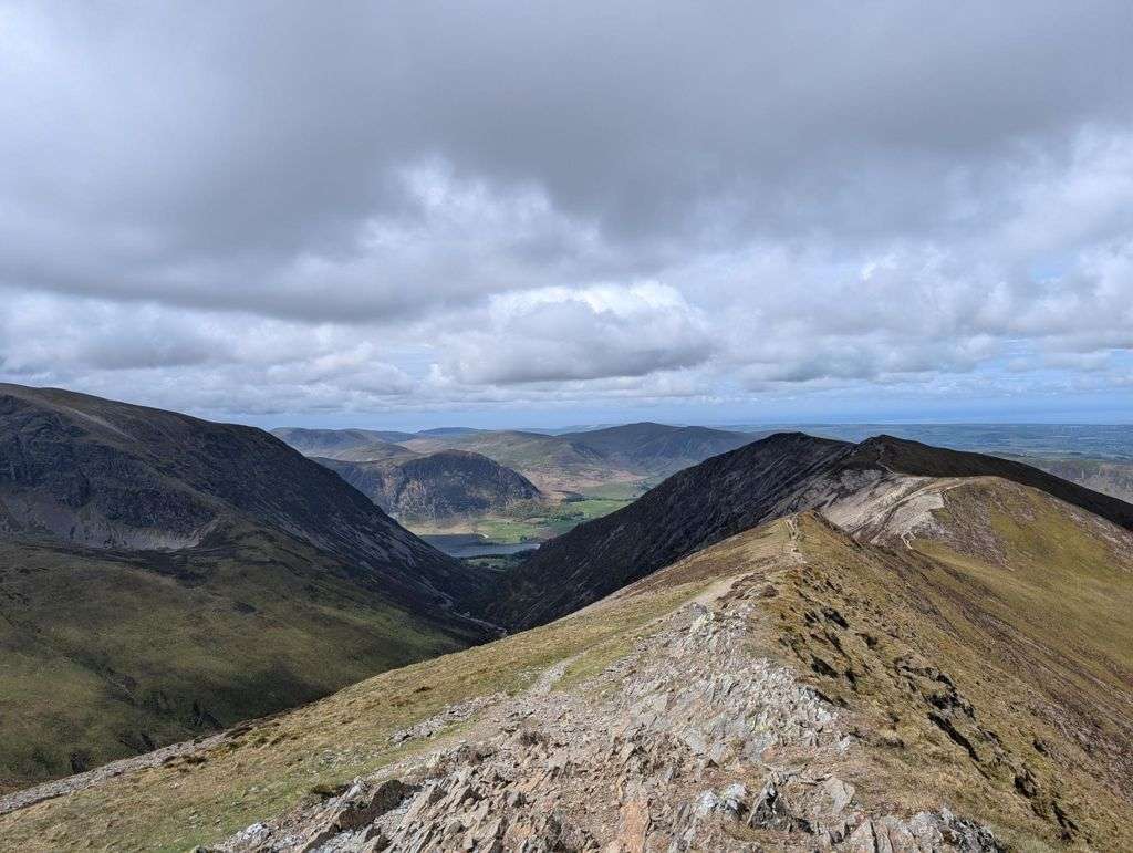 Too windy for the topsColedale Round16 km~1108 m~5–7 hHardOne of the great north-western horseshoes, and a properly big mountain day from Braithwaite. From the little car park tucked behind the trees on the Whinlatter Pass road — or straight off the bus — a steady wake-up climb leads up over Kinn and Sleet How before Grisedale Pike shows its hand: a steep, craggy pull the map never quite warns you about, with hands needed on rock near the top. From its rocky summit the round opens out — the airy ridge over Hobcarton Crag to Hopegill Head's tiny, wind-blown perch, the broad sweep to Crag Hill and Sail, then a long, satisfying horseshoe back over the quieter tops of Outerside, Stile End and Barrow. Six Wainwrights, a handful of Birkett tops, and some of the best ridge-walking in the Lakes for the effort.
 Too windy for the topsThe Grasmoor round: Whiteside, Hopegill Head and Whiteless Pike16.2 km~1068 m~5–6.5 hHardTen tops and the finest ridge walking in the North Western Fells — up Whiteside, along the narrow crest of Gasgale Crags to Hopegill Head, over the great whaleback of Grasmoor, then out along Wandope and down the elegant cone of Whiteless Pike to Rannerdale. Sixteen kilometres, a thousand metres of climbing, and views over Crummock Water all the way round.
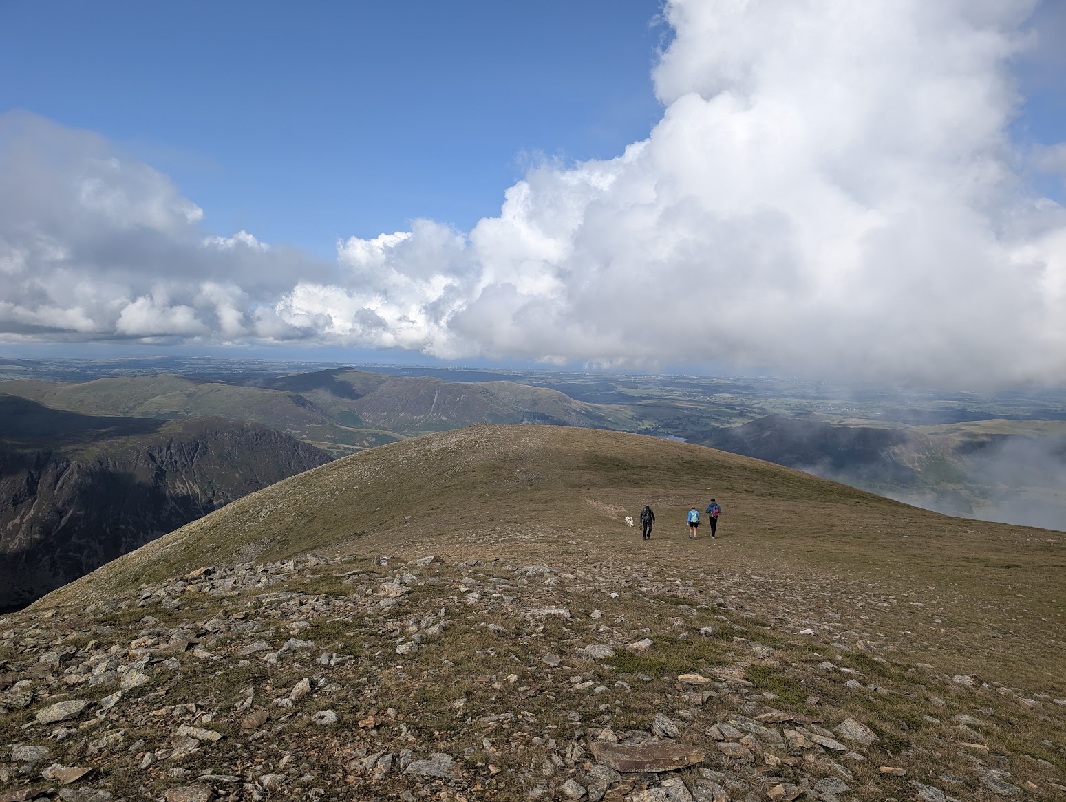 Too windy for the topsThe Grasmoor Round16.2 km~1197 m~5–7 hOne of the hardest starts in the Lakes — a gruelling 26% climb over loose scree onto Whiteside — followed by superb high ridge walking over Hopegill Head and Grasmoor. There is mild Grade 1 scrambling near the top, a broad plateau that disorients in fog, and a narrow descent along Whiteless Edge.
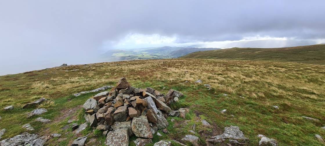 Too windy for the topsBirketts above Ullswater16.5 km~694 m~4–6 hTen Birkett tops strung along the Dodds above Ullswater, from Low How and Randerside over Great Dodd and Stybarrow Dodd — 16.4 km and 694 m across eleven stages. Rated hard to navigate and easy for exposure; about 4.4 hours.
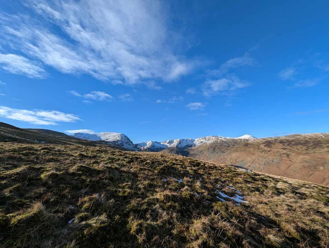 Too windy for the topsExtended Mosedale Horseshoe16.6 km~1303 m~5.5–7.5 hPillar, Scoat Fell, Steeple and Red Pike around the head of Mosedale, with Yewbarrow to finish — 1,303 m of ascent packed into 16.6 km, rated severe for steepness and hard for exposure. About 5.5 hours steady. It also goes by bus: the Wasdale Explorer works for this round if you turn for home at Yewbarrow by 16:58.
- Too windy for the topsCarrock Fell and Knott16.6 km~718 m~4.5–6 hFive northern tops from Carrock Fell over Miton Hill and High Pike to Knott — 16.6 km and 718 m, with one stage climbing at an average of 25%. Severe for steepness, hard for length, but only moderate to navigate. About 4.5 hours.
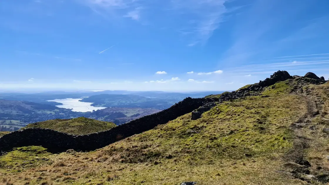 Too windy for the topsFairfield Horseshoe16.9 km~925 m~4.5–6.5 hModerateOne of the classic Lakeland rounds and a fine first big horseshoe. From the car park at Rydal it's a steady, moderate climb with only a minor amount of scrambling — my kids, then 7 and 10, managed it, though they found it a long day. You can easily start from Ambleside instead: stock up at the shops on the way out and finish at the Royal Oak for a well-earned pint. The full round takes in eight tops, with Fairfield's broad summit the high point and Windermere laid out behind you on the descent.
 Summit likely clagged inWalla Crag, Bleaberry Fell, High Seat, High Tove and Armboth Fell17 km~792 m~4.5–6.5 hThe long boggy ridge south from Keswick — five tops in 17 km with 792 m of climbing, hard for both length and steepness but easy for exposure. About 4.7 hours.
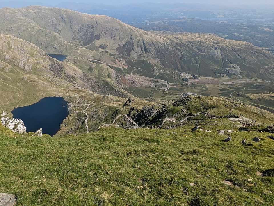 Too windy for the topsConiston Old Man Round17.4 km~1148 m~5–7 hModerateA satisfying round of the Coniston fells, and a simpler approach to the Old Man than my longer outing. From Coniston it climbs to the Old Man itself, then follows the high ridge over Brim Fell and Swirl How and back over Wetherlam, with Grey Friar an easy extra along the way. You can extend it further by adding Dow Crag. Big views over the southern fells and the sea, old copper-mine history underfoot, and a proper mountain feel without the biggest mileage.
 Too windy for the topsMardale circuit17.5 km~1099 m~5–7 hThe full circuit of the head of Haweswater — up the Rough Crag ridge to High Street, then Harter Fell, Branstree and Selside Pike around the far side. 17.5 km and 1,099 m, with eight mapped crag features near the line.
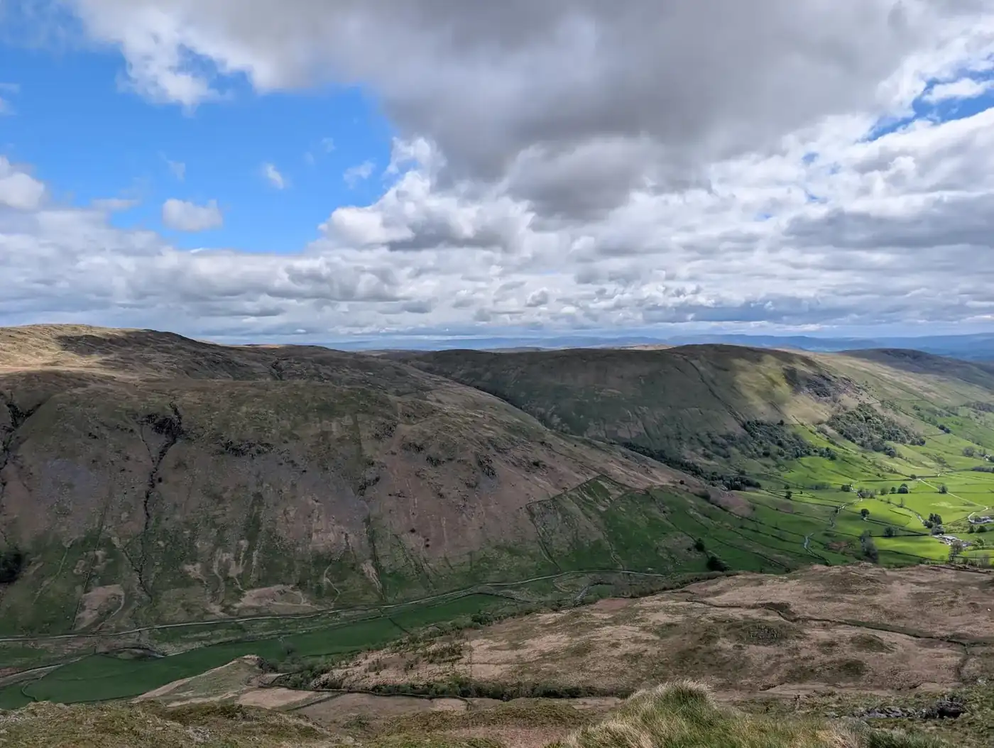 Too windy for the topsBirketts by Kentmere Horseshoe17.6 km~754 m~4.5–6.5 hNine lesser tops around the Kentmere valley — Cocklaw Fell, Hollow Moor and Green Quarter Fell among them — in 17.6 km with 754 m of climbing and nothing steeper than about 10%. Hard for length and navigation; about 4.8 hours.
 Summit likely clagged inBlencathra to Mungrisdale Common and over the back17.6 km~961 m~5–7 hBlencathra by its southern ridges — Scales Fell and Doddick Fell onto Hallsfell Top — then over the back for the quieter Bannerdale Crags and Bowscale Fell, taking in Mungrisdale Common on the way. Nine tops, 17.6 km and 961 m, rated severe for steepness but only moderate for navigation and exposure. About 5.1 hours steady.
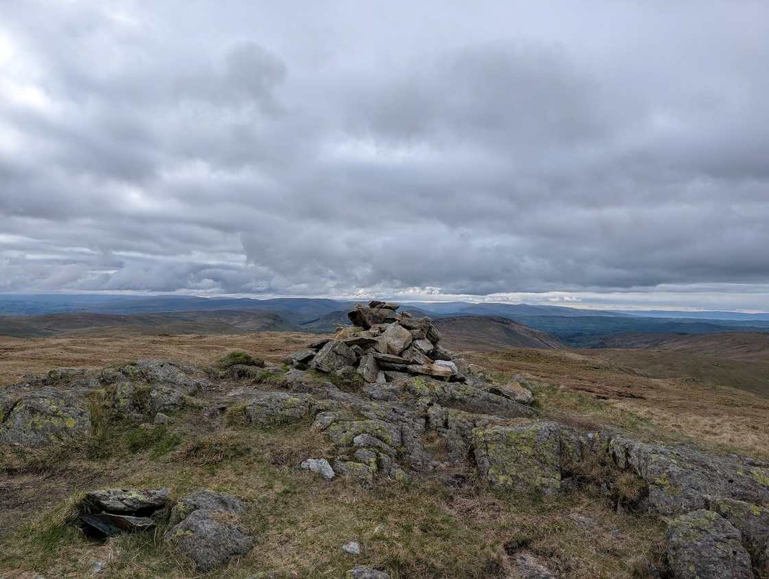 Too windy for the topsLongsleddale Round (Kentmere Pike, Tarn Crag, Grey Crag & Shipman Knotts)17.7 km~1043 m~5–7 hA long ~18 km round from Sadgill in quiet Longsleddale over five Wainwrights — Grey Crag, Tarn Crag, Kentmere Pike, Harter Fell and Shipman Knotts — across some of the loneliest, broadest grass tops in the Far Eastern fells. Real navigation in cloud.
- Too windy for the topsRossett Pike, Allen Crags, Great End and more17.7 km~1176 m~5.5–7.5 hA five-summit traverse of the high central ground, taking in Rossett Pike, Allen Crags, Great End, Esk Pike and Bowfell. The 1,176 m of ascent is spread over 17.7 km so no stage averages more than about 10%, but exposure is rated hard and the rock underfoot barely lets up. Around 5.5 hours.
- Too windy for the topsMiddle Fell, Haycock Seatallan and Buckbarrow17.8 km~1253 m~5.5–7.5 hSeven Wasdale tops in a 17.8 km round with 1,253 m of climbing and one stage averaging 24%. Hard for length, navigation and exposure, severe for steepness — about 5.6 hours on ground that stays rough throughout.
- Summit likely clagged inBirketts by Loweswater18.7 km~995 m~5–7 hNine tops above Loweswater, from High Pen and Knock Murton round by Carling Knott — 18.7 km and 995 m, with no stage averaging steeper than about 10%. Hard for length, steepness and navigation alike: about 5.4 hours.
- Summit likely clagged inAround Loweswater19.1 km~1019 m~5.5–7.5 hThe full circuit of the fells around Loweswater — six tops from Darling Fell round to Blake Fell, 19.1 km and 1,019 m, with no stage averaging steeper than about 8%. A long day rather than a hard one: roughly 5.5 hours steady.
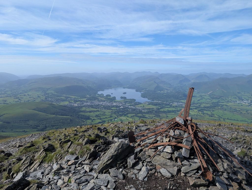 Too windy for the topsLonscale Fell, Skiddaw Lesser Man, Skiddaw and Bakestall in the sun!19.3 km~1116 m~5.5–7.5 hSkiddaw the long way, taking in Lonscale Fell and Bakestall — 19.2 km and 1,116 m, with a 22% lung-buster onto Lesser Man and loose slate underfoot high up. The plateau is fully exposed to the wind, and the round commits you to a 9.7 km walk out from Bakestall.
 Too windy for the topsBrock Crags, Angletarn Pikes, Beda Fell & Place Fell19.7 km~1070 m~5.5–7.5 hHardA big, varied Far Eastern round above Patterdale and the quiet Boredale and Bannerdale valleys — over Brock Crags to lovely Angle Tarn (one of the prettiest sheets of water in the Lakes), along the grassy whaleback of Beda Fell, and up characterful Place Fell for its superb view down Ullswater. Nearly 20 km and a proper day out, but rarely hard underfoot.
- Birketts by Dunnerdale Fells19.8 km~1036 m~5.5–7.5 hA big day on the Coniston side — Walna Scar, White Maiden, White Pike, Pikes and Caw, eight tops in 19.8 km with 1,036 m of climbing. Severe for steepness, hard for length and exposure; about 5.7 hours steady.
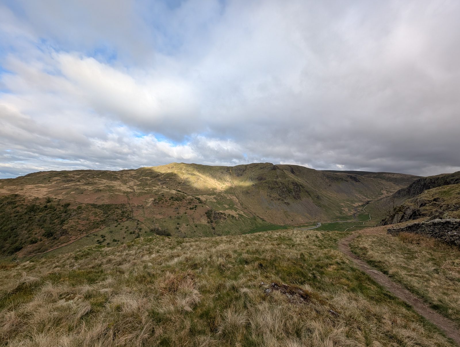 Too windy for the topsHarrop Pike & Ancrow Brow - Birketts20 km~601 m~5–6.5 hEight Birkett tops above Longsleddale in a 20 km round — only 601 m of ascent, which is modest for the distance, but one stage climbs 294 m in 1.2 km at around 24%, and the ground is rated hard for both navigation and exposure. About 5 hours steady.
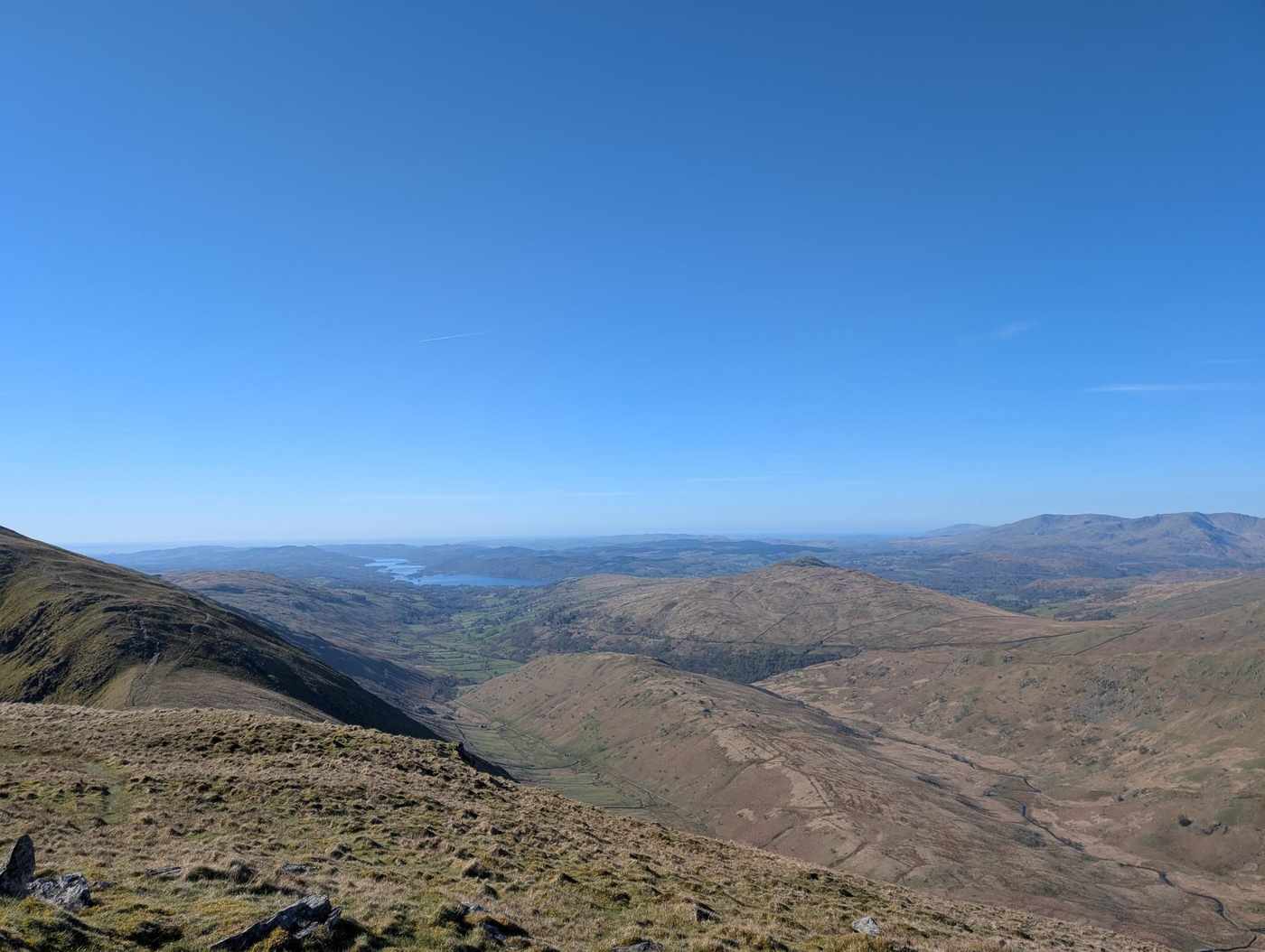 Too windy for the topsKentmere Horseshoe20.1 km~1029 m~5.5–7.5 hThe classic round of the Kentmere valley — a 20 km, ~1,030 m horseshoe over eight Wainwrights: up over Yoke and the shapely Ill Bell ridge to Thornthwaite Crag, then back over Mardale Ill Bell, Harter Fell, Kentmere Pike and Shipman Knotts. A long, high, broad-ridged day in the Far Eastern fells.
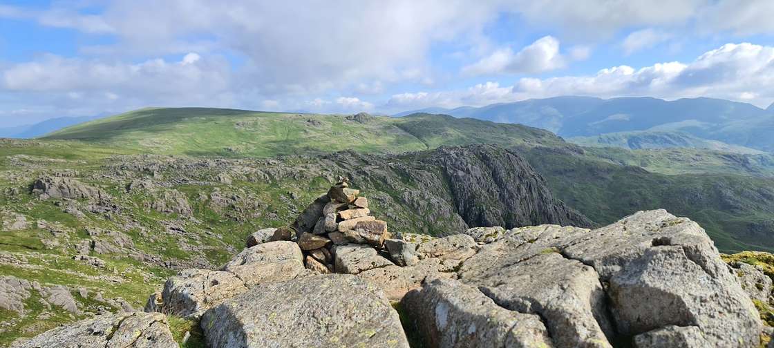 Too windy for the topsLangdale Horseshoe20.2 km~1497 m~6.5–8.5 hSevereThe full Langdale Horseshoe — fifteen tops, 1,500 m of ascent and one of the hardest days in the Lakes that involves no rope. The Langdale Pikes, Bowfell, the whole Crinkle Crags ridge and Pike of Blisco in a single round. It is long, rough, and the Crinkles will try to lead you down the wrong side. Do not start it late.
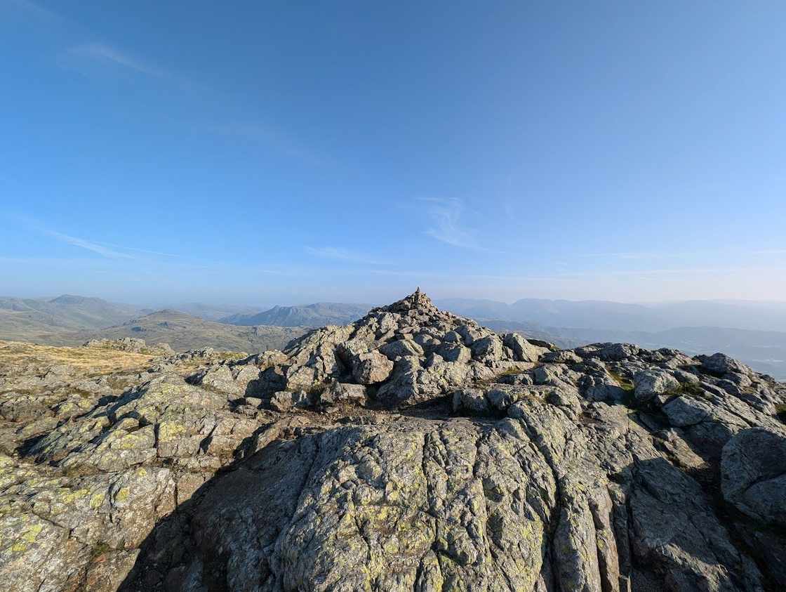 Too windy for the topsThe Coniston Horseshoe20.8 km~1279 m~6–8.5 hThe full Coniston Horseshoe — the grand ~21 km, ~1,280 m round of seven Wainwrights above Coniston: Wetherlam, the steep Prison Band onto Swirl How, Great Carrs, Grey Friar, Brim Fell, the Old Man of Coniston and Dow Crag. The big day out; for the shorter version see the [Coniston Old Man round](/routes/coniston-old-man-round.html).
 Too windy for the topsHelm Crag, Gibson Knott, Calf Crag, Steel Fell and Tarn Crag20.8 km~910 m~5.5–7.5 hThe full Far Easedale horseshoe from Grasmere, and a longer, wetter day than Helm Crag alone suggests. The true summit — the Howitzer — needs an exposed scramble, and beyond Gibson Knott the ground turns to peat hags and bog that stay wet in all seasons, with Brownrigg Moss the hardest crossing of the day.
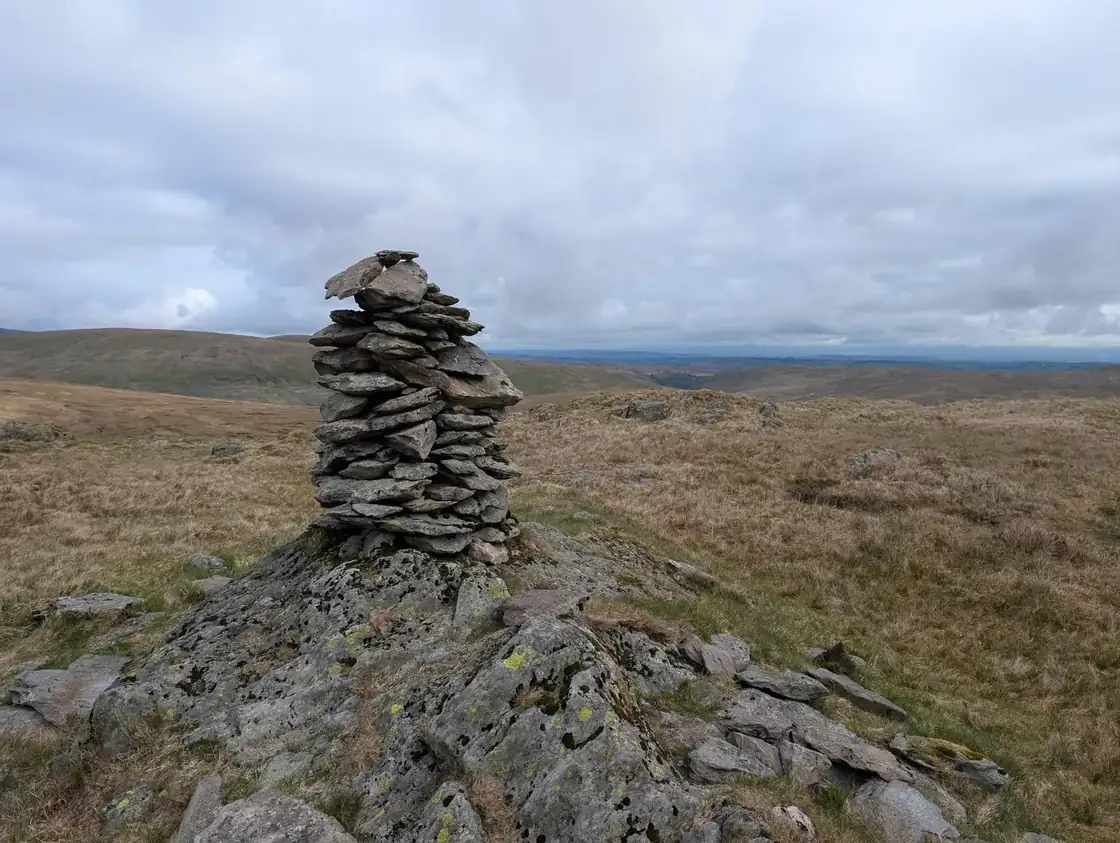 Crookdale Birketts21 km~635 m~5–7 hNine tops around Crookdale on the Shap fells — Robin Hood, Harrop Pike, Wasdale Pike and Sleddale Pike among them — in 20.9 km with 635 m of climbing and nothing steeper than about 6%. Severe for length, easy for exposure; about 5.2 hours.
- Summit likely clagged inCarrock Fell High Pike, Knott and Great Calva21 km~826 m~5.5–7.5 hNine tops on the northern fells in a 21 km round with 826 m of climbing, linking Carrock Fell, High Pike, Knott and Great Calva. One stage pulls 432 m up in 1.7 km, averaging 25%, and the open ground is rated hard for both navigation and exposure. About 5.6 hours steady.
- Borrowdale Birketts21.2 km~820 m~5.5–7.5 hSeven tops in the eastern Borrowdale — the one near Shap, not the Lakeland valley — from High House Bank and Robin Hood round to Lamb Pasture. 21.2 km and 820 m, with no stage steeper than about 6%. Severe for length; about 5.6 hours.
- Bannisdale Fell - Long Crag21.6 km~774 m~5.5–7.5 hA quiet Birkett round in Bannisdale, off to the east of the main fells — nine tops in 21.6 km with 774 m of climbing and no stage averaging steeper than about 11%. The difficulty here is navigation rather than gradient: it is rated hard to navigate and severe for its length. About 5.6 hours steady.
 Too windy for the topsAngletarn Pikes and the Martindale round22.2 km~1349 m~6.5–9 hHardA long, quiet circuit of the Far Eastern fells above Patterdale — over Rest Dodd and out to the remote peak of The Nab, then back across Brock Crags to the twin tops of Angletarn Pikes, and home over Beda Fell and Place Fell. Twenty-two kilometres and six summits in some of the emptiest country in the National Park.
 Too windy for the topsLong Hike to Fairfield from Ambleside22.4 km~1350 m~6.5–9 hA big horseshoe day from Ambleside — 1,350 m of ascent in 22.4 km, opening with a relentless 738 m pull onto Red Screes. Fairfield's flat summit plateau is notoriously hard to navigate in cloud, and the day ends on the jarring stone steps down Nab Scar.
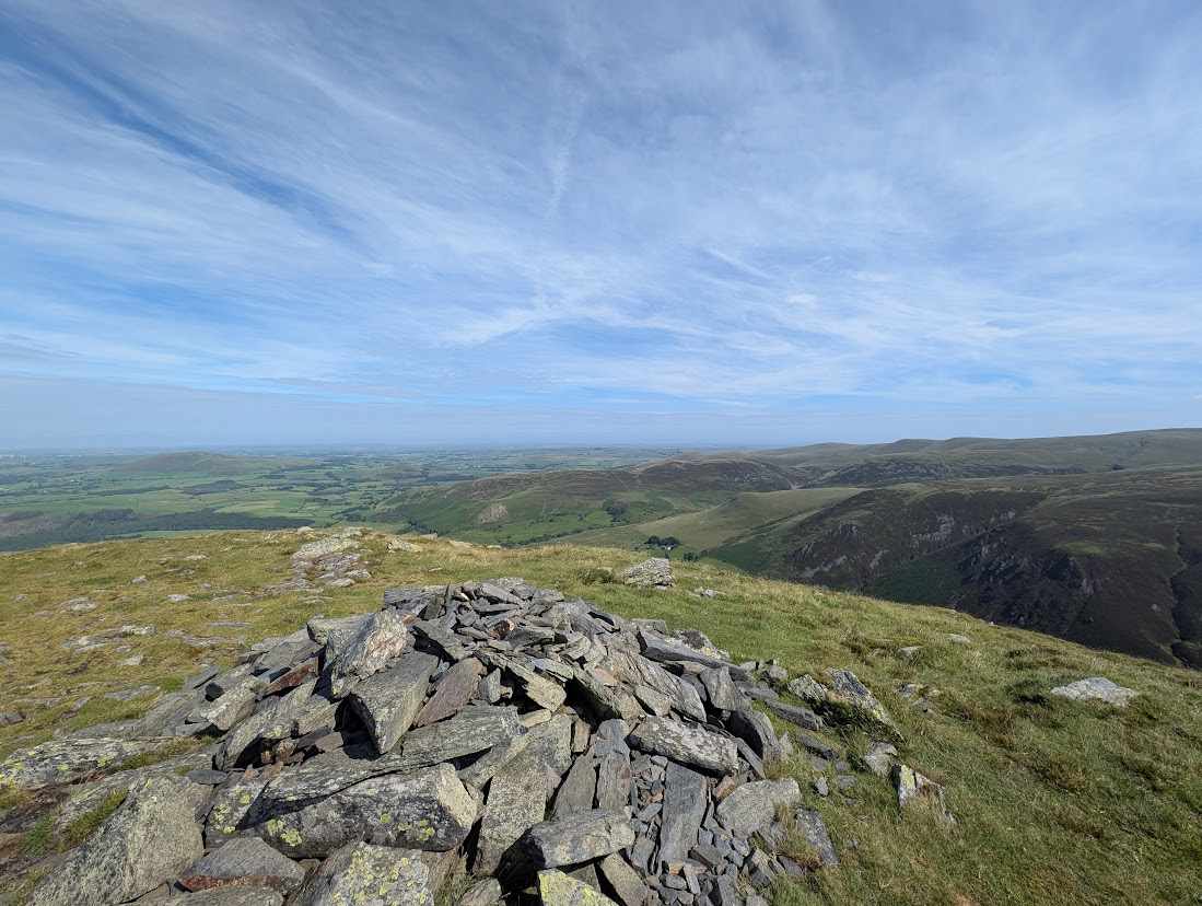 Too windy for the topsBirketts North of Skiddaw23 km~1434 m~7–9.5 hThe full northern sweep over Skiddaw itself — Bakestall, the Middle and South Tops, Sale How and more, nine tops in 23 km with 1,434 m of climbing. Severe for length; about 7 hours of steady walking and the biggest day in this group.
- Summit likely clagged inBirketts West of Thirlmere23.1 km~1047 m~6–8.5 hTen tops on the rough ground west of Thirlmere — Wythburn Fell, Standing Crag and the Coldbarrow Fell saddles among them — in 23.1 km with 1,047 m of climbing and nothing steeper than about 10%. Severe for length; roughly 6.4 hours.
- Too windy for the topsWest of Wet Sleddale - Birketts23.8 km~856 m~6–8 hNine tops on the empty Shap fells — Seat Robert, High Wether Howe, Nabs Moor, Selside Pike and Hare Shaw among them — in 23.8 km with 856 m of climbing. Severe for length; about 6.2 hours.
- Too windy for the topsBirketts West of Haweswater23.8 km~1235 m~6.5–9 hHigh Street, Rampsgill Head, High Raise and Low Raise on the far-eastern tops — eight summits in 23.8 km with 1,235 m of climbing. Severe for both length and steepness, hard for navigation and exposure: about 6.8 hours.
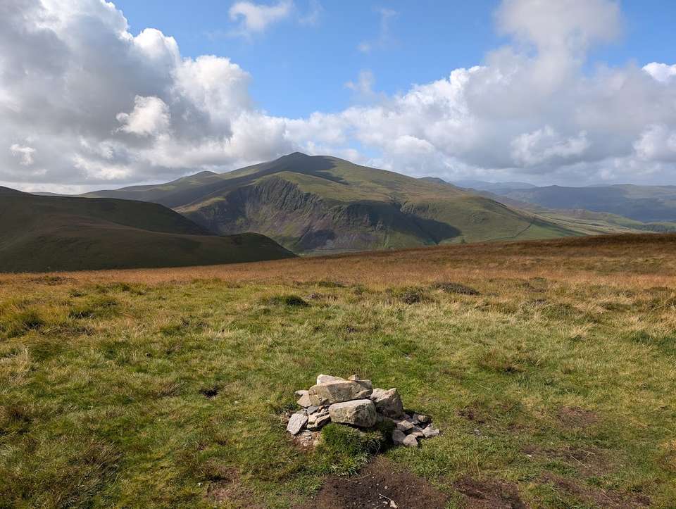 Too windy for the topsCockup at the White Hause and other Birketts23.9 km~1160 m~6.5–9 hA long round on the northern fells over Great Cockup, Great Sca Fell, Knott and Little Calva — 23.9 km and 1,160 m, with no stage averaging steeper than about 10%. The distance rather than the gradient is what makes it a full day: roughly 6.7 hours of steady walking.
 Too windy for the topsHart Side, Stybarrow Dodd, Raise, Watson's Dodd and more24.4 km~816 m~6–8 hA long day on the eastern Dodds — 24.4 km of rounded, grassy tops where the navigation, not the climbing, is the difficulty. Stybarrow Dodd and Great Dodd are vast featureless domes that need strict compass work in cloud, and the round finishes with a 6.4 km walk back along the Old Coach Road.
- Too windy for the topsVery Long Day Out26.8 km~1743 m~8–11 hThe Wasdale head round at its longest — 26.8 km and 1,743 m over twelve tops, from Yewbarrow out to Steeple, Haycock and Caw Fell and back over Seatallan and Middle Fell. One stage climbs 546 m in 2.1 km, averaging 26%, and the whole day is rated severe for both length and steepness: about 8.3 hours of steady walking.
 Too windy for the topsSour Howes, Sallows, Yoke, Ill Bell, Froswick and Troutbeck Tongue in the sun!27.6 km~1395 m~7.5–10.5 hThe longest day in this group — 27.6 km and 1,395 m over six tops of the Kentmere and Troutbeck skyline, with nothing averaging steeper than about 9%. Severe for length, hard for terrain and exposure; about 7.8 hours.
Nothing matches those filters — .
Map
● routes
An interactive map of the route start points and the fells within about 5 km. Each marker links to its page; the same routes and fells are listed below.