Route card from https://hikes.guide/routes/the-greendale-horseshoe.html · as of 9 November 2026

The Greendale Horseshoe
Photo: © Lee McCoy
Start Greendale
Getting here Parking: Greendale (layby), 0.0 km from the start (straight line). Getting there ↓ · Route map ↓
Hardest part Severe steepness: Steepest sustained climb about 38% around the 3.6 km mark.
Before you choose
- Middle Fell: The Wast Water-facing side falls away in tiers of crag. Don't be tempted to drop straight off the ridge — descend by the established lines at the ends. In cloud keep to the ridge crest and well back from the eastern edge.
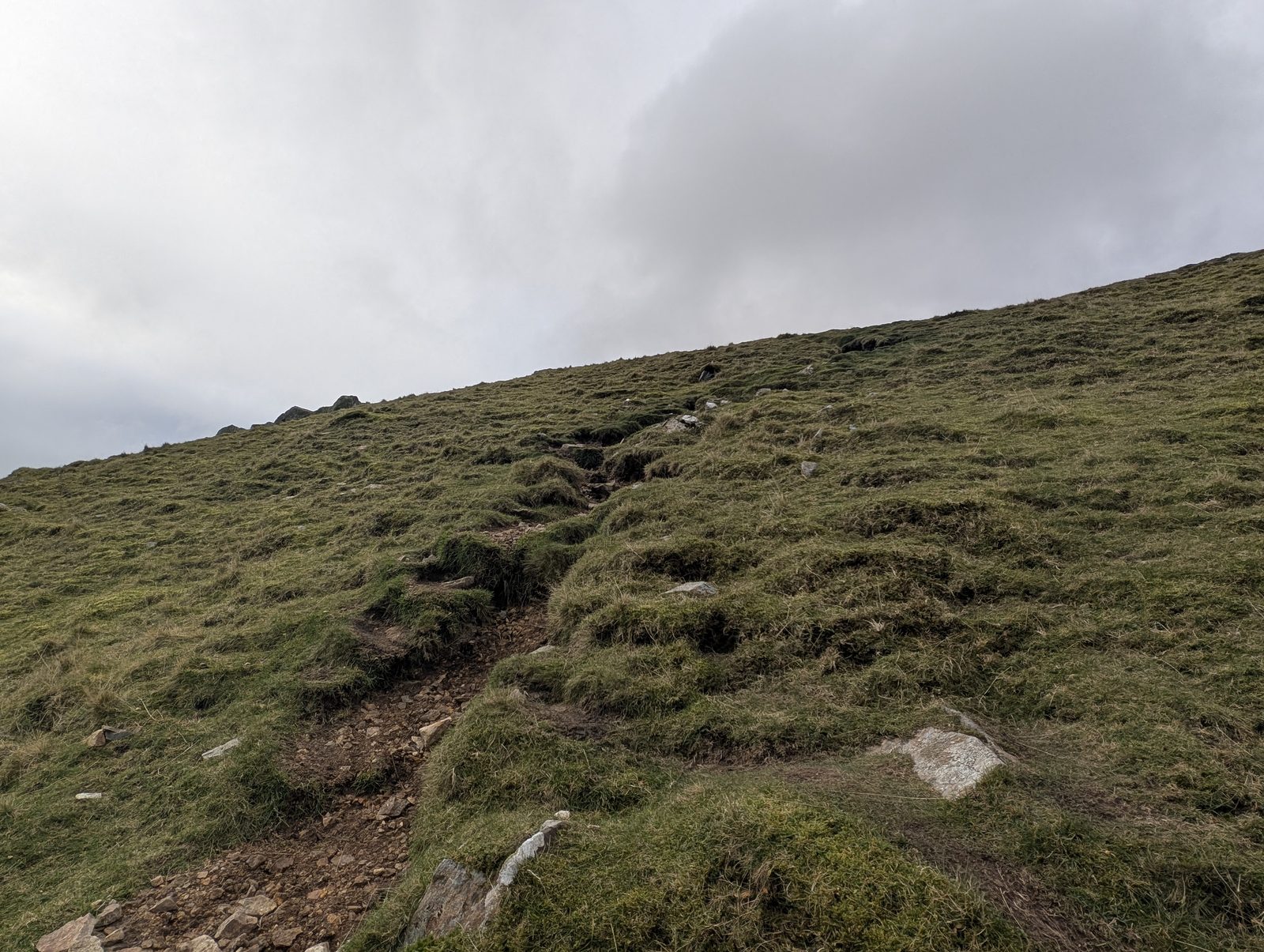
- Seatallan: The way up is not obvious from below and the path is faint and indistinct in places; the wide, flat summit gives little to navigate by. In cloud, take a compass bearing to find the top and to choose the right line down.
- OpenStreetMap marks a ford on the line at about 7.7 km, on the way down from Buckbarrow.
- OpenStreetMap maps crag edges within about 50 m of the line in several places: beside Middle Fell’s top (about 1.6–2.2 km), below Seatallan’s top (about 3.7 and 4.1 km), at Buckbarrow’s top (about 6.8 km) and on the way down to Greendale (about 7.8–8.1 km, the nearest about 10 m from the path).
- Buckbarrow: More than one path leaves the top. One heads south-south-west towards Pike Crag and, about 250 m from the top, comes to the edge of a big crag, a drop you may not see coming if you are not paying attention. We turned back there on 3 November 2026. This route leaves the top east-north-east; if you find yourself heading south off the top, stop and check.
Conditions on this route
We score every Lakeland Wainwright each morning on cloud, wind, rain and underfoot, and this route crosses 3 of them. The worst summit governs the verdict — a route is only as kind as its roughest top.
Modelled guidance — not a substitute for the mountain forecast or your own judgement. See how every fell ranks today →
Daylight & turnaround
Daylight is short from October to February — check today’s sunrise and sunset before you set off, and carry a head-torch and spare batteries. On short days, decide your turn-back time before you start.
See also walking in bad weather and today’s conditions.
Route map
Marked: what OpenStreetMap maps near the line. Unmarked ground is not clear ground.
- Crag edge near the line, about 1.6–2.2 km
- Crag edge near the line, about 3.7 km
- Crag edge near the line, about 4.1 km
- Crag edge near the line, about 6.8 km
- Ford on the line, about 7.7 km
- Crag edge near the line, about 7.8–8.1 km
1 Middle Fell2 Seatallan3 Glade How4 Buckbarrow
Easy 42%Moderate 31%Hard 26%Severe 2%
Heights on this chart and its high point are read from the track itself (a terrain model sampled along the line, or a GPS recording), so a top can differ from its listed height, usually reading lower.
Free mapping: OpenTopoMap / OpenStreetMap, with SRTM elevation data (switch layers top-right).
The elevation profile is under the map; the stage notes follow.
The walk, stage by stage
- 1
Greendale → Middle Fell (2.1 km, 510 m)
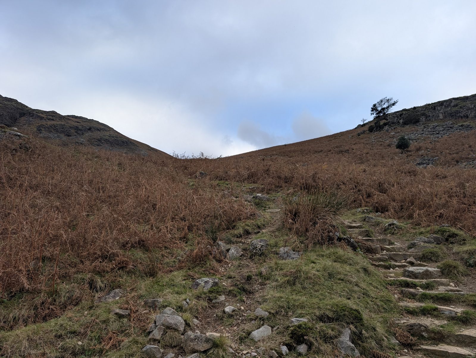
From the road at Greendale, take the public footpath north up the fellside, through bracken and up stone steps low down, with Greendale Gill a short way to the west. At about 0.6 km the mapped public footpath gives way to a mountain path that OpenStreetMap does not record as a right of way: follow it north, then north-east and north-north-east up Middle Fell's south ridge to the summit at about 2.1 km. It is a steep start, about 510 m of climbing in 2.1 km.
WaypointsThe road at Greendale, the public footpath, Greendale Gill (to the west, low down), Middle Fell's summit (582 m).
Easy to get wrongOpenStreetMap maps crag edges close to the path near the top, the nearest about 20 m to the south-east of it at about 1.8 km.
If you need to get offThe map shows the line on the road at Greendale only at the start, then on the public footpath and a mountain path up Middle Fell's south ridge to the top; no mapped path from it reaches a road sooner than going back, so the way off is back down the way you came to the road at Greendale, never more than about 2.1 km.
© Lee McCoy - 2
Middle Fell → Seatallan (1.9 km, 262 m)
From the summit, follow the path north down the ridge and then north-north-west to the col between the two fells at about 3.1 km, passing well above Greendale Tarn, which lies about 240 m to the south-west at about 2.7 km. From the col the path climbs west-north-west up Seatallan's east side, the steepest climb of the walk (about 38% sustained near 3.6 km), to the top at about 4.0 km.
WaypointsMiddle Fell's summit, the ridge path, Greendale Tarn (below, to the south-west), the col, Seatallan's summit (693 m), with its trig point beside the path.
If you need to get offThe map shows no usable way off between Middle Fell and Seatallan: paths leave the line at the col, at about 3.0 and 3.2 km, and lead down Greendale past Greendale Tarn, but they pass mapped scree and bare rock. So the way off is back over Middle Fell, a climb of about 110 m from the col, and down the way you came; or on over Glade How and Buckbarrow and down the walk's own line to Greendale; up to about 4 km from Seatallan's top. The walk's descent from Buckbarrow is from the map, not walked for this guide.
© Lee McCoy - 3
Seatallan → Glade How (2.4 km, 8 m)
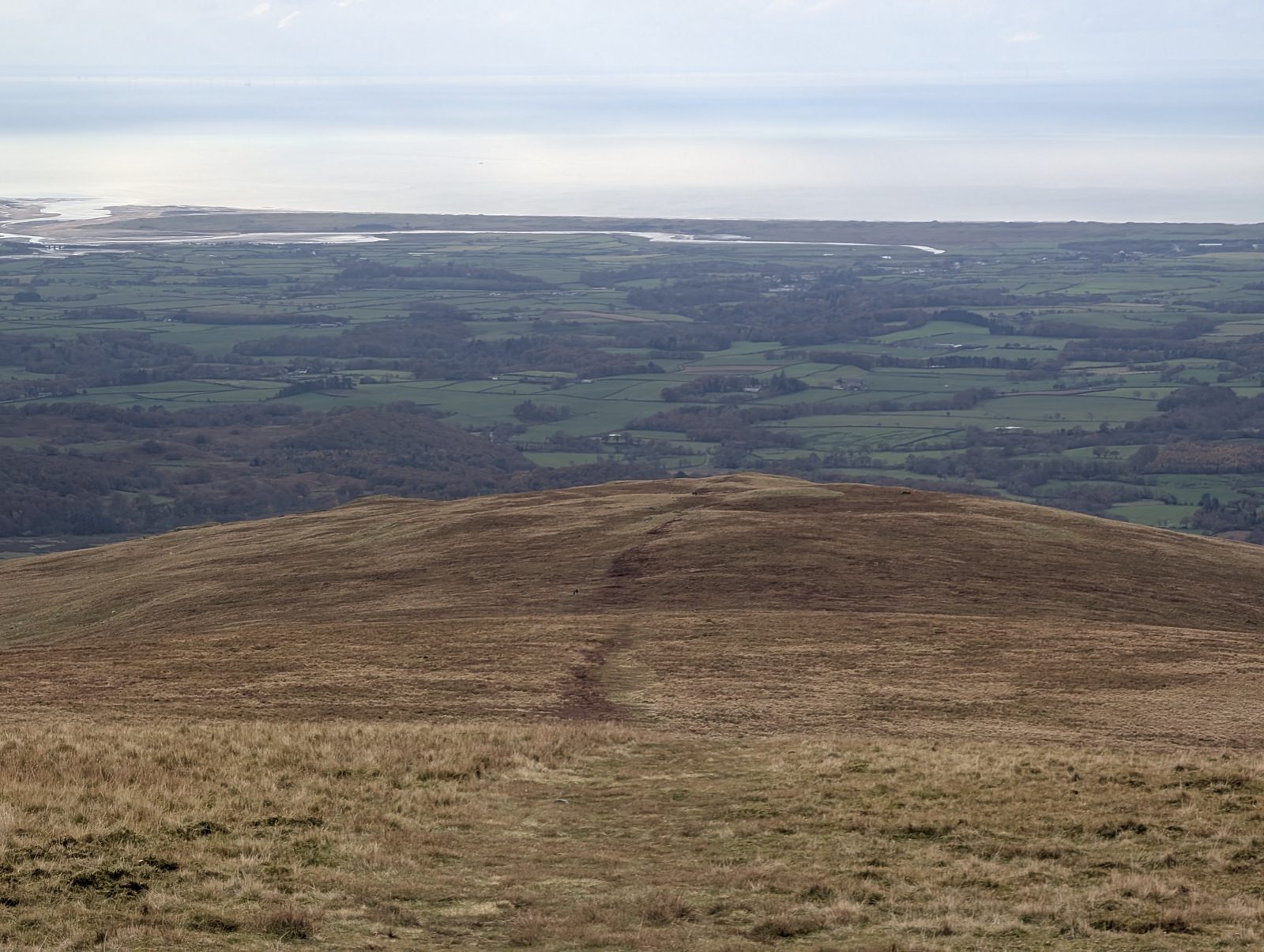
From Seatallan's top, the path turns south-south-west down the broad south ridge, then south-west, to a cairn on the path at about 5.75 km. There the line bends left and runs south-south-east down to Glade How's top at about 6.4 km.
WaypointsSeatallan's summit, the south ridge, the mapped cairn at about 5.75 km, Glade How (440 m).
Decision pointThe line bends at the cairn near 5.75 km, from heading south-west to heading south-east. Near the top, at about 4.1 and 4.2 km, and again at about 4.75 km, paths leave the ridge towards Greendale; keep on down the ridge.
If you need to get offThe map shows no usable way off the south ridge between Seatallan and Glade How: the mapped paths down from it, into Greendale from near Seatallan's top and to the valley road from just short of Glade How, pass mapped bare rock and scree. So the way off is back over Seatallan and Middle Fell the way you came, or on over Glade How and Buckbarrow and down the walk's own line to Greendale, up to about 4.2 km either way. The walk's descent from Buckbarrow is from the map, not walked for this guide.
© Lee McCoy - 4
Glade How → Buckbarrow (0.4 km, 3 m)
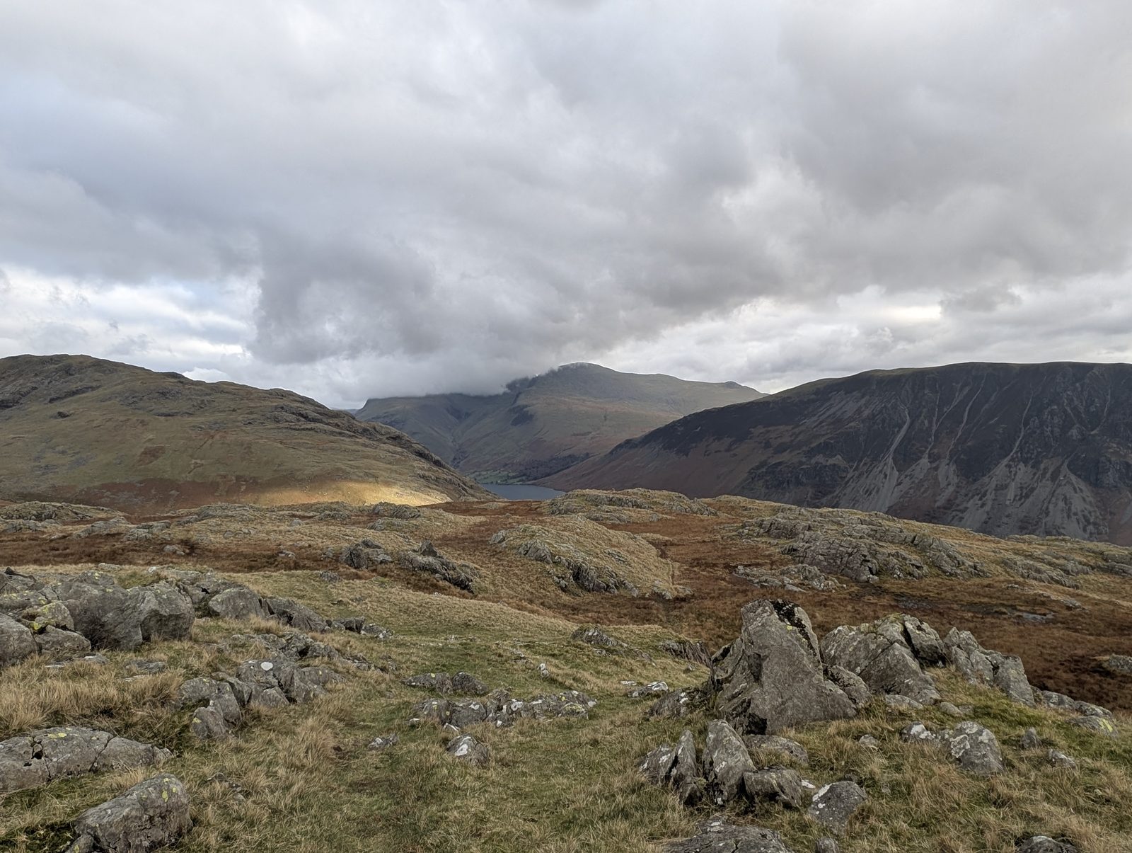
Carry on south-south-east on the path to Buckbarrow's top at about 6.8 km. The summit cairn is about 30 m off the path, towards the crags on the south side; come back to the path before you leave the top.
WaypointsGlade How, Buckbarrow's summit (423 m).
Easy to get wrongThe summit cairn is close to the edge of the southern crags. OpenStreetMap maps crag edges about 30 m from the line at about 6.8 km.
If you need to get offThe map shows no usable way off between Glade How and Buckbarrow shorter than going on: the paths south and west from Buckbarrow's top pass mapped crag, and one leads to the edge of the big crag in this route's warning. So the way off is on over Buckbarrow and down the walk's own line to Greendale, never by the path towards Pike Crag, never more than about 2 km. That descent is from the map, not walked for this guide.
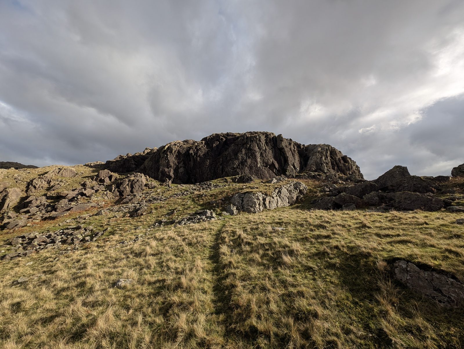
© Lee McCoy Buckbarrow → Finish (1.8 km, 5 m)
We have written these directions from the map, not on foot. From Buckbarrow's top the path heads east-north-east, then north-east, and starts to drop. At about 7.4 km it bends right and drops steeply, south-east and then south, down the fellside, across a ford OpenStreetMap marks at about 7.7 km and past crag edges it maps beside the path, the nearest about 10 m away at about 8.0 km, and on south to a footway that crosses Greendale Gill near 8.4 km. The last 0.1 km is on the road back to the start. This is the steepest descent of the walk, about 30% sustained around 7.5 km.
WaypointsBuckbarrow's summit, the path down to Greendale, the ford, Greendale Gill, the road, Greendale (finish).
Decision pointMore than one mapped path leaves Buckbarrow's top. This line takes the one towards Greendale, the way the longer Middle Fell round comes down, which leaves the top east-north-east. Another heads south-south-west towards Pike Crag and, about 250 m from the top, comes to the edge of a big crag, a drop you may not see coming if you are not paying attention; we turned back there on 3 November 2026. If you find yourself heading south off the top, stop and check.
© Lee McCoy


GPX track for your GPS or phone. Walked by Lee, November 2026
On your phone: open this walk in Hikes Today, our app, in beta.
Summits bagged (4)
- 1Middle Fell582 m
- 2Seatallan693 m
- 3Glade How440 m
- 4Buckbarrow423 m
In the order you walk them — the same numbers the elevation profile, the stage notes and the pacing table use.
More about this walk
Lee walked it on 3 November 2026 from Greendale over Middle Fell, Seatallan and Glade How to Buckbarrow; the descent from Buckbarrow to Greendale is from the map, not walked for this guide. From Buckbarrow it comes down to Greendale by the same path as our longer Middle Fell, Haycock, Seatallan and Buckbarrow round.
Conditions and timing
Check live conditions in the “From the fells” panel, on MWIS (opens in new tab) and the Met Office mountain forecast (opens in new tab) before you set off.
When the sun reaches the tops
Not sunrise — the moment the sun clears the skyline from that summit, which on a fell with high ground to its east can be a good deal later.
- Middle Fell — in late March the sun reaches it around 06:30, about a quarter of an hour later. In late September, about 07:15. It waits longest in late September — about a quarter of an hour after sunrise.
- Seatallan — in late March the sun reaches it around 06:30, with the sunrise. In late September, about 07:15. It waits longest in midsummer — about a quarter of an hour after sunrise.
- Buckbarrow — in late March the sun reaches it around 06:45, about a quarter of an hour later. In late September, about 07:30. It waits longest in midsummer — about an hour after sunrise. In late December, not until about 08:45.
How to read these times
The two equinoxes are shown because they fall in the walking season, and late December too wherever a top keeps you waiting then; the clock gap between the equinoxes is British Summer Time, not the hill. Rounded to the nearest quarter hour and meant as a general idea, not a schedule.
Modelled from a 30 m elevation model against each summit’s own skyline — the same figures the fell pages carry, never observed. Cloud is not in it.
Getting there and back
Parking
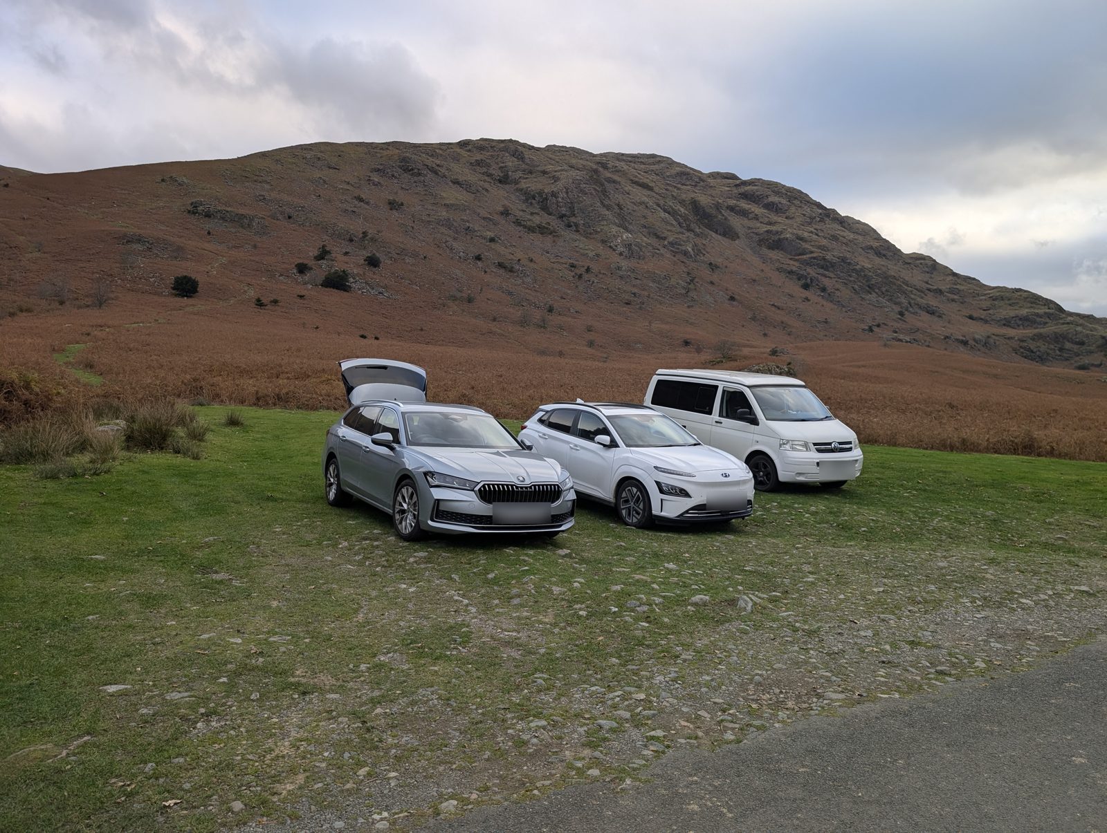
2 more places to park near the start
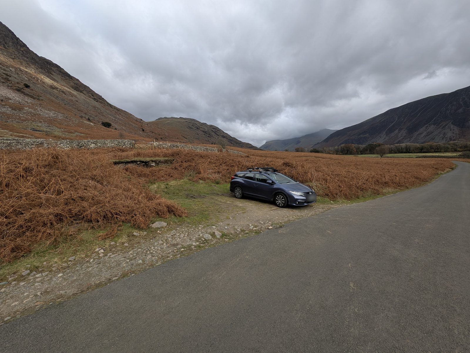
Positions are approximate.
Vehicles are left at their owner’s risk: we list places people park and cannot vouch for any of them. Take valuables with you and leave nothing on show.
Buses
The Wasdale Explorer stopped at Greendale on Saturdays, Sundays and bank holidays from 2 May to 31 August 2026; it is not running now. Checked 8 Oct 2026 (Lake District National Park, Wasdale shuttlebus page).
Rural routes change seasonally — confirm on stagecoachbus.com (opens in new tab) or Traveline before travelling.
Toilets and refreshments
No mapped drinking water or shelter on this route — that doesn’t mean there is none, and never drink untreated from a beck. (Facilities data © OpenStreetMap contributors.)
Getting there across the Lake District: Buses · Parking map · By train · By boat
Planning detail
How each grade on this page is set, and the timings stage by stage.
Difficulty profile
Severe overall — hardest: Steepness; exposure not assessed on the ground
Five independent axes, not one score. Two of the five were set on the ground; the rest are computed from the recorded track and the map, which measures the line rather than surveying the ground.
How we grade: each axis is Easy, Moderate, Hard or Severe, and a route between two bands takes the higher one. Length: under 8 km, 8–14 km, 14–20 km, over 20 km. Steepness, the steepest 500 m of the track: under 15%, 15–25%, 25–35%, over 35%. Terrain, navigation and exposure are judged rather than measured, and each note says why. How we grade.
Pacing
| Summit | Cumulative | Ascent | Time (fast–steady) |
|---|---|---|---|
| 1Middle Fell | 2.1 km | 510 m | 1:17–1:42 |
| 2Seatallan | 4.0 km | 772 m | 2:05–2:47 |
| 3Glade How | 6.4 km | 781 m | 2:35–3:27 |
| 4Buckbarrow | 6.8 km | 783 m | 2:40–3:33 |
| Finish | 8.6 km | 789 m | 3:02–4:02 |
A fast–steady range from Naismith’s rule, deliberately on the slow side. Breaks, weather, rough ground and the slowest person in your party all add to it. How we time walks.
Access & barriers
Can a buggy or dodgy knees manage this route?
- Buggy: No mapped stiles, but the ground is not a buggy line: terrain Hard – graded by Lee on stages 1-4.
- Knees: A long, steep ~36% drop over 250 m around the 7.5 km mark — hard on the knees.
On the line: No barriers mapped on this line.
Barriers as mapped on OpenStreetMap, which can miss some. Spotted one? Tell us (opens in new tab). Barrier data as of 8 October 2026. Access data © OpenStreetMap contributors (local extract).
Notes from my walks
What I found on the ground, dated, in my own words; the rest of the page is measured or drawn.
- : The Greendale Horseshoe, 3 November 2026: walked from Greendale to Buckbarrow's top; came down by Gill Beck and the road rather than this line's descent.
Walks from places nearby
- Walks from Wasdale — 4.3 km from this start
Straight-line distance from this walk’s start. Those lists hold the routes we have mapped and every Wainwright and Outlying fell within about 5 km of the town, ranked nearest first.
Related routes
All routes →Printed from https://hikes.guide/routes/the-greendale-horseshoe.html · this page as of 9 November 2026