Scrambles & the edges
Serious routes for experienced walkers with a head for heights. A hand-picked list — not an automatic filter — of the walks with genuine scrambling or seriously exposed ground, where a slip has consequences. The exposure grade on each has been walked and confirmed. They're wonderful in the right conditions and dangerous in the wrong ones: never in high wind, wet rock or winter without the skills and kit, and turn back if it doesn't feel right. Check the live conditions and the mountain forecast first.
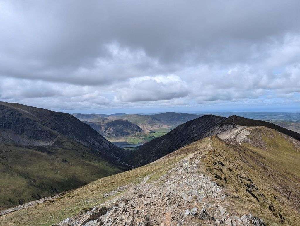
- Too windy for the topsColedale Round16 km~1108 m~5–7 hExposure: HardOne of the great north-western horseshoes, and a properly big mountain day from Braithwaite. From the little car park tucked behind the trees on the Whinlatter Pass road — or straight off the bus — a steady wake-up climb leads up over Kinn and Sleet How before Grisedale Pike shows its hand: a steep, craggy pull the map never quite warns you about, with hands needed on rock near the top. From its rocky summit the round opens out — the airy ridge over Hobcarton Crag to Hopegill Head's tiny, wind-blown perch, the broad sweep to Crag Hill and Sail, then a long, satisfying horseshoe back over the quieter tops of Outerside, Stile End and Barrow. Six Wainwrights, a handful of Birkett tops, and some of the best ridge-walking in the Lakes for the effort.
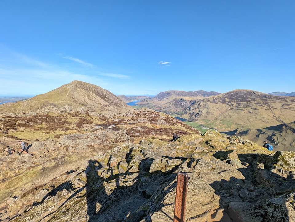 Too windy for the topsHaystacks11.4 km~738 m~3.5–4.5 hExposure: ModerateFleetwith Pike's front edge first, then the tarns and rocky knolls of Haystacks — the two finest small summits above Buttermere in a single round. There is a scramble to the true top, and a maze of paths up there that needs care in cloud.
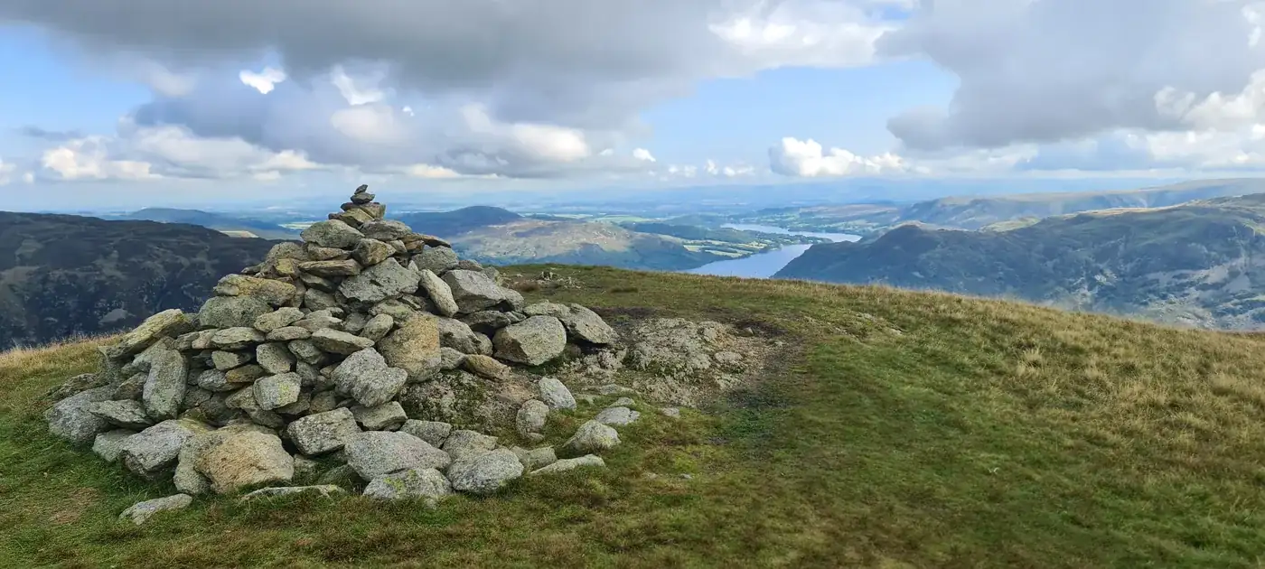 Too windy for the topsHelvellyn via Striding Edge & Swirral Edge12.7 km~924 m~4–5.5 h⚠ Exposure: SevereThe most famous — and most serious — way up England's third-highest mountain, over the knife-edge arêtes of Striding Edge and Swirral Edge, taking in shapely Catstye Cam. I haven't personally walked this exact line, and it's a genuinely dangerous route that demands a head for heights, sure footing and settled conditions; it sees accidents every year. If the edges aren't for you, the far safer walkers' option is to climb via White Side from Thirlmere. In winter the edges become full mountaineering terrain needing an ice axe, crampons and the experience to use them.
 Too windy for the topsScafell Pike via the Corridor Route15.8 km~937 m~4.5–6.5 h⚠ Exposure: SevereA grander, more interesting way up England's highest mountain than the Wasdale tourist path — the Corridor Route threads beneath the crags from Seathwaite in Borrowdale, with Lingmell a worthwhile detour for the finest view of the Scafell face. I haven't walked this exact line myself, and there are plenty of accounts of people struggling on certain sections, so read up or watch a route video first. Whatever you do, never be tempted onto Broad Stand. It's a long, rough and serious day on the highest ground in England.
Nothing matches those filters — .
Map
● routes
An interactive map of the route start points and the fells within about 5 km. Each marker links to its page; the same routes and fells are listed below.
Common questions
How is this list chosen?
By hand, not by a filter. These are the routes we know involve genuine scrambling or seriously exposed ground, and the exposure grade on each has been walked and confirmed first-hand (not just estimated from the map). It's a short, deliberate list rather than everything with a steep section.
Can I do these in any weather?
No. Exposed rock and edges are far more dangerous in high wind, rain, or when wet or icy, and the navigation off the tops can be serious in cloud. Pick a settled, dry day, start early, have the experience (and in winter the skills and kit) for the conditions, and check the mountain forecast. There's no shame in turning back.