Dog-friendly walks
Every walk on this list has been checked gate by gate. We mapped the stiles, gates and barriers along each of our routes (the Stile & Gate Census) and these are the ones where nothing on the mapped route blocks a dog's way round — no stiles to lift a wet spaniel over, no squeeze gaps. Two honest caveats: mapped barriers can be incomplete, so treat a surprise stile as possible rather than impossible; and no stiles doesn't mean off-lead — keep dogs on a short lead around livestock (sheep graze almost every Lakeland fell, commonly with lambs in spring) and under close control everywhere else. Water, shade and paw-friendly going vary by route: each guide has the detail. Routes that didn't pass aren't necessarily no-go — they just have barriers a big or less-portable dog may struggle with; they're simply not listed here rather than dressed up as fine.
- The Bowder Stone0.6 km~11 m~0–0.5 hEasy🐕 no stiles mappedA very short, level stroll to Borrowdale's famous balanced boulder — the house-sized Bowder Stone, with a wooden ladder to climb to the top. Maximum reward for minimum effort, and a guaranteed hit with children.
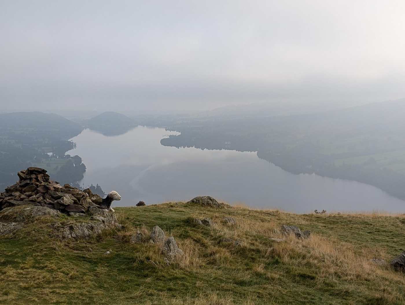
- Summit likely clagged inHallin Fell2 km~156 m~0.5–1 hEasy🐕 no stiles mappedA short, steep little climb from the Howtown steamer pier to a superb all-round viewpoint over Ullswater — maximum reward for minimum effort, and a fine car-free outing using the lake steamer.
 Summit likely clagged inBinsey Walk2.4 km~175 m~0.5–1 hEasy🐕 no stiles mappedThe northern outlier, and the biggest view-per-minute in the Lake District. Binsey stands alone above the Solway plain with nothing between it and Scotland — forty minutes up a grassy path and you can see the whole Skiddaw massif on one side and the Galloway hills on the other. A first fell, an evening fell, a fell for a bad forecast everywhere else.
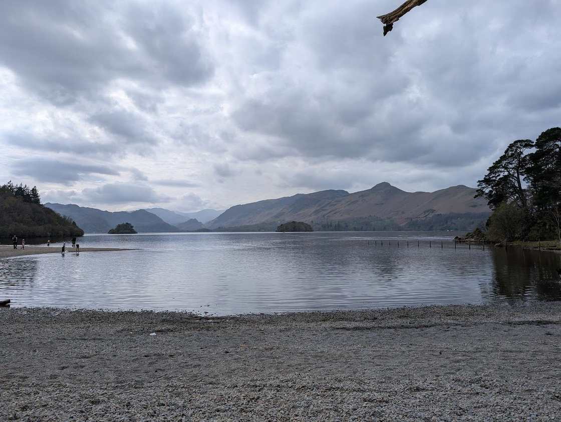 Friar's Crag & the Derwentwater shore4.2 km~43 m~0.5–1 hEasy🐕 no stiles mappedAn almost-level lakeshore stroll from Keswick to Friar's Crag — Ruskin's favourite view down Derwentwater to the Jaws of Borrowdale — on surfaced paths that suit pushchairs.
- Elterwater riverside loop4.3 km~91 m~1–1.5 hEasy🐕 no stiles mappedA short, near-level loop from Elterwater village along the River Brathay — easy, pretty and quick, with the Langdale Pikes ahead and plenty of water for a hot dog. A gentle leg-stretch or a lazy family afternoon.
- Loweswater circuit5.9 km~56 m~1–1.5 hEasy🐕 no stiles mappedA quiet, nearly-level lap of Loweswater, one of the most peaceful of the western lakes, taking in the lakeshore and the path through Holme Wood. Away from the crowds, and lovely with a dog.
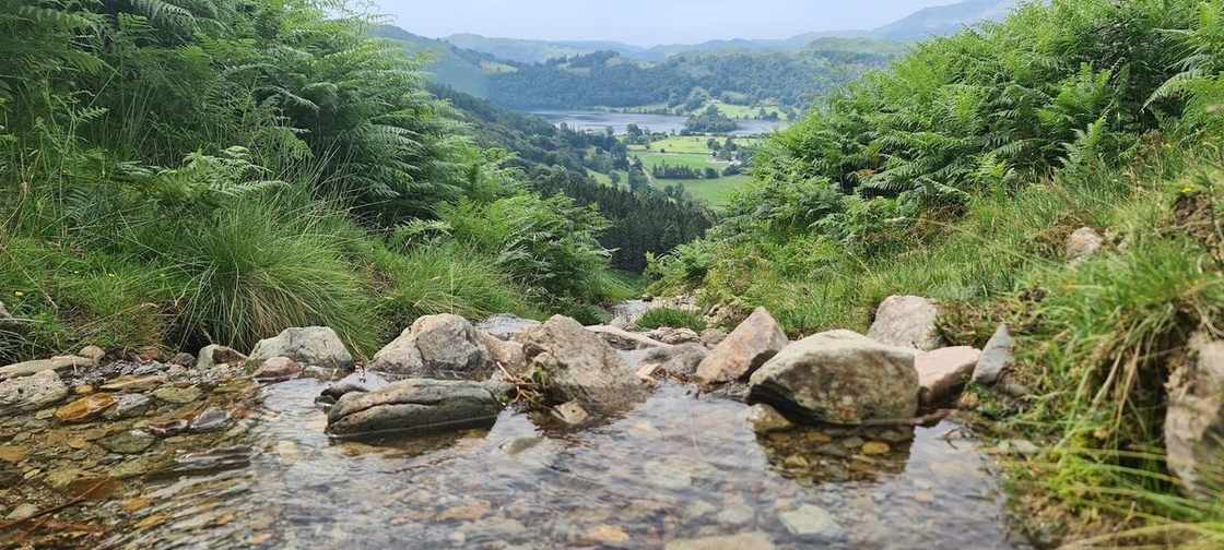 Grasmere lake circuit5.7 km~95 m~1–1.5 hEasy🐕 no stiles mappedA gentle circuit of Grasmere lake from the village — easy field paths along the eastern shore and undulating woodland on the west, with the fells reflected in the water and Wordsworth's Grasmere all around. About 4 miles, almost no climbing.
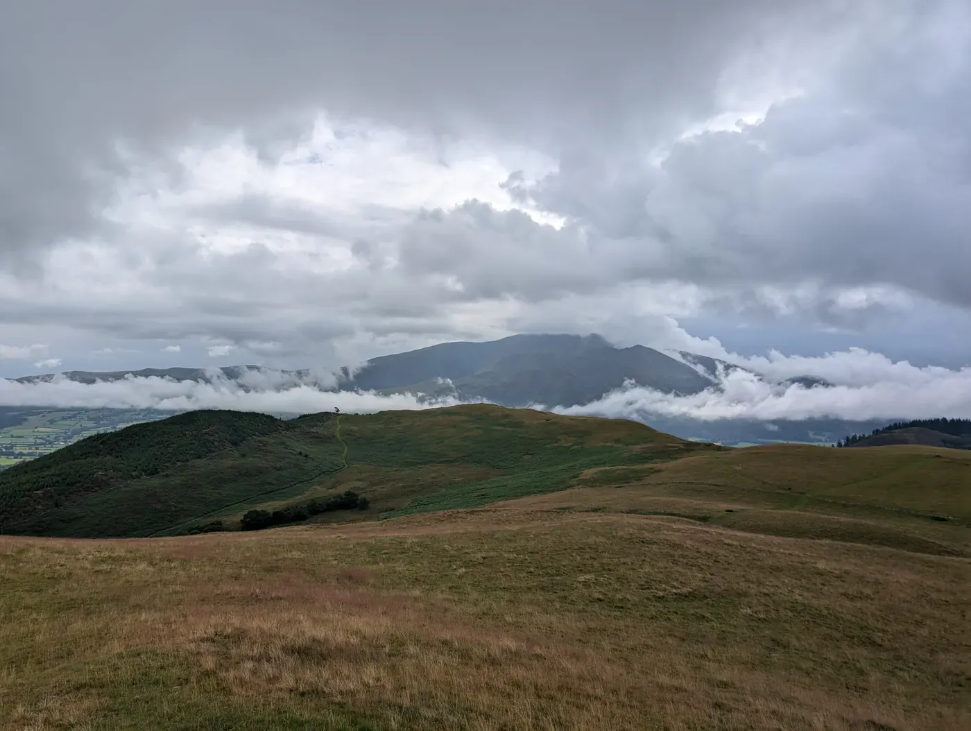 Summit likely clagged inRivings and Lothwaite4.4 km~271 m~1–1.5 hEasy🐕 no stiles mappedA short, steep little round above Wythop — Rivings, Lothwaite and Sale Fell in 4.4 km, but with 271 m of climbing packed into it and a stage averaging 12%. Easy for length and exposure; a little over an hour.
- The Royal Oak Pub Walk (Ambleside)5.9 km~68 m~1–1.5 hEasy🐕 no stiles mappedAn easy, near-level amble from the heart of Ambleside out along the River Rothay and back — parkland, riverbank and quiet lanes beneath the wooded flanks of Loughrigg, with barely 70 m of climbing across 6 km. A gentle leg-stretch to bookend lunch at the Royal Oak.
- Knipe Scar - Birkett5.7 km~166 m~1–2 hEasy🐕 no stiles mappedA short limestone walk on Knipescar Common east of Haweswater — 5.7 km and 166 m, nothing steeper than about 6%, and easy for both length and exposure. Under an hour and a half.
- Low Light Haw5.6 km~247 m~1.5–2 hEasy🐕 no stiles mappedA short, quiet loop onto Low Light Haw, one of the overlooked Bethecar Moor Birketts on the wild eastern side of Coniston Water. While the crowds file up the Old Man across the lake, this little top sees almost no one — a steep pull up through the woods onto open, heathery moor, a wide view over Coniston Water and the southern fells, and an easy return. Under 6 km, but with one genuinely steep climb: a fine short outing for a clear day and a bit of solitude.
- Buttermere lake circuit7.4 km~66 m~1.5–2 hEasy🐕 no stiles mappedThe classic low-level lap of Buttermere — a flat, well-made path right around the lake beneath High Stile and Fleetwith Pike, passing the famous lone tree and a short rock-cut tunnel. One of the great easy walks in the Lakes.
- The Sun Pub Walk (Coniston)6.4 km~202 m~1.5–2 hEasy🐕 no stiles mappedA short circuit straight from the door of The Sun, climbing out of Coniston village toward the old Coppermines valley beside Church Beck before dropping back with the Old Man of Coniston at your shoulder and Coniston Water opening up ahead. Around 200 m of gentle climbing over 6.4 km — enough to earn a pint, not enough to spoil one.
 Summit likely clagged inRaven Crag Easy Walk5.8 km~312 m~1.5–2.5 hEasy🐕 no stiles mappedThe short climb to the crag above Thirlmere — 5.8 km and 312 m with a stage averaging 20%. Easy for length, terrain, navigation and exposure alike; the gradient is the only thing rated hard. Under two hours.
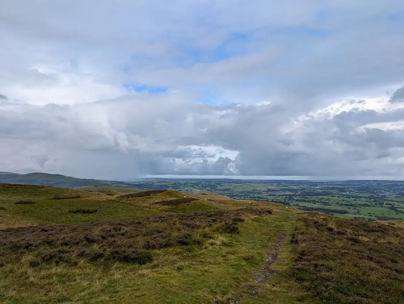 Too windy for the topsLing Fell & Sale Fell5 km~417 m~1.5–2.5 hEasy🐕 no stiles mappedTwo small grassy tops near Wythop — 5 km and 417 m, and the only route in this group rated easy on every axis but steepness. A stage averages 16%. Well under two hours.
- Rydal Water & Rydal Caves6.5 km~216 m~1.5–2.5 hEasy🐕 no stiles mappedA gentle 4-mile circuit of Rydal Water, taking in the old slate cavern of Rydal Cave above the southern shore and returning along the wooded Coffin Route. Low-level and scenic, with one short rougher stretch near the cave.
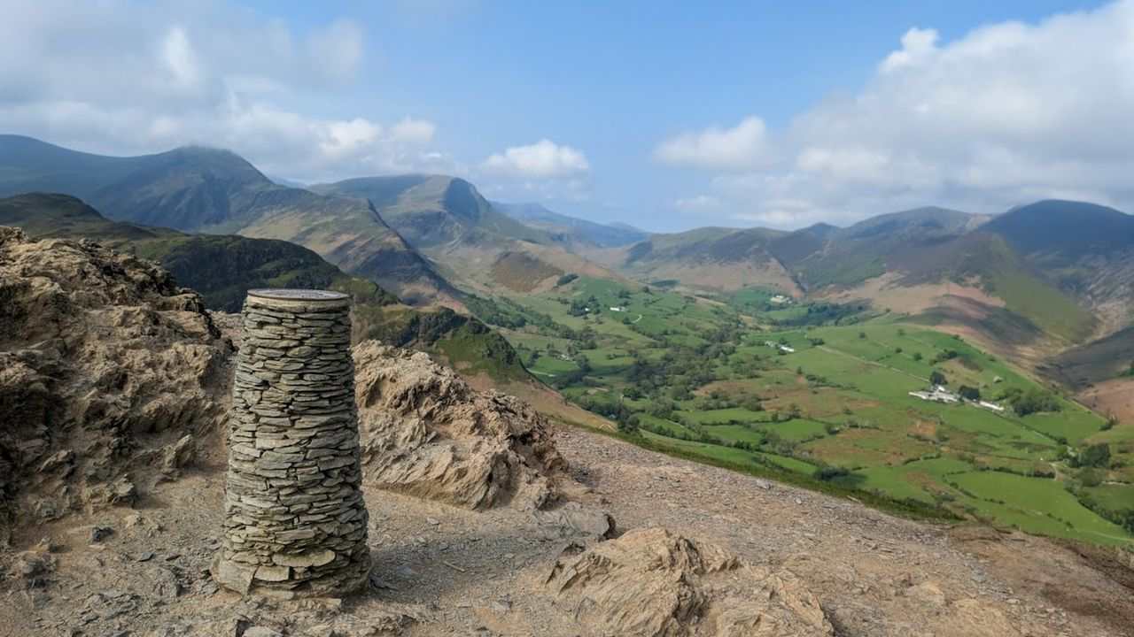 Too windy for the topsCatbells: the short way up5.7 km~388 m~1.5–2.5 hEasy🐕 no stiles mappedThe friendliest big view in the Lakes. Under 6 km from Hawse End to the shapely little summit above Derwentwater and back — short enough for an afternoon, steep enough to feel like a proper fell, and reachable without a car by launch across the lake or the bus from Keswick.
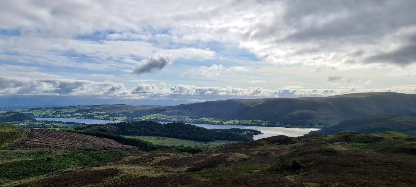 Summit likely clagged inAira Force & Gowbarrow Fell6.9 km~341 m~1.5–2.5 hEasy🐕 no stiles mappedAira Force's dramatic 65-foot waterfall, climbed on to the open top of Gowbarrow Fell for one of the finest aerial views over Ullswater. Easy-moderate — a steady pull on good National Trust paths above the falls.
- Castlerigg Stone Circle (from Keswick)7.7 km~185 m~1.5–2.5 hEasy🐕 no stiles mappedA low-level circular of about 4.8 miles from Keswick out to the prehistoric Castlerigg Stone Circle and back through fields and woods. Gentle underfoot, but a genuine half-day walk rather than the quick roadside visit many expect.
- Hawkshead into the woods7.5 km~283 m~2–2.5 hEasy🐕 no stiles mappedA quiet woodland circuit from Beatrix Potter’s Hawkshead that climbs to the great cairn on Latterbarrow — a little fell with a big reward, looking clean down Windermere and across to the Coniston fells — then drops back through the trees. Dappled, sheltered and dog-friendly, with a proper viewpoint in the middle.
- Birketts South of Burnbanks7.6 km~265 m~2–2.5 hEasy🐕 no stiles mappedFour low tops in the woods and crags above Haweswater — Naddle Low Forest, Hugh's Laithes Pike, Wallow Crag and Naddle High Forest. Just 7.6 km and 265 m, easy for length but rated hard to navigate. About two hours.
- Wray Castle & the Windermere west shore9.6 km~114 m~2–3 hModerate🐕 no stiles mappedA roughly 6-mile circular taking in the mock-Gothic Wray Castle and the quiet western shore of Windermere. A varied, low-level day — flat underfoot but a fair distance.
 Summit likely clagged inStone Arthur from Grasmere6.8 km~516 m~2–3 hModerate🐕 no stiles mappedThe steep little top above Grasmere, out and back in 6.8 km with 516 m of climbing. Easy for length, navigation and exposure — it is the gradient that makes it, rated hard. About 2.2 hours.
 North of Coniston Birketts7.7 km~458 m~2–3 hModerate🐕 no stiles mappedThree quiet Birketts on the Yewdale fells north of Coniston — Long Crag, High Wythow and Low Wythow — on a short but steep loop that most walkers pass over for the Old Man across the valley. Moderate for the legs, harder for the map: faint paths and a clear-day-only navigation challenge, rewarded with rarely-trodden tops and a fine view over Coniston Water.
 Grasmere to Easdale Tarn9.5 km~237 m~2–3 hModerate🐕 no stiles mappedOne of Lakeland’s loveliest short valley walks — from Grasmere village up the green trough of Easdale to its hidden tarn, ringed by crags with Sourmilk Gill tumbling down beside the path. Gentle underfoot with just enough climb to feel earned, and a firm favourite with dogs.
 Too windy for the topsPlace Fell and The Knight7.1 km~514 m~2–3 hModerate🐕 no stiles mappedStraight up from Ullswater to Place Fell and The Knight — 7.1 km and 514 m, with a stage averaging 16%. Easy for length but severe for steepness and hard for exposure. About 2.3 hours.
- Dunnerdale Fells8.6 km~484 m~2.5–3.5 hModerate🐕 no stiles mappedFive small rocky tops above the Duddon — Great Stickle, Stickle Pike and Raven's Crag among them — in 8.6 km with 484 m of climbing. Short but rated hard to navigate; about two and a half hours.
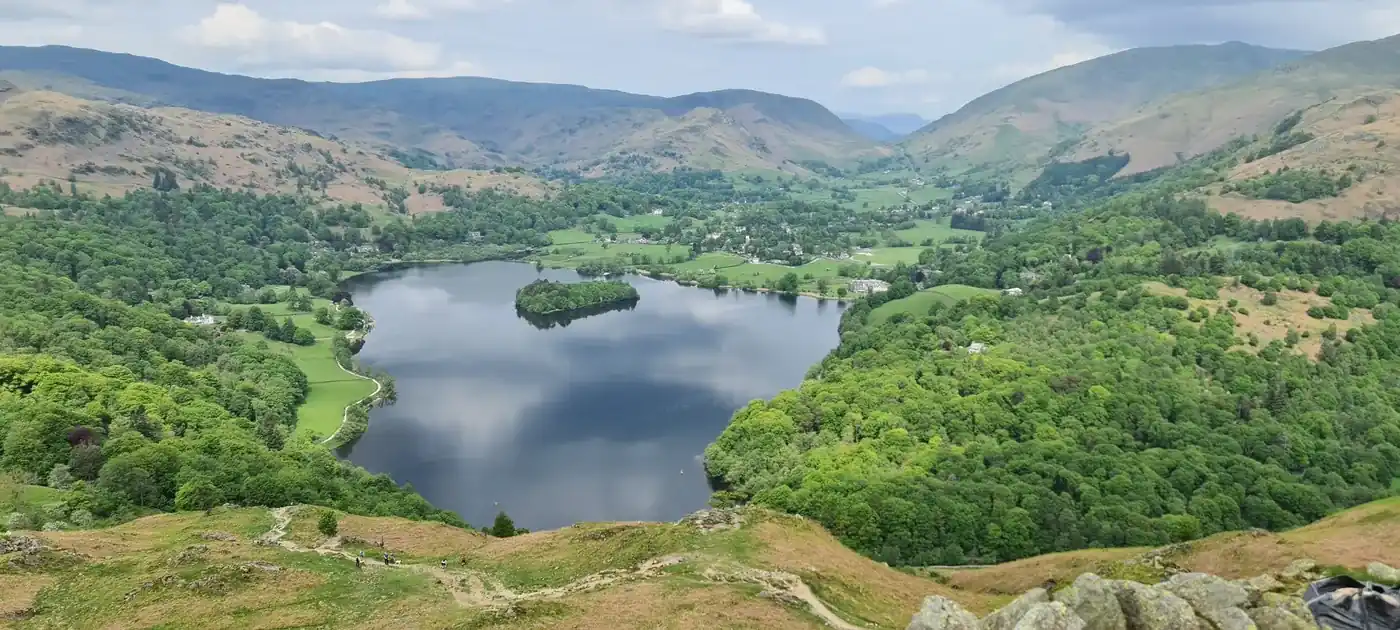 Summit likely clagged inLoughrigg Tarn & Loughrigg Fell9.8 km~382 m~2.5–3.5 hModerate🐕 no stiles mappedA big little walk: the classic loop taking in reed-fringed Loughrigg Tarn and the knobbly top of Loughrigg Fell, with one of the finest low-level views in the Lakes — Windermere, Grasmere and the Langdale Pikes all at once. Under 400 m of climb, endlessly varied, and grand for dogs.
- Watendlath & the packhorse bridge10.3 km~298 m~2.5–3.5 hModerate🐕 no stiles mappedA roughly 6.4-mile Borrowdale loop up to the hidden hamlet of Watendlath, its tarn and the much-photographed packhorse bridge, returning down the valley. A satisfying low-level half-day.
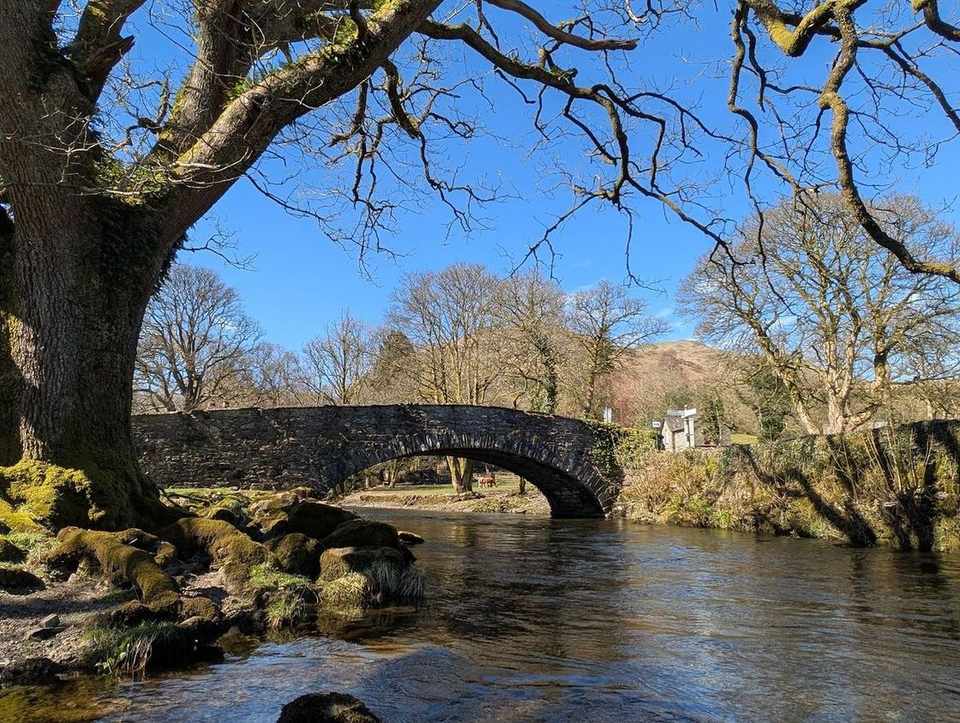 Loughrigg Terrace & Rydal Water10.7 km~288 m~2.5–3.5 hModerate🐕 no stiles mappedA lake-and-terrace classic linking Grasmere and Rydal Water, taking in Rydal Cave, the old Coffin Route and the famous Loughrigg Terrace view down Grasmere. Easy-moderate, with a little climbing and some rougher ground.
- Summit likely clagged inAmbleside, Todd Crag, Rydal Cave10.4 km~392 m~2.5–3.5 hModerate🐕 no stiles mappedThe classic Ambleside circuit of Loughrigg Fell — up through Rothay Park and over Todd Crag past Lily Tarn, across the undulating top to the summit trig point, then down to Loughrigg Terrace above Grasmere and back along the fell's flank via Rydal Cave. Low in height, big in views, and the best-value 10 km in the central Lakes.
- Carron Crag from Grizedale11 km~388 m~2.5–3.5 hModerate🐕 no stiles mappedThe high point of Grizedale Forest, out and back in 11 km with 388 m of climbing and nothing steeper than about 9%. Easy for exposure but rated hard to navigate — forest tracks all look alike. Under three hours.
- Ambleside to the Old Post Office Tea Room, Troutbeck (over Wansfell)9.9 km~546 m~2.5–4 hModerate🐕 no stiles mappedA proper half-day loop with a reward built in: climb out of Ambleside over Wansfell Pike for a huge view down Windermere, drop into pretty Troutbeck for tea and cake at the Old Post Office Tea Room, then circle back. Around 550 m of up and down — and dog-friendly throughout.
 Too windy for the topsSwarth Fell and Loadpot Hill9.7 km~568 m~2.5–4 hModerate🐕 no stiles mappedFour far-eastern tops above Ullswater — Swarth Fell, Loadpot Hill, Brownthwaite Crag and Steel Knotts — in 9.7 km with 568 m of climbing. Severe for steepness, hard for navigation and exposure; under three hours.
 Castle How & Lang How - Birketts10.9 km~445 m~2.5–4 hModerate🐕 no stiles mappedLang How, Swinescar Pike and Castle How on the knolly ground above Grasmere — 10.9 km and 445 m, nothing steeper than about 10% on average, but rated hard to navigate among the hummocks. Just under three hours.
- Crummock Water shore circuit13.2 km~191 m~3–4 hModerate🐕 no stiles mappedThe full circuit of Crummock Water — about 8.2 miles around one of the loveliest of the western lakes. Largely level but long, and boggy in places along the quieter western shore.
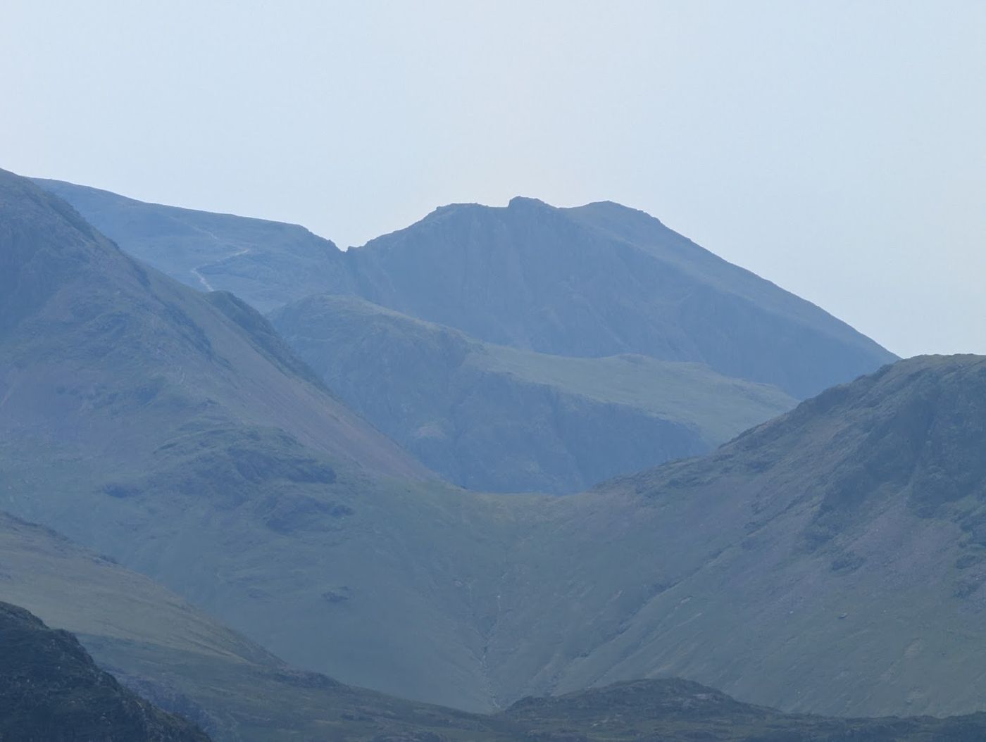 Too windy for the topsScafell Pike from Wasdale, by Lingmell Col8 km~915 m~3–4 hModerate🐕 no stiles mappedThe most-walked way up the highest mountain in England, and the shortest — 8 km and 915 m straight out of Wasdale Head. It is a hard, stony climb up Brown Tongue into Hollow Stones, then a boulder-strewn haul to the roof of the country. Do not mistake ‘popular’ for ‘easy’.
- Too windy for the topsStile End, Outerside, Causey Pike, Rowling End9.9 km~682 m~3–4 hModerate🐕 no stiles mappedFour small Newlands tops in 9.9 km, though 682 m of ascent packed into that makes it steeper than the distance suggests, with one stage averaging 16%. Both the terrain and the exposure are rated hard along Causey Pike's knobbly crest. About 3.1 hours.
- Awkward Around Swinside Fell12.3 km~415 m~3–4 hModerate🐕 no stiles mappedStoupdale Head, White Combe and Stoneside Hill in the far south-west — 12.2 km and 415 m, and nothing on it averages steeper than about 5%. The name is earned by the navigation, which is rated hard. Around 3.1 hours.
- Ashness Bridge & Surprise View13.4 km~322 m~3–4.5 hModerate🐕 no stiles mappedA circular of about 8.3 miles along the eastern shore of Derwentwater taking in the iconic Ashness Bridge and the Surprise View over the lake. Mostly low-level (it passes below Walla Crag, not over it).
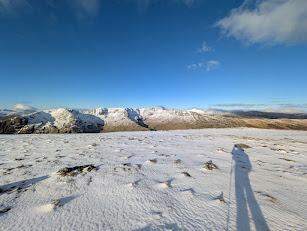 Too windy for the topsSt Sunday Crag10 km~782 m~3–4.5 hModerate🐕 no stiles mappedThree tops and an outlier on the long Patterdale ridge — Arnison Crag, Birks and St Sunday Crag, with Gavel Pike a short detour off the summit. Steep in places, but the walking line stays well clear of the crags throughout.
- Too windy for the topsHelvellyn from Swirls: the walkers’ way up9.4 km~831 m~3–4.5 hModerate🐕 no stiles mappedThe straightforward way up England’s third-highest fell — no scrambling, no knife edges, just a long, honest climb from Thirlmere up Browncove Crags to the summit plateau, returning over Lower Man and White Side. This is the route to take if Striding Edge frightens you, and there is no shame whatever in taking it: the view from the top is exactly the same.
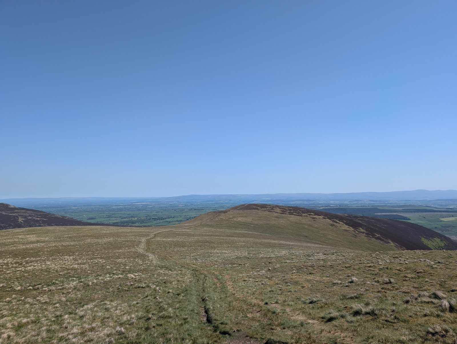 Too windy for the topsThe Tongue Birkett10.6 km~689 m~3–4.5 hModerate🐕 no stiles mappedThe Tongue and Bowscale Fell from the Mungrisdale side — 10.6 km with 689 m of climbing and a stage averaging 17%, which is what earns it a severe steepness rating. Easy for exposure once you are up; about 3.3 hours.
- Too windy for the topsBrown Crag and Raise10.6 km~749 m~3–4.5 hModerate🐕 no stiles mappedThree tops on the western flank of the Helvellyn range, Brown Crag through White Side to Raise. 749 m of ascent in 10.6 km with one stage at 15%. Navigation is only moderate here, the paths being clear enough, but exposure is rated hard once you are on the ridge. Roughly 3.4 hours.
- Too windy for the topsAllan Crags & Glaramara10.9 km~806 m~3.5–4.5 hModerate🐕 no stiles mappedGlaramara's knobbly crest and Allen Crags, five summits linked along the ridge above Borrowdale. 806 m of climbing in 10.9 km, rated severe for steepness though navigation and exposure both stay moderate. About 3.5 hours.
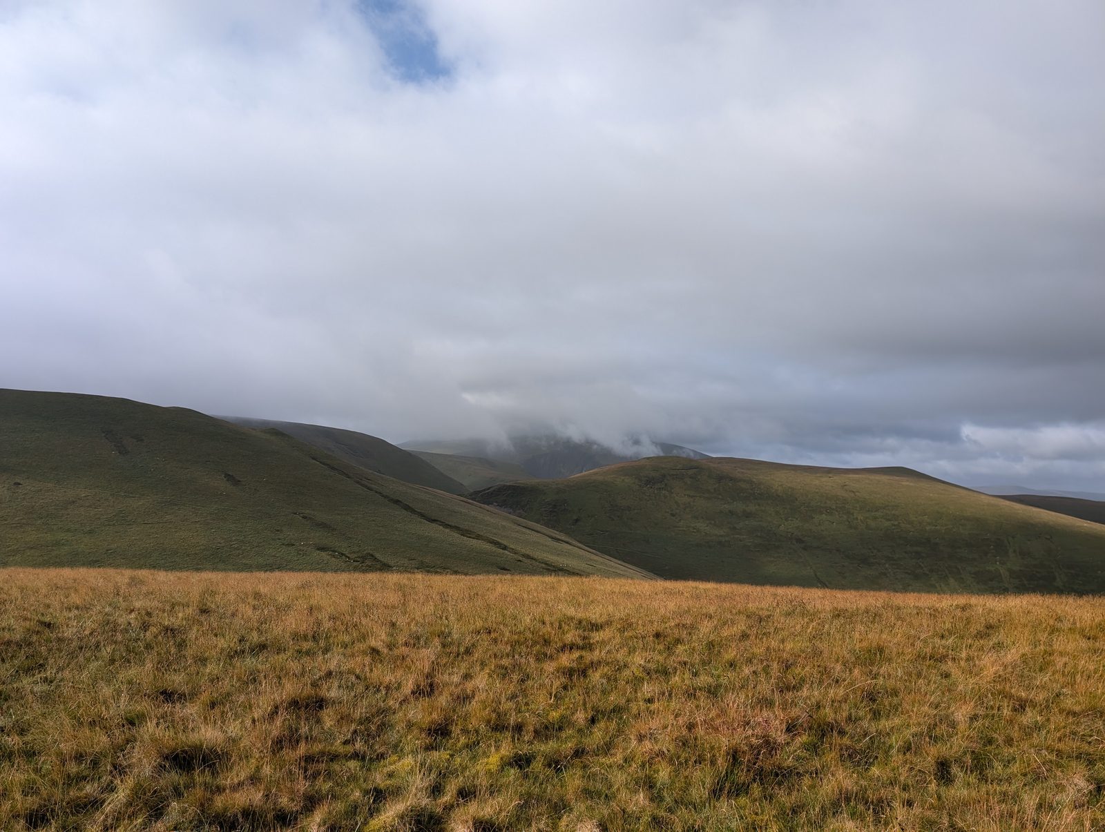 Summit likely clagged inA quiet Birkett13 km~587 m~3.5–5 hModerate🐕 no stiles mappedThree low tops on the empty northern edge of the fells — Green How, Lowthwaite Fell and Longlands Fell — in a 13 km round with 587 m of climbing. No stage averages steeper than about 6%, and it is easy for exposure: about 3.6 hours of quiet walking.
 Too windy for the topsBlencathra via Blease Fell11.9 km~750 m~3.5–5 hModerate🐕 no stiles mappedA shorter, easier way up the great northern fell of Blencathra than my favourite round from Mungrisdale over Souther Fell. From Threlkeld it climbs the grassy shoulder of Blease Fell (Knowe Crags) to the summit, with a fine high traverse over Gategill Fell Top, Doddick Fell and Scales Fell, and it avoids the boggy ground of Mungrisdale Common. A grand viewpoint over the northern fells and the Eden valley for relatively modest effort — and well clear of the notorious Sharp Edge.
 Too windy for the topsNorth of Skiddaw13.2 km~707 m~3.5–5 hModerate🐕 no stiles mappedEight tops in the quiet grassy country north of Skiddaw — Longlands Fell, Brae Fell, the two Sca Fells, Meal Fell and Great Cockup among them. Gentle underfoot and rarely busy, but nearly a fifth of the line is featureless ground where a compass earns its keep.
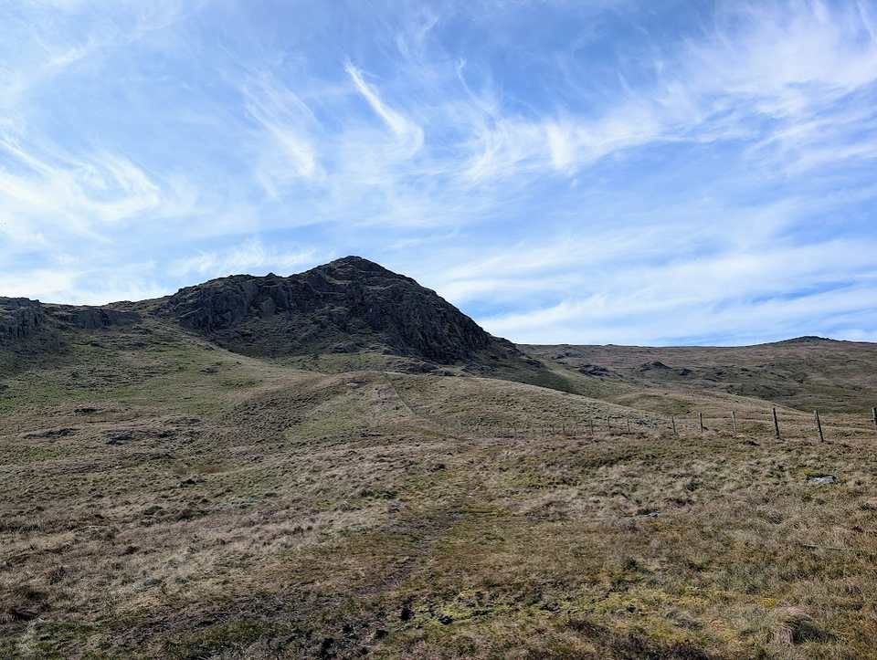 Summit likely clagged inStanding Crag, High Tove, Armboth14.3 km~545 m~3.5–5 hModerate🐕 no stiles mappedSix tops on the wet watershed between Thirlmere and Borrowdale — Standing Crag, Shivery Knott, Middle Crag, High Tove and Armboth Fell. 14.3 km and 545 m, rated hard for length, steepness and navigation. About 3.8 hours.
- Too windy for the topsScar Crags, Causey Pike12 km~850 m~3.5–5 hModerate🐕 no stiles mappedBarrow, Outerside, Scar Crags, Causey Pike and Rowling End above Newlands — five tops in 12 km with 850 m of climbing. Hard for terrain, navigation and exposure, severe for steepness; about 3.8 hours.
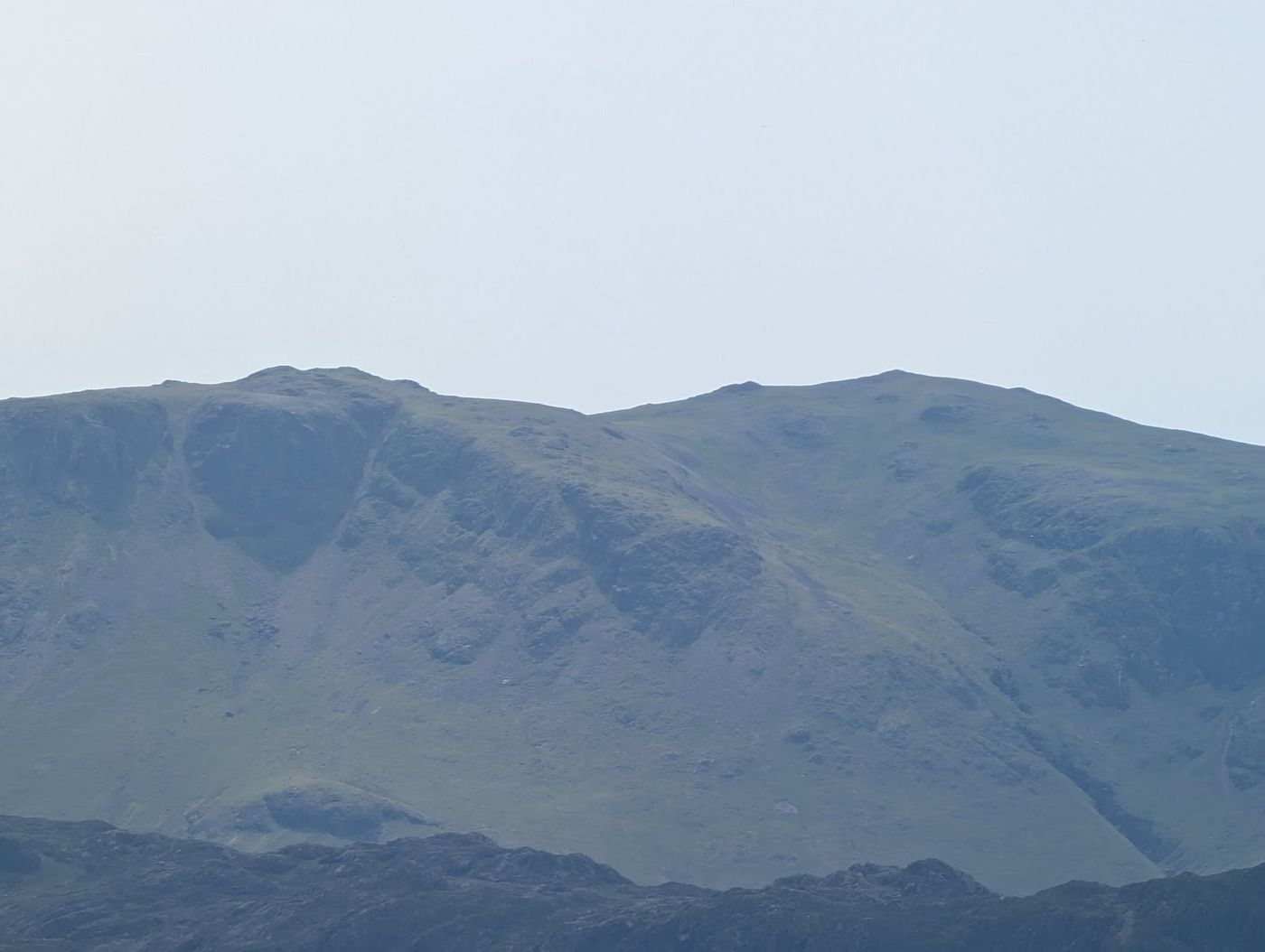 Too windy for the topsHigh Stile, Seat via Buttermere13 km~836 m~4–5.5 hModerate🐕 no stiles mappedFive tops along the High Stile ridge with Buttermere below you the whole way. 836 m of ascent in 13 km, and a stage averaging 20% to gain the ridge in the first place. Exposure is rated hard where the crags drop straight to the lake. Roughly 4 hours.
- Too windy for the topsCatbells, Maiden Moor & High Spy13.8 km~824 m~4–5.5 hHard🐕 no stiles mappedA lovely, accessible ridge walk above the western shore of Derwentwater, and a great introduction to the fells. From Hawes End it climbs the shapely little peak of Catbells, then follows the airy but easy ridge south over Maiden Moor to High Spy, with Derwentwater and the Newlands valley spread out below. There are a few easy scrambly steps on Catbells that some guides don't mention, but nothing most people can't manage. A modest, rewarding day with some of the best views in the northern Lakes for the effort.
- Too windy for the topsBirketts by Carrock Fell15.3 km~668 m~4–5.5 hHard🐕 no stiles mappedEight tops on the northern fells from Carrock Fell over Round Knott, Miton Hill and Great Lingy Hill — 15.3 km and 668 m, with one stage averaging 16%. Hard for navigation and exposure both: open ground with few landmarks. About 4.2 hours.
 Too windy for the topsMardale Ill Bell, High Street, The Knott, Rampsgill Head, High Raise and Kidsty Pike13.7 km~862 m~4–5.5 hHard🐕 no stiles mappedSix far-eastern tops from Mardale Ill Bell over High Street to Rampsgill Head — 13.7 km and 862 m. Rated hard for terrain, navigation and exposure together, which few routes here manage. About 4.2 hours.
- Too windy for the topsThe Buttermere Ridge13.4 km~975 m~4–5.5 hHard🐕 no stiles mappedOne of the finest ridge walks in the Lakes — Seat, High Crag, High Stile and Red Pike strung above Buttermere, with plunging drops into Ennerdale on one side and the lake on the other. Earned by the loose, relentless grind of Gamlin End and paid for again on the red scree chute off Red Pike: 13.4 km, 975 m of climbing, and severe for steepness.
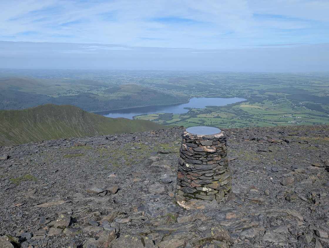 Too windy for the topsSkiddaw via Ullock Pike and Dodd12.4 km~1081 m~4–5.5 hHard🐕 no stiles mappedA grand horseshoe of the northern Skiddaw group from the forest at Dodd Wood. The walk climbs the clean, shapely ridge over Ullock Pike and along airy Longside Edge to Long Side, then drops to the col by Carl Side before the stiff, loose scree pull onto Skiddaw itself — and one of the great Lakeland summit views, out across the Solway Firth to Scotland. The return crosses back over Carl Side and takes a careful, GPS-checked line down to the wooded little top of Dodd before the drop home through the trees. Five Skiddaw-group Wainwrights — Ullock Pike, Long Side, Carl Side, Skiddaw and Dodd — on a satisfying, varied loop: clean ridge, real summit, quiet forest to finish.
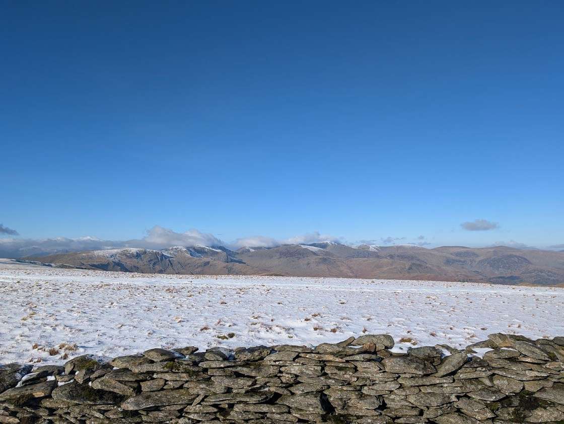 Too windy for the topsFusedale Circuit14.7 km~856 m~4–6 hHard🐕 no stiles mappedA quiet ~15 km circuit of the Far Eastern fells from Howtown on Ullswater — Hallin Fell, Steel Knotts, Wether Hill, Loadpot Hill, Arthur's Pike and Bonscale Pike — broad grassy tops with grandstand views over the lake. A fine Steamer-and-walk outing.
 Too windy for the topsWest of Grasmere15.4 km~806 m~4–6 hHard🐕 no stiles mappedSix tops on the rough ground west of Grasmere — Tarn Crag, Codale Head, Sergeant Man, Blea Rigg and Swinescar Pike — in 15.4 km with 806 m of climbing. Hard for length and steepness; about 4.4 hours.
- Ulpha Birketts15.9 km~719 m~4–6 hHard🐕 no stiles mappedFive tops on the quiet Duddon fells — The Pike, Hesk Fell, Yoadcastle, White Pike and Stainton Pike — in 15.9 km with 719 m of climbing. Hard for length, steepness and navigation; about 4.4 hours.
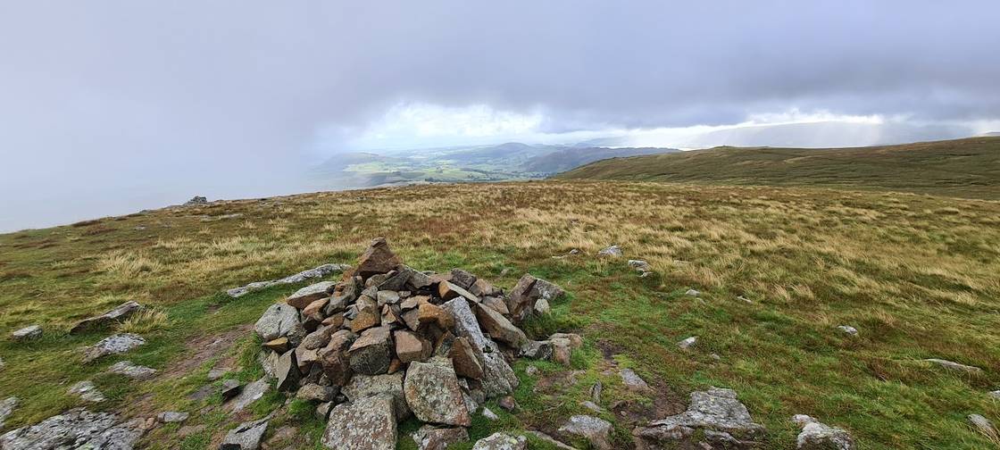 Too windy for the topsBirketts above Ullswater16.5 km~694 m~4–6 hHard🐕 no stiles mappedTen Birkett tops strung along the Dodds above Ullswater, from Low How and Randerside over Great Dodd and Stybarrow Dodd — 16.4 km and 694 m across eleven stages. Rated hard to navigate and easy for exposure; about 4.4 hours.
- Too windy for the topsCarrock Fell and Knott16.6 km~718 m~4.5–6 hHard🐕 no stiles mappedFive northern tops from Carrock Fell over Miton Hill and High Pike to Knott — 16.6 km and 718 m, with one stage climbing at an average of 25%. Severe for steepness, hard for length, but only moderate to navigate. About 4.5 hours.
- Too windy for the topsSlight Side & Sca Fell14.9 km~933 m~4.5–6 hHard🐕 no stiles mappedThe long southern approach to Scafell over Slight Side — two tops, 14.9 km and 933 m, hard for terrain, navigation and exposure and severe for steepness. About 4.5 hours, and the quieter way onto the mountain.
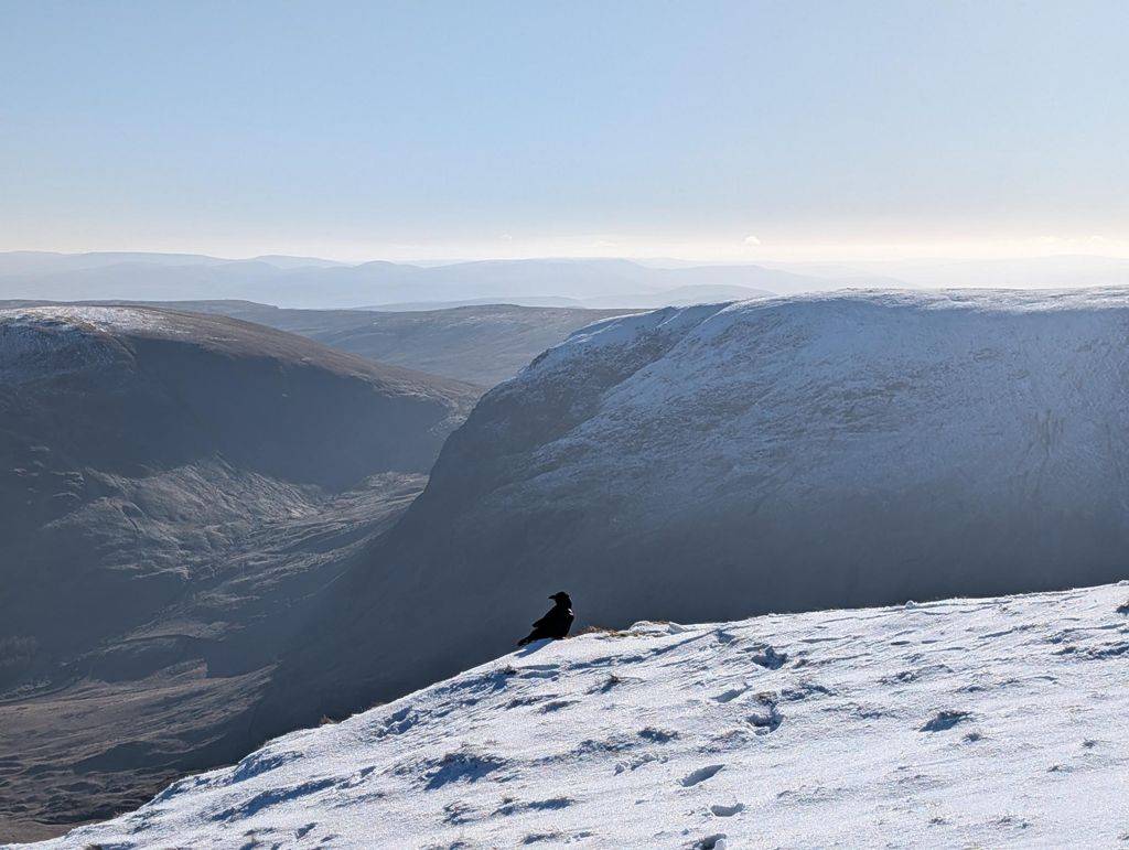 Too windy for the topsMardale Horseshoe15.3 km~900 m~4.5–6 hHard🐕 no stiles mappedSeven tops around the head of Mardale, from Kidsty Pike over High Street to Harter Fell and back down to Haweswater. The going is easy underfoot and the tops are flat — but there is almost no shelter up there beyond a single stone wall.
 Too windy for the topsScafell Pike via the Corridor Route15.8 km~937 m~4.5–6.5 hHard🐕 no stiles mappedA grander, more interesting way up England's highest mountain than the Wasdale tourist path — the Corridor Route threads beneath the crags from Seathwaite in Borrowdale, with Lingmell a worthwhile detour for the finest view of the Scafell face. I haven't walked this exact line myself, and there are plenty of accounts of people struggling on certain sections, so read up or watch a route video first. Whatever you do, never be tempted onto Broad Stand. It's a long, rough and serious day on the highest ground in England.
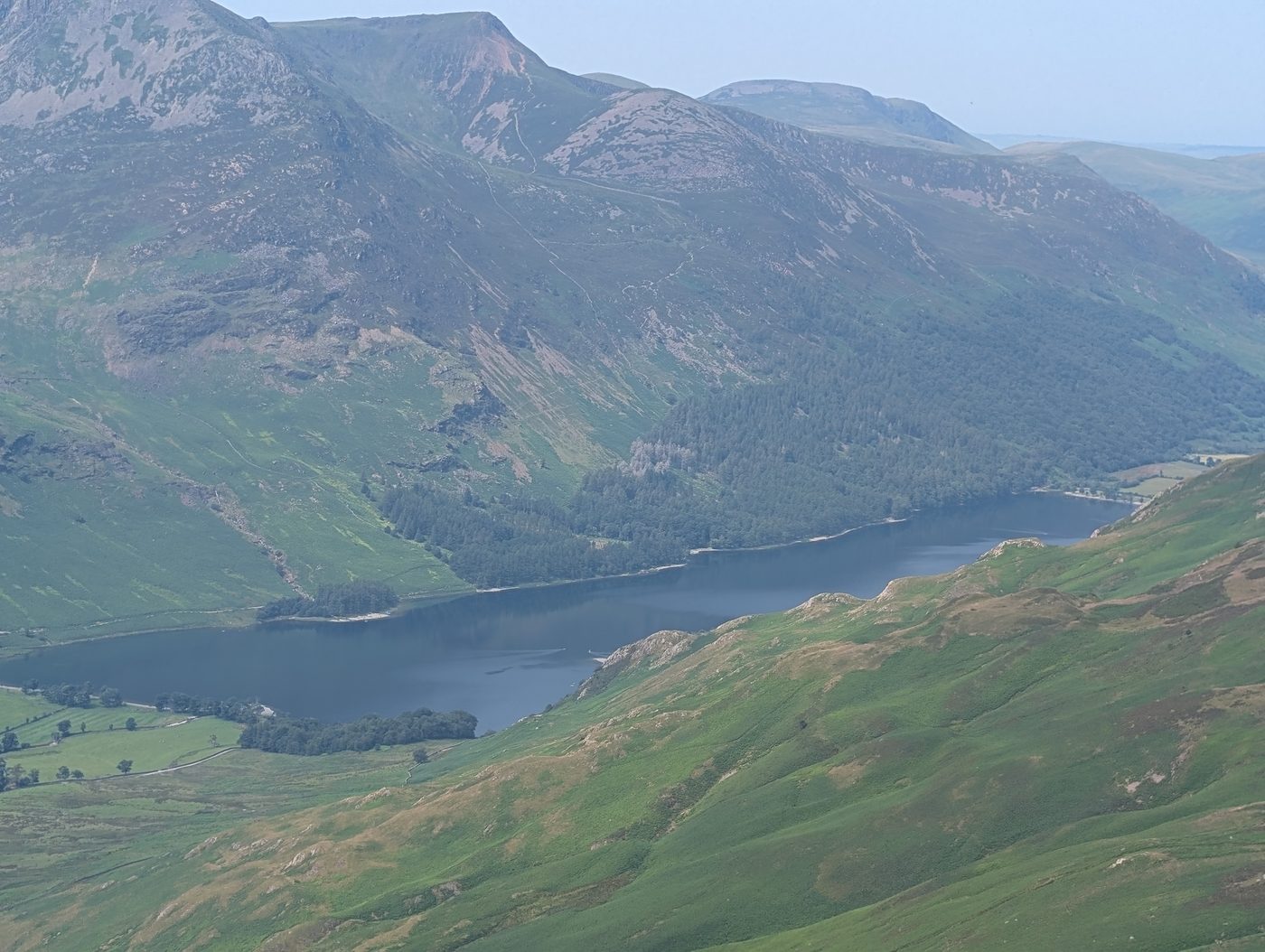 Too windy for the topsDale Head Hindscarth and Robinson17.5 km~808 m~4.5–6.5 hHard🐕 no stiles mappedThree big Newlands tops — Dale Head, Hindscarth and Robinson — linked by a fast, airy ridge, reached by a lung-bursting pull straight off Honister Pass with no warm-up at all. A linear day rather than a round: 17.5 km and 808 m of climbing, of which the last 11.7 km is the valley walk-out to Keswick after the final summit.
- Too windy for the topsGreat Borne & Starling Dodd16 km~1100 m~5–6.5 hHard🐕 no stiles mappedRed Pike, Starling Dodd and Great Borne along the western end of the High Stile ridge — three tops, 16 km and 1,100 m, with one stage averaging 20%. Hard for length, severe for steepness; about 5 hours.
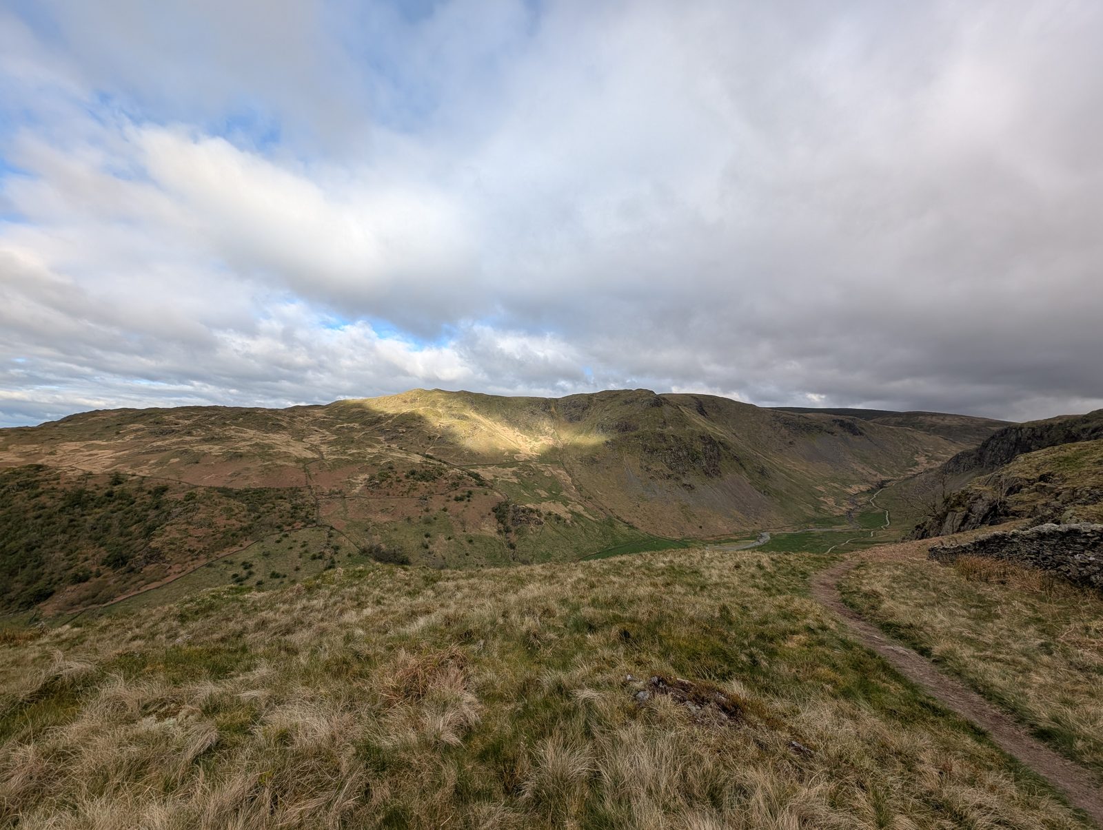 Too windy for the topsHarrop Pike & Ancrow Brow - Birketts20 km~601 m~5–6.5 hHard🐕 no stiles mappedEight Birkett tops above Longsleddale in a 20 km round — only 601 m of ascent, which is modest for the distance, but one stage climbs 294 m in 1.2 km at around 24%, and the ground is rated hard for both navigation and exposure. About 5 hours steady.
- Too windy for the topsArd Crags & Knott Rigg19.7 km~687 m~5–7 hHard🐕 no stiles mapped<AI-GENERATED for planned routes; replaced with Lee's own account once Revised>
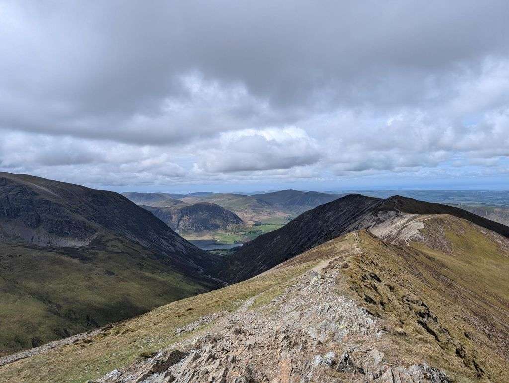 Too windy for the topsColedale Round16 km~1108 m~5–7 hHard🐕 no stiles mappedOne of the great north-western horseshoes, and a properly big mountain day from Braithwaite. From the little car park tucked behind the trees on the Whinlatter Pass road — or straight off the bus — a steady wake-up climb leads up over Kinn and Sleet How before Grisedale Pike shows its hand: a steep, craggy pull the map never quite warns you about, with hands needed on rock near the top. From its rocky summit the round opens out — the airy ridge over Hobcarton Crag to Hopegill Head's tiny, wind-blown perch, the broad sweep to Crag Hill and Sail, then a long, satisfying horseshoe back over the quieter tops of Outerside, Stile End and Barrow. Six Wainwrights, a handful of Birkett tops, and some of the best ridge-walking in the Lakes for the effort.
 Summit likely clagged inBlencathra to Mungrisdale Common and over the back17.6 km~961 m~5–7 hHard🐕 no stiles mappedBlencathra by its southern ridges — Scales Fell and Doddick Fell onto Hallsfell Top — then over the back for the quieter Bannerdale Crags and Bowscale Fell, taking in Mungrisdale Common on the way. Nine tops, 17.6 km and 961 m, rated severe for steepness but only moderate for navigation and exposure. About 5.1 hours steady.
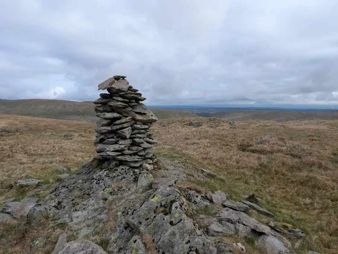 Crookdale Birketts21 km~635 m~5–7 hHard🐕 no stiles mappedNine tops around Crookdale on the Shap fells — Robin Hood, Harrop Pike, Wasdale Pike and Sleddale Pike among them — in 20.9 km with 635 m of climbing and nothing steeper than about 6%. Severe for length, easy for exposure; about 5.2 hours.
 Too windy for the topsMardale circuit17.5 km~1099 m~5–7 hHard🐕 no stiles mappedThe full circuit of the head of Haweswater — up the Rough Crag ridge to High Street, then Harter Fell, Branstree and Selside Pike around the far side. 17.5 km and 1,099 m, with eight mapped crag features near the line.
- Too windy for the topsEsk Pike and Great End17.7 km~1099 m~5–7 hHard🐕 no stiles mappedEsk Pike and Great End, the two big tops at the head of Eskdale, reached by a 17.7 km round with 1,099 m of climbing. Nothing on it averages steeper than about 11%: the difficulty is the scale rather than any one pull, and both navigation and exposure are rated only moderate. Allow around 5.4 hours.
- Too windy for the topsRossett Pike, Allen Crags, Great End and more17.7 km~1176 m~5.5–7.5 hHard🐕 no stiles mappedA five-summit traverse of the high central ground, taking in Rossett Pike, Allen Crags, Great End, Esk Pike and Bowfell. The 1,176 m of ascent is spread over 17.7 km so no stage averages more than about 10%, but exposure is rated hard and the rock underfoot barely lets up. Around 5.5 hours.
 Too windy for the topsHelm Crag, Gibson Knott, Calf Crag, Steel Fell and Tarn Crag20.8 km~910 m~5.5–7.5 hHard🐕 no stiles mappedThe full Far Easedale horseshoe from Grasmere, and a longer, wetter day than Helm Crag alone suggests. The true summit — the Howitzer — needs an exposed scramble, and beyond Gibson Knott the ground turns to peat hags and bog that stay wet in all seasons, with Brownrigg Moss the hardest crossing of the day.
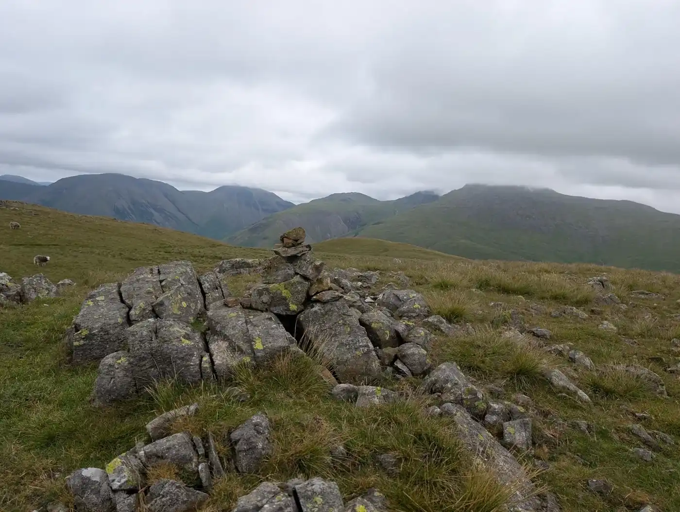 Too windy for the topsBoat How, Great Bank & Wainwrights20.7 km~1170 m~6–8 hHard🐕 no stiles mappedBoat How, Illgill Head and Whin Rigg above Wasdale — only three tops but 20.7 km and 1,170 m to reach them, severe for both length and steepness. Hard for exposure too — Illgill Head and Whin Rigg are the Screes tops above Wastwater. Around 6.1 hours.
Nothing matches those filters — .
Map
● routes
An interactive map of the route start points and the fells within about 5 km. Each marker links to its page; the same routes and fells are listed below.
Common questions
How do you decide a walk is dog-friendly?
From data, not vibes: we pulled every mapped stile, gate and barrier along each route (our Stile & Gate Census) and a walk only makes this list when nothing on the mapped line blocks a dog's way round. Where we have no barrier data for a route we say nothing at all rather than guess — an unverified route is never listed as dog-friendly. The flip side: mapping can be incomplete, so carry on past a surprise gate with good grace.
Does dog-friendly mean my dog can run off the lead?
No. This list is about physical barriers, not lead rules. Sheep graze nearly every fell and valley in the Lake District, often with lambs from spring; keep dogs on a short lead around any livestock and under close control at all times. Ground-nesting birds also mean lead-on in open fell country from March to July. The route guides flag anything specific we know about.
My dog is fit — can we do the big fell days here?
Several full fell rounds pass the census, but a no-stiles verdict says nothing about heat, rough rock, or how far a dog can sensibly go. Carry water (summit becks dry up in warm spells), watch paws on sharp ground, and pick shorter walks in warm weather — dogs overheat on open fells long before their owners do.