
Castle How & Lang How - Birketts
Photo: © Lee McCoy
Key facts
Difficulty profile
Five independent axes, not one score. “Desk” ratings come from maps and guidebooks, not yet walked — treat them as a guide, not a survey.
Daylight & turnaround
Daylight is short from October to February — check today’s sunrise and sunset before you set off, and carry a head-torch and spare batteries. On short days, decide your turn-back time before you start.
Why this matters: 78% of Mountain Rescue call-outs come after midday — the day runs out on the way home, not on the way up. See also walking in bad weather and today’s conditions.
1 Lang How2 Swinescar Pike3 Castle How (Raw Pike)
Easy 82%Moderate 14%Hard 5%Severe
Free mapping: OpenTopoMap / OpenStreetMap (switch layers top-right).
This walk covers about 10.91 km with around 445 m of ascent, taking in 3 summits. The map above shows the line; the elevation profile and stage notes are below.
Access & barriers
Can a dog, a buggy or dodgy knees manage this route? A quick read from the gates and stiles mapped along the way.
- Dog: Gates and kissing gates only — a dog can do the whole route.
- Buggy: Stiles or rough going on the route.
- Knees: A long, steep ~33% drop around the 5.9 km mark — hard on the knees.
On the line: 15 gates · 3 kissing gates
These are mapped barriers, from OpenStreetMap — coverage in the Lakes is good but not guaranteed complete. Spotted a stile or gate we’ve missed? Tell us (opens in new tab) and we’ll fix it. Barrier data as of 2026-07-26. Access data © OpenStreetMap contributors (via Overpass).
Pacing
| Summit | Cumulative | Ascent | Time (fast–steady) |
|---|---|---|---|
| 1Lang How | 3.0 km | 315 m | 1:08–1:30 |
| 2Swinescar Pike | 3.7 km | 337 m | 1:18–1:43 |
| 3Castle How (Raw Pike) | 5.2 km | 430 m | 1:45–2:20 |
| Finish | 10.9 km | 445 m | 2:55–3:53 |
Naismith-based estimate — a fast/steady range. Your pace will vary. These use Naismith’s textbook constants (5 km/h, 600 m of ascent an hour). Measured against a pace fitted to 41 recorded Lakeland walks they run about 8% slow, and we have left them that way deliberately: a slow estimate strands nobody.
The walk, stage by stage
- 1
Start → Lang How (3.0 km, 315 m)
Leave the valley bottom (typically Grasmere or Great Langdale) and take the climbing paths up the fellside. Break onto the main ridge near Silver How, then bear north-west across the knobbly, undulating moorland to reach the summit of Lang How
WaypointsValley floor start, Silver How ridge path, Lang How summit (414 m)
Decision pointThe initial ascent follows obvious clefts or worn tracks up the fell. On the ridge, the general direction of travel is north-west; keep the main bulk of the watershed as your baseline and avoid dropping prematurely into the valleys on either side
Easy to get wrongA steady 10% climb to gain the ridge and warm up the legs. The lower slopes are steep and can be heavily rutted or muddy. Once on the plateau, the terrain shifts to classic Central Fells "lumpy" ground—a confusing mix of grassy hummocks, small tarns, and exposed rock that becomes notoriously difficult to read in thick mist
If you need to get offTurn around and retrace your ascent path directly back down the fellside to your starting village
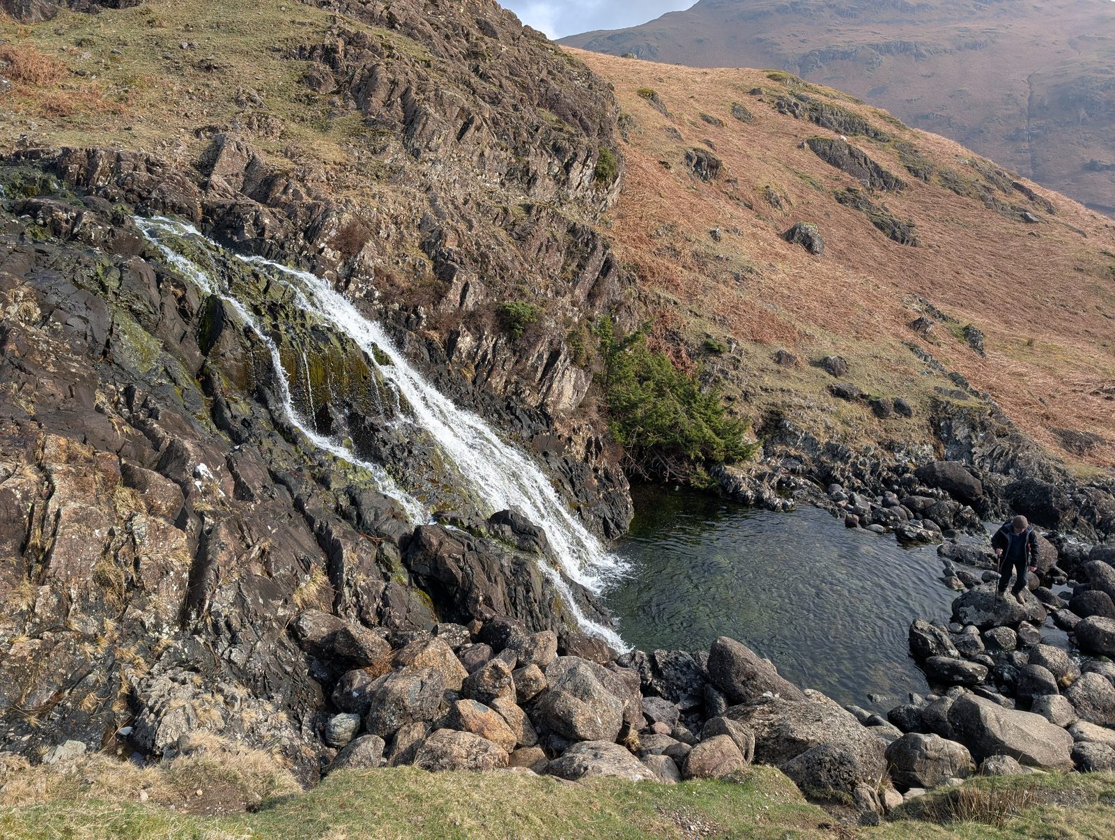
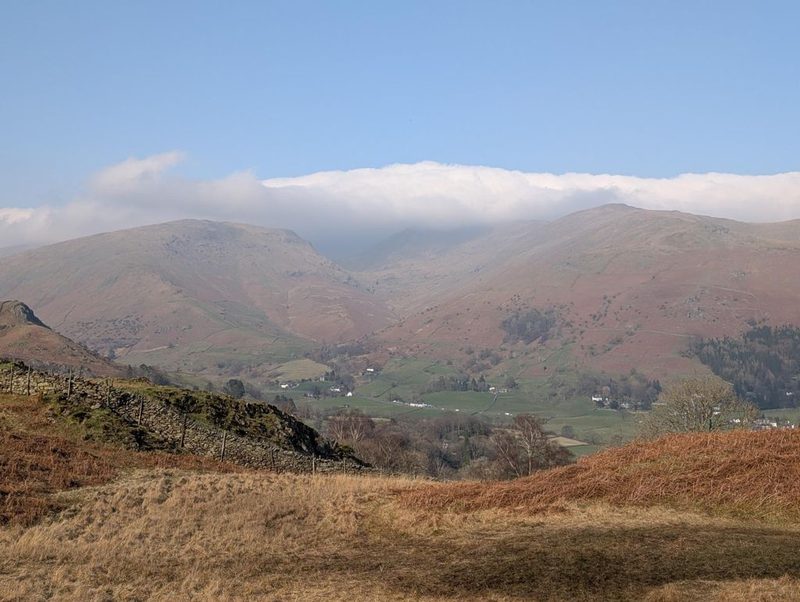
© Lee McCoy · 2 photographs - 2
Lang How → Swinescar Pike (0.6 km, 22 m)
Continue west from Lang How, dropping slightly into a shallow saddle before crossing the grassy and occasionally rocky ground to the summit cairn of Swinescar Pike
WaypointsLang How summit, Swinescar Hause (the dip), Swinescar Pike summit (411 m)
Decision pointFollow the natural high ground of the undulating ridge. The summit cairn on Swinescar Pike is obvious in clear weather, though be aware that a natural rock outcrop 200 m to the north-west is technically a couple of meters higher
Easy to get wrongA very short, mechanically easy transition. The primary obstacle here is the ground underfoot: the dips can harbor deep, wet peat hags and boggy patches, especially after heavy Lake District rain
If you need to get offRetreat south-east back to Lang How and descend your original ascent path. Do not attempt to drop blindly east or west off the ridge here, as the terrain becomes steep and trackless
- 3
Swinescar Pike → Castle How (Raw Pike) (1.5 km, 93 m)
Push further north-west along the high ground. The route weaves over and around several intermediate rocky bumps (such as Little Castle How and Great Castle How) before arriving at the prominent rocky top of Castle How (Raw Pike)
WaypointsSwinescar Pike, Little Castle How, Great Castle How, Castle How (Raw Pike) summit (500 m)
Decision pointUse the precipitous crags overlooking Easedale Tarn to your right (east) as a major boundary handrail, but maintain a safe distance from the edge. The cairn on Raw Pike serves as your ultimate target
Easy to get wrongThis section features a gentle 6% average gradient but requires constant micro-navigation over endless rocky knolls. The eastern edge drops precipitously towards Easedale. In thick clag, the sheer number of similar-looking rocky summits makes it incredibly easy to lose your bearings and walk in circles
If you need to get offIf visibility drops completely and navigation fails, carefully set a back-bearing south-east to return along the ridge toward Swinescar Pike. Avoid descending east toward the crags
Castle How (Raw Pike) → Finish (5.7 km, 15 m)
Leave the summit of Castle How (Raw Pike) and begin the long descent off the ridge. The line recorded here drops north-west off the summit before curving round to head east towards Easedale Tarn, following the watercourse back into Grasmere. Some loops instead drop down into the Langdale valley, but that is not the descent walked here
WaypointsCastle How (Raw Pike), descent path (e.g., Blea Rigg / Easedale Tarn), valley floor tracks, Finish
Decision pointIf descending the eastern side, Easedale Tarn is a massive, unmistakable visual catch feature. From the tarn, the gill provides a clear, natural handrail all the way to the valley floor
Easy to get wrongA massive, sustained descent to finish the day. The upper rocky steps off the ridge can be slick, requiring careful footwork. Lower down, pitched paths near gills (like Sour Milk Gill) often feature polished rock that is highly treacherous when wet. The 15 m of minor ascent is distributed over the rolling lower valley tracks
If you need to get offYou are on the final exit route. Simply continue the descent, ensuring you commit to the correct valley (Grasmere vs. Langdale) early on to avoid trapping yourself on the wrong side of the massif and facing a massive road walk back to your car
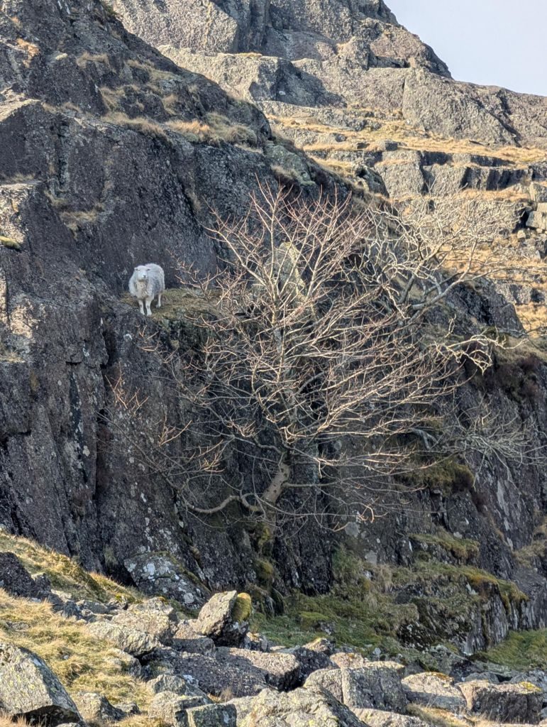
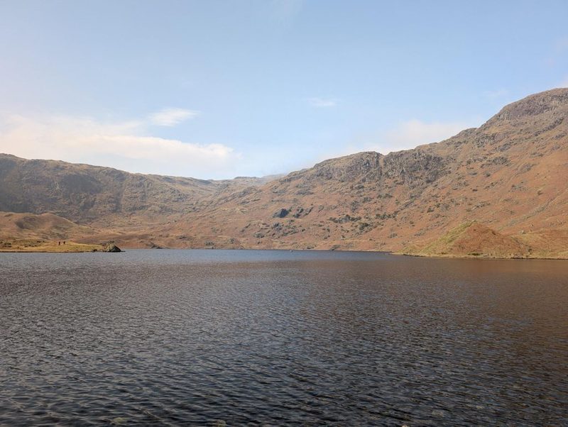
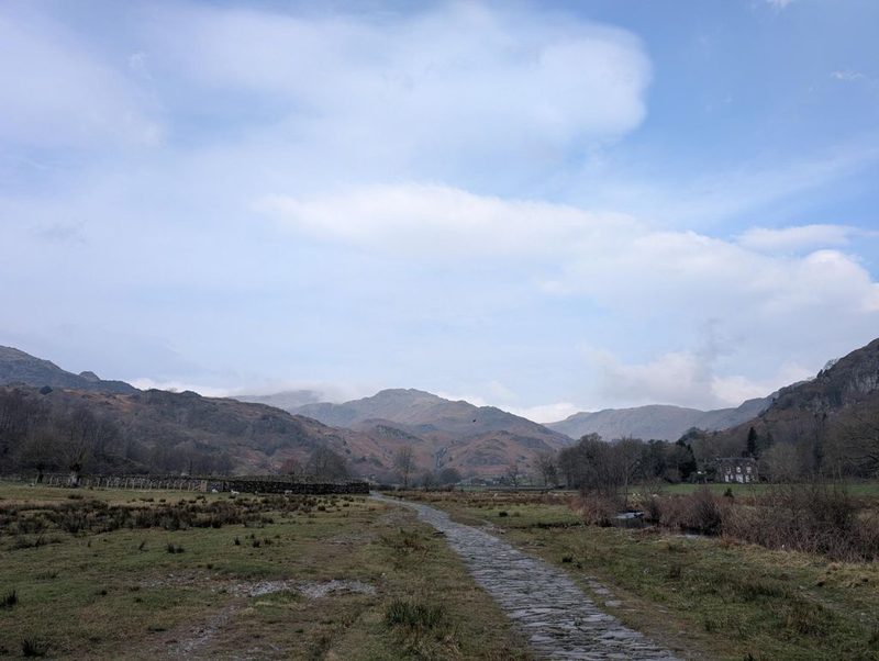
© Lee McCoy · 3 photographs


Summits bagged (3)
- 1Lang How414 m
- 2Swinescar Pike411 m
- 3Castle How (Raw Pike)498 m
In the order you walk them — the same numbers the elevation profile, the stage notes and the pacing table use.
Getting there & parking
Positions are approximate.
Vehicles are left entirely at their owner’s risk. We list places people park; we cannot vouch for any of them. Judge it on the day: take valuables with you, leave nothing on show, and if a spot feels wrong when you get there, park somewhere else.
Every option near this start, on the parking map →
Water, shelter & getting away
On-route facilities © OpenStreetMap contributors — an absent marker does not mean the facility isn’t there.
Buses
The 555 stops at Grasmere, at School, 80 m from this start. Last bus: Monday to Friday 20:46 towards Keswick (555); Saturday 20:46 towards Keswick (555); Sunday 18:36 towards Keswick (555). Checked against the operator’s timetable, 12 September 2026. Times here are a guide, not a promise — leave yourself more than the minute.
The 555 passes this route at 0.1 km (Grasmere School (near), 0 m off the line). Other services cross it too — 516 at 4.1 km.
Rural routes change seasonally — confirm on stagecoachbus.com (opens in new tab) or Traveline before travelling.
If the parking is full
There is no real plan B here. Every place we know beside this route serves the same walks and sits close together, so if one is full the others usually are too. Worth starting early, or having a different walk in mind before you set off.
- Stock Lane Car & Coach Park (LDNPA, paid)
- Grasmere, roadside layby (free)
- Silver How (layby)
Worked out from the parking we hold within walking reach of this route and the other walks each place serves — two places that serve the same walks fill for the same reasons. We are not saying whether anywhere has spaces today, and we never will: this is what exists, not what is free.
Toilets and refreshments
At Stock Lane Car & Coach Park (LDNPA, paid), the closest parking we hold to where this route starts:
Distances are straight lines from the car park, not walking routes. Opening hours change; none of this is checked daily.
Safety & conditions
Check live conditions in the “From the fells” panel, on MWIS (opens in new tab) and the Met Office mountain forecast (opens in new tab) before you set off.
Make it easier or harder
Short version: turn back at about 4.1 km (drop to Start) — roughly half the distance.
Places to stay near this start
From Grasmere: 11 places
