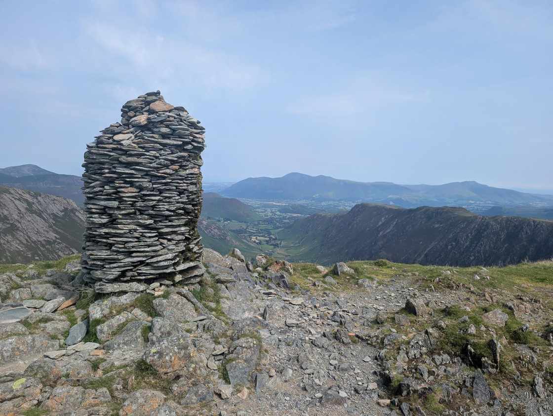
Lake District fells you can reach by bus
You don't need a car to climb a Lakeland fell. These are the summits with a bus stop close enough to the start to make a car-free day genuinely workable — served by the main valley routes like the 555 (Kendal–Windermere–Ambleside–Grasmere–Keswick), the 505 (Coniston), the X4/X5 (Penrith–Keswick–Cockermouth), the 508 (Ullswater), the 77/78 (Borrowdale & the Honister Rambler) and the seasonal open-top services. Each fell carries its live conditions, so you can pick one that's good to climb today and leave the car behind. Bus times are the catch, not the walking — always check the operator's live timetable before you set off, as rural Lakeland services change with the season.
0 of these are rated good to climb on 27 July — see live conditions →
A prediction from our daily fell score (clear summits, wind, rain, visibility), not a guarantee — always check the mountain forecast before you go.
Map
● fells within ~5 km
An interactive map of the route start points and the fells within about 5 km. Each marker links to its page; the same routes and fells are listed below.
- Nethermost PikeEastern891 m~4 h🚌 BusMarginal · 40Summit likely clagged in
- Blencathra - Hallsfell TopNorthern868 m~4 h🚌 BusMarginal · 40Summit likely clagged in
- Dollywaggon PikeEastern858 m~3.5 h🚌 BusMarginal · 40Summit likely clagged in
- High StileWestern806 m~4.5 h🚌 BusMarginal · 40Summit likely clagged in
- Grisedale PikeNorth Western790 m~3.5 h🚌 BusMarginal · 40Summit likely clagged in
- Red ScreesEastern779 m~3.5 h🚌 BusMarginal · 40Summit likely clagged in
- Red Pike (Buttermere)Western755 m~3.5 h🚌 BusMarginal · 40Summit likely clagged in
- Dale HeadNorth Western754 m~3.5 h🚌 BusMarginal · 40Summit likely clagged in
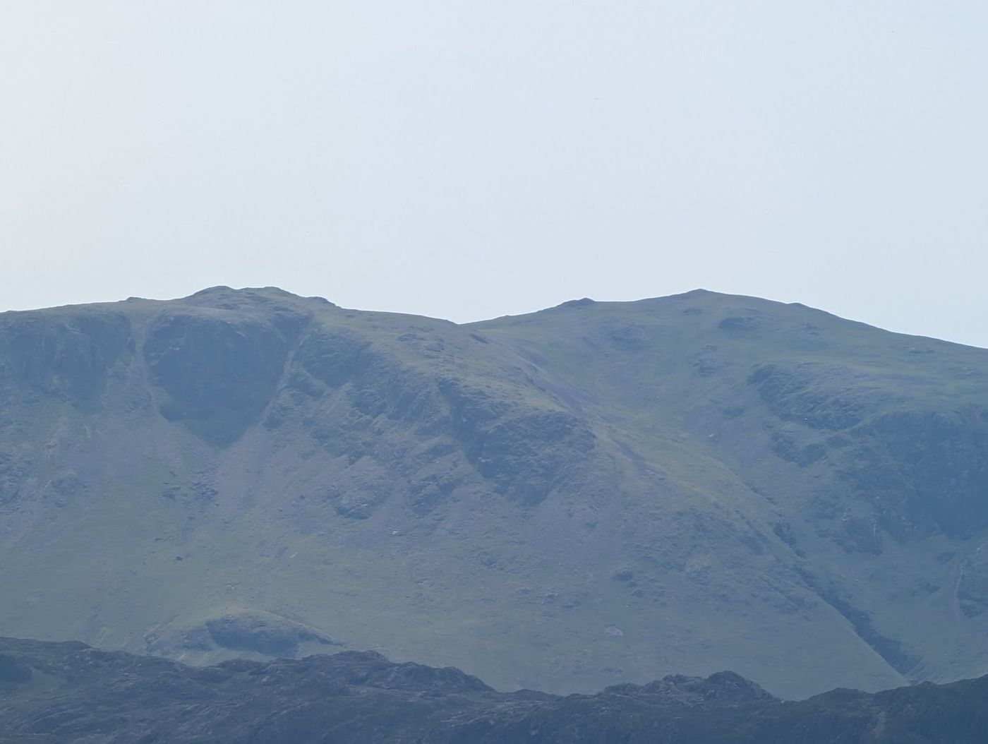 High Crag (Buttermere)Western745 m~5 h🚌 BusMarginal · 40Summit likely clagged in
- RobinsonNorth Western738 m~3 h🚌 BusMarginal · 40Summit likely clagged in
- Seat SandalEastern737 m~3 h🚌 BusMarginal · 40Summit likely clagged in
- Harrison StickleCentral735 m~3 h🚌 BusMarginal · 40Summit likely clagged in
- Thunacar KnottCentral723 m~3 h🚌 BusMarginal · 40Summit likely clagged in
- Pavey ArkCentral702 m~3 h🚌 BusMarginal · 40Summit likely clagged in
- Grey KnottsWestern697 m~4.5 h🚌 BusMarginal · 40Summit likely clagged in
- Bannerdale CragsNorthern684 m~3 h🚌 BusMarginal · 40Summit likely clagged in
- Whiteless PikeNorth Western660 m~3 h🚌 BusMarginal · 40Summit likely clagged in
- Place FellFar Eastern657 m~3 h🚌 BusMarginal · 40Summit likely clagged in
- Middle DoddEastern654 m~3 h🚌 BusMarginal · 40Summit likely clagged in
- Fleetwith PikeWestern649 m~2.5 h🚌 BusMarginal · 40Summit likely clagged in
- Little Hart Crag (Little Hart Crag - West Top)Eastern637 m~3 h🚌 BusMarginal · 40Summit likely clagged in
- BirksEastern624 m~3 h🚌 BusMarginal · 40Summit likely clagged in
- Hartsop DoddFar Eastern619 m~2.5 h🚌 BusMarginal · 40Summit likely clagged in
- Heron Pike (Rydal)Eastern612 m~3 h🚌 BusMarginal · 40Summit likely clagged in
- Bleaberry FellCentral590 m~2.5 h🚌 BusMarginal · 40Summit likely clagged in
- Angletarn Pikes (Angletarn Pikes North Top)Far Eastern566 m~2.5 h🚌 BusMarginal · 40Summit likely clagged in
- Brock Crags (Wainwright)Far Eastern561 m~2.5 h🚌 BusMarginal · 40Summit likely clagged in
- Steel Fell (Dead Pike - Steel Fell)Central553 m~2.5 h🚌 BusMarginal · 40Summit likely clagged in
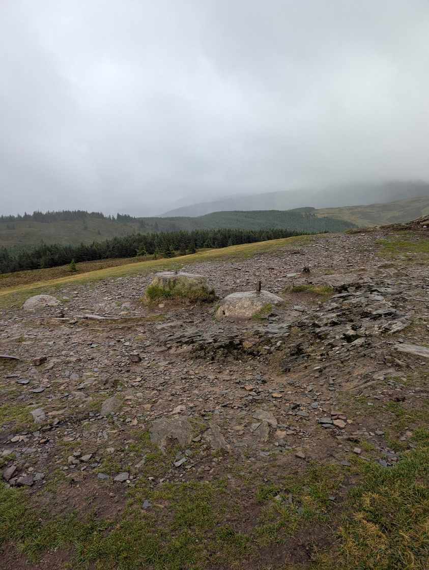 Lord's SeatNorth Western552 m~2.5 h🚌 BusMarginal · 40Summit likely clagged in
- Rosthwaite Fell - BessybootSouthern551 m~2.5 h🚌 BusMarginal · 40Summit likely clagged in
- Blea RiggCentral542 m~2.5 h🚌 BusMarginal · 40Summit likely clagged in
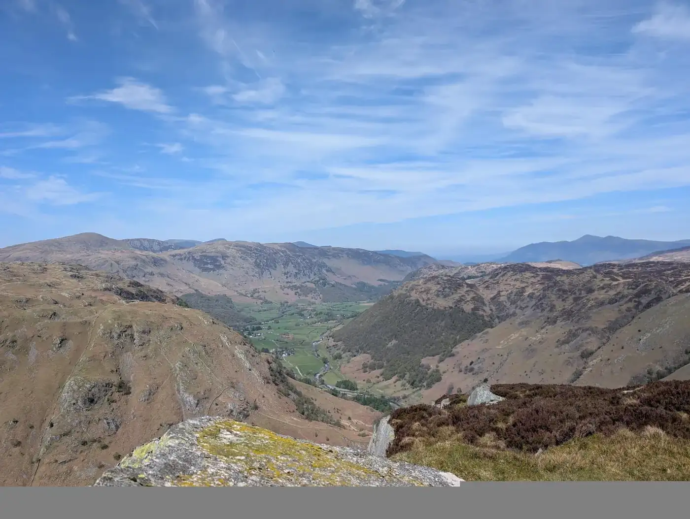 Eagle CragCentral523 m~2.5 h🚌 BusMarginal · 40Summit likely clagged in
- Whinlatter (Brown How - Whinlatter)North Western517 m~2.5 h🚌 BusMarginal · 40Summit likely clagged in
- Low PikeEastern508 m~2.5 h🚌 BusMarginal · 40Summit likely clagged in
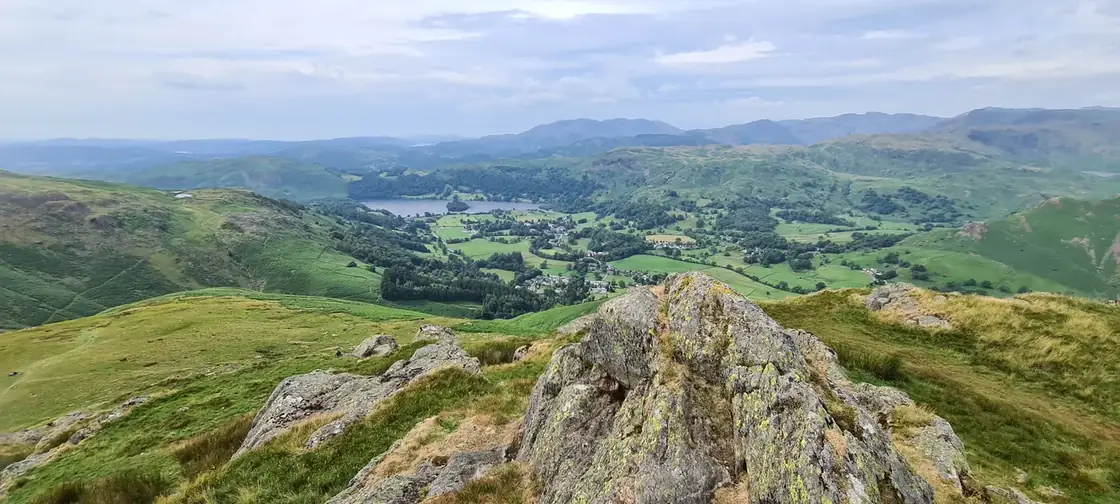 Stone ArthurEastern504 m~2 h🚌 BusMarginal · 40Summit likely clagged in
- Sour HowesFar Eastern483 m~2.5 h🚌 BusMarginal · 40Summit likely clagged in
- Gowbarrow Fell (Wainwright summit)Eastern481 m~2 h🚌 BusMarginal · 40Summit likely clagged in
- Armboth Fell (Armboth Fell South Top)Central475 m~2.5 h🚌 BusMarginal · 40Summit likely clagged in
- Lingmoor Fell (Brown How)Southern470 m~2.5 h🚌 BusMarginal · 40Summit likely clagged in
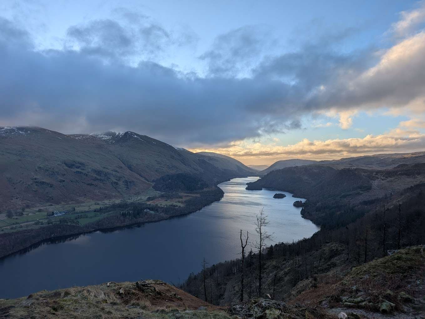 Raven CragCentral461 m~2.5 h🚌 BusMarginal · 40Summit likely clagged in
- BarrowNorth Western455 m~2 h🚌 BusMarginal · 40Summit likely clagged in
- Cat Bells (Catbells)North Western451 m~2.5 h🚌 BusMarginal · 40Summit likely clagged in
- Nab ScarEastern450 m~2 h🚌 BusMarginal · 40Summit likely clagged in
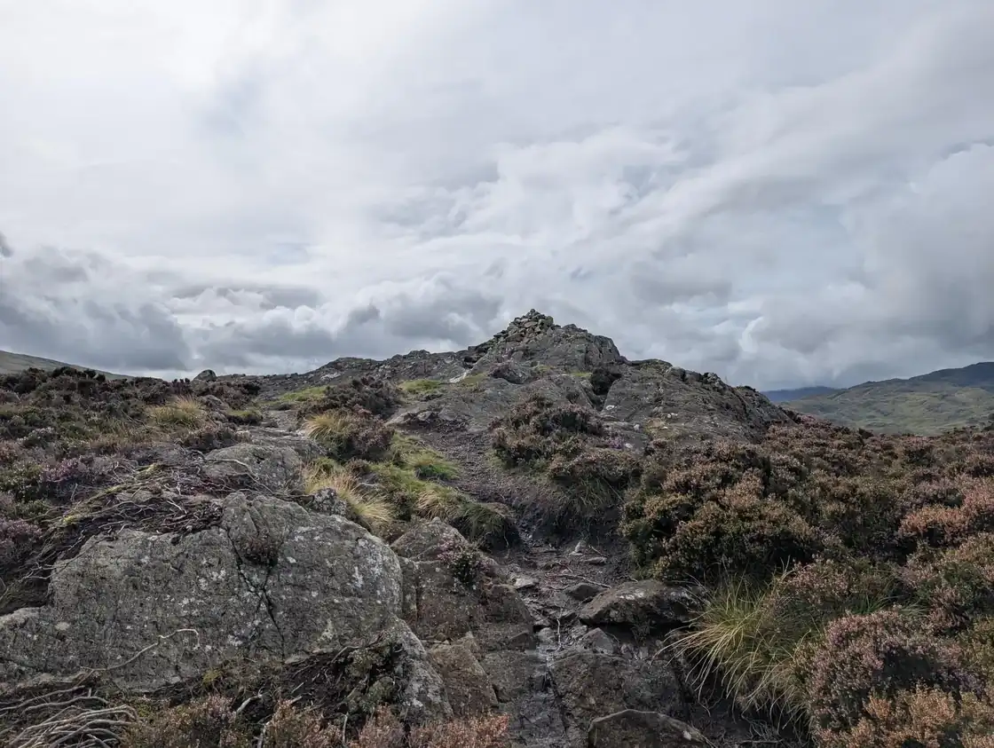 Great Crag (Stonethwaite)Central449 m~2.5 h🚌 BusMarginal · 40Summit likely clagged in
- Glenridding DoddEastern442 m~2 h🚌 BusMarginal · 40Summit likely clagged in
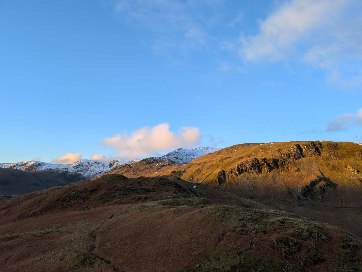 Arnison CragEastern433 m~2 h🚌 BusMarginal · 40Summit likely clagged in
- Grange Fell (Brund Fell)Central417 m~2 h🚌 BusMarginal · 40Summit likely clagged in
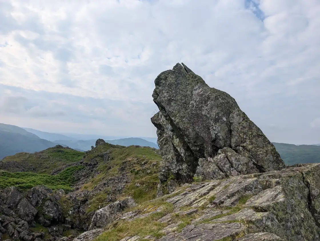 Helm CragCentral405 m~2 h🚌 BusMarginal · 40Summit likely clagged in
- Silver HowCentral394 m~2 h🚌 BusMarginal · 40Summit likely clagged in
- Walla CragCentral379 m~2 h🚌 BusMarginal · 40Summit likely clagged in
- LatriggNorthern369 m~1.5 h🚌 BusMarginal · 40Summit likely clagged in
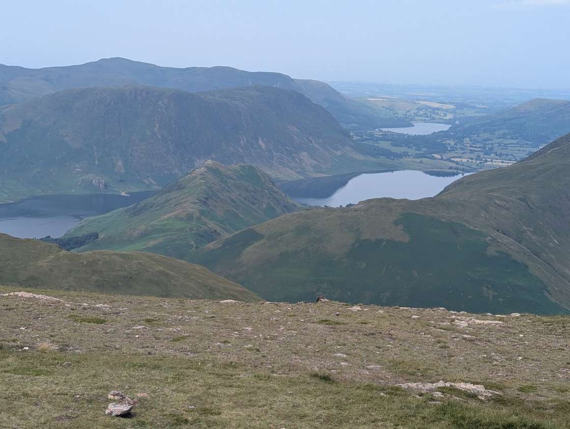 Rannerdale KnottsNorth Western355 m~1.5 h🚌 BusMarginal · 40Summit likely clagged in
- Loughrigg FellCentral335 m~2 h🚌 BusMarginal · 40Summit likely clagged in
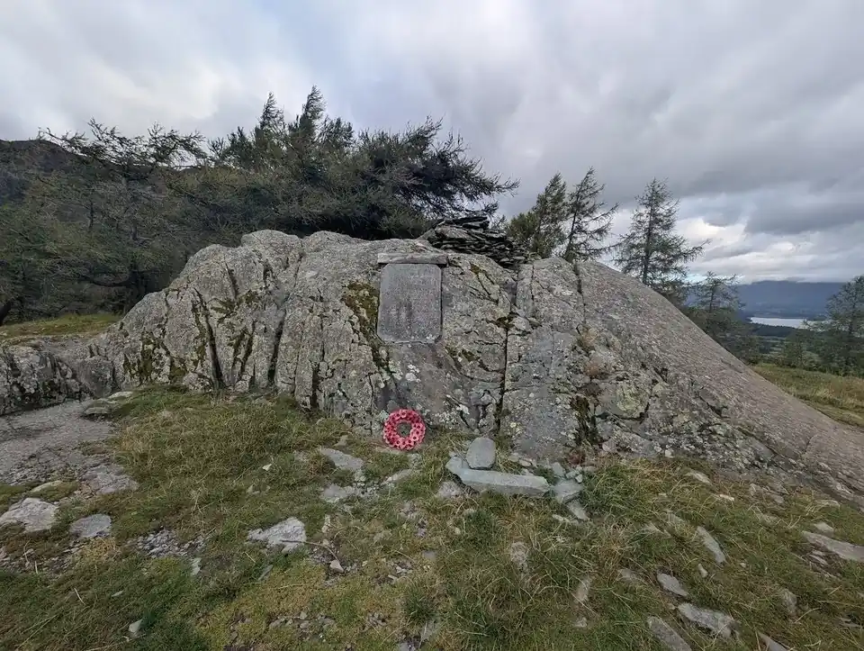 Castle CragNorth Western290 m~2 h🚌 BusMarginal · 40Summit likely clagged in
- Haystacks (Buttermere)Western597 m~4 h🚌 BusMarginal · 39Summit likely clagged in
- BrandrethWestern715 m~4.5 h🚌 BusMarginal · 38Summit likely clagged in
- Pike of StickleCentral708 m~3 h🚌 BusMarginal · 38Summit likely clagged in
- Loft CragCentral682 m~3 h🚌 BusMarginal · 38Summit likely clagged in
- Base BrownWestern646 m~4.5 h🚌 BusMarginal · 38Summit likely clagged in
- White SideEastern863 m~3.5 h🚌 BusMarginal · 37Summit likely clagged in
- Green GableWestern800 m~4.5 h🚌 BusMarginal · 37Summit likely clagged in
- Sheffield PikeEastern676 m~3 h🚌 BusMarginal · 37Summit likely clagged in
- Watson's DoddEastern789 m~3.5 h🚌 BusMarginal · 35Summit likely clagged in
- Pike of BliscoSouthern703 m~3 h🚌 BusMarginal · 35Summit likely clagged in
- Stybarrow DoddEastern844 m~3.5 h🚌 BusSave it · 34Summit likely clagged in
- GlaramaraSouthern783 m~5 h🚌 BusSave it · 34Summit likely clagged in
- Seathwaite Fell (Wainwright summit)Southern601 m~2.5 h🚌 BusSave it · 34Summit likely clagged in
- HelvellynEastern950 m~5 h🚌 BusSave it · 20Too windy for the tops
Nothing matches those filters — .