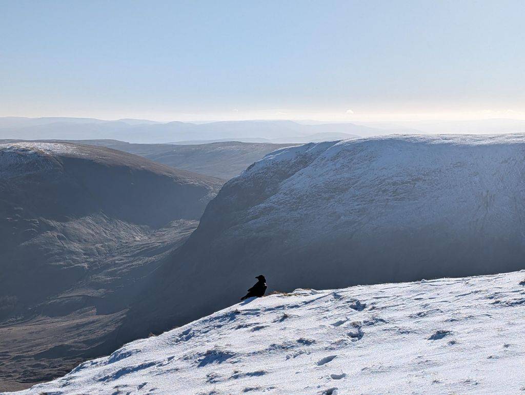
Walking the Far Eastern Fells
The Wainwright and Outlying fells we group as the Far Eastern area of the Lake District — each with its height, a typical round time, the bus where there’s one, and today’s predicted conditions. Grouped by our own area tag (a practical guide, not a fixed authored canon). Check the live conditions and the mountain forecast before the tops.
0 of these are rated good to climb on 12 September — see live conditions →
A prediction from our daily fell score (clear summits, wind, rain, visibility), not a guarantee — always check the mountain forecast before you go.
- Too windy for the topsHigh Street828 m~5 hSave it · 20High Street at 828m (2,717ft) takes its name from the Roman road that ran along its broad summit ridge — an ancient highway traversed by legions and drovers alike for 2,000 years.
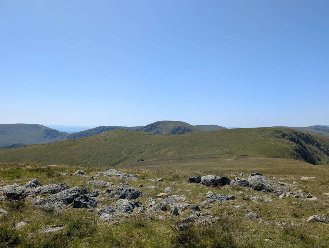 Too windy for the topsHigh Raise (High Street)804 m~3.5 hSave it · 19High Raise at 802m (2,631ft) above Haweswater is the northern hub of the High Street range, from whose broad summit the ridges fan out to Kidsty Pike, Rampsgill Head and the Loadpot Hill plateau.
- Too windy for the topsRampsgill Head792 m~5 hSave it · 20Rampsgill Head at 792m (2,598ft) stands above the head of the wild Rampsgill valley above Martindale, a broad summit giving excellent views down the glaciated trough and across to the Ullswater fells.
- Too windy for the topsThornthwaite Crag784 m~3.5 h🚌 BusSave it · 20Thornthwaite Crag at 784m (2,572ft) is one of the most distinctive summits in the Far Eastern Fells, capped by a massive stone beacon — a tall, cylindrical pillar visible from miles around.
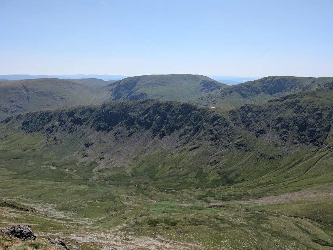 Too windy for the topsKidsty Pike781 m~5 hSave it · 20Kidsty Pike at 780m (2,559ft) is the sharply pointed summit above Haweswater, its rocky east face dropping steeply to the reservoir below in a dramatic sweep of scree and crag.
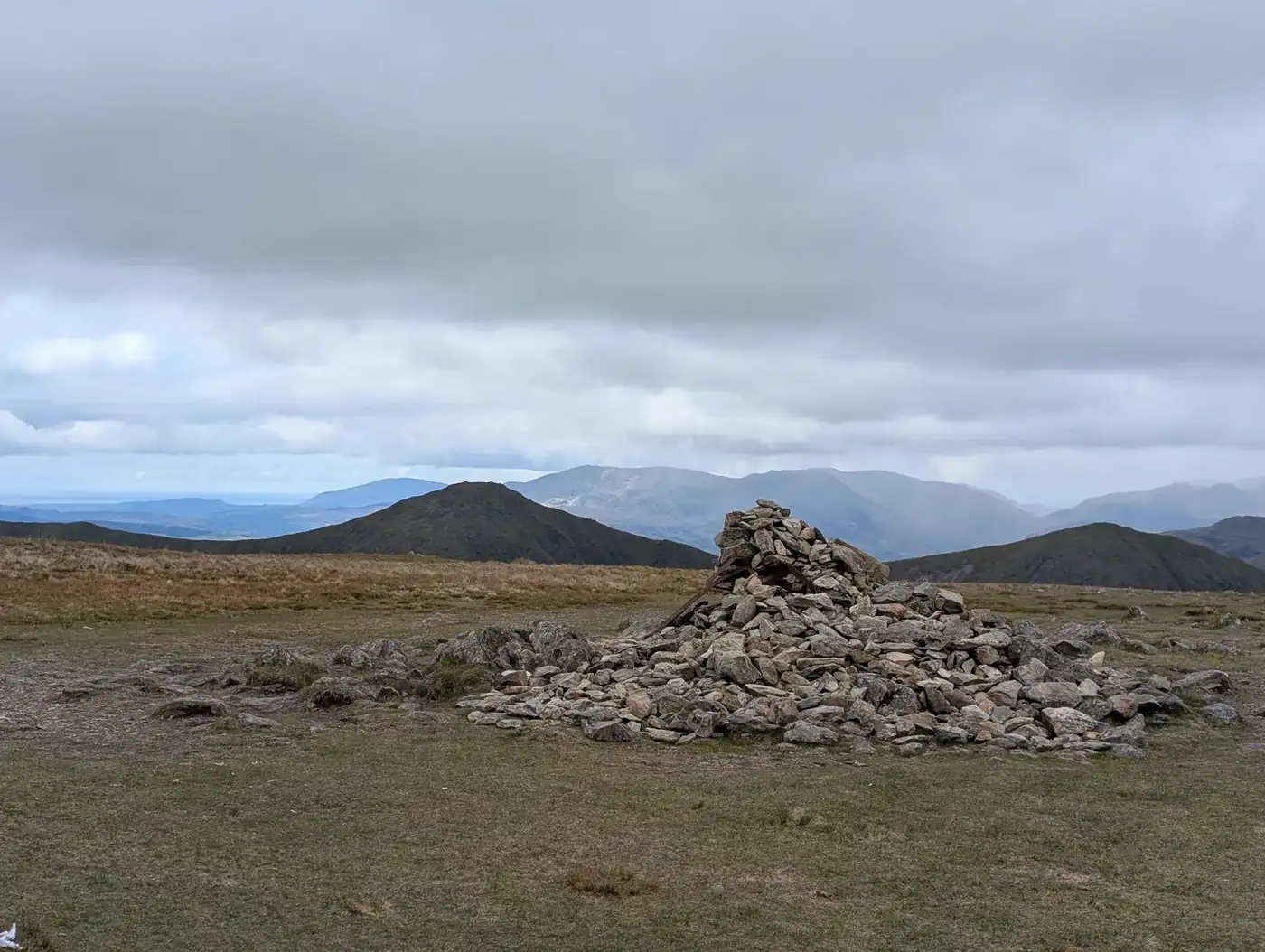 Too windy for the topsHarter Fell (Mardale)779 m~3.5 hSave it · 20Harter Fell (Mardale) at 778m (2,552ft) stands above the south-eastern shore of Haweswater, its summit giving outstanding views of the reservoir and the high Lakeland fells beyond.
- Too windy for the topsStony Cove Pike (Caudale Moor)764 m~3.5 h🚌 BusSave it · 20Stony Cove Pike at 764m (2,507ft), also known as Caudale Moor, is a Wainwright summit in the Far Eastern Fells above the Kirkstone Pass, its broad summit plateau giving extensive views across the eastern fells and towards the Pennines.
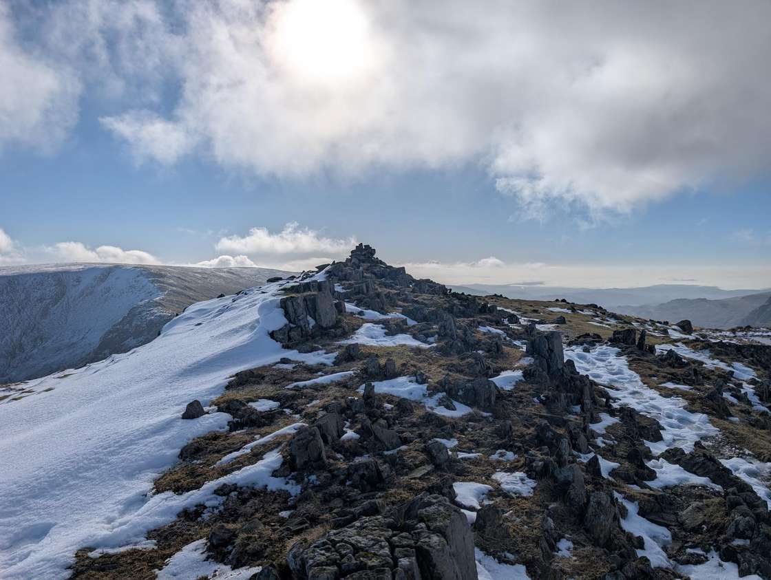 Too windy for the topsMardale Ill Bell761 m~3.5 hSave it · 19Mardale Ill Bell at 760m (2,495ft) is the southern end of the High Street massif above Mardale Head, a rocky summit with fine views of Haweswater and the Kentmere Horseshoe.
- Too windy for the topsIll Bell757 m~3.5 h🚌 BusSave it · 20Ill Bell at 757m (2,484ft) is the highest of the classic Kentmere Horseshoe ridge, a shapely, rocky summit with a wonderful collection of cairns and fine views south to Windermere and the Kent estuary.
- Too windy for the topsThe Knott (High Street)739 m~3 hSave it · 20The Knott at 739m (2,425ft) stands above Hayeswater tarn, the highest and most secluded of the Eastern Fell tarns.
- Too windy for the topsKentmere Pike730 m~3 hSave it · 18Kentmere Pike at 730m (2,395ft) is the eastern anchor of the Kentmere Horseshoe, a broad, grassy summit giving outstanding views east across the Shap Fells and south down the Kentmere valley.
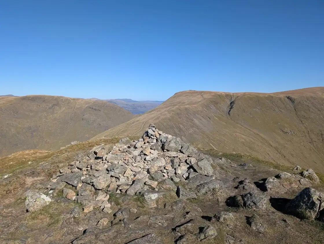 Too windy for the topsFroswick720 m~3 h🚌 BusSave it · 20Froswick at 720m (2,362ft) is the middle summit of the Ill Bell ridge above Troutbeck, a pointed peak with a surprisingly shapely profile when viewed from the Troutbeck valley below.
- Too windy for the topsBranstree712 m~3 hSave it · 17Branstree at 713m (2,339ft) is a broad, featureless summit on the moorland plateau east of Haweswater, giving extensive views east to the Pennines and south across the Shap Fells.
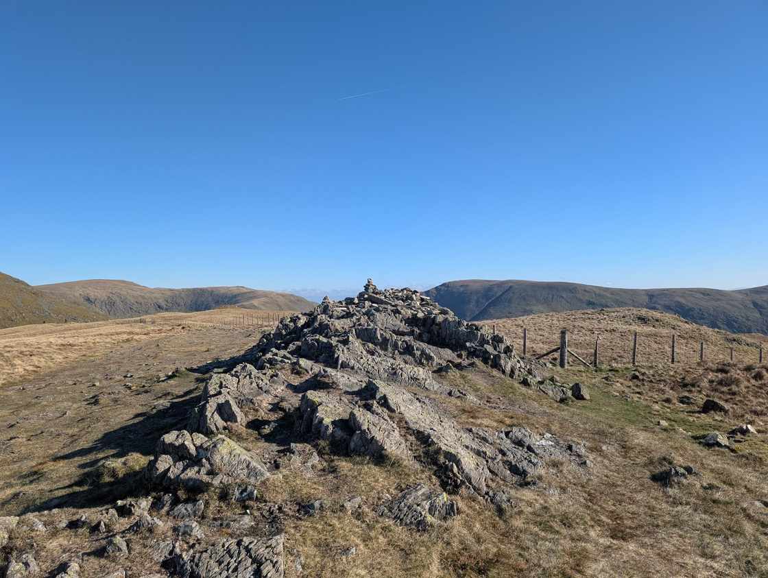 Too windy for the topsYoke707 m~3 h🚌 BusSave it · 20Yoke at 706m (2,316ft) is the southernmost summit of the Ill Bell ridge, a grassy shoulder above Troutbeck with fine views south to Windermere.
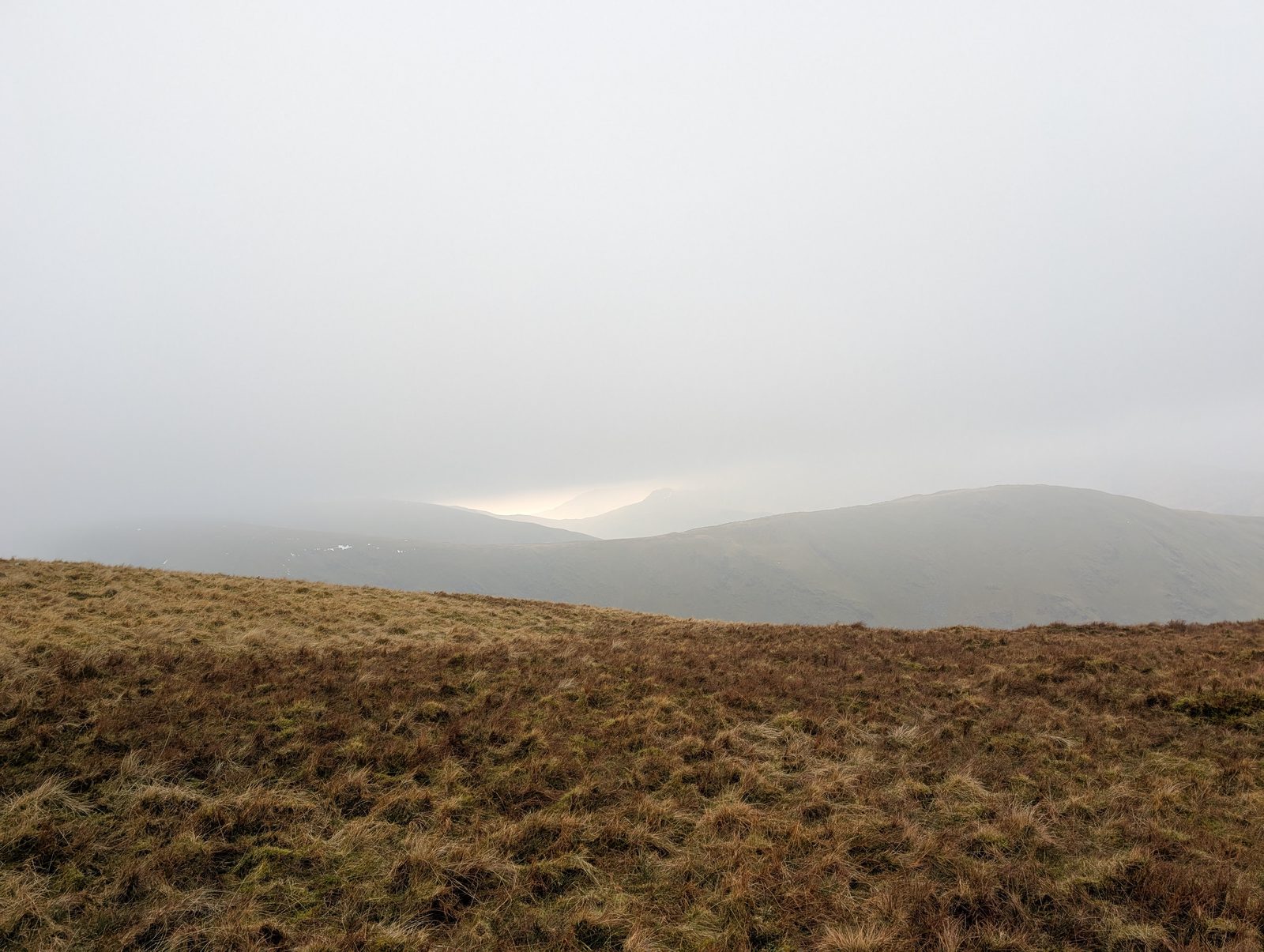 Too windy for the topsGray Crag698 m~3 h🚌 BusSave it · 20Gray Crag at 638m (2,093ft) stands above Hayeswater and Hartsop, its steep eastern face dropping to the Hayeswater valley in a series of crags.
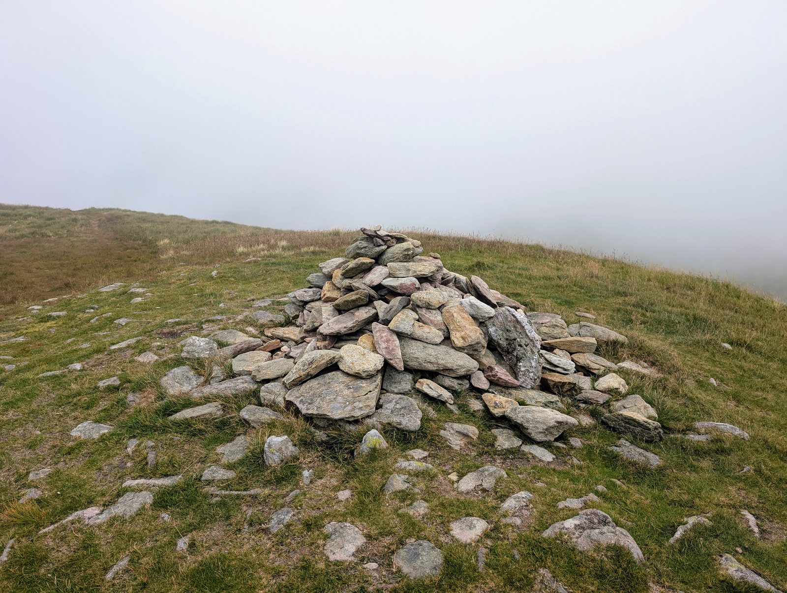 Too windy for the topsRest Dodd696 m~3 h🚌 BusSave it · 18Rest Dodd at 696m (2,283ft) is an isolated summit above Patterdale, separated from the main High Street range by the hollow of Boardale Hause.
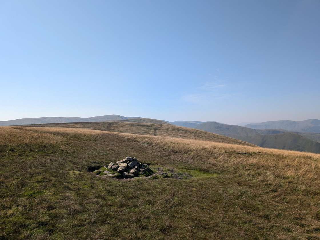 Too windy for the topsWether Hill672 m~3 h🚌 BusSave it · 20Wether Hill at 671m (2,201ft) is an intermediate summit on the High Street plateau between Loadpot Hill and High Raise, its broad, grassy top passing almost unnoticed on the main ridge path.
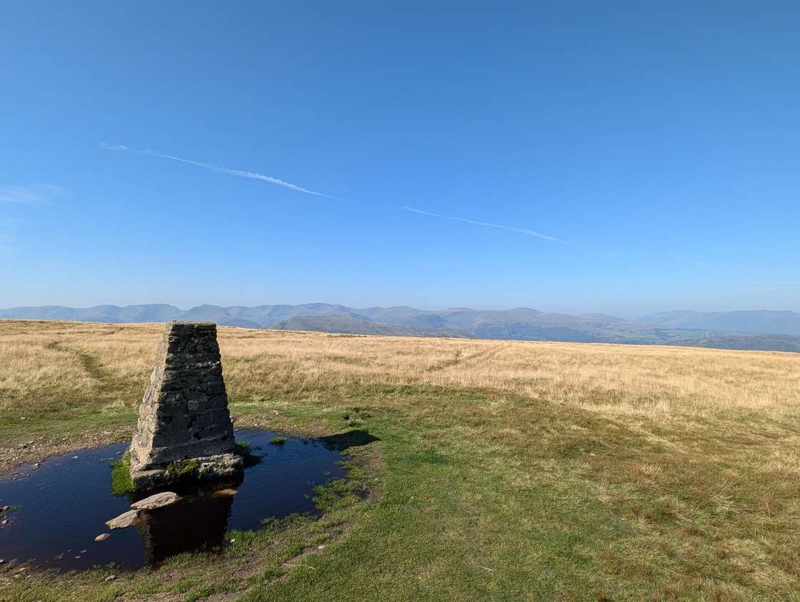 Too windy for the topsLoadpot Hill672 m~3 h🚌 BusSave it · 20Loadpot Hill at 671m (2,201ft) is the northern summit of the High Street plateau above Ullswater, the site of a ruined Roman turret on the ancient road that runs along the ridge.
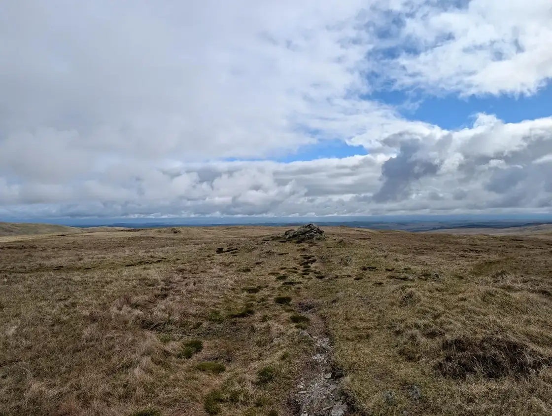 Too windy for the topsTarn Crag (Sleddale)664 m~3 hSave it · 18Tarn Crag at 664m (2,178ft) in Sleddale is a broad, grassy summit on the remote moorland east of Shap, giving wide views across the Shap Fells to the Pennines.
 Too windy for the topsPlace Fell657 m~3 h🚌 BusSave it · 20Place Fell at 657m (2,156ft) is the great ridge fell on the eastern shore of Ullswater, its long summit ridge giving one of the finest views of the lake in all Lakeland.
- Too windy for the topsSelside Pike655 m~3 hSave it · 18Selside Pike is a quiet, grassy Wainwright on the high watershed between Haweswater and Swindale, in the lonely Far Eastern Fells.
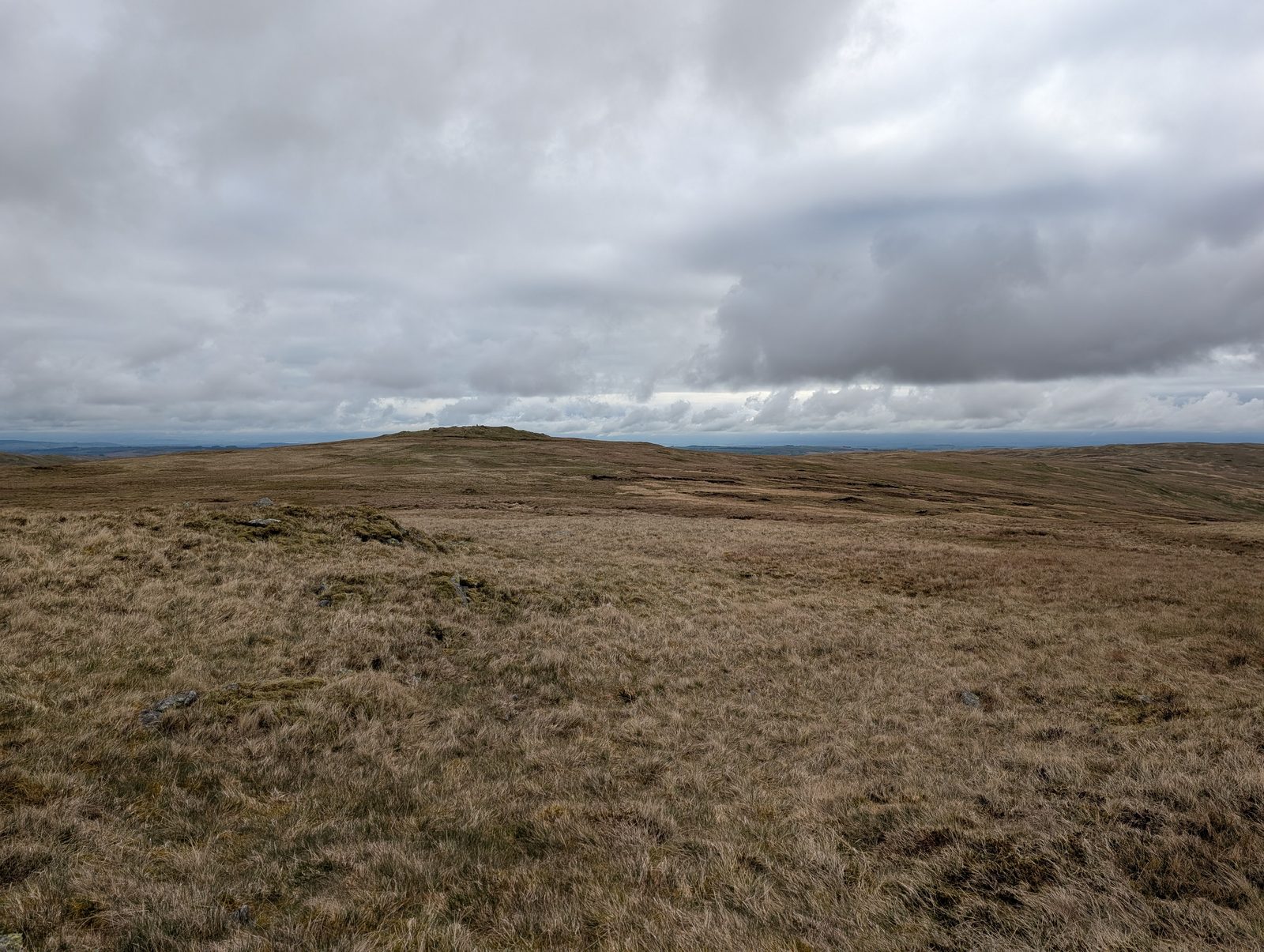 Too windy for the topsGrey Crag (Sleddale Fell)638 m~3 hSave it · 18Grey Crag at 638m (2,093ft) is the summit of Sleddale Fell, a Wainwright in the Far Eastern Fells above the remote Longsleddale valley.
- Too windy for the topsHartsop Dodd619 m~2.5 h🚌 BusSave it · 20Hartsop Dodd at 618m (2,028ft) is a grassy ridge summit above Hartsop village, its long slope rising to a broad top with fine views of Brothers Water and the Patterdale valley below.
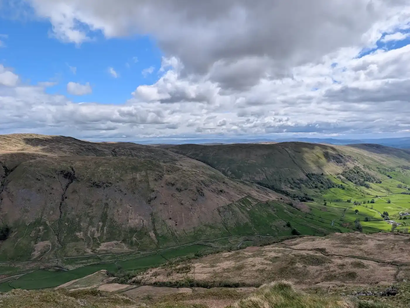 Summit likely clagged inShipman Knotts587 m~2.5 hSave it · 19Shipman Knotts at 587m (1,926ft) is a neat, rocky summit above the Kentmere valley, the southernmost point of the Kentmere Horseshoe.
 Too windy for the topsThe Nab576 m~5 h🚌 BusSave it · 17The Nab at 576m (1,890ft) stands above the head of Martindale, its slopes forming part of the Martindale deer forest — one of the few remaining red deer forests in England.
 Too windy for the topsAngletarn Pikes (Angletarn Pikes North Top)566 m~2.5 h🚌 BusSave it · 20Angletarn Pikes at 567m (1,860ft) are twin rocky summits above Angle Tarn — the perfect mountain tarn, cupped in a dramatic hollow above Patterdale.
 Too windy for the topsBrock Crags (Wainwright)561 m~2.5 h🚌 BusSave it · 20Brock Crags at 561m (1,841ft) is a craggy little summit above Hayeswater, sitting between Angletarn Pikes and Rest Dodd on the ridge above Patterdale.
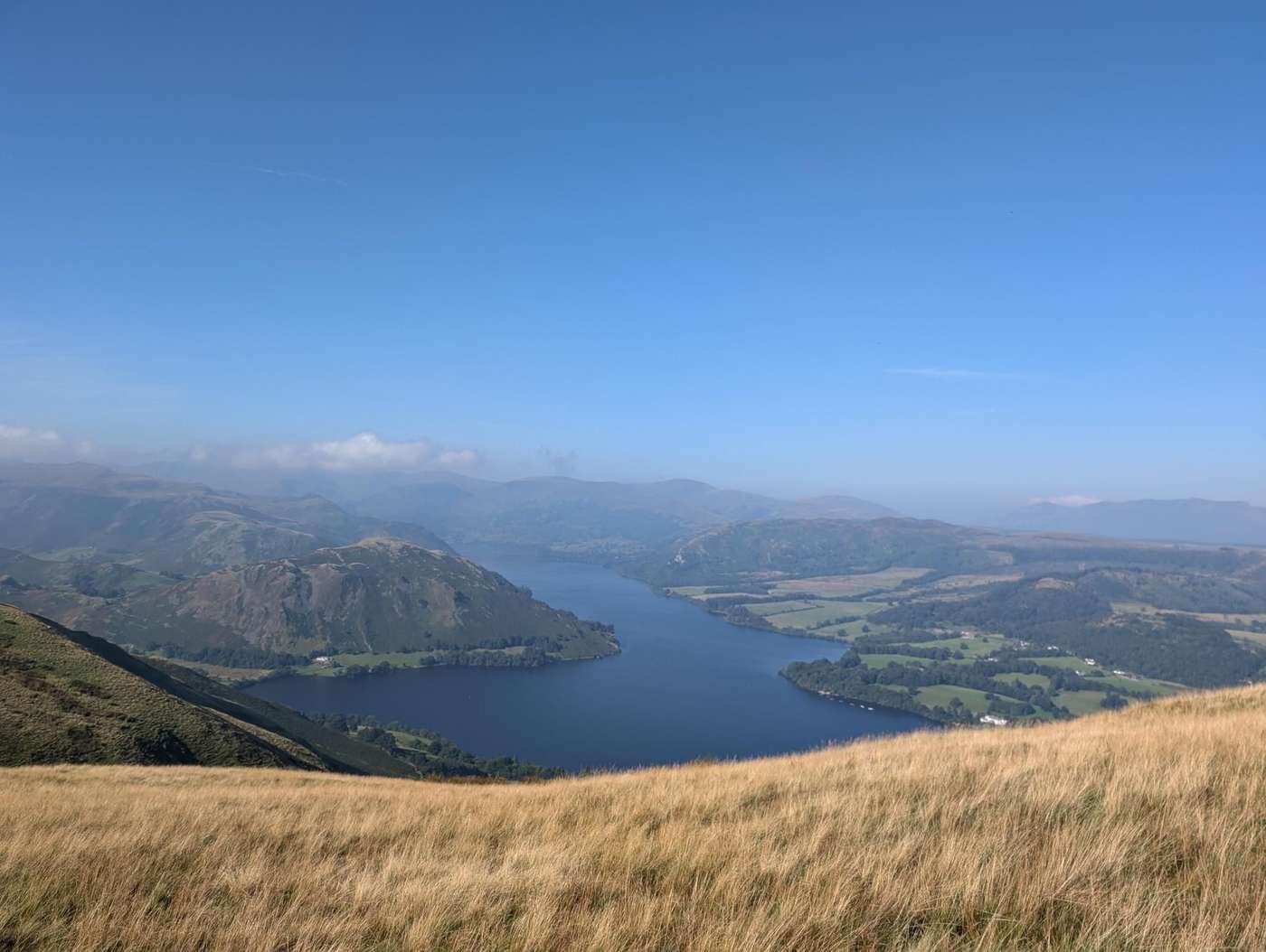 Too windy for the topsArthur's Pike533 m~2.5 h🚌 BusSave it · 20Arthur's Pike at 533m (1,749ft) is a grassy summit above Ullswater's western shore, giving fine views of the lake from its open top.
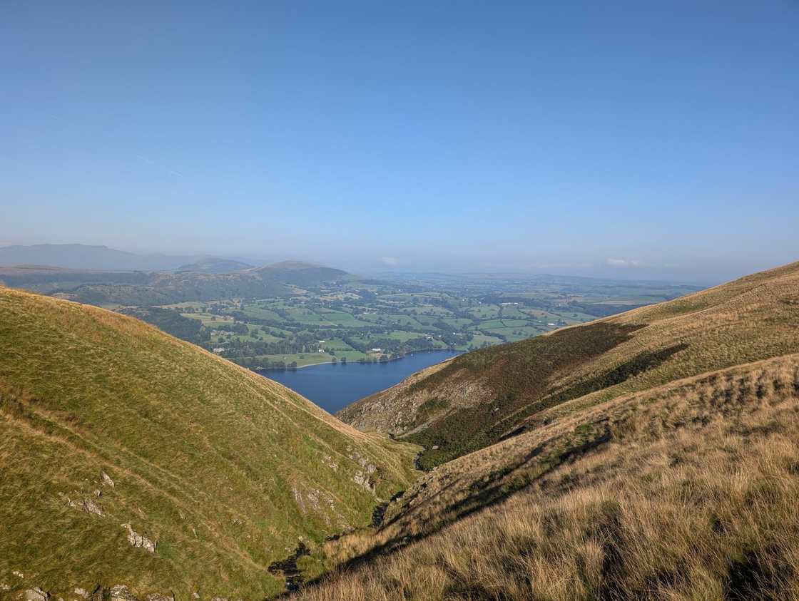 Too windy for the topsBonscale Pike524 m~2.5 h🚌 BusSave it · 20Bonscale Pike at 524m (1,719ft) stands above Ullswater's western shore, its grassy summit giving fine views of the lake's southern reach and across to the Helvellyn range.
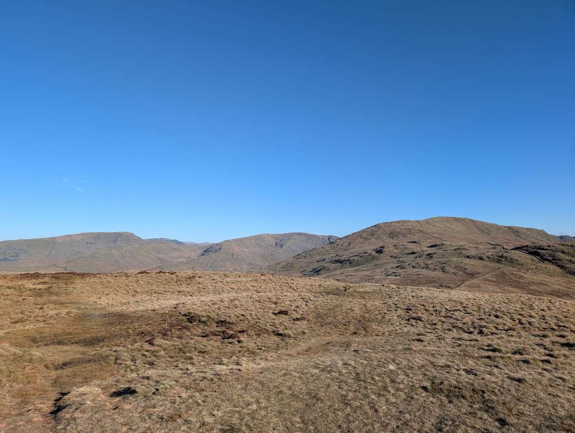 Summit likely clagged inSallows516 m~2.5 h🚌 BusSave it · 21Sallows at 516m (1,693ft) is a smooth, grassy summit on the Kentmere ridge above the Troutbeck valley, its open top giving views south to Windermere and east to the Kentmere fells.
 Too windy for the topsBeda Fell (Beda Head)509 m~2.5 h🚌 BusSave it · 20Beda Fell at 509m (1,670ft) is a long, smooth ridge above Martindale, its summit giving outstanding views of Ullswater and the northern Eastern Fells.
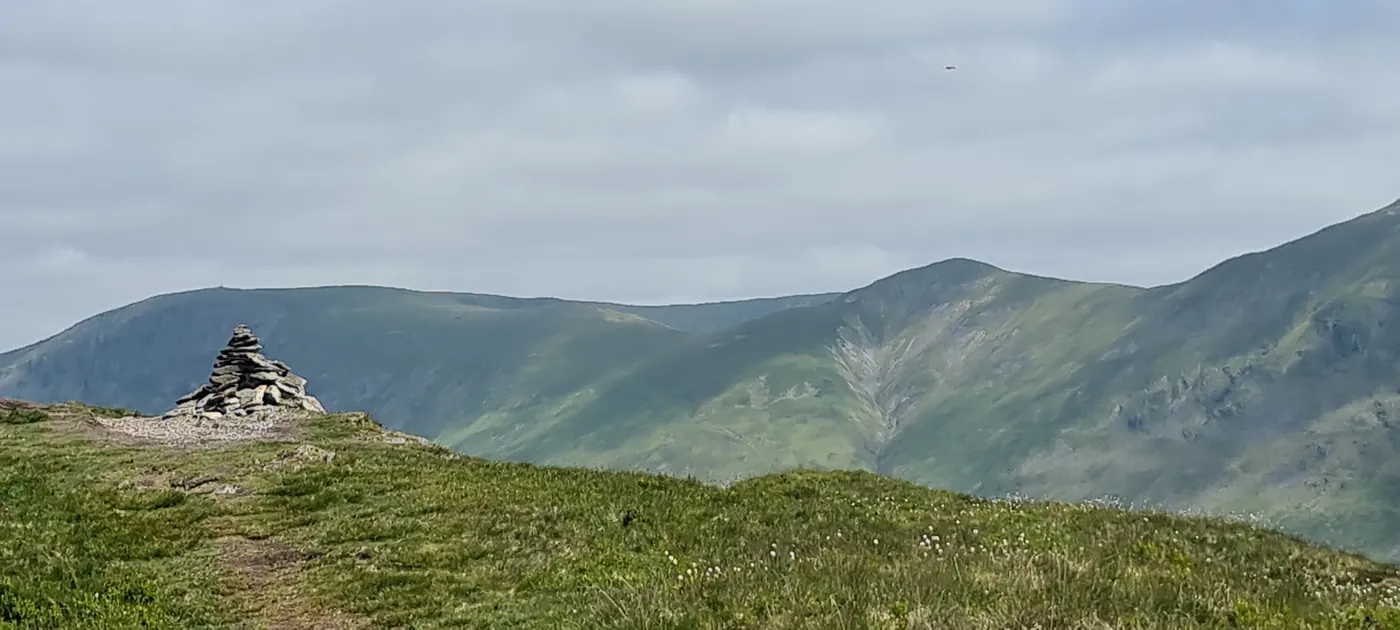 Summit likely clagged inBaystones (Wansfell)487 m~2.5 h🚌 BusSave it · 23Baystones at 487m (1,598ft) is the north top of the Wansfell ridge above Ambleside, giving outstanding views of Windermere and the Central Fells.
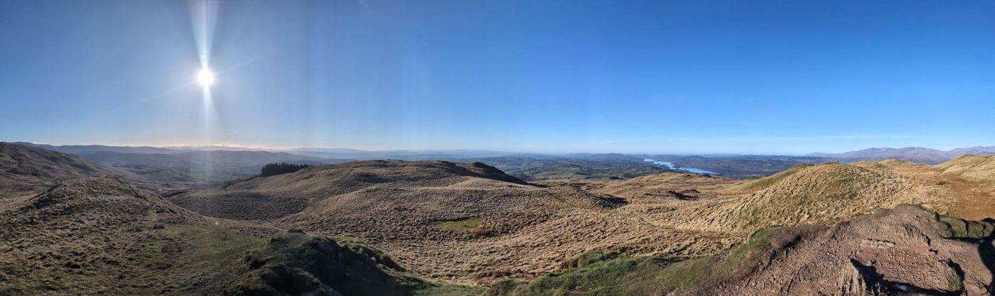 Summit likely clagged inSour Howes483 m~2.5 h🚌 BusSave it · 25Sour Howes at 483m (1,585ft) is a broad, grassy summit above Troutbeck with good views south to Windermere.
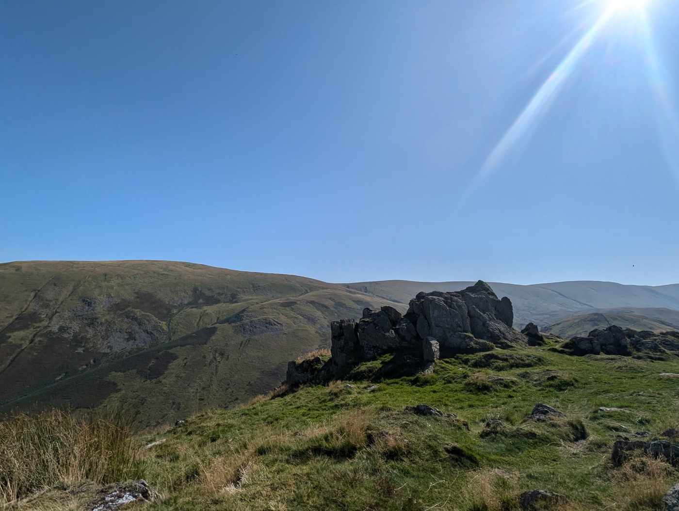 Too windy for the topsSteel Knotts (Pikeawassa)432 m~2 h🚌 BusSave it · 20Steel Knotts at 432m (1,417ft) is a small, rocky summit above Martindale with excellent views of Ullswater from its craggy top.
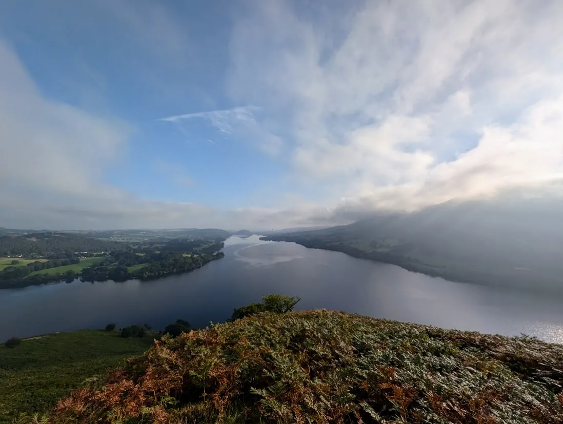 Summit likely clagged inHallin Fell388 m~1.5 h🚌 BusMarginal · 37Hallin Fell at 388m (1,273ft) is one of Lakeland's most perfectly formed little summits — a grassy cone projecting into Ullswater above Howtown, its summit giving the finest aerial view of the lake's two bends in all of Lakeland.
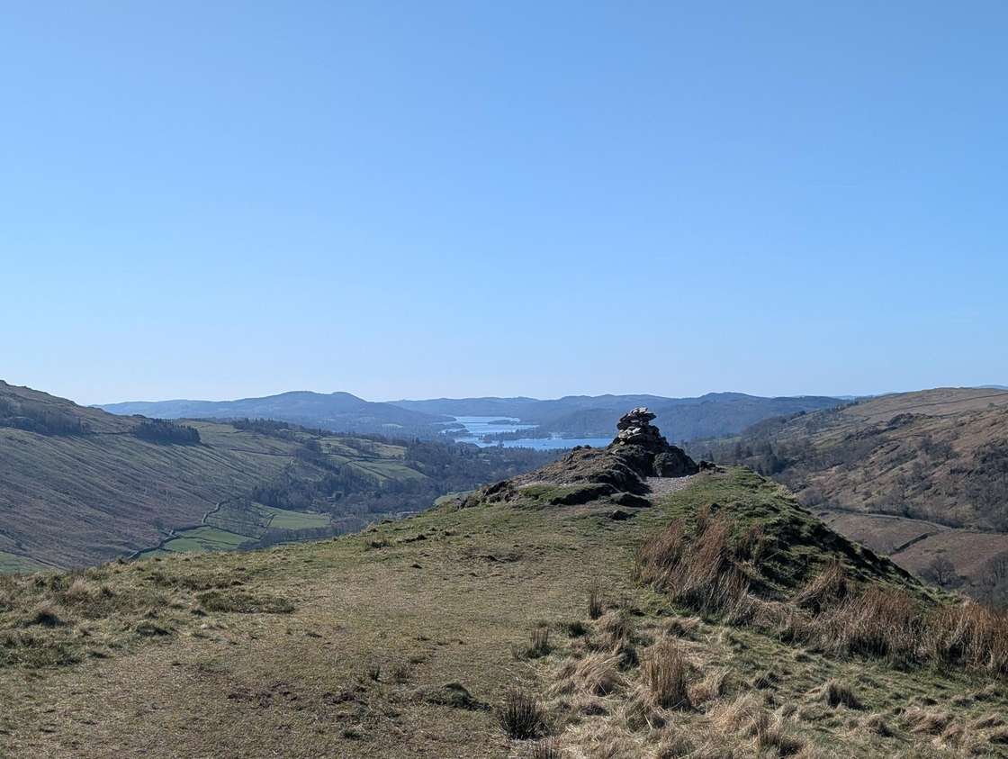 Summit likely clagged inTroutbeck Tongue364 m~2 h🚌 BusSave it · 22Troutbeck Tongue at 364m (1,194ft) is a long, narrow ridge jutting into the Troutbeck valley, its summit giving fine views of the valley and the Ill Bell ridge above.
Nothing matches those filters — .
Map
● fells within ~5 km
An interactive map of the route start points and the fells within about 5 km. Each marker links to its page; the same routes and fells are listed below.