Walks for short winter days
Each of these 131 walks, started at 10:00 and walked at a steady pace, finishes with at least an hour of daylight left on the evening the sun sets earliest in late October, in November and in December. They are grouped by when you would be back. The light is the only test: it says nothing about the weather, the ground or snow on the tops, so read the route page and our winter on the fells guide before you choose, and carry a head torch whatever the plan.
Buses in this list’s season: the UB1 does not run from 2 November 2026 to 21 March 2027 and returns on 22 March 2027, and this list runs from 25 October 2026 to 31 January 2027, so the 3 cards that name it say so. Its last day was confirmed with the operator on 9 October 2026. the 509 does not run from 2 November 2026 to 21 March 2027 and returns on 22 March 2027, and this list runs from 25 October 2026 to 31 January 2027, so the 5 cards that name it say so. the 77 does not run from 2 November 2026 to 21 March 2027 and returns on 22 March 2027, and this list runs from 25 October 2026 to 31 January 2027, so the 24 cards that name it say so. Its last day was confirmed with the operator on 29 August 2026. the UB2 does not run from 2 November 2026 to 21 March 2027 and returns on 22 March 2027, and this list runs from 25 October 2026 to 31 January 2027, so the 5 cards that name it say so. Its last day was confirmed with the operator on 9 October 2026.
The count is of the list on this page. The other figures are the rule the list is chosen by. How we check →
Effort is the size of the day, from the distance and the climb; each route’s own page grades the steepness, navigation, exposure and ground underfoot, and names the hardest.
Back by 12:00 35
Up to two hours at a steady pace.
- The Bowder Stone1.16 km there and back~16 m climb~¼–½ hFrom Bowder Stone car park, BorrowdaleEasy effort Moderate: navigationPlannedOut and back · Park: Quay Foot Quarry, Borrowdale (NT, paid) · Bus: 78 at the startA very short stroll to Borrowdale's famous balanced boulder — the house-sized Bowder Stone, with steel steps to climb to the top. About 0.6 km each way, so roughly 1.2 km there and back, plus your time at the stone.Terrain: estimated from the map, not checked on the ground.
- Stock Ghyll Force1.92 km~89 m climb~½–¾ hFrom Ambleside (Stock Ghyll Lane, behind the Salutation)Easy effort Moderate: navigationWalked April 2026Park: Ambleside, King Street (paid) · Bus: 555, 810 m walk from Ambleside, at Hayes Garden CentreA short woodland loop from the middle of Ambleside to the 70-foot Stock Ghyll Force in its steep-sided gorge — at its thundering best after rain, and easily tacked on to a town visit.Measured from the GPX track: the steepest sustained descent, about 12%.
 Blea Tarn (Little Langdale)2.66 km~34 m climb~½–1 hFrom Blea Tarn National Trust ParkingEasy effort Easy: distance, steepness, terrain, navigation and exposureWalked May 2024Park: Blea Tarn (NT, paid) · Bus: 516, 2.4 km walk from Old Dungeon Ghyll HotelA short, lovely loop around little Blea Tarn, with the classic view of the Langdale Pikes mirrored in the water — one of the most photographed scenes in the Lakes for very little effort.
- Slater Bridge & Cathedral Cave2.2 km~92 m climb~½–1 hFrom Three Shires Inn, Little LangdaleEasy effort Moderate: navigationPlannedBus: 516, 2.2 km walk from Elterwater, opposite The Britannia InnA short loop from Little Langdale over the slate Slater Bridge and up to Cathedral Quarry, a disused slate quarry on National Trust land. The Trust warns of unprotected sheer drops, deep water and a chance of rockfall at the quarry, and asks visitors to bring a torch. The Trust says there is no parking at the quarry itself; this walk starts beside the Three Shires Inn, whose car park is for its customers. Uneven, rocky ground in places.
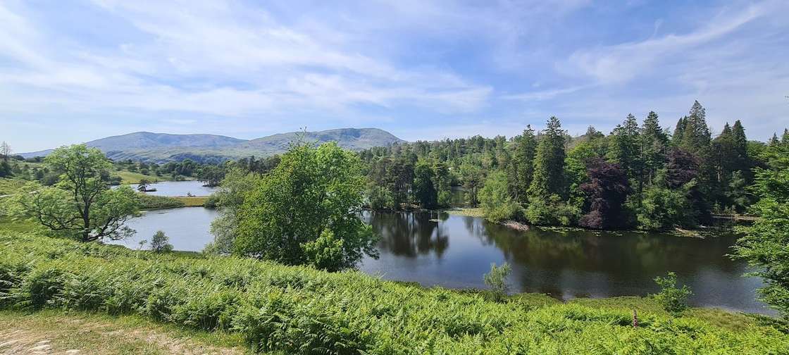 Tarn Hows circuit2.92 km~61 m climb~½–1 hFrom Tarn Hows National Trust car parkEasy effort Moderate: navigationWalked in partPark: Tarn Hows (NT, paid) · Bus: 505, 1.4 km walk from Holling Brow (near)A gentle circuit of one of the Lake District's prettiest tarns, ringed by pines with the Coniston and Langdale fells beyond. Easy underfoot, with National Trust parking, toilets and a seasonal refreshment van.
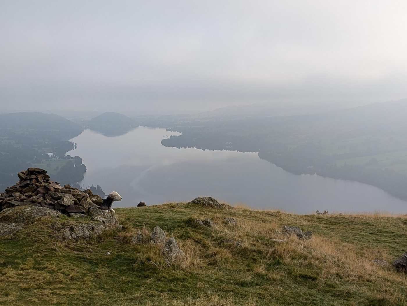 Clear tops, dryHallin Fell1.98 km~165 m climb~½–1 hFrom St Peter's Church, Howtown (The Hause)Easy effort Moderate: steepnessWalked in partOut and back · Park: unnamed car park south-east of Hallin Fell (free) · Bus: UB1, 530 m walk from Martindale Cattle Grid (near) (seasonal: none 2 Nov to 21 Mar)A short, steep little climb from St Peter’s Church at The Hause, above Howtown, to a superb all-round viewpoint over Ullswater — maximum reward for minimum effort. The Howtown steamer pier is about 1 km from the start as the crow flies, further on foot, so it can make a car-free outing.Measured from the GPX track: the steepest sustained climb, about 25%.
 DryLatrigg2.48 km~106 m climb~½–1 hFrom Gale Road car park (Underscar), KeswickEasy effort Easy: distance, steepness and navigationWalked in partPark: Latrigg car park (free) · Bus: 554, 2.6 km walk from Keswick, opposite The PheasantThe little fell on Keswick's doorstep with an outsized view — a short pull from the Gale Road car park to a grassy top looking straight down on the town, Derwentwater and the Borrowdale fells.
 Too windy for the topsBinsey Walk2.35 km~175 m climb~¾–1¼ hFrom Binsey LodgeEasy effort Moderate: steepnessWalked July 2024Out and back · Park: Roadside parking for Binsey (free) · Bus: 554, 3.1 km walk from Bewaldeth, on road endThe northern outlier, and the biggest view-per-minute in the Lake District. Binsey stands alone above the Solway plain with nothing between it and Scotland — about ¾–1¼ hours up and back on a grassy path, and you can see the whole Skiddaw massif on one side and the Galloway hills on the other. A first fell, an evening fell.
- Lanty's Tarn and Glenridding Beck3.11 km~126 m climb~¾–1¼ hFrom GlenriddingEasy effort Moderate: steepness and navigationPlannedPark: Beckside Car Park (paid) · Bus: 508 at the startA short circular of about 3.1 km from Glenridding: a short way up the valley of Glenridding Beck on a public bridleway, up a public footpath and a short path to Lanty’s Tarn, then down public footpaths by Mires Beck and back along the bridleway, with about 130 m of climbing.
- Brant Fell from Bowness2.86 km~161 m climb~¾–1¼ hFrom Bowness PierEasy effort Moderate: steepness and navigationPlannedPark: Bowness, Glebe Road (paid) · Bus: 508 at the startA short loop of about 2.9 km from Bowness Pier to the top of Brant Fell, with about 160 m of climbing: up Brantfell Road, a public footpath and a track to the Post Knott viewpoint, paths to the top, and down past Brantfell Farm on a public footpath that OpenStreetMap maps as part of the Dales Way.
- Ambleside over Miller Bridge3.16 km~162 m climb~¾–1¼ hFrom AmblesideEasy effort Easy: distance, steepness and navigationWalked April 2023One-way: finishes at Pine Rigg · Start: Ambleside, Low Fold (paid) · Bus: 555, 350 m walk from Ambleside, at Hayes Garden CentreA short one-way walk of about 3.2 km from the centre of Ambleside, across the River Rothay at Miller Bridge and up the bridleway towards Loughrigg, finishing near Pine Rigg. Town pavements, then a surfaced lane and a compacted bridleway, with about 160 m of climbing. Lee walked it with family and a pram in April 2023.
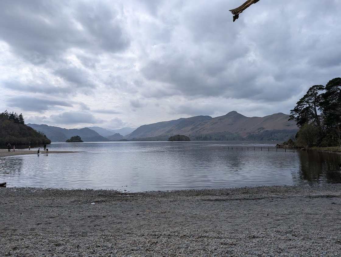 Friar's Crag & the Derwentwater shore4.22 km~43 m climb~¾–1¼ hFrom Keswick town centre, by BoothsEasy effort Moderate: navigationPlannedPark: Keswick Rugby Club car park (paid) · Bus: 554 at the startAn almost-level lakeshore stroll from Keswick to Friar's Crag — Ruskin's favourite view down Derwentwater to the Jaws of Borrowdale — on surfaced paths.
- Elterwater riverside loop4.25 km~91 m climb~1–1½ hFrom Elterwater VillageEasy effort Moderate: terrainPlannedPark: Elterwater (NT, paid) · Bus: 516 at the startA short loop from Elterwater village, partly beside Great Langdale Beck — easy, pretty and quick, with the Langdale Pikes ahead. A gentle leg-stretch or a lazy family afternoon.
- Kentmere to Hartrigg4.47 km~62 m climb~1–1½ hFrom KentmereEasy effort Moderate: navigationPlannedOut and back · Park: Kentmere Institute (donation, very limited)A short out-and-back of about 4.5 km from Kentmere village up the valley to Hartrigg: a lane and a footpath out of the village, then the valley track, with about 60 m of climbing.
- DryHigh Rigg3.62 km~221 m climb~1–1½ hFrom Wanthwaite Bridge Car ParkEasy effort Moderate: steepnessWalked April 2026Out and back · Park: St John's in the Vale verge, High Rigg (free) · Bus: X4 and X5, 2.3 km walk from Threlkeld West End (near) (the 509 is seasonal: none 2 Nov to 21 Mar)A round of 1–1½ hours over Naddle Fell, and a great deal of view for 221 m of climbing — with one steep pull near the top and a stretch of pathless ground to keep it honest.Measured from the GPX track: the steepest sustained descent, about 21%. Navigation: graded by Lee on the ground. Summary checked by Lee McCoy, 26 August 2026.
- Orrest Head4.16 km~173 m climb~1–1½ hFrom Windermere village (by the railway station)Easy effort Moderate: navigationPlannedPark: Windermere Station car park (Northern, paid) · Bus: 505 at the startWainwright's first Lakeland summit and still the best short introduction to the fells — a steady wooded climb from Windermere to a rocky crown with a sweeping panorama over the lake to the Coniston and Langdale skyline.
 DryGreat Mell Fell3.47 km~274 m climb~1–1¾ hEasy effort Moderate: steepnessWalked August 2023Out and back · Park: Great Mell Fell layby · Bus: 509, 1.8 km walk from Matterdale End, outside Brook House Farm (seasonal: none 2 Nov to 21 Mar)The gentler of the two Mell Fells and an easy hour from the road — a single steady pull of 273 m to a domed summit with no mapped crags anywhere near the line.
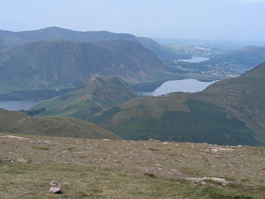 Too windy for the topsRannerdale Knotts from Buttermere4 km~265 m climb~1–1¾ hFrom Buttermere villageEasy effort Severe: steepnessWalked in partPark: Buttermere village (NT, paid) · Bus: 77, 450 m walk from Buttermere, outside Court Hotel (seasonal: none 2 Nov to 21 Mar)A short loop of about 4.0 km from Buttermere village over Rannerdale Knotts, with about 265 m of climbing: up on paths to the ridge, west along it to the top, steeply down its western end, and back to the village below the fell on the Crummock Water side, on a bridleway, the B5289 and paths.Measured from the GPX track: the steepest sustained descent, about 38%.
- Scout Scar from Kendal5.16 km~96 m climb~1–1¾ hFrom Brigsteer Road, KendalEasy effort Moderate: navigationPlannedPark: unnamed car park east of Scout Scar (free) · Bus: 555, 1.6 km walk from Kendal South, opposite Hadwins GarageA loop of about 5.2 km from a car park on Brigsteer Road over Scout Scar, with about 100 m of climbing: west up a public footpath across Bradley Field to the top by the Mushroom shelter, south along the top of the scar, then back east across Helsington Barrows.
- Humphrey Head from Kents Bank station5.33 km~54 m climb~1–1¾ hFrom Kents Bank stationEasy effort Moderate: navigationPlannedOut and back · Bus: X6, 3.2 km walk from Grange-over-Sands, at Rail StationAn out-and-back walk of about 5.3 km from Kents Bank station to the top of Humphrey Head, with about 50 m of climbing: along the Embankment Path and footpaths past Kirkhead End to Pigeon Cote Lane, then Holy Well Lane and grass paths up the headland to the trig point, and back the same way.
- West Side of Coniston5.8 km~27 m climb~1–1¾ hFrom Coniston, Lake RoadEasy effort Moderate: navigationPlannedOut and back · Park: Coniston (layby) · Bus: 505, 660 m walk from Coniston, outside John Ruskin SchoolAn out-and-back of about 5.8 km from the lake end of Lake Road in Coniston, with a short loop where it turns, on permissive cycle paths, surfaced and compacted tracks and lanes, with almost no climbing (about 30 m).
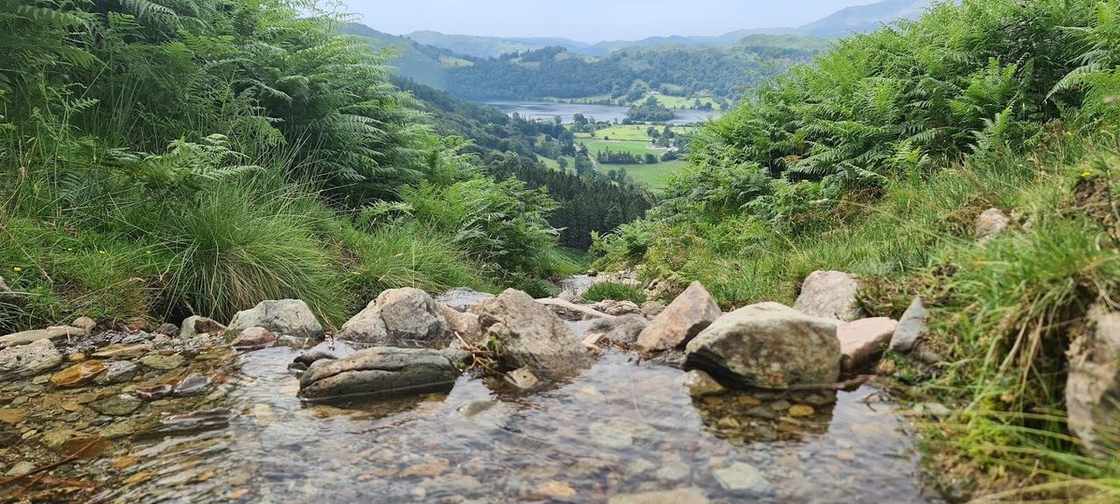 Grasmere lake circuit5.67 km~95 m climb~1¼–1¾ hFrom Grasmere villageEasy effort Moderate: navigationPlannedPark: Stock Lane Car & Coach Park (LDNPA, paid) · Bus: 555 at the startA gentle circuit of Grasmere lake from the village — easy field paths along the eastern shore and undulating woodland on the west, with the fells reflected in the water and Wordsworth's Grasmere all around. About 3½ miles, almost no climbing.
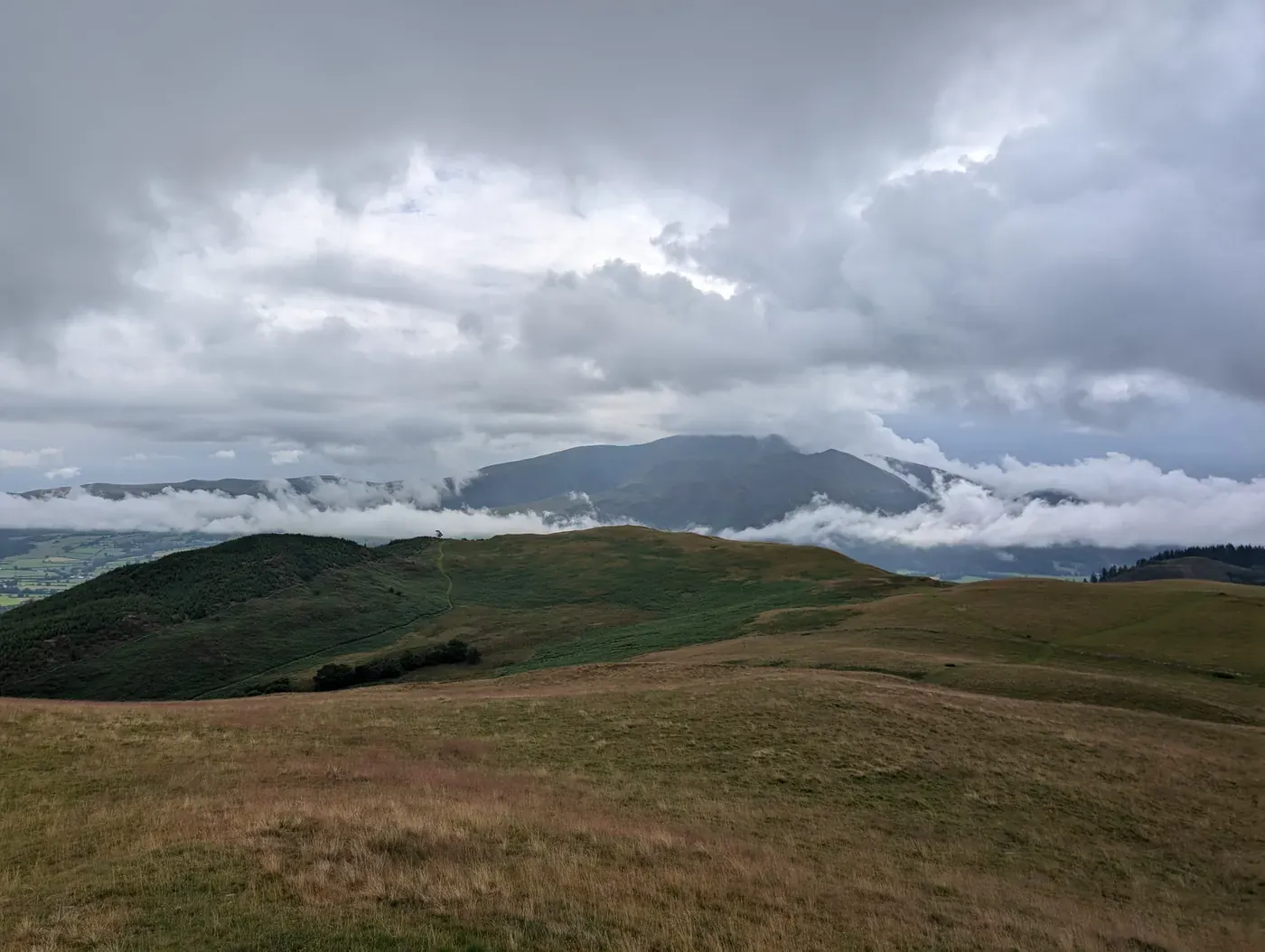 DryRivings and Lothwaite4.38 km~273 m climb~1¼–2 hFrom Wythop MillEasy effort Hard: steepnessPlannedPark: unnamed layby north-east of Ling Fell · Bus: X5, 2.7 km walk from Embleton Close Barn (near)A short, steep little round above Wythop — Rivings, Lothwaite and Sale Fell in 4.4 km, but with 273 m of climbing packed into it and a stage averaging 12%. Easy for length; about 1¼–2 hours.Measured from the GPX track: the distance; the steepest sustained descent, about 26%. Summary checked by Lee McCoy, 26 August 2026.
- Loweswater circuit5.87 km~56 m climb~1¼–1¾ hFrom Maggie's Bridge car park, LoweswaterEasy effort Moderate: navigationPlannedPark: Maggie's Bridge, Loweswater (NT, paid) · Bus: 77, 3.2 km walk from Lanthwaite Green Farm (opposite) (seasonal: none 2 Nov to 21 Mar)A nearly-level lap of Loweswater, taking in the lakeshore and the path through Holme Wood. Lovely with a dog.
- Gummer's How4.75 km~183 m climb~1¼–1¾ hFrom Gummer's How Car ParkEasy effort Hard: navigationPlannedPark: Gummer's How car park (free) · Bus: 6, 1.2 km walk from Fell Foot, at Gummers HowThe short pull above the foot of Windermere — 4.8 km and 183 m, one of the shortest walks here. Easy for length, and about 1¼–1¾ hours.Measured from the GPX track: the distance. Summary checked by Lee McCoy, 26 August 2026.
- The Royal Oak Pub Walk (Ambleside)5.94 km~68 m climb~1¼–1¾ hFrom AmblesideEasy effort Easy: distance, steepness, terrain, navigation and exposurePlannedPark: Ambleside, Rydal Road (paid) · Bus: 555 at the startAn easy, near-level amble from the heart of Ambleside out along the River Rothay and back — parkland, riverbank and quiet lanes beneath the wooded flanks of Loughrigg, with barely 70 m of climbing across 6 km. A gentle leg-stretch to bookend lunch at the Royal Oak.
- Stickle Tarn from New Dungeon Ghyll3.75 km~397 m climb~1¼–2 hFrom Great Langdale (New Dungeon Ghyll)Easy effort Severe: steepnessWalked June 2024Park: Stickle Ghyll (NT, paid) · Bus: 516 at the startA short, steep loop of about 3.75 km from New Dungeon Ghyll in Great Langdale to Stickle Tarn, under Pavey Ark, with about 400 m of climbing: up beside Stickle Ghyll to the tarn, and back down by a different path, crossing Mill Gill and Stickle Ghyll on footbridges near the end.Measured from the GPX track: the steepest sustained climb, about 37%.
- Ambleside to Rydal, with Refreshments and Stepping Stones6.21 km~78 m climb~1¼–2 hFrom AmblesideEasy effort Easy: distance, steepness, terrain and navigationWalked in partOut and back · Park: Ambleside, Market Place (4 on-street bays) · Bus: 555 at the startAn out-and-back of about 6.2 km from Ambleside to Rydal along Under Loughrigg Road, the lane on the far side of the River Rothay from the main road. Cross Miller Bridge, pass the stepping stones over the river without crossing them, cross at Pelter Bridge into Rydal, where Rydal Hall’s Old School Room Tea Shop is mapped just off the line, and come back along the lane. Almost all surfaced lane and bridleway, with about 80 m of climbing.
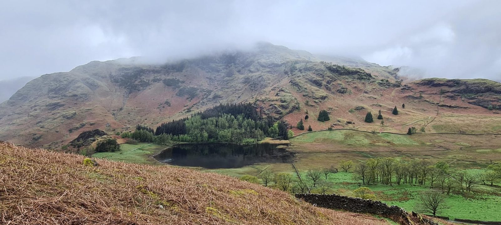 Too windy for the topsSide Pike and Brown How from Blea Tarn4.6 km~311 m climb~1¼–2 hFrom Blea Tarn National Trust ParkingEasy effort Hard: steepnessPlannedPark: Blea Tarn (NT, paid) · Bus: 516, 2.4 km walk from Old Dungeon Ghyll Hotel
- Alcock Tarn from Grasmere4.48 km~320 m climb~1¼–2 hFrom Grasmere VillageEasy effort Severe: steepnessPlannedPark: Broadgate Meadow car park, Grasmere (paid) · Bus: 555 at the startA short, steep loop of about 4.5 km from Grasmere to Alcock Tarn, with about 320 m of climbing: out of the village over the River Rothay and Greenhead Gill, along the hillside on a permissive path, steeply up to the tarn, and down a public footpath to Greenhead Gill and back into the village.Measured from the GPX track: the steepest sustained climb, about 36%.
- Knipe Scar - Birkett5.74 km~166 m climb~1¼–2 hFrom Bampton GrangeEasy effort Hard: navigationPlannedPark: Knipescar Common (verge)A short limestone walk on Knipescar Common east of Haweswater — 5.7 km and 166 m, with one 19% pull over 250 m, and easy for length. Rated hard to navigate from the map: about a third of the line is open, featureless ground with many path junctions, so it needs care in cloud (a desk estimate; this route is planned, not yet walked). About 1¼–2 hours.Measured from the GPX track: the distance; the steepest sustained climb, about 17%. Navigation: estimated from the map, not checked on the ground. Summary checked by Lee McCoy, 26 August 2026.
- Grange-over-Sands to Hampsfell5.31 km~221 m climb~1¼–2 hFrom Grange-over-Sands stationEasy effort Moderate: navigationPlannedPark: Grange-over-Sands station (paid) · Bus: X6 at the startA loop of about 5.3 km from Grange-over-Sands railway station to the Hospice on the top of Hampsfell, with about 220 m of climbing: up through the edge of the town and on public footpaths to the top, then down by other footpaths and lanes back into the town.
- Patterdale to Silver Point and Back6.5 km~118 m climb~1½–2 hFrom PatterdaleEasy effort Moderate: navigationPlannedOut and back · Park: Patterdale Hotel Car Park (Patterdale Hotel, paid) · Bus: 508 at the startAn out-and-back of about 6.5 km from Patterdale: over Goldrill Bridge, a public footpath, then north on a public bridleway along the east side of Ullswater to Silver Point, with about 120 m of climbing.
- The Old Dungeon Ghyll Pub Walk (Great Langdale)6.61 km~106 m climb~1½–2 hFrom Old Dungeon GhyllEasy effort Moderate: navigationPlannedPark: Old Dungeon Ghyll (NT, paid) · Bus: 516 at the startAn easy, near-level loop of the Great Langdale valley floor from the Old Dungeon Ghyll, walked entirely beneath the Langdale Pikes — Pike o' Stickle and Harrison Stickle rearing up on one side, Bowfell and the Band on the other. Barely a hundred metres of up-and-down across 6.6 km, so it's a proper leg-stretch with all of the drama and almost none of the grind — and it begins and ends at the pub.
- High Snockrigg from Buttermere4.02 km~404 m climb~1¼–2 hFrom Buttermere villageEasy effort Hard: steepnessPlannedOut and back · Park: Buttermere village, by the Bridge Hotel (roadside, free) · Bus: 77 at the start (seasonal: none 2 Nov to 21 Mar)An out-and-back of about 4 km from Buttermere village to the top of High Snockrigg, with about 400 m of climbing: 0.4 km up the Newlands Pass road, then a steep public footpath east up the fell and a short path to the top, and back the same way.Measured from the GPX track: the steepest sustained climb, about 28%.
Back by 13:00 27
Two to three hours at a steady pace.
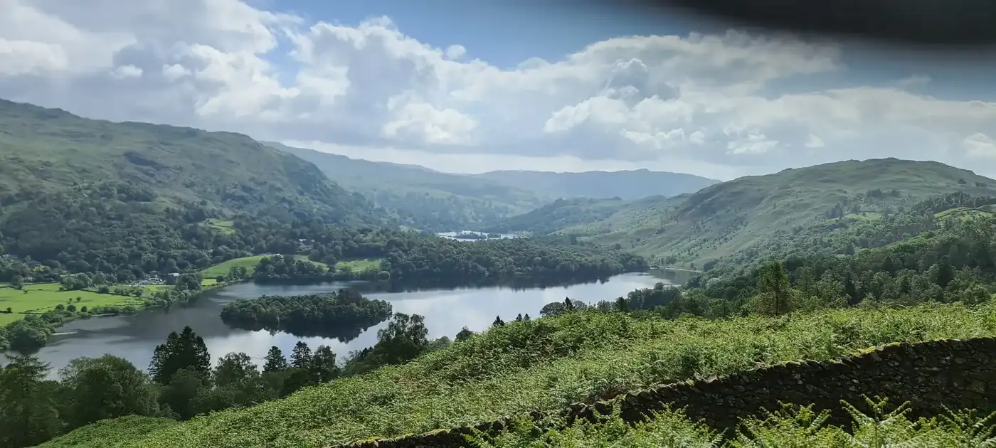 DrySilver How from Grasmere5.06 km~311 m climb~1½–2¼ hFrom Grasmere VillageEasy effort Hard: steepnessWalked in partPark: Stock Lane Car & Coach Park (LDNPA, paid) · Bus: 555 at the startA loop of about 5.1 km from the middle of Grasmere with about 310 m of climbing: out through the village and up public footpaths onto Silver How, then down the steep Grasmere side of the fell and back into the village along Red Bank Road.Measured from the GPX track: the steepest sustained descent, about 28%.
- Low Light Haw5.63 km~247 m climb~1½–2¼ hEasy effort Moderate: steepness and navigationPlannedPark: Crab Haws car park, Bethecar Moor (free)A short loop onto Low Light Haw, one of the Outlying Fells, on Bethecar Moor on the wild eastern side of Coniston Water. A steep pull up through the woods onto open, heathery moor, and a wide view over Coniston Water and the southern fells. Under 6 km, but with one genuinely steep climb: a fine short outing for a clear day.Measured from the GPX track: the steepest sustained descent, about 21%.
- Ambleside to Wray Castle6.54 km~189 m climb~1½–2¼ hFrom AmblesideEasy effort Easy: distance, steepness and navigationWalked April 2023One-way: finishes at Wray Castle · Start: Ambleside, Low Fold (paid) · Bus: 555, 360 m walk from Ambleside, at Hayes Garden CentreA one-way walk of about 6.5 km from the centre of Ambleside to Wray Castle above the north-west shore of Windermere: over the Bronwen Nixon footbridge, through Clappersgate and across Brathay Bridge, then by cycle path, compacted bridleway and a quiet lane over Low Wray Bridge. Lee walked it with family and a pram in April 2023.
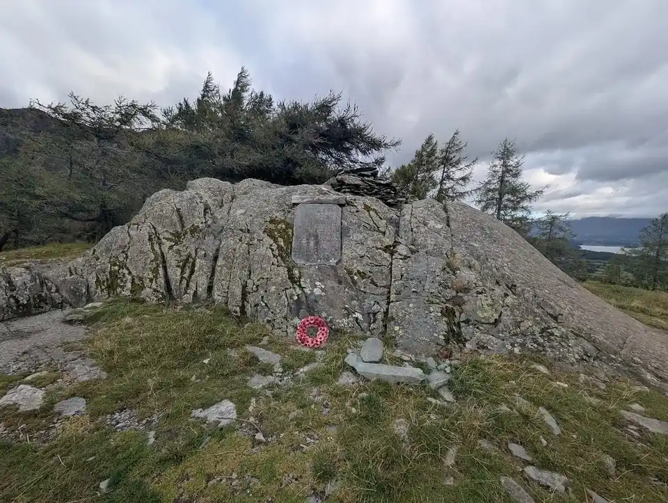 Dry, firm underfootCastle Crag from Rosthwaite6.02 km~254 m climb~1½–2¼ hFrom RosthwaiteEasy effort Moderate: steepness and navigationWalked in partPark: Rosthwaite (NT, paid) · Bus: 78 at the startA loop of about 6 km from Rosthwaite over Castle Crag, with about 250 m of climbing: across the River Derwent on stepping stones, north along the river, up the bridleway beside Broadslack Gill and steeply on to the top, then down to the river and back to Rosthwaite over the same stones.Measured from the GPX track: the steepest sustained descent, about 21%.
- The Sun Pub Walk (Coniston)6.42 km~202 m climb~1½–2¼ hFrom Coniston VillageEasy effort Moderate: terrainPlannedPark: Coniston, Ruskin Avenue (paid) · Bus: 505 at the startA short circuit from the door of The Sun in Coniston: 6.4 km with around 200 m of climbing, on the east side of the village. Our description of the way round is being rewritten to match the track; until then, follow the map and the GPX.
- The Tilberthwaite Birketts5.26 km~307 m climb~1½–2¼ hFrom Low Tilberthwaite car parkEasy effort Hard: steepness and navigationPlannedPark: Tilberthwaite (paid) · Bus: 505, 3.5 km walk from Monk Coniston, at HallA short loop of about 5.3 km from Low Tilberthwaite, with about 310 m of climbing: up the public footpath beside Tilberthwaite Gill, across open ground over four Birketts, Blake Rigg, Haystacks, Hawk Rigg and High Fell, then round below Great Intake and down by Blake Rigg Gill.
- Buttermere lake circuit7.41 km~66 m climb~1½–2¼ hFrom Buttermere village (NT / Syke Farm car parks)Easy effort Moderate: navigationPlannedPark: Buttermere village (LDNPA, paid) · Bus: 77 at the start (seasonal: none 2 Nov to 21 Mar)The classic low-level lap of Buttermere — a flat, well-made path right around the lake beneath High Stile and Fleetwith Pike, passing the famous lone tree and a short rock-cut tunnel. One of the great easy walks in the Lakes.
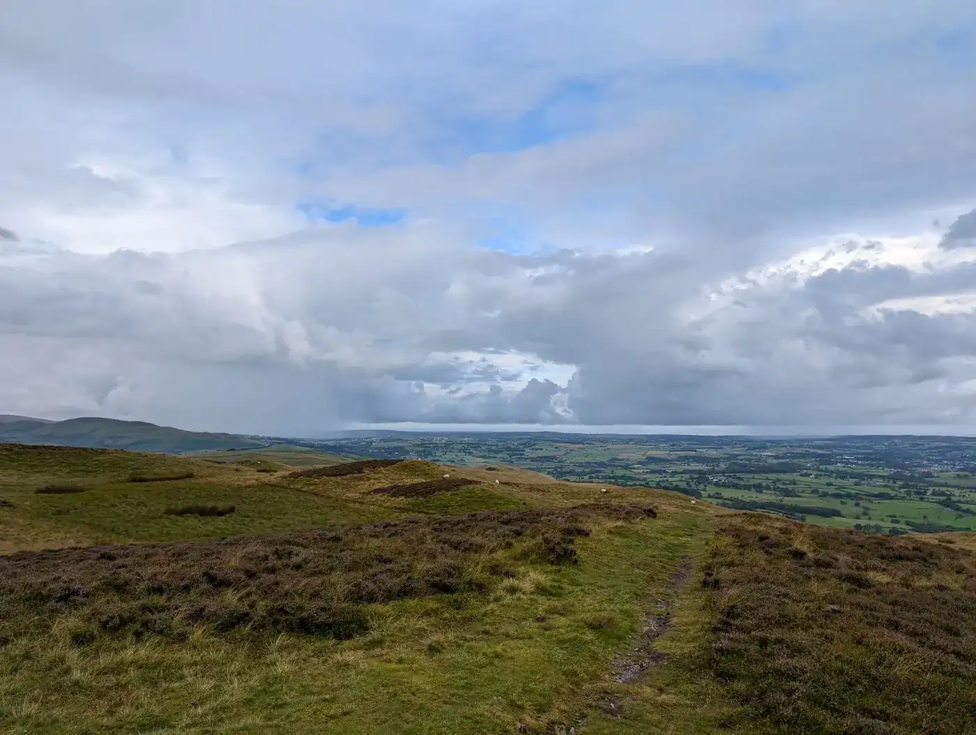 Too windy for the topsLing Fell & Sale Fell4.98 km~422 m climb~1½–2½ hEasy effort Hard: steepnessWalked July 2024Park: unnamed layby north-east of Ling Fell · Bus: X5, 2.7 km walk from Embleton Close Barn (near)Two small grassy tops near Wythop — 5 km and 422 m, and the only route in this group rated easy on every axis but steepness. A stage averages 16%. About 1½–2½ hours.Measured from the GPX track: the steepest sustained descent, about 27%. Summary checked by Lee McCoy, 26 August 2026.
- Rydal Water & Rydal Caves6.46 km~216 m climb~1½–2¼ hFrom Pelter BridgeEasy effort Moderate: steepness and navigationWalked May 2023Park: Pelter Bridge, Rydal (paid) · Bus: 555, 2.3 km walk from Rydal, at White Moss CommonA 6.46 km loop round Rydal Water from Pelter Bridge, with a short there-and-back to Rydal Cave above the south shore and the Coffin Route home under Nab Scar. Low-level, with one short rougher stretch near the cave. The 555 stops beside the loop at White Moss Common, and the route map and GPX are further down.
 DryRaven Crag from Thirlmere5.79 km~314 m climb~1½–2¼ hFrom Dam Triangle Car ParkEasy effort Hard: steepnessWalked in partPark: Dam Triangle, Thirlmere (paid) · Bus: 555, 1.2 km walk from Stanah, at Dam road endThe short climb to the crag above Thirlmere: 5.8 km and 314 m, with a first stage averaging 20% and a steepest pull of about 25%. The path, the route-finding and the length are all easy; the gradient is the hard part. The top is a crag, so stay on the path at the viewpoint. About 1½–2¼ hours.Measured from the GPX track: the distance; the steepest sustained climb, about 25%. Navigation: our judgement from the map and the route’s record; that stretch not walked. Summary checked by Lee McCoy, 24 September 2026.
- Along Windermere's Western Shore7.57 km~94 m climb~1½–2¼ hFrom Ferry House, Far SawreyEasy effort Moderate: navigationPlannedOut and back · Park: Harrowslack (NT, paid)An out-and-back of about 7.6 km from Ferry House, where the Windermere Ferry from Bowness lands, north along the western shore of Windermere and back: a lane, then a compacted track that is a restricted byway, with about 90 m of up and down.
 Too windy for the topsKnott Rigg & Ard Crags Out-and-Back from Newlands Pass5.52 km~355 m climb~1½–2¼ hFrom Newlands HauseEasy effort Hard: steepness and navigationPlannedOut and back · Park: Newlands Hause car park (free) · Bus: 77, 2.2 km walk from Buttermere Youth Hostel (near) (seasonal: none 2 Nov to 21 Mar)An out-and-back of about 5.5 km from the car park at Newlands Hause, the top of the Newlands Pass road above Buttermere, with about 355 m of climbing: a steep start straight up from the pass, then a gentle ridge path north-east over Knott Rigg and its north top to Ard Crags, and back the same way.Measured from the GPX track: the steepest sustained descent, about 27%.
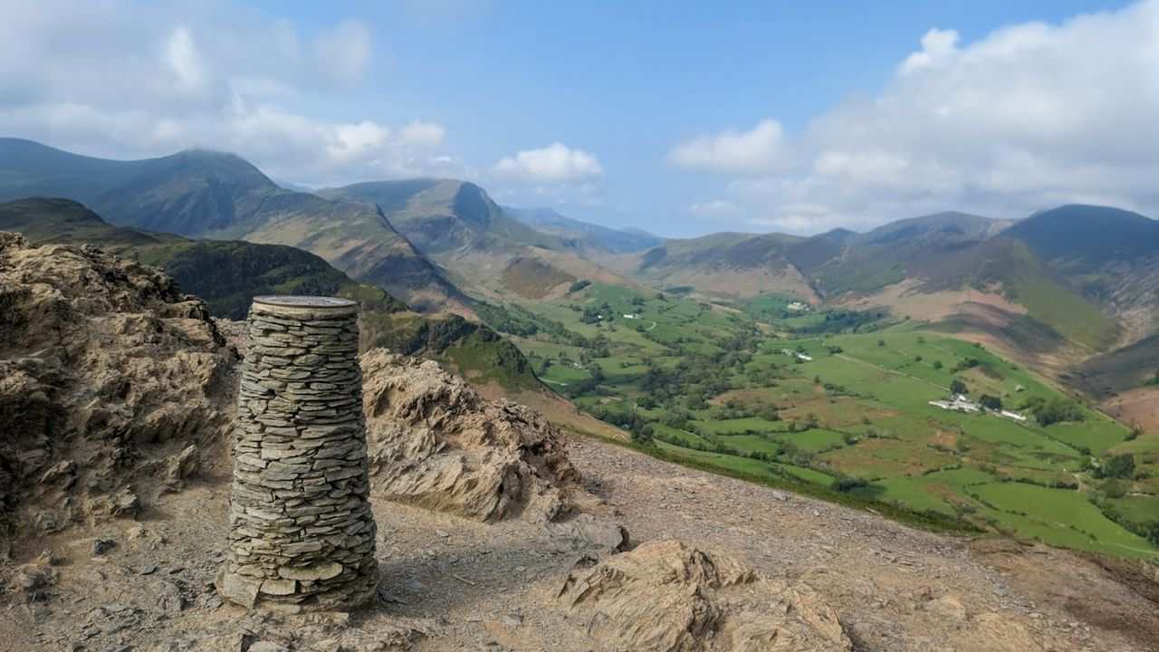 Too windy for the topsCatbells: the short way up5.67 km~407 m climb~1¾–2½ hFrom Hawes EndEasy effort Hard: steepnessWalked May 2026Park: Skelgill Bank, north car park · Bus: 77 at the start (seasonal: none 2 Nov to 21 Mar)The friendliest big view in the Lakes. Under 6 km from Hawes End to the shapely little summit above Derwentwater and back — short enough for an afternoon, steep enough to feel like a proper fell, and reachable without a car by launch across the lake or, in season, the bus from Keswick.Measured from the GPX track: the steepest sustained descent, about 31%.
- Elterwater & Skelwith Force7.6 km~164 m climb~1¾–2½ hFrom Elterwater village (NT car park)Easy effort Moderate: navigationPlannedPark: Elterwater (NT, paid) · Bus: 516 at the startA riverside walk from pretty Elterwater past Skelwith Force to the reedy shores of Elter Water, with the Langdale Pikes filling the skyline — gentle, varied and largely level.
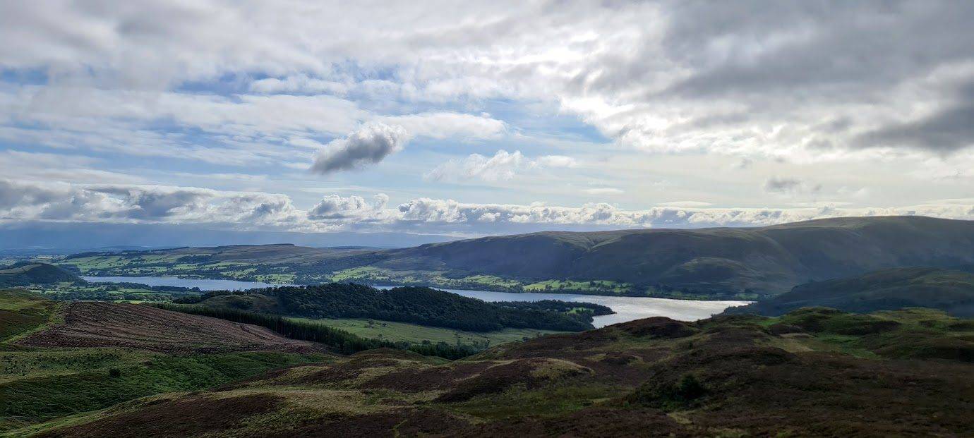 DryAira Force & Gowbarrow Fell6.88 km~341 m climb~1¾–2¾ hFrom Aira Force (NT, paid)Easy effort Hard: steepnessWalked in partPark: Aira Force (NT, paid) · Bus: 508 at the startAira Force's 65-foot waterfall, then up onto the open top of Gowbarrow Fell (481 m) for the view over Ullswater: 6.9 km and 341 m. The gorge at the falls has sheer sides, slippery rock and stone steps, and the pull above the falls onto Gowbarrow reaches about 31% over 250 m. Keep children and dogs close at the falls.Measured from the GPX track: the steepest sustained climb, about 27%. Summary checked by Lee McCoy, 24 September 2026. Hazard notes checked by Lee McCoy: Gowbarrow Fell (Wainwright summit) (14 June 2026); they draw on Patterdale Mountain Rescue Team.
 Too windy for the topsDodd from Dodd Wood6.26 km~398 m climb~1¾–2¾ hFrom Dodd Wood car parkEasy effort Moderate: steepness and navigationWalked in partPark: Dodd Wood (paid) · Bus: X4 at the startA loop of about 6.3 km from the Dodd Wood car park over Dodd, with about 400 m of climbing: up forest tracks past Long Doors, a path to the top of Dodd, and down by other paths and forest tracks back to the car park.
- Too windy for the topsRannerdale bluebell valley and Rannerdale Knotts6.19 km~394 m climb~1¾–2¾ hFrom Cinderdale Common, Crummock WaterEasy effort Severe: steepnessPlannedPark: unnamed car park south of Crummock Water, Cinderdale Common (free) · Bus: 77 at the start (seasonal: none 2 Nov to 21 Mar)A loop of about 6.2 km from Cinderdale Common by Crummock Water, with about 390 m of climbing: up the hillside above the car park, down into Rannerdale and up the valley beside Squat Beck, west along the ridge to the top of Rannerdale Knotts, then steeply down to the foot of the valley and back to the car park.Measured from the GPX track: the steepest sustained descent, about 37%.
- Wastwater Shore (the Screes view)8.82 km~77 m climb~1¾–2¾ hFrom Overbeck BridgeEasy effort Moderate: distance and navigationPlannedOut and back · Park: Overbeck Bridge, Wastwater (NT, paid)A low-level walk by Wastwater for the view across the lake to the Screes: 8.8 km with 77 m of climbing and no summits. It looks at the Screes from across the water; it does not cross their boulder field. We have drawn this line from the map and not walked it yet, so we have not checked how much of it is on the road. About 1¾–2¾ hours.Summary checked by Lee McCoy, 24 September 2026.
 Whinlatter Forest: Tarbarrel Moss, Ullister Hill & Seat How7.32 km~261 m climb~1¾–2¾ hFrom Whinlatter - Forestry Commission Car ParkEasy effort Moderate: navigationPlannedPark: Whinlatter Visitor Centre (paid) · Bus: 77 at the start (seasonal: none 2 Nov to 21 Mar)A sheltered forest loop above Whinlatter, climbing on good tracks through the plantation to a trio of low, easily-missed tops. Tarbarrel Moss, Ullister Hill and rocky little Seat How give sudden, outsized views to Skiddaw, Grisedale Pike and the north-western fells for barely 250 m of climbing. A lower option under the trees when the high tops are in cloud; Forestry England can close the forest in storms and divert paths for felling, so check before you go.Navigation: our judgement from the map and the route’s record; not walked yet.
- Pinnacle Howe and Four Stones Hill7.55 km~300 m climb~2–2¾ hFrom Haweswater, by the dam (verge)Moderate effort Hard: navigationPlannedPark: Haweswater, by the dam (verge) (free)Two low tops above Haweswater — 7.6 km and 300 m, with a short 23% descent over 250 m near the end, and easy for length. Rated hard to navigate on open moor. About 2–2¾ hours.Measured from the GPX track: the distance; the steepest descent, about 23% over 250 m. Navigation: estimated from the map, not checked on the ground. Summary checked by Lee McCoy, 26 August 2026.
- Hawkshead into the woods7.54 km~283 m climb~1¾–2¾ hFrom Hawkshead Car ParkEasy effort Moderate: steepness, terrain and navigationPlannedPark: Hawkshead Car & Coach Park (paid) · Bus: 505 at the startA woodland circuit from Beatrix Potter’s Hawkshead that climbs to the great cairn on Latterbarrow — a little fell with a big reward, looking clean down Windermere and across to the Coniston fells — then drops back through the trees. Dappled and dog-friendly, with a proper viewpoint in the middle.
- Birketts South of Burnbanks7.64 km~303 m climb~2–2¾ hFrom Haweswater, by the dam (verge)Moderate effort Hard: navigationPlannedPark: Haweswater, by the dam (verge) (free)Four low tops in the woods and crags above Haweswater — Naddle Low Forest, Hugh's Laithes Pike, Wallow Crag and Naddle High Forest. Just 7.6 km and 303 m, easy for length but rated hard to navigate. About 2–2¾ hours.Measured from the GPX track: the distance. Navigation: estimated from the map, not checked on the ground. Summary checked by Lee McCoy, 26 August 2026.
- Wray Castle & the Windermere west shore9.58 km~114 m climb~2–3 hFrom Wray Castle National Trust Car ParkModerate effort Moderate: distancePlannedPark: Wray Castle (NT, paid) · Bus: 505, 1.6 km walk from Low Wray, at Wray Castle Road EndA roughly 6-mile circular taking in the mock-Gothic Wray Castle and the western shore of Windermere. A varied, low-level day — flat underfoot but a fair distance.Measured from the GPX track: the distance.
- Windermere Station to Brockhole and Back9.12 km~153 m climb~2–3 hFrom Windermere stationModerate effort Moderate: distancePlannedOut and back · Park: Windermere Station car park (Northern, paid) · Bus: 505 at the startAn out-and-back of about 9.1 km from Windermere railway station to Brockhole on the shore of Windermere, through Troutbeck Bridge and along the shared cycle path beside the A591, with about 150 m of climbing.
 Too windy for the topsStone Arthur from Grasmere6.82 km~528 m climb~2¼–3 hFrom Grasmere VillageModerate effort Hard: steepnessWalked July 2023Out and back · Park: Stock Lane Car & Coach Park (LDNPA, paid) · Bus: 555 at the startThe steep little top above Grasmere, out and back in 6.8 km with 528 m of climbing. Easy for length, navigation and exposure — it is the gradient that makes it, rated hard. About 2¼–3 hours.Measured from the GPX track: the distance; the steepest sustained climb, about 27%. Exposure and navigation: graded by Lee on the ground. Summary checked by Lee McCoy, 26 August 2026.
- Birketts by Kirkland9.15 km~249 m climb~2¼–3 hFrom Kirkland road end (verge)Moderate effort Hard: terrain and navigationPlannedPark: Kirkland road end (verge)A single top at Godworth, a 9.2 km loop with 249 m of climbing, the steepest sustained descent about 12%. The ground and the route-finding are what make it, both rated hard; about 2¼–3 hours.Measured from the GPX track: the steepest descent, about 16% over 250 m. Navigation: estimated from the map, not checked on the ground. Summary checked by Lee McCoy, 26 August 2026.
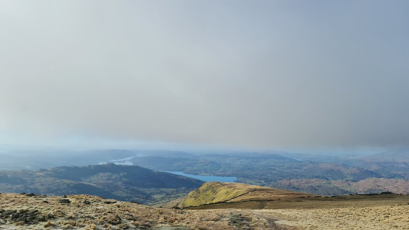 Too windy for the topsRed Screes from Kirkstone Pass5.85 km~602 m climb~2–3 hFrom Kirkstone Pass (Red Pit car park)Moderate effort Severe: steepnessPlannedPark: Red Pit (LDNPA, free) · Bus: 508, 920 m walk from Kirkstone, outside Pass InnA short, steep round of about 5.9 km from Kirkstone Pass with about 600 m of climbing: from the top of the pass straight up to Red Screes, along the ridge to Middle Dodd, then down Middle Dodd’s very steep north ridge and back up the valley beside the A592 to Red Pit car park.Measured from the GPX track: the steepest sustained descent, about 44%.
Back by 14:00 34
Three to four hours at a steady pace.
 Grasmere to Easdale Tarn9.52 km~237 m climb~2¼–3¼ hFrom Grasmere VillageModerate effort Moderate: distance, steepness, terrain and navigationWalked June 2024Out and back · Park: Stock Lane Car & Coach Park (LDNPA, paid) · Bus: 555 at the startA valley walk from Grasmere village up Easdale to its tarn, ringed by crags: 9.5 km and 237 m, with no summits. The path climbs beside Sourmilk Gill, and the becks rise fast in spate, so take care at the crossings. The ground round the tarn is boggy and rougher; elsewhere it is good paths and lanes, muddy in places. If you bring a dog, keep it close near sheep.Terrain: graded by Lee on the ground. Summary checked by Lee McCoy, 24 September 2026.
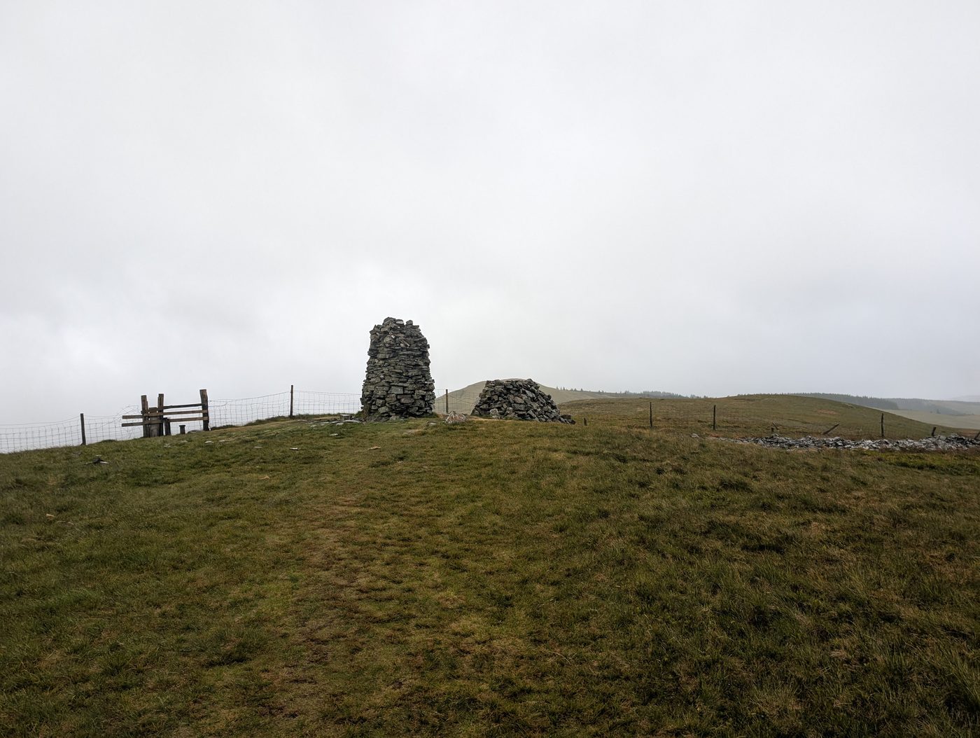 Too windy for the topsKirk Fell and Broom Fell7.55 km~486 m climb~2¼–3¼ hFrom Spout Force, WhinlatterModerate effort Severe: steepnessWalked in partPark: Spout Force, Whinlatter (free) · Bus: 77, 2.5 km walk from Lorton Winder Hall (near) (seasonal: none 2 Nov to 21 Mar)Four tops in the Lorton fells — Kirk Fell, the Graystones pair and Broom Fell — in just 7.6 km with 486 m of climbing and a stage averaging 20%. Easy for length, severe for steepness; about 2¼–3¼ hours.Measured from the GPX track: the distance; the steepest sustained climb, about 48%. Summary checked by Lee McCoy, 26 August 2026.
- Round Ennerdale Water from Bowness Knott10.9 km~92 m climb~2¼–3¼ hFrom Bowness Knott car parkModerate effort Moderate: distance, terrain and navigationPlannedPark: Bowness Knott, Ennerdale (Forestry, paid)A loop of about 10.9 km right round Ennerdale Water from the Bowness Knott car park, with about 90 m of climbing: east on the forest track along the north shore, over the River Liza near the head of the lake, west on the south shore path past Angler's Crag to the foot of the lake, over the River Ehen, and back on bridleways past Bowness to the car park.
- Howtown to Patterdale along Ullswater9.88 km~214 m climb~2¼–3¼ hFrom Howtown pierModerate effort Hard: navigationPlannedOne-way: finishes at Patterdale · Start: Hallin Fell (layby) (free) · Bus: UB1 at the start (seasonal: none 2 Nov to 21 Mar)A one-way walk of about 10 km from the Howtown pier back to Patterdale along the south-east side of Ullswater: round the foot of Hallin Fell to Sandwick, then a public bridleway past Silver Point and public footpaths over Goldrill Bridge, with about 210 m of climbing in short rises.
 North of Coniston Birketts7.96 km~494 m climb~2¼–3¼ hFrom Coniston VillageModerate effort Hard: steepness and navigationWalked in partPark: Coniston Station car park (paid) · Bus: 505, 500 m walk from Coniston, outside The Ruskin CentreThree Birketts on the Yewdale fells north of Coniston — Long Crag, High Wythow and Low Wythow — on a short but steep loop. Steep for the legs (one descent of about 34% over 250 m), harder for the map: faint paths and a clear-day-only navigation challenge, rewarded with rarely-trodden tops and a fine view over Coniston Water.Measured from the GPX track: the steepest descent, about 34% over 250 m. Navigation: estimated from the map, not checked on the ground.
- Brunt Knott from Staveley8.75 km~405 m climb~2¼–3¼ hFrom StaveleyModerate effort Hard: steepnessPlannedPark: Staveley village (paid/free mix) · Bus: 555 at the startA single top straight out of Staveley — 8.8 km and 405 m as a loop, rated hard for steepness and moderate for navigation. About 2¼–3¼ hours.Measured from the GPX track: the steepest sustained climb, about 32%. Navigation: estimated from the map, not checked on the ground. Summary checked by Lee McCoy, 26 August 2026.
- Top o' Selside8.71 km~381 m climb~2¼–3¼ hFrom Dodgson Wood car parkModerate effort Hard: navigationPlannedPark: Dodgson Wood car park, Coniston Water east shoreThree tops in the woods east of Coniston Water — Top o' Selside, Arnsbarrow Hill and Stang Hill. 8.7 km and 381 m, rated hard to navigate. About 2¼–3¼ hours.Navigation: estimated from the map, not checked on the ground. Summary checked by Lee McCoy, 26 August 2026.
- Black Combe from Whicham7.28 km~575 m climb~2¼–3¼ hFrom Whicham, A595 laybyModerate effort Hard: steepnessPlannedOut and back · Park: Whicham (layby) (free)An out-and-back of about 7.3 km from Whicham to the top of Black Combe, with about 575 m of climbing: a short drive and a lane, then a public bridleway steeply up the hillside nearly to the top, a grass path for the last stretch to the trig pillar, and back the same way.Measured from the GPX track: the steepest sustained climb, about 27%.
 Too windy for the topsPlace Fell and The Knight7.28 km~547 m climb~2¼–3¼ hFrom PatterdaleModerate effort Hard: steepnessPlannedPark: Patterdale Hotel Car Park (Patterdale Hotel, paid) · Bus: 508 at the startStraight up from Ullswater to Place Fell and The Knight — 7.3 km and 547 m, with a stage averaging 16%. Easy for length but hard for steepness. About 2¼–3¼ hours.Measured from the GPX track: the distance; the steepest sustained descent, about 35%. Summary checked by Lee McCoy, 26 August 2026.
- Birketts Around Devoke Water8.89 km~415 m climb~2¼–3½ hFrom Birker Fell Road (Devoke Water)Moderate effort Hard: navigationPlannedPark: Devoke Water turning, Birker Fell road (verge) (free)Five small tops circling Devoke Water — White Pike, Woodend Height, Yoadcastle, Water Crag and Rough Crag — in 8.9 km with 415 m of climbing averaging about 7% with one 19% descent over 250 m. Short, but rated hard to navigate. Around 2¼–3½ hours.Measured from the GPX track: the steepest descent, about 19% over 250 m. Navigation: estimated from the map, not checked on the ground. Summary checked by Lee McCoy, 26 August 2026.
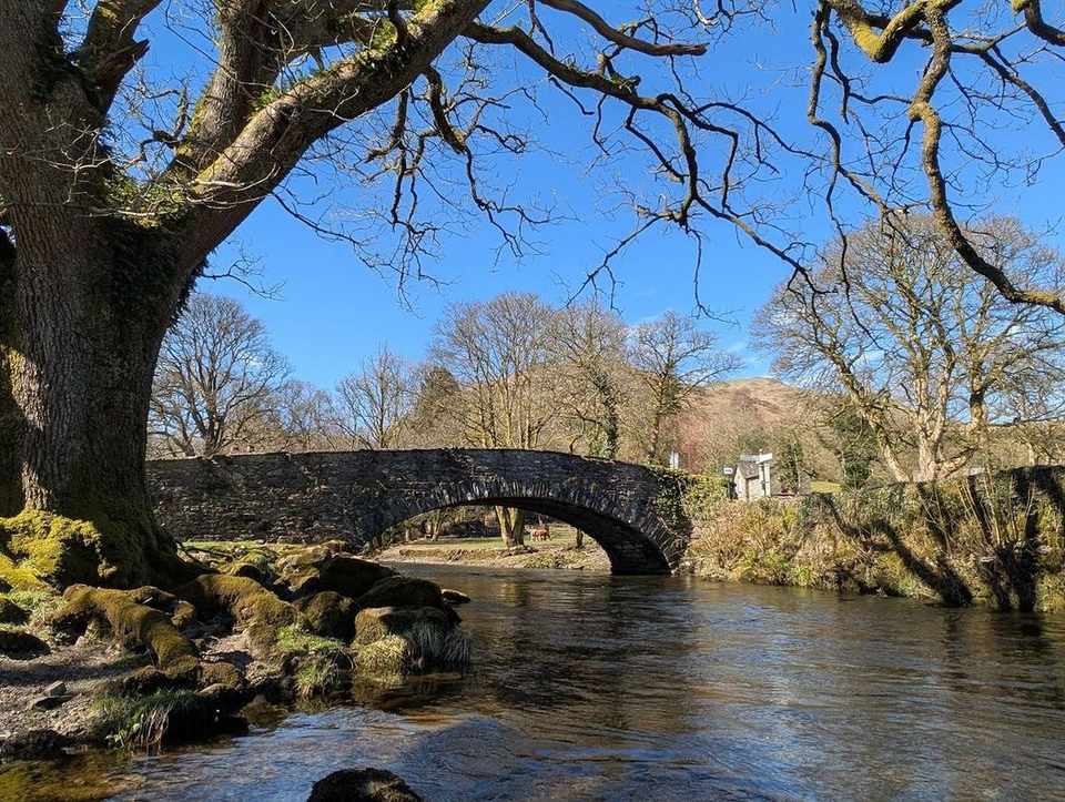 Loughrigg Terrace & Rydal Water10.71 km~288 m climb~2½–3½ hFrom Ambleside, Rydal Road car parkModerate effort Moderate: distance and navigationWalked in partPark: Ambleside, Rydal Road (paid) · Bus: 555, 1.6 km walk from Ambleside, at Scandale BridgeA terrace walk from Ambleside over Loughrigg's southern slopes to the famous Loughrigg Terrace view down Grasmere, then past Rydal Cave and back under Loughrigg. Easy-moderate, with a little climbing and some rougher ground.
- Watendlath & the packhorse bridge10.33 km~298 m climb~2½–3½ hFrom Borrowdale (B5289)Moderate effort Hard: steepnessWalked in partPark: Surprise View (NT) (paid) · Bus: 78 at the startA roughly 6.4-mile Borrowdale loop up to the hidden hamlet of Watendlath, its tarn and the much-photographed packhorse bridge, returning down the valley. A satisfying low-level half-day with one steep descent of about 33% over 250 m near the end.Measured from the GPX track: the steepest descent, about 33% over 250 m.
 Summit likely clagged inCapple Howe & Sallows8.68 km~490 m climb~2½–3½ hFrom Corfoot BeckModerate effort Hard: steepness and navigationWalked in partPark: Church Bridge, Troutbeck (limited) (free) · Bus: 508 at the startSour Howes, Capple Howe and Sallows above Troutbeck — three modest tops in 8.7 km with 490 m of climbing and one stage averaging 16%. Rated hard to navigate; about 2½–3½ hours.Measured from the GPX track: the steepest sustained climb, about 26%. Navigation: estimated from the map, not checked on the ground. Summary checked by Lee McCoy, 26 August 2026.
- Patterdale to Hartsop and Brothers Water11.48 km~169 m climb~2½–3½ hFrom PatterdaleModerate effort Hard: navigationPlannedPark: Patterdale Hotel Car Park (Patterdale Hotel, paid) · Bus: 508 at the startA low circular of about 11.5 km from Patterdale: south, mostly on public footpaths and bridleways, on the east side of the valley to Hartsop, along the west shore of Brothers Water on a public footpath and back, then north on a permissive path west of Goldrill Beck to Menneting Bridge and home the way you came, with about 170 m of climbing.
- Eycott Hills11.04 km~217 m climb~2½–3½ hFrom Mungrisdale village hall (paid)Moderate effort Moderate: distance and navigationPlannedPark: Mungrisdale village hall (paid) · Bus: X4 and X5, 3.2 km walk from Mungrisdale, adjacent to Road End (the 509 is seasonal: none 2 Nov to 21 Mar)Eycott Hill and Little Eycott Hill on the open ground east of Skiddaw — 11 km with just 217 m of climbing, and its steepest sustained descent is about 10%. Easy for steepness; around 2½–3½ hours.Measured from the GPX track: the steepest descent, about 12% over 250 m. Summary checked by Lee McCoy, 26 August 2026.
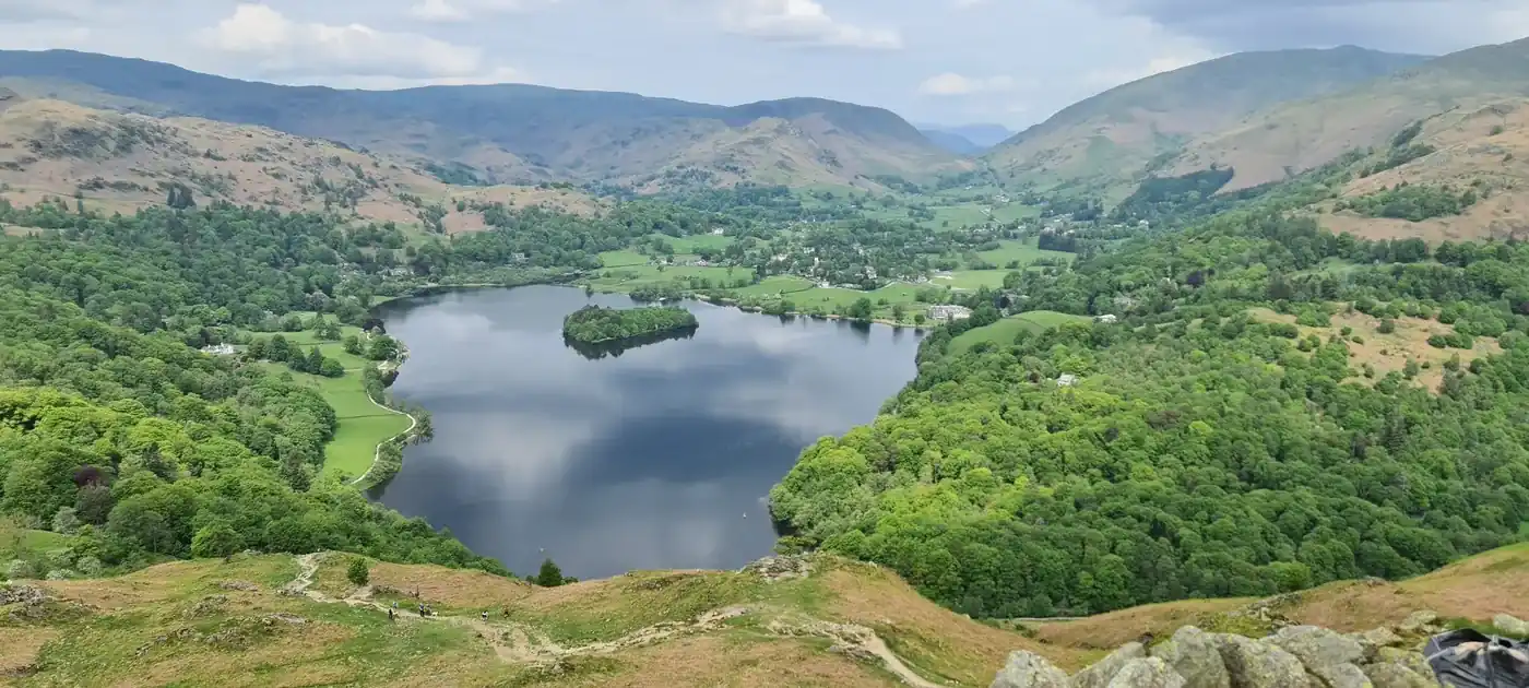 Summit likely clagged inLoughrigg Tarn & Loughrigg Fell9.75 km~382 m climb~2½–3½ hModerate effort Severe: steepnessPlannedPark: Elterwater (NT, paid) · Bus: 516 at the startA big little walk: the classic loop taking in reed-fringed Loughrigg Tarn and the knobbly top of Loughrigg Fell, with one of the finest low-level views in the Lakes — Windermere, Grasmere and the Langdale Pikes all at once. Under 400 m of climb but one short, steep descent of about 46% over 250 m, endlessly varied, and grand for dogs.Measured from the GPX track: the steepest descent, about 46% over 250 m.
- Summit likely clagged inAmbleside, Todd Crag, Rydal Cave10.38 km~394 m climb~2½–3¾ hFrom AmblesideModerate effort Hard: steepnessWalked in partPark: Ambleside, Market Place (4 on-street bays) · Bus: 555 at the startThe classic Ambleside circuit of Loughrigg Fell — up through Rothay Park and over Todd Crag past Lily Tarn, across the undulating top to the summit trig point, then down to Loughrigg Terrace above Grasmere and back along the fell's flank via Rydal Cave. Low in height, big in views, and the best-value 10 km in the central Lakes.
- Black Combe from Silecroft station8.52 km~595 m climb~2½–3¾ hFrom Silecroft stationModerate effort Hard: steepnessPlannedOut and back · Park: Whicham (layby) 2Black Combe from the train: about 8.5 km out and back from Silecroft station, with about 595 m of climbing. Village streets and field paths past Whicham lead to a public bridleway that climbs nearly to the top, a path for the last few hundred metres to the trig pillar, and the walk comes back the same way.
 Too windy for the topsDodd & Whiteside7.91 km~682 m climb~2½–3¾ hModerate effort Severe: steepnessPlannedPark: Lanthwaite Green (paid) · Bus: 77 at the start (seasonal: none 2 Nov to 21 Mar)Two tops, 7.9 km and 682 m — and a stage averaging 29%, which is what a short walk with that much ascent in it means. Easy for length, severe for steepness. About 2½–3¾ hours.Measured from the GPX track: the distance; the steepest sustained climb, about 41%. Summary checked by Lee McCoy, 26 August 2026.
- Whitbarrow Scar and Lord's Seat from Witherslack11.06 km~266 m climb~2½–3¾ hFrom Witherslack, Town EndModerate effort Moderate: distance, steepness and navigationPlannedPark: Town End, south car park 2 · Bus: X6, 410 m walk from Witherslack Longhowe End (near)A loop of about 11 km from Witherslack over Whitbarrow, with about 266 m of climbing: out on lanes and a bridleway through Mill Side, up on paths on to the limestone top and north along it to Lord's Seat, then down through Whitbarrow Scar and back on tracks past Beck Head and the same lanes.
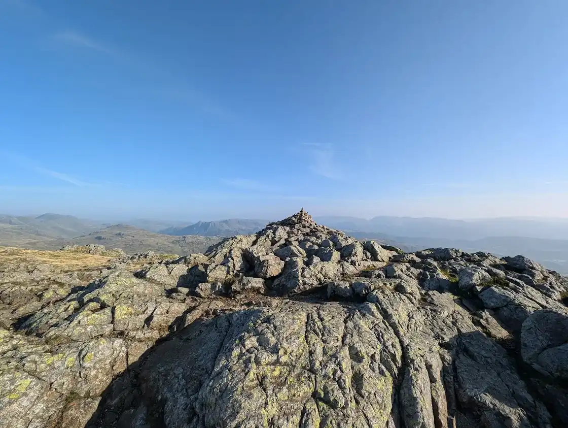 Too windy for the topsWetherlam by Birk Fell8.22 km~633 m climb~2½–3¾ hFrom Low Tilberthwaite car parkModerate effort Severe: steepnessPlannedPark: Tilberthwaite (paid) · Bus: 505, 3.5 km walk from Monk Coniston, at HallA loop of about 8.2 km from Low Tilberthwaite, with about 630 m of climbing: on to Birk Fell, steeply up beside Wetherlam Edge to the top of Wetherlam, down the broad ridge to the south, and back to Low Tilberthwaite by the path beside Tilberthwaite Gill.Measured from the GPX track: the steepest sustained climb, about 39%.
- Dunnerdale Fells8.76 km~542 m climb~2½–3¾ hFrom The Knott car park (donation)Moderate effort Hard: steepness and navigationPlannedPark: The Knott car park (donation)Four small rocky tops above the Duddon — Great Stickle, Stickle Pike and Raven's Crag among them — in 8.8 km with 542 m of climbing. Short but rated hard to navigate; about 2½–3¾ hours.Navigation: estimated from the map, not checked on the ground. Summary checked by Lee McCoy, 26 August 2026.
 Too windy for the topsTwo Birketts from Mardale Head9.6 km~550 m climb~2¾–4 hFrom Mardale Head (Haweswater)Moderate effort Hard: steepness and navigationWalked in partPark: Mardale Head, Haweswater (free)Branstree and its north-east top above Haweswater, with two more summits on the way — 9.6 km and 550 m, a stage averaging 19%, and hard route-finding on featureless ground. About 2¾–4 hours.Measured from the GPX track: the steepest sustained descent, about 27%. Navigation: estimated from the map, not checked on the ground. Summary checked by Lee McCoy, 26 August 2026.
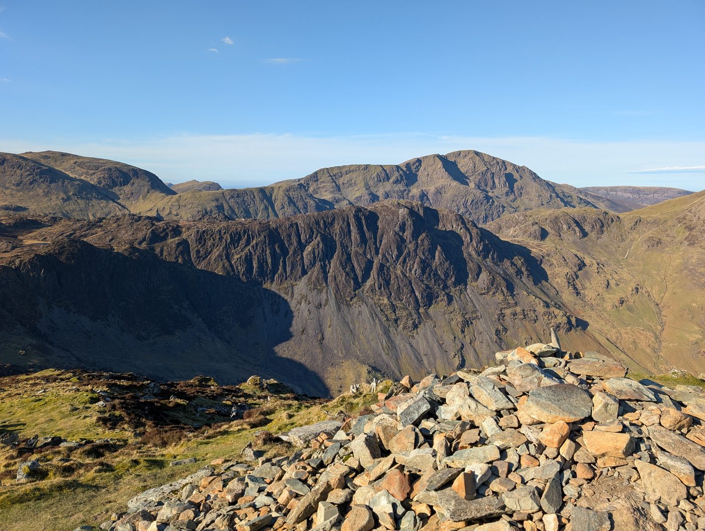 Too windy for the topsBlack Star Brandreth and others9.29 km~629 m climb~2¾–4 hFrom Honister Slate MineModerate effort Hard: steepness and navigationWalked in partPark: Honister Pass (paid, slate mine) · Bus: 77 at the start (seasonal: none 2 Nov to 21 Mar)Straight up from the Honister pass — Honister Crag, Fleetwith Pike, Brandreth and Grey Knotts in 9.3 km with 629 m of climbing. Short but hard for steepness, with one stage averaging 15%. About 2¾–4 hours.Measured from the GPX track: the steepest sustained descent, about 33%. Summary checked by Lee McCoy, 26 August 2026.
 Too windy for the topsSwarth Fell and Loadpot Hill9.69 km~599 m climb~2¾–4 hFrom St Peter's Church, the HauseModerate effort Severe: steepnessWalked in partPark: Hallin Fell car park (free) · Bus: UB1, 530 m walk from Martindale Cattle Grid (near) (seasonal: none 2 Nov to 21 Mar)Four far-eastern tops above Ullswater — Swarth Fell, Loadpot Hill, Brownthwaite Crag and Steel Knotts — in 9.7 km with 599 m of climbing. Severe for steepness, hard to navigate; about 2¾–4 hours.Measured from the GPX track: the steepest sustained climb, about 36%. Navigation: estimated from the map, not checked on the ground. Summary checked by Lee McCoy, 26 August 2026.
- Carron Crag from Grizedale10.99 km~392 m climb~2¾–4 hFrom Grizedale Forest Visitor CentreModerate effort Hard: navigationPlannedPark: Grizedale Forest Visitor Centre (paid) · Bus: 505, 4.8 km walk from Hawkshead, at Tourist Information CentreThe high point of Grizedale Forest, a loop of 11 km with 392 m of climbing averaging about 9% with a 21% pull over 250 m at the start. Rated hard to navigate — forest tracks all look alike. About 2¾–4 hours.Measured from the GPX track: the steepest sustained climb, about 18%. Navigation: estimated from the map, not checked on the ground. Summary checked by Lee McCoy, 26 August 2026.
- Round Kirk Fell from Wasdale Head9.09 km~630 m climb~2¾–4 hFrom Wasdale HeadModerate effort Severe: steepnessPlannedPark: Wasdale Head village green car park (free)A loop of about 9.1 km from Wasdale Head round Kirk Fell, with about 630 m of climbing: up the valley past Burnthwaite and over Gable Beck, then a steep path to Beck Head (619 m), the col between Kirk Fell and Great Gable; north-west under Kirk Fell's north side to Black Sail Pass (545 m), then down past Gatherstone Head into the valley west of Kirk Fell and back to Wasdale Head.Measured from the GPX track: the steepest sustained climb, about 43%.
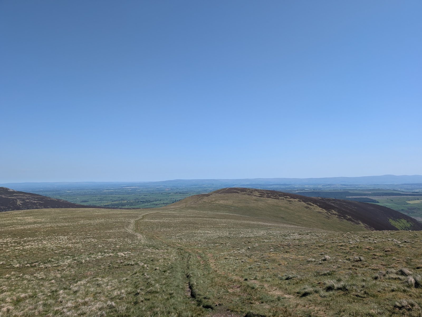 Too windy for the topsThe Tongue Birkett9.4 km~629 m climb~2¾–4 hModerate effort Severe: steepnessPlannedPark: Mungrisdale village hall (paid) · Bus: X4 and X5, 3.2 km walk from Mungrisdale, adjacent to Road End (the 509 is seasonal: none 2 Nov to 21 Mar)The Tongue and Bowscale Fell from the Mungrisdale side — 9.4 km with 629 m of climbing and a steepest sustained pull of about 46%, which is what earns it a severe steepness rating. About 2¾–4 hours.Measured from the GPX track: the steepest sustained climb, about 46%. Summary checked by Lee McCoy, 26 August 2026.
- Ambleside to the Old Post Office Tea Room, Troutbeck (over Wansfell)9.89 km~547 m climb~2¾–4 hFrom AmblesideModerate effort Severe: steepnessPlannedPark: Ambleside, Low Fold (paid) · Bus: 555 at the startA proper half-day loop with a reward built in: drop into pretty Troutbeck for tea and cake at the Old Post Office Tea Room, then climb over Wansfell Pike for a huge view down Windermere and back down to Ambleside. Around 550 m of up and down.
- DryAround Loweswater to Fellbarrow and Low Fell10.84 km~446 m climb~2¾–4 hModerate effort Severe: steepnessPlannedPark: Maggie's Bridge, Loweswater (NT, paid) · Bus: 77, 3.2 km walk from Lanthwaite Green Farm (opposite) (seasonal: none 2 Nov to 21 Mar)A short north-western round over Low Fell, Sourfoot Fell, Smithy Fell and Fellbarrow — 10.8 km and 446 m, moderate on every axis except steepness, which is severe: the climb onto Low Fell reaches about 43%. About 2¾–4 hours.Measured from the GPX track: the steepest sustained climb, about 43%. Summary checked by Lee McCoy, 26 August 2026.
 Castle How & Lang How - Birketts10.91 km~490 m climb~3–4 hFrom Stock Lane Car & Coach Park (LDNPA, paid)Moderate effort Hard: steepness and navigationWalked in partPark: Stock Lane Car & Coach Park (LDNPA, paid) · Bus: 555 at the startLang How, Swinescar Pike and Castle How on the knolly ground above Grasmere — 10.9 km and 490 m, stages averaging about 10% with a 33% descent over 250 m, and rated hard to navigate among the hummocks. Just about 3–4 hours.Measured from the GPX track: the steepest descent, about 33% over 250 m. Navigation: estimated from the map, not checked on the ground. Summary checked by Lee McCoy, 26 August 2026.
- Bampton Fell11.18 km~455 m climb~3–4 hFrom Haweswater, by the dam (verge)Moderate effort Hard: terrain and navigationPlannedPark: Haweswater, by the dam (verge) (free)A single top on Bampton Common, an 11.2 km loop with 455 m of climbing and a steepest sustained descent of about 25% over 250 m. Hard for terrain (the trackless, boggy upper common) and navigation, and moderate for length and steepness — about 3–4 hours.Measured from the GPX track: the distance; the steepest descent, about 25% over 250 m. Terrain: our judgement from the map and the route’s record; not walked yet. Navigation: estimated from the map, not checked on the ground. Summary checked by Lee McCoy, 26 August 2026.
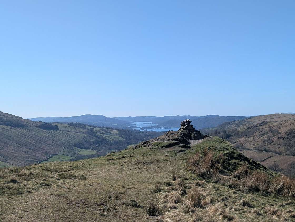 Summit likely clagged inTroutbeck Tongue from Troutbeck10.52 km~519 m climb~2¾–4 hFrom Town Head, TroutbeckModerate effort Hard: steepnessPlannedPark: unnamed layby north-west of Sour Howes · Bus: 508 at the start
- Crummock Water shore circuit13.17 km~191 m climb~2¾–4 hFrom Buttermere villageModerate effort Moderate: distancePlannedPark: Buttermere village (LDNPA, paid) · Bus: 77 at the start (seasonal: none 2 Nov to 21 Mar)The full circuit of Crummock Water — about 8.2 miles around one of the loveliest of the western lakes. Largely level but long, and boggy in places along the western shore.
Back by 14:50 35
Over four hours at a steady pace. These use most of the light the rule allows: on the earliest December sunset there is between one and two hours in hand, and stops are not in the time. Start at 10:00, not later.
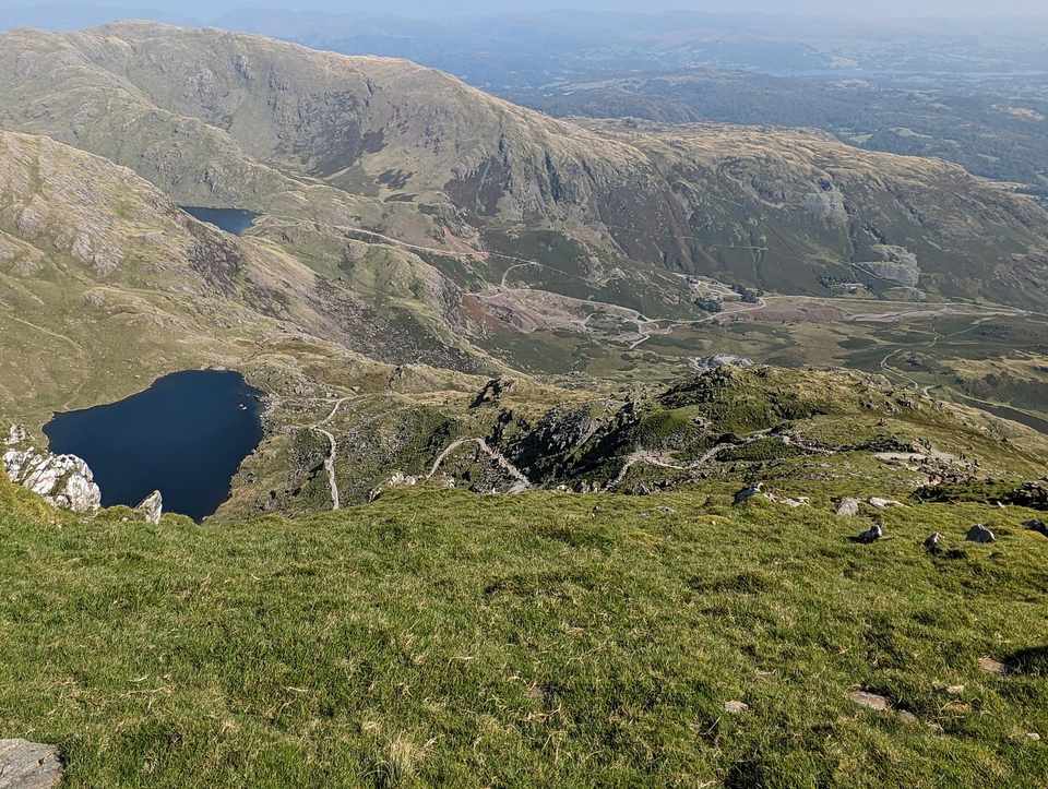 Too windy for the topsThe Old Man of Coniston, up and down from Coniston8.81 km~759 m climb~3–4¼ hFrom Coniston, Ruskin Avenue car parkModerate effort Severe: steepnessWalked in partPark: Coniston, Ruskin Avenue (paid) · Bus: 505 at the startA loop of about 8.8 km from the middle of Coniston to the top of the Old Man of Coniston (802 m) and back, with about 760 m of climbing: out along the Walna Scar Road and up the fell's south side by Little Arrow Edge, then down the main path past Low Water Quarry and Coniston Waterfall into the village.
- Too windy for the topsThe Greendale Horseshoe8.56 km~789 m climb~3–4¼ hFrom GreendaleModerate effort Severe: steepnessPlannedPark: Greendale (layby) (free)A round of about 8.6 km from Greendale in Wasdale over Middle Fell, Seatallan, Glade How and Buckbarrow, with about 790 m of climbing: straight up Middle Fell from the road, down to the col between the two fells and steeply up Seatallan, then down its long south ridge over Glade How to Buckbarrow, and a steep path back down to Greendale.Measured from the GPX track: the steepest sustained climb, about 38%.
- The full circuit of Derwentwater from Keswick14.38 km~103 m climb~3–4¼ hFrom Keswick, the lakeside landing stagesModerate effort Hard: distancePlannedPark: Lakeside long stay car park, Keswick (paid) · Bus: 78, 530 m walk from Keswick, outside Daleview HotelA loop of about 14.4 km right round Derwentwater from the Keswick landing stages, with about 100 m of climbing: south along the east shore past Friar's Crag to Lodore, over the River Derwent on a footbridge at the head of the lake, north along the west shore past Brandelhow and Hawes End to Portinscale, and back into Keswick through the town.
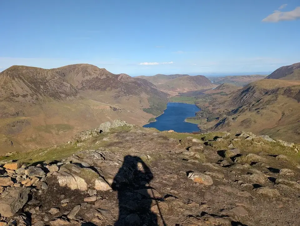 Too windy for the topsFleetwith Edge and Haystacks8.83 km~767 m climb~3–4¼ hFrom Gatesgarth FarmModerate effort Severe: steepnessPlannedPark: Gatesgarth Farm, Buttermere (paid) · Bus: 77 at the start (seasonal: none 2 Nov to 21 Mar)A loop of about 8.8 km from Gatesgarth Farm, at the head of Buttermere, with about 770 m of climbing: steeply up Fleetwith Edge to the top of Fleetwith Pike, along the top and down quarry tracks and a public bridleway to Warnscale Beck, up past Blackbeck Tarn to the top of Haystacks, then down to Scarth Gap and back to Gatesgarth on the Scarth Gap bridleway.Measured from the GPX track: the steepest sustained climb, about 42%.
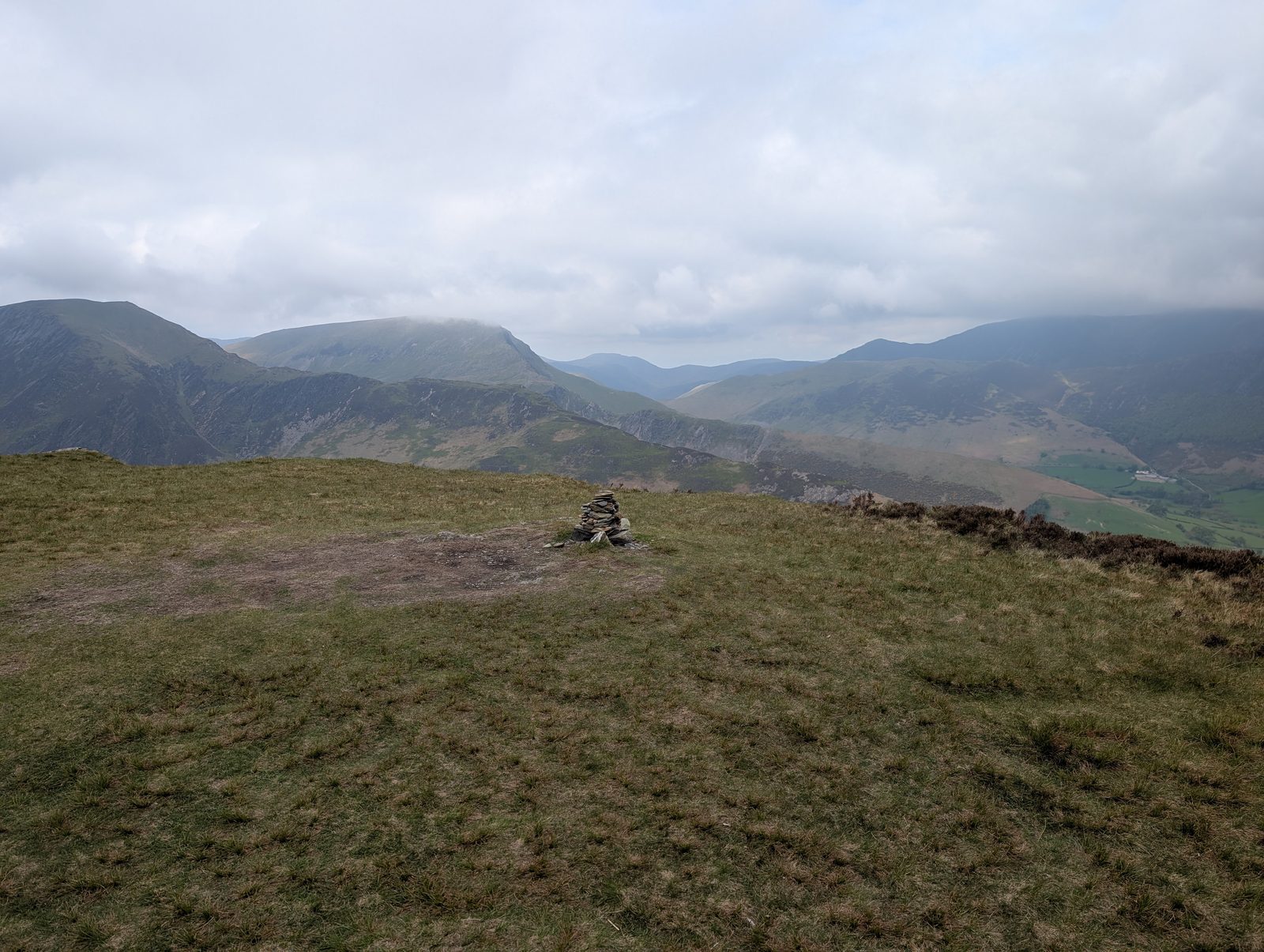 Too windy for the topsMaiden Moor and High Spy10.16 km~653 m climb~3–4¼ hFrom Brackenburn layby, below Cat BellsModerate effort Hard: steepnessPlannedPark: unnamed layby south-east of Cat Bells · Bus: 77, 910 m walk from Brandelhow Park (outside) (seasonal: none 2 Nov to 21 Mar)A loop of about 10.2 km from a layby on the lane below Cat Bells, with about 650 m of climbing: up the public bridleway from Manesty to Hause Gate, south along the ridge over Maiden Moor to High Spy, then steeply down a public footpath past Nitting Haws and back along the lanes past Manesty.Measured from the GPX track: the steepest sustained descent, about 32%.
- Too windy for the topsLingmoor Fell from Elterwater11.51 km~489 m climb~3–4¼ hFrom Elterwater VillageModerate effort Moderate: distance, steepness, terrain, navigation and exposurePlannedPark: Elterwater (NT, paid) · Bus: 516 at the startThe best low fell in Langdale, and the one that shows you the valley properly. Lingmoor sits between Great and Little Langdale, so the Pikes rear up across the dale in front of you the whole way along the ridge. Side Pike at the far end throws in a famous rock squeeze. Half the effort of the big Langdale rounds and arguably a better view of them.
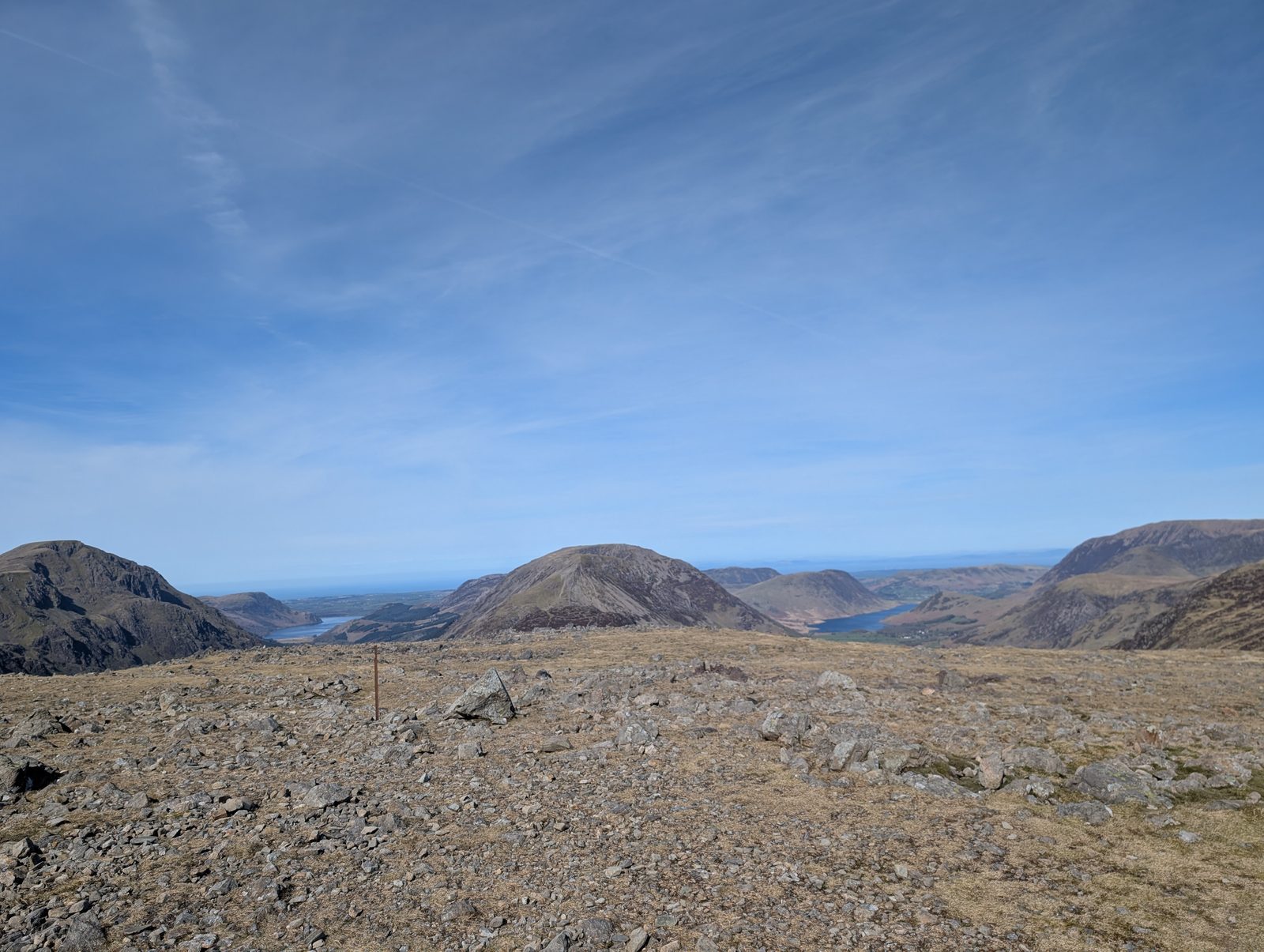 Too windy for the topsGreat Gable from Honister Slate Mine9.61 km~721 m climb~3–4¼ hFrom Honister Slate MineModerate effort Severe: steepness and navigationPlannedPark: Honister (NT, paid) · Bus: 77 at the start (seasonal: none 2 Nov to 21 Mar)The kindest way to England’s most-loved mountain. Honister starts you at 350 m. The route goes out along Moses Trod, under Gable Crag to Beck Head, climbs the steep, stony north-west ridge onto Great Gable, and comes back over Green Gable, Brandreth and Grey Knotts. Four Wainwrights, a summit war memorial and the finest view in Lakeland down into Wasdale — but the top is a broad boulder plateau, and in cloud it is one of the great navigation traps.Measured from the GPX track: the steepest sustained climb, about 45%. Terrain and navigation: our judgement from the map and the route’s record; not walked yet.
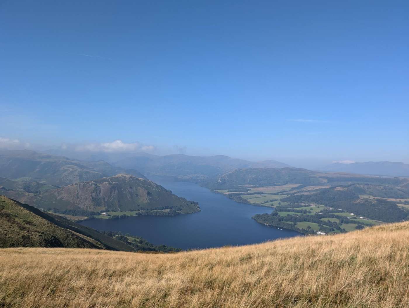 Too windy for the topsHeughscar Hill & Arthur's Pike11.68 km~437 m climb~3–4¼ hFrom Pooley BridgeModerate effort Moderate: distance, steepness and navigationPlannedPark: Pooley Bridge, Finkle Street car park (free) · Bus: 508 at the startTwo gentle tops above Pooley Bridge — 11.7 km and 437 m, with one 22% pull over 250 m early on, and moderate for length, steepness, ground and navigation: around 3–4¼ hours.Measured from the GPX track: the distance; the steepest sustained climb, about 19%. Navigation: estimated from the map, not checked on the ground. Summary checked by Lee McCoy, 26 August 2026.
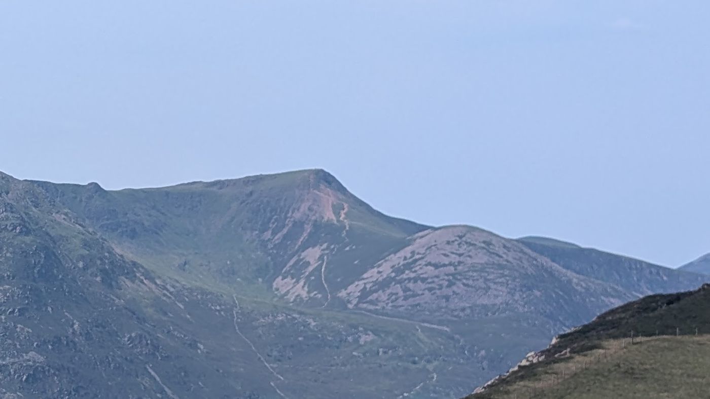 Too windy for the topsRed Pike by Scale Force9.25 km~756 m climb~3–4¼ hFrom Buttermere villageModerate effort Hard: steepnessPlannedPark: Buttermere village, by the Bridge Hotel (roadside, free) · Bus: 77 at the start (seasonal: none 2 Nov to 21 Mar)A loop of about 9.3 km from Buttermere village, with about 760 m of climbing: up the public bridleway past Bleaberry Tarn to Dodd and Red Pike, then down north-west and beside Scale Beck past Scale Force, and back east to the village along the foot of the fells.
- Ulthwaite Rigg12.62 km~368 m climb~3–4¼ hModerate effort Severe: navigationPlannedPark: Wet Sleddale Reservoir Car ParkOne top on the Shap fells, out and back in 12.6 km with 368 m of climbing averaging about 5% with one 22% descent over 250 m on the way back. The navigation is rated SEVERE — the only route here to carry that on any axis but steepness. About 3–4¼ hours.Measured from the GPX track: the steepest descent, about 22% over 250 m. Navigation: estimated from the map, not checked on the ground. Summary checked by Lee McCoy, 26 August 2026.
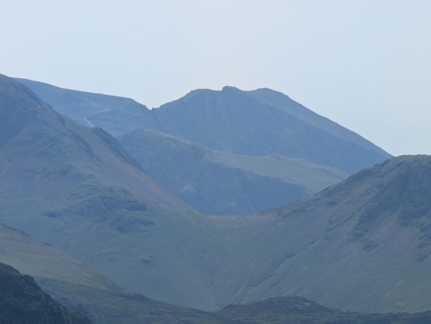 Too windy for the topsScafell Pike from Wasdale, by Lingmell Col8 km~915 m climb~3–4¼ hFrom Wasdale HeadModerate effort Severe: steepness and navigationPlannedPark: Lake Head, Wasdale (NT, paid)The most-walked way up the highest mountain in England, and the shortest — 8 km and 915 m straight out of Wasdale Head. It is a hard, stony climb up Brown Tongue into Hollow Stones, then a boulder-strewn haul to the roof of the country. Do not mistake ‘popular’ for ‘easy’.Terrain and navigation: our judgement from the map and the route’s record; not walked yet.
- Too windy for the topsStile End, Outerside, Causey Pike, Rowling End10.08 km~692 m climb~3–4¼ hModerate effort Severe: steepnessWalked in partPark: Braithwaite village (roadside/small areas) · Bus: X5 at the start (the 77 is seasonal: none 2 Nov to 21 Mar)Four small Newlands tops in 10.1 km, though 692 m of ascent packed into that makes it steeper than the distance suggests, with one stage averaging 16%. Both the terrain and the exposure are rated hard along Causey Pike's knobbly crest. About 3–4¼ hours.Measured from the GPX track: the distance; the steepest sustained descent, about 42%. Exposure and terrain: our judgement from the map and the route’s record; that stretch not walked. Summary checked by Lee McCoy, 26 August 2026.
- Awkward Around Swinside Fell12.25 km~430 m climb~3–4¼ hModerate effort Hard: navigationPlannedPark: Corney Fell road summit (verge)Stoupdale Head, White Combe and Stoneside Hill in the far south-west — 12.25 km and 430 m, with a steepest sustained pull of about 22%. The name is earned by the navigation, which is rated hard. Around 3–4¼ hours.Measured from the GPX track: the steepest sustained climb, about 22%. Navigation: estimated from the map, not checked on the ground. Summary checked by Lee McCoy, 26 August 2026.
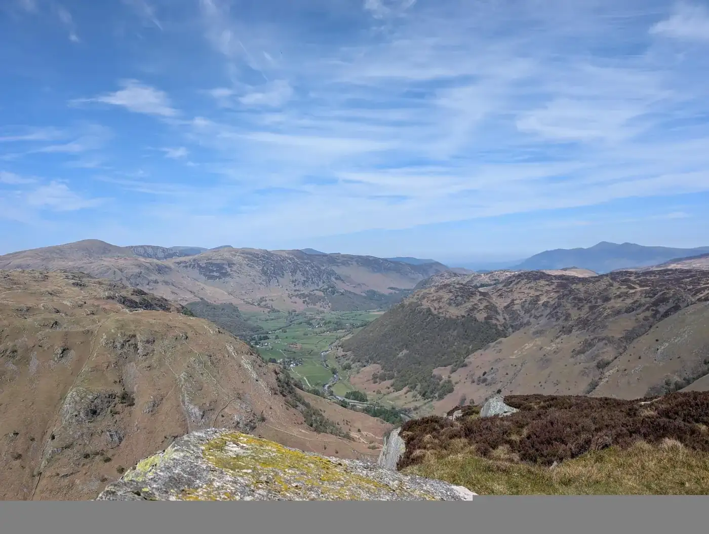 Too windy for the topsThe Difficult Route up Eagle Crag10.71 km~611 m climb~3–4¼ hFrom StonethwaiteModerate effort Severe: steepnessPlannedPark: Stonethwaite village (roadside, free) · Bus: 78, 710 m walk from Rosthwaite, opposite Longthwaite road end
- Ashness Bridge & Surprise View13.43 km~322 m climb~3–4½ hFrom Keswick (lakeside)Moderate effort Hard: steepnessPlannedPark: Lakeside long stay car park, Keswick (paid) · Bus: 78, 350 m walk from Keswick, outside Daleview HotelA circular of about 13.4 km (8.3 miles) from Keswick along the eastern shore of Derwentwater taking in the iconic Ashness Bridge and the Surprise View over the lake. Mostly low-level (it passes below Walla Crag, not over it).
- DryBirketts North of Loweswater10.58 km~655 m climb~3–4½ hFrom Lay-by west of Darling Fell, LoweswaterModerate effort Hard: steepness, terrain and navigationPlannedPark: unnamed layby west of Darling Fell · Bus: 77, 4.8 km walk from Lanthwaite Green Farm (opposite) (seasonal: none 2 Nov to 21 Mar)A loop of about 10.6 km and 650 m of climbing from the lay-by on the lane north of Loweswater, over seven Birketts on the low fells between Loweswater and the Lorton valley: Darling Fell, Low Fell’s south top, Low Fell, Sourfoot Fell, Smithy Fell, Fellbarrow and Hatteringill Head. Out by a bridleway and a steep pull onto Darling Fell, north along the ridge, and back by old unsurfaced lanes.Measured from the GPX track: the steepest sustained climb, about 31%.
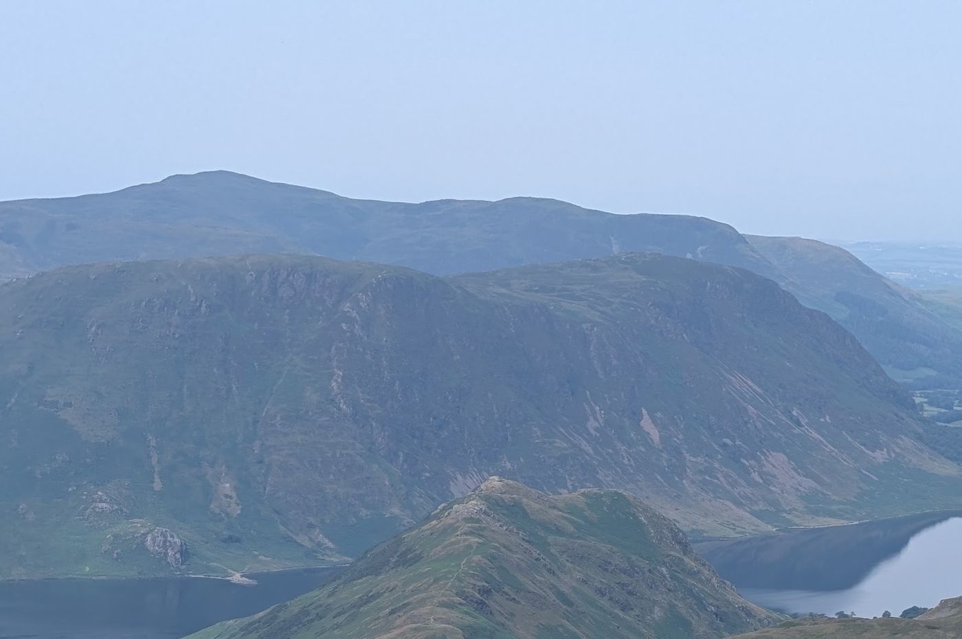 Too windy for the topsMellbreak and Crummock Water11.71 km~535 m climb~3–4½ hModerate effort Severe: steepnessPlannedPark: Maggie's Bridge, Loweswater (NT, paid) · Bus: 77, 3.2 km walk from Lanthwaite Green Farm (opposite) (seasonal: none 2 Nov to 21 Mar)Both Mellbreak tops above Crummock Water — 11.7 km and 535 m, severe for steepness, with one stage averaging 14%. About 3–4½ hours.Measured from the GPX track: the steepest sustained climb, about 42%. Summary checked by Lee McCoy, 26 August 2026.
 Too windy for the topsMiddle Dodd Little Hart Crag and High Hartsop Dodd10.42 km~743 m climb~3¼–4½ hFrom Cow BridgeModerate effort Severe: steepnessWalked July 2025Park: Cow Bridge, Hartsop (paid) · Bus: 508 at the startA short round with a very long climb in it: 528 m up to Middle Dodd in the first 4.3 km, including a sustained pull of about 56% over 250 m. The way down is just as steep. Off High Hartsop Dodd the descent reaches about 56% over 250 m around 7.9 km, and it is hard on the knees. Hard for terrain, navigation and exposure; 10.4 km and 743 m in all.Measured from the GPX track: the steepest sustained climb, about 53%; the steepest descent, about 56% over 250 m. Exposure, terrain and navigation: graded by Lee on the ground. Summary checked by Lee McCoy, 24 September 2026.
 Summit likely clagged inWansfell Pike and Baystones11.92 km~560 m climb~3¼–4½ hFrom AmblesideModerate effort Hard: steepnessWalked June 2023Park: Ambleside, Low Fold (paid) · Bus: 555 at the startThe pair above Ambleside — 11.9 km and 560 m, stages averaging about 12% with a 33% pull over 250 m onto Wansfell Pike, and easy for both navigation and exposure. A straightforward half-day at about 3¼–4½ hours.Measured from the GPX track: the steepest sustained climb, about 31%. Exposure and navigation: graded by Lee on the ground. Summary checked by Lee McCoy, 26 August 2026.
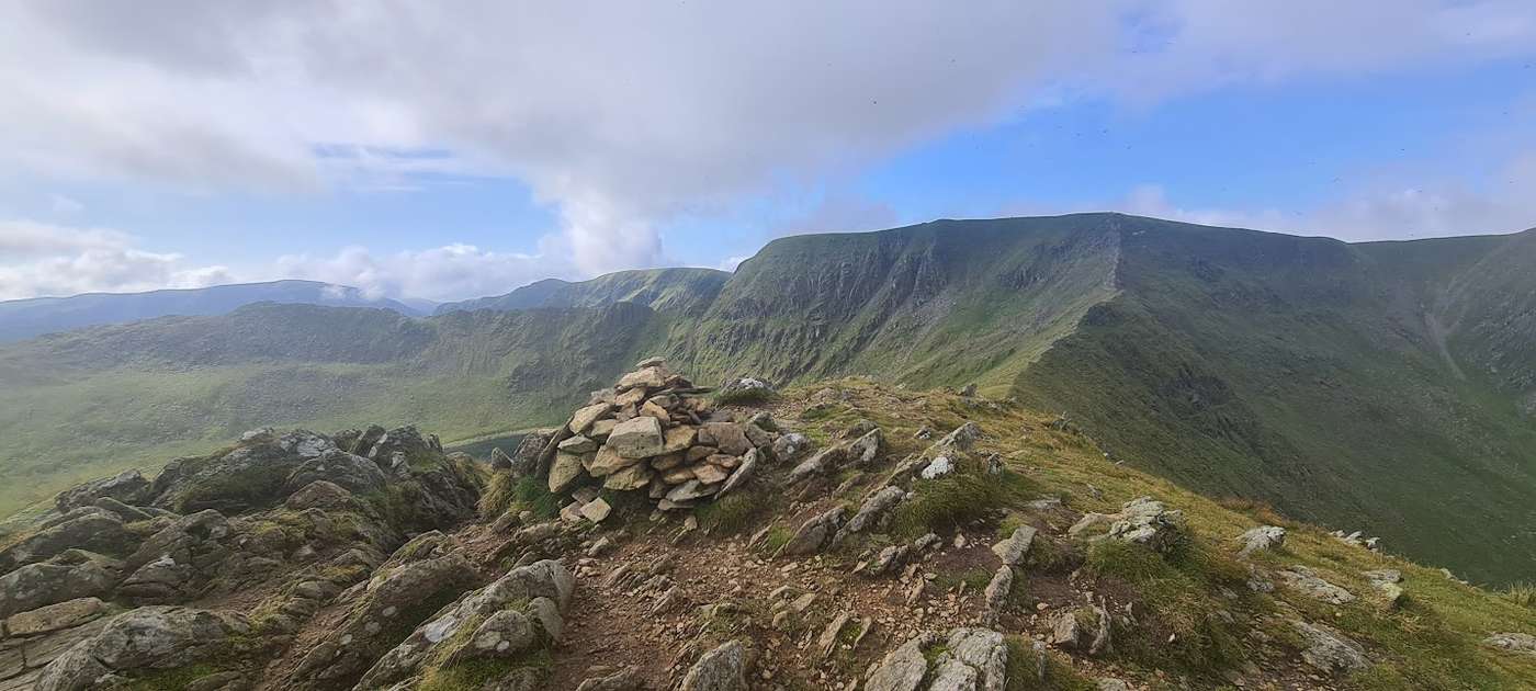 Too windy for the topsHelvellyn from Swirls: the walkers’ way up9.37 km~856 m climb~3¼–4½ hModerate effort Severe: steepnessWalked in partPark: Swirls, Thirlmere (paid) · Bus: 555 at the startThe straightforward way up England’s third-highest fell — no scrambling, no knife edges, just a long, honest and steep climb from Thirlmere up Browncove Crags (about 42% over its steepest 250 m) to the summit plateau, returning over Lower Man and White Side. This is the route to take if Striding Edge frightens you, and there is no shame whatever in taking it: the view from the top is exactly the same.Measured from the GPX track: the steepest sustained climb, about 38%. Exposure: our judgement from the map and the route’s record; that stretch not walked.
- Too windy for the topsGlaramara, Allen Crags via Stockley Bridge9.74 km~826 m climb~3¼–4½ hFrom Seathwaite FarmModerate effort Severe: steepnessPlannedOne-way: finishes 0.8 km from the start in a straight line · Start: Seathwaite Farm, Borrowdale (free verge) · Bus: 78, 2.1 km walk from Seatoller, at National Trust car park
- Too windy for the topsGreen Crag & Great Whinscale — the wild Birker Fell round12.03 km~544 m climb~3¼–4½ hFrom Birker Fell Road (Devoke Water)Moderate effort Hard: terrainPlannedPark: Devoke Water turning, Birker Fell road (verge) (free)A wild, trackless round over the knobbly tops of Birker Fell, in the empty south-western corner of the Lakes that most walkers never reach. From the Birker Fell road, at the turning for Devoke Water, it heads north-north-east across open, boggy moor to a cluster of five rocky little summits: Great Whinscale, Crook Crag, then Green Crag, the Wainwright and high point of the day, before Broad Crag and Great Crag on Birker Fell. About 12 km but genuinely rough underfoot, with a big view over the Duddon, Eskdale and out to the sea.Terrain: our judgement from the map and the route’s record; not walked yet. Navigation: estimated from the map, not checked on the ground.
 Too windy for the topsSt Sunday Crag10.22 km~838 m climb~3¼–4¾ hFrom PatterdaleModerate effort Severe: steepnessWalked January 2025Park: Patterdale Hotel Car Park (Patterdale Hotel, paid) · Bus: 508 at the startThree tops and an outlier on the long Patterdale ridge: Arnison Crag, Birks and St Sunday Crag, with Gavel Pike a short detour off the summit, 10 km and 838 m. The walking line stays clear of the crags, but it is not all grass: the ridge to St Sunday Crag turns rocky, and the way back off Gavel Pike crosses steep grass and small rocky steps that are treacherous when wet or icy. The descent reaches about 45% over 250 m near 8.3 km.Measured from the GPX track: the steepest descent, about 45% over 250 m. Summary checked by Lee McCoy, 24 September 2026. Hazard notes checked by Lee McCoy: Arnison Crag (14 June 2026), Birks (14 June 2026) and St Sunday Crag (13 June 2026); they draw on Patterdale Mountain Rescue Team.
 Too windy for the topsHartsop Dodd, Stony Cove Pike, Thornthwaite Crag and Gray Crag10 km~858 m climb~3¼–4¾ hFrom Hartsop villageModerate effort Severe: steepnessWalked February 2025Park: Hartsop village (donation) · Bus: 508, 590 m walk from Hartsop, adjacent to road endFour tops above Hartsop in 10 km with 858 m of climbing, including a stage averaging 35% — as steep as anything on the site. Severe for steepness but only moderate for navigation and exposure. About 3¼–4¾ hours.Measured from the GPX track: the steepest sustained climb, about 51%. Exposure and navigation: graded by Lee on the ground. Summary checked by Lee McCoy, 26 August 2026.
 DryBirketts by Gowbarrow12.03 km~591 m climb~3¼–4¾ hFrom Aira Force (NT, paid)Moderate effort Hard: steepness and navigationWalked in partPark: Aira Force (NT, paid) · Bus: 508 at the startFive tops around Gowbarrow Park above Ullswater, including the Wainwright summit of Gowbarrow Fell — 12 km and 591 m, with one stage averaging 16%. Rated hard to navigate despite the modest scale. Around 3¼–4¾ hours.Measured from the GPX track: the steepest sustained descent, about 27%. Navigation: estimated from the map, not checked on the ground. Summary checked by Lee McCoy, 26 August 2026.
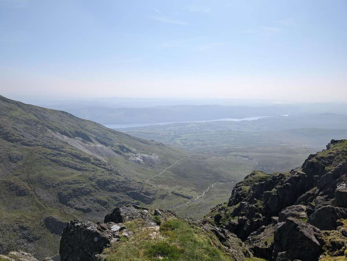 Too windy for the topsDow Crag without the Old Man11.88 km~630 m climb~3¼–4¾ hFrom Walna Scar Road car parkModerate effort Hard: steepness and navigationPlannedPark: Walna Scar Road, Coniston (paid, rough track) · Bus: 505, 1.8 km walk from Coniston, outside The Ruskin CentreA loop of about 11.9 km from the Walna Scar Road car park above Coniston, with about 630 m of climbing: out along the Walna Scar Road, up a public footpath past Goat's Water to Goat's Hawse and the top of Dow Crag, along the ridge over Buck Pike and Brown Pike, out over Walna Scar to White Maiden and back, and down the Walna Scar Road.
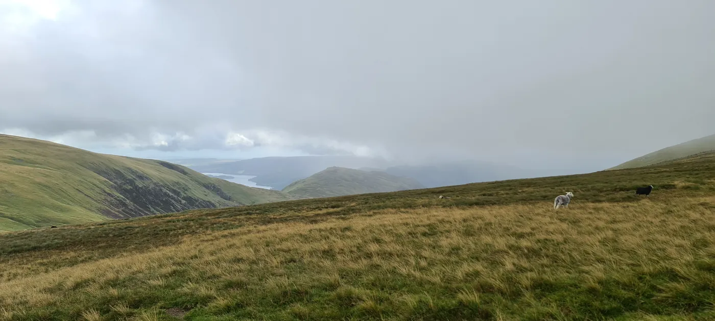 Too windy for the topsBrown Crag and Raise10.76 km~779 m climb~3¼–4¾ hModerate effort Severe: steepnessPlannedPark: Legburthwaite (United Utilities, small) (paid) · Bus: 555 at the startThree tops on the western flank of the Helvellyn range, Brown Crag through White Side to Raise. 779 m of ascent in 10.8 km with one stage averaging 15% and a 46% pull over 250 m early on. Navigation is only moderate here, the paths being clear enough. Roughly 3¼–4¾ hours.Measured from the GPX track: the steepest sustained descent, about 40%. Navigation: estimated from the map, not checked on the ground. Summary checked by Lee McCoy, 26 August 2026.
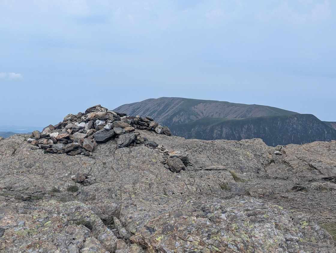 Too windy for the topsLittle Dale Horseshoe10.77 km~793 m climb~3¼–4¾ hFrom Chapel Bridge Car ParkModerate effort Hard: steepness and navigationPlannedPark: Little Town, Newlands (paid, small) · Bus: 77, 2.7 km walk from Manesty, outside Cocklety How (seasonal: none 2 Nov to 21 Mar)A loop of about 10.8 km from Chapel Bridge in Newlands, round Little Dale, with about 790 m of climbing: along the lane and up High Snab Bank to Robinson, over to Hindscarth, and down the ridge over High Crags, Red Knott and Scope End.
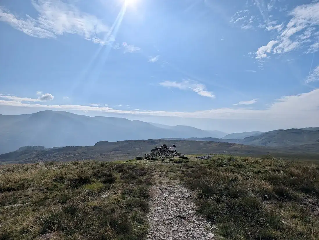 Too windy for the topsBrown Rigg & Blea Tarn13.49 km~509 m climb~3½–4¾ hFrom Dob Gill, ThirlmereModerate effort Hard: terrain and navigationPlannedPark: Dob Gill, Thirlmere (closed); nearest: Steel End, Thirlmere (paid), about 1.3 km on foot · Bus: 555, 1.8 km walk from Thirlmere, at Armboth turnFour tops on the boggy watershed above Thirlmere — Brown Rigg, Shivery Knott, Middle Crag and High Tove — in 13.5 km with 509 m of climbing. Rated hard to navigate, which is the whole character of this ground. About 3½–4¾ hours.Terrain: our judgement from the map and the route’s record; not walked yet. Navigation: estimated from the map, not checked on the ground. Summary checked by Lee McCoy, 26 August 2026.
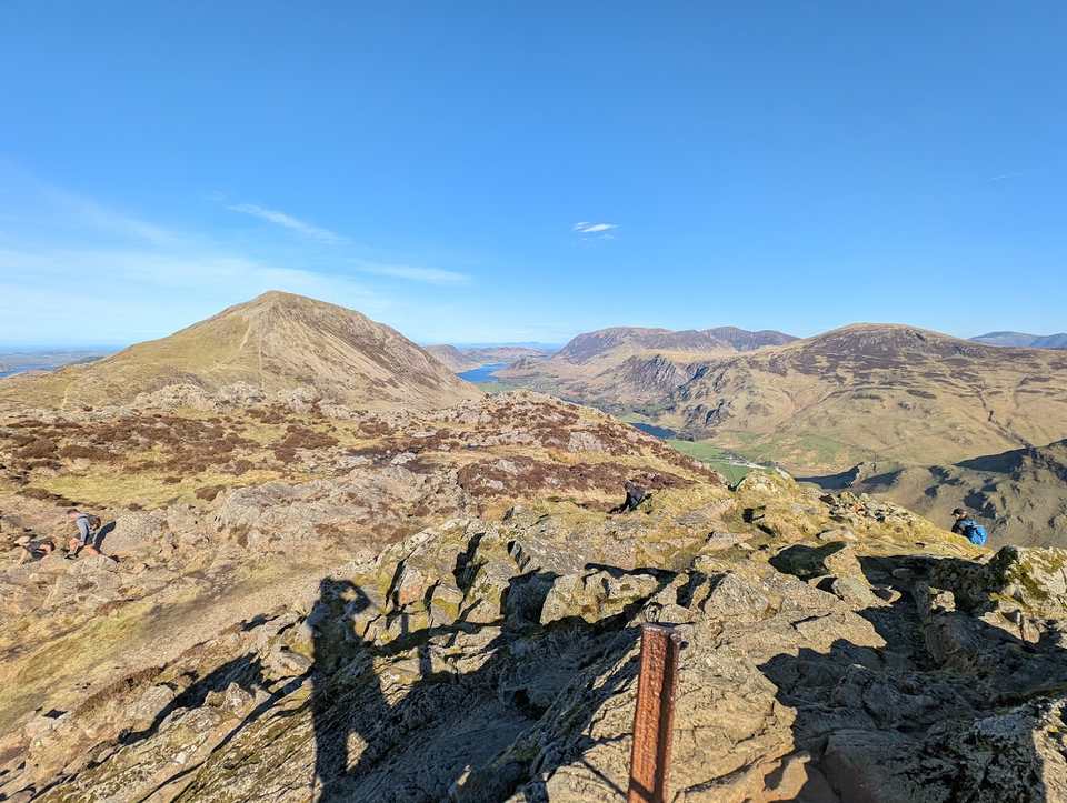 Too windy for the topsHaystacks11.21 km~792 m climb~3½–4¾ hModerate effort Hard: steepness and navigationWalked April 2026Park: Honister Pass (paid, slate mine) · Bus: 77 at the start (seasonal: none 2 Nov to 21 Mar)From Honister up the old quarry tracks to Fleetwith Pike, down past Dubs Hut to the tarns and rocky knolls of Haystacks, then a late climb back over Brandreth and Grey Knotts — four Wainwrights in one round. There is a scramble to the true top of Haystacks, and a maze of paths up there that needs care in cloud.Exposure: graded by Lee on the ground. Navigation: estimated from the map, not checked on the ground. Summary checked by Lee McCoy, 26 August 2026.
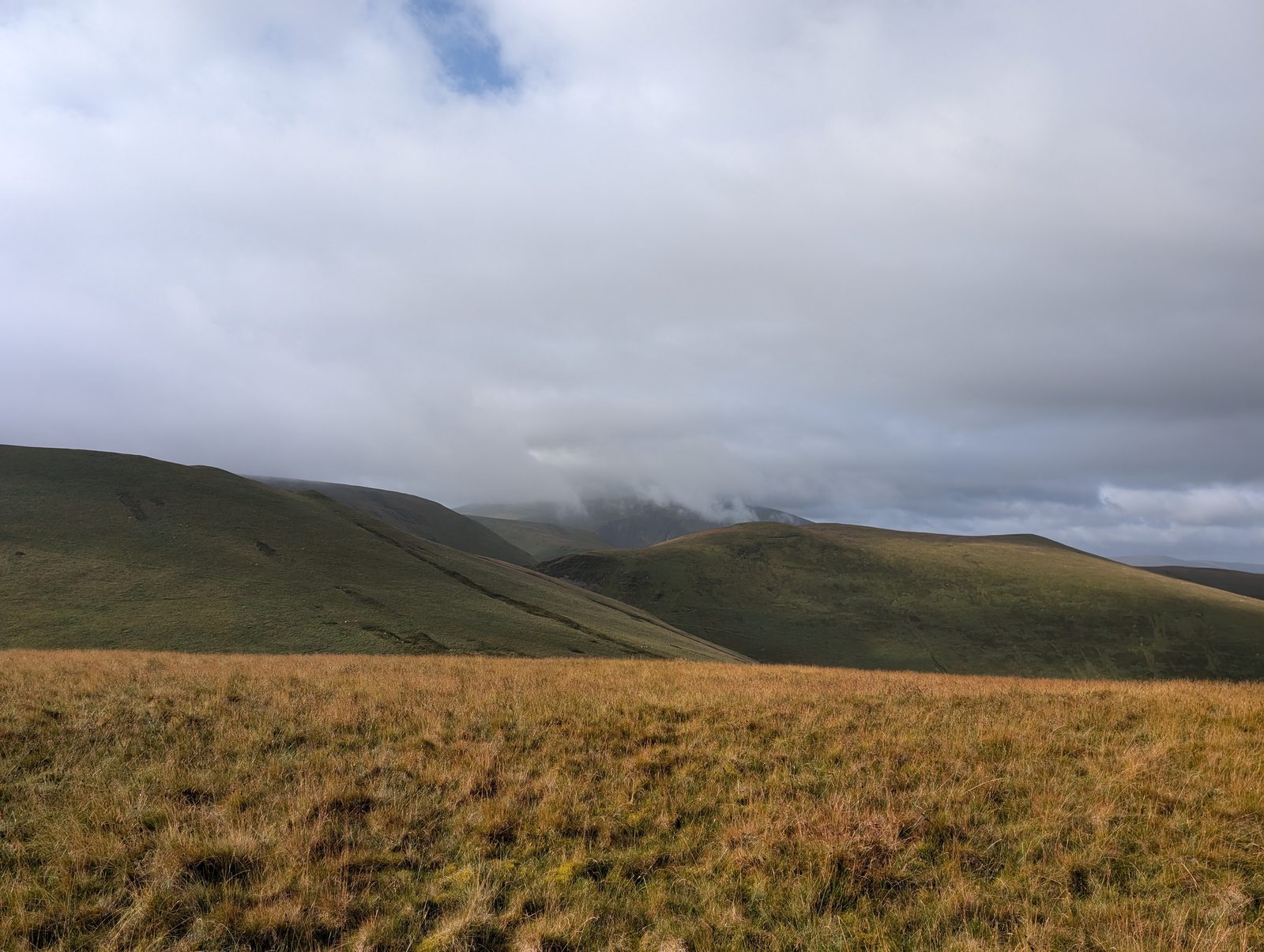 Too windy for the topsA quiet Birkett12.99 km~587 m climb~3½–4¾ hFrom UldaleModerate effort Hard: steepness and navigationPlannedPark: Little Cockup car parkThree low tops on the empty northern edge of the fells — Green How, Lowthwaite Fell and Longlands Fell — in a 13 km round with 587 m of climbing. The steepest sustained descent is about 30%, late on; about 3½–4¾ hours of walking.Measured from the GPX track: the steepest descent, about 35% over 250 m. Summary checked by Lee McCoy, 26 August 2026.
- Too windy for the topsAllen Crags & Glaramara10.94 km~853 m climb~3½–5 hFrom Seathwaite FarmModerate effort Severe: steepnessPlannedPark: Seathwaite Farm, Borrowdale (free verge) · Bus: 78, 2.2 km walk from Seatoller, at National Trust car parkGlaramara's knobbly crest and Allen Crags, five summits linked along the ridge above Borrowdale. 853 m of climbing in 10.9 km, rated severe for steepness though navigation and exposure both stay moderate. About 3½–5 hours.Measured from the GPX track: the steepest sustained descent, about 49%. Exposure and navigation: our judgement from the map and the route’s record; not walked yet. Summary checked by Lee McCoy, 26 August 2026.
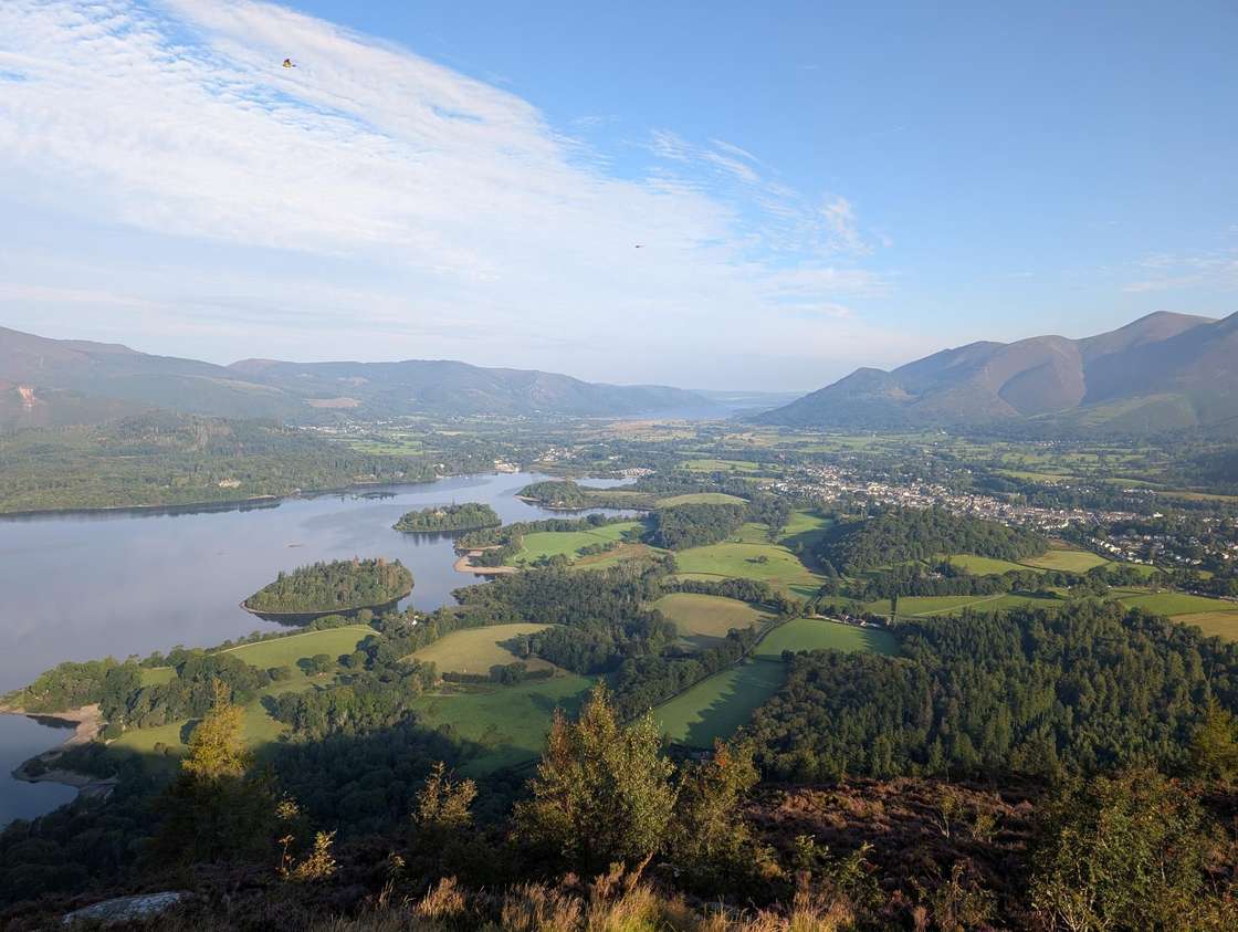 Too windy for the topsWalla Crag and Bleaberry Fell from Keswick12.53 km~658 m climb~3½–5 hFrom Keswick town centreModerate effort Hard: steepnessPlannedPark: Keswick, Central Car Park (paid) · Bus: 555 at the startA proper fell day that starts and finishes on foot from Keswick — no car needed. Walla Crag gives one of the great Derwentwater views for very little effort; Bleaberry Fell behind it is a rougher, boggier proposition. Together they make a satisfying half-day horseshoe straight out of the town.Terrain: our judgement from the map and the route’s record; not walked yet.
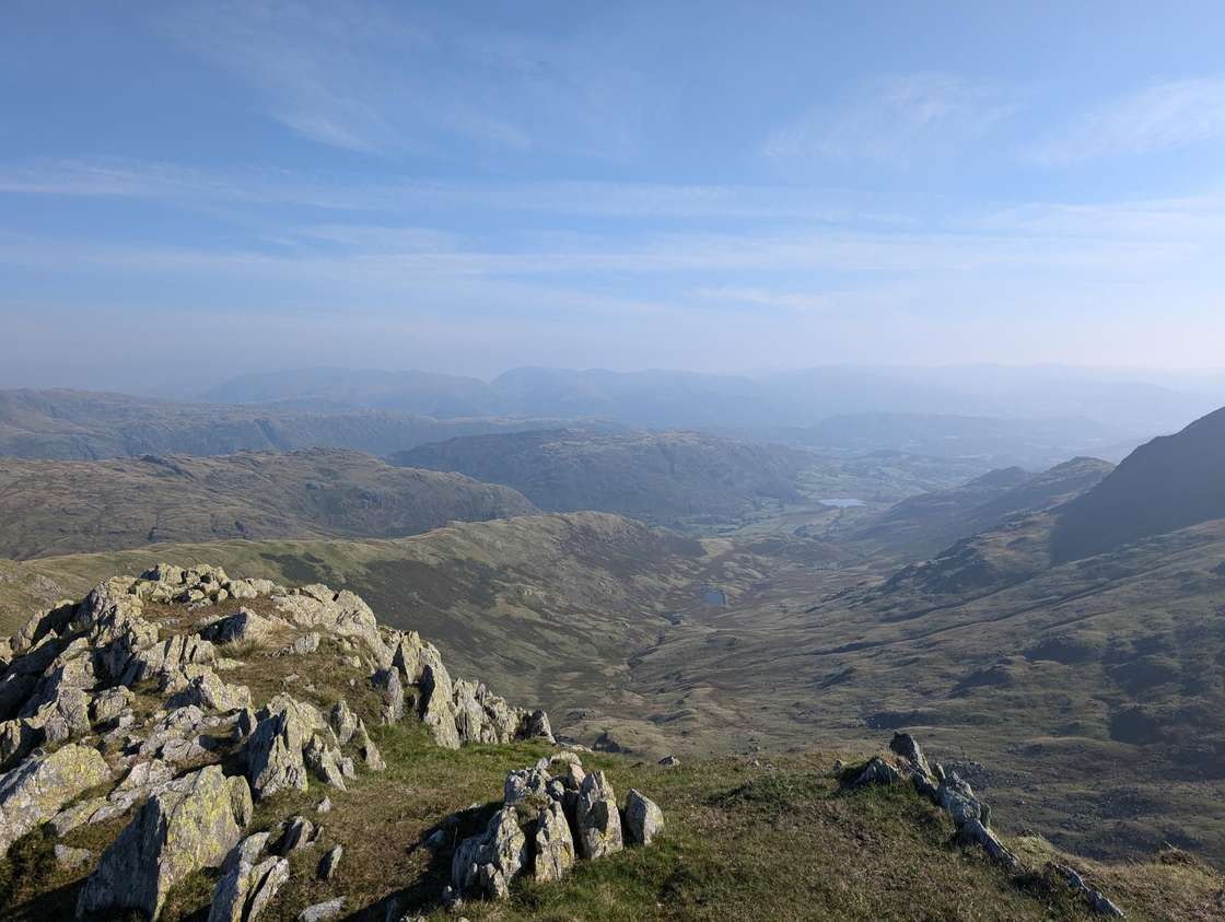 Too windy for the topsBlack Sails & Great How10.94 km~822 m climb~3½–4¾ hFrom Wrynose Pass Car ParkModerate effort Hard: steepness and navigationPlannedPark: Hell Gill Pike (verge, south) · Bus: 516, 4.8 km walk from Old Dungeon Ghyll HotelSix tops on the Coniston skyline — Hell Gill Pike, Little Carrs, Great Carrs, Swirl How, Great How and Black Sails — in 10.9 km with 822 m of climbing, one stage averaging 19% and a 37% pull over 250 m off the road at the start. Hard to navigate; about 3½–4¾ hours.Measured from the GPX track: the steepest sustained descent, about 32%. Navigation: estimated from the map, not checked on the ground. Summary checked by Lee McCoy, 26 August 2026.
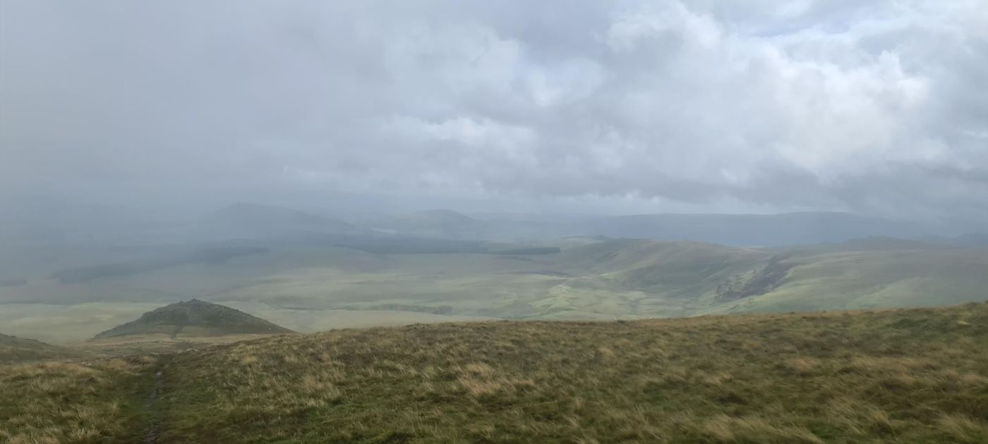 Too windy for the topsThrelkeld Knotts & Clough Head11.2 km~803 m climb~3½–5 hFrom Wanthwaite Bridge Car ParkModerate effort Severe: steepnessPlannedPark: St John's in the Vale verge, High Rigg (free) · Bus: X4 and X5, 2.4 km walk from Threlkeld West End (near) (the 509 is seasonal: none 2 Nov to 21 Mar)Clough Head is the northern full stop of the Dodds, and this takes it with Threlkeld Knotts and Calfhow Pike. 11.2 km, 803 m, and a 16% stage that does most of the climbing early on. Severe for steepness. Around 3½–5 hours.Measured from the GPX track: the steepest sustained descent, about 48%. Summary checked by Lee McCoy, 26 August 2026.
Nothing matches those filters — .
Map
● routes
An interactive map of the walks and fells in this collection. Each marker links to its page; the same walks and fells are listed on this page.
How the list is chosen. For every route we hold, we take the slower end of the time on its card (our steady pace, walking time without stops) and add it to a 10:00 start. A walk is listed when that finish leaves at least an hour before sunset at the walk’s start on each of three days: 31 October, after the clocks have gone back; 30 November; and 14 December. Those are the days in each month when the sun sets earliest. Sunset is the almanac’s, for a flat horizon. It is not the moment the sun drops behind the fells around the start, which can come much earlier while the light lasts. Scrambles, where you need your hands for more than a few steps, are left off.
Common questions
Why a 10:00 start?
It is a start you can make after a drive or a bus in, and it gives every walk the same clock to be measured against. Start earlier and you have more light in hand; start later and you spend the hour the list leaves you. Each route page shows its own time at your pace.
What is the hour in hand for?
Everything the walking time leaves out. The time on each card is walking only, at our steady pace: stops for food, photographs, a wrong turn or slow ground all come out of that hour. The twilight after sunset is not counted in it, so the hour ends at sunset, not at dark.
Does the list hold in January?
Yes. At every walk start we hold, January’s earliest sunset, on New Year’s Day, is later than December’s, so each walk here keeps at least the same hour in hand through January.
Is a walk on this list right for a winter day?
Not on the light alone. A walk that fits the daylight can still be the wrong walk for the day: snow, ice, wind and low cloud are separate questions, and some walks here go high. Check the mountain forecast, read the route page’s warnings, and see our winter on the fells guide.
Why is the sunset not when the sun goes behind the fells?
Because losing the sun is not losing the light. In a valley the sun can drop behind the fells well before sunset while it stays light enough to walk. We use the almanac sunset, for a flat horizon, to decide whether a walk fits; how early the sun leaves a valley is a different figure, and it gates nothing here.