Walks under two miles
Three short walks to a summit or a waterfall
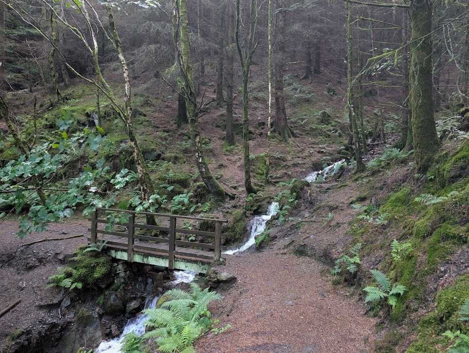
- Stock Ghyll Force1.92 km (1.2 miles) for the whole outing · past Stock Ghyll Force, a waterfall~30–45 min
- Hallin Fell1.98 km (1.2 miles) for the whole outing · to the top of Hallin Fell~40–55 min
- Binsey Walk2.35 km (1.5 miles) for the whole outing · to the top of Binsey~45–65 min
How this list is chosen. A walk is on this list when the whole outing, there and back included, is 3.2 km (two miles) or less. No store of ours measures a view, so these three are the shortest walks here that reach a summit or pass a waterfall the route page shows. Short does not mean flat. How we check our routes.
Every walk here is two miles or less for the whole outing — 3.2 km from where you start and back again. In Cumbria Tourism's 2025 visitor survey, 56% of visitors took short walks of up to two miles. Distances are for the walk from its named start and back; walking from a bus stop or other parking is extra. Short does not mean flat: Hallin Fell and Binsey climb steeply to a real summit, so each walk says the one thing to know before you set off. For pushchairs, see our pushchair-friendly walks; for a first fell, the easy & family walks.
The count is of the list on this page. Distances are measured from each route’s GPX track. Times are worked from distance and climb by Naismith’s rule. How we check →
All 11 walks
Each filter reads the walk’s own card: the summit or waterfall on its first line, the toilets and bus stop mapped at its start, and its walked tag. One answer to each question.
Effort is the size of the day, from the distance and the climb; each route’s own page grades the steepness, navigation, exposure and ground underfoot, and names the hardest.
- The Bowder Stone1.16 km (0.7 miles) for the whole outing1.16 km (0.7 miles) there and back~16 m climb~15–25 minFrom Bowder Stone car park, BorrowdaleNo toilets mapped🚌 Bus stop within 500 m🐕 no stiles mappedEasy effort Moderate: navigationPlannedOut and back · Park: Quay Foot Quarry, Borrowdale (NT, paid) · Bus: 78 at the startAbout 4% over its steepest 250 m, which can hide a shorter, steeper ramp; the steel steps up the stone itself are extra. Pushchair suitability is suspended until the track is checked.Measured from the GPX track: the steepest sustained descent, about 1%.
- Stock Ghyll Force1.92 km (1.2 miles) for the whole outing · past Stock Ghyll Force, a waterfall1.92 km (1.2 miles) round~89 m climb~30–45 minFrom Ambleside (Stock Ghyll Lane, behind the Salutation)Toilets at the start🚌 Bus stop within 500 m🐕 no stiles mappedEasy effort Moderate: navigationWalked April 2026Park: Ambleside, King Street (paid) · Bus: 555, 810 m walk from Ambleside, at Hayes Garden CentreA steep-sided woodland loop from the town; the steepest descent is about 14% over 250 m, and only gates are mapped.Measured from the GPX track: the steepest descent, about 14% over 250 m.
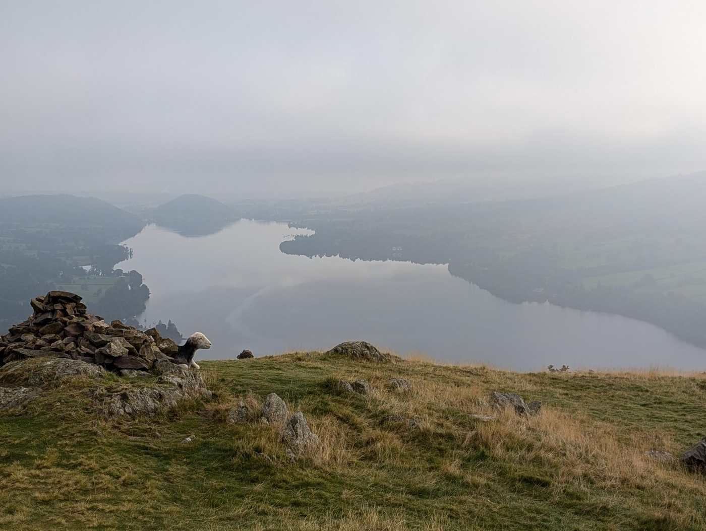 Clear tops, dryHallin Fell1.98 km (1.2 miles) for the whole outing · to the top of Hallin Fell1.98 km (1.2 miles) round~165 m climb~40–55 minFrom St Peter's Church, Howtown (The Hause)No toilets mapped🚌 Bus stop within 500 m🐕 no stiles mappedEasy effort Moderate: steepnessWalked in partOut and back · Park: unnamed car park south-east of Hallin Fell (free) · Bus: UB1, 530 m walk from Martindale Cattle Grid (near)A steep pull near the start, about 29% over its steepest 250 m, to a summit with a view over Ullswater. Not a pushchair walk.Measured from the GPX track: the steepest sustained climb, about 25%.
- Slater Bridge & Cathedral Cave2.2 km (1.4 miles) for the whole outing2.2 km (1.4 miles) round~92 m climb~35–50 minFrom Three Shires Inn, Little LangdaleNo toilets mapped🐕 some barriersEasy effort Moderate: navigationPlannedBus: 516, 2.2 km (1.4 miles) walk from Elterwater, opposite The Britannia InnCathedral Quarry: the National Trust warns of unprotected sheer drops, deep water and a chance of rockfall, and asks you to bring a torch. Uneven and rocky in places; two stiles are mapped.
 Too windy for the topsBinsey Walk2.35 km (1.5 miles) for the whole outing · to the top of Binsey2.35 km (1.5 miles) round~175 m climb~45–65 minFrom Binsey LodgeNo toilets mapped🐕 no stiles mappedEasy effort Moderate: steepnessWalked July 2024Out and back · Park: Roadside parking for Binsey (free) · Bus: 554, 3.1 km (1.9 miles) walk from Bewaldeth, on road endOpen moorland with no shelter, and far windier on top than the short climb suggests; the path climbs at about 20% over its steepest 250 m.Measured from the GPX track: the steepest sustained climb, about 19%.
 DryLatrigg2.48 km (1.5 miles) for the whole outing · to the top of Latrigg2.48 km (1.5 miles) round~106 m climb~40–55 minFrom Gale Road car park (Underscar), KeswickNo toilets mapped🐕 some barriersEasy effort Easy: distance, steepness and navigationWalked in partPark: Latrigg car park (free) · Bus: 554, 2.6 km (1.6 miles) walk from Keswick, opposite The PheasantA short, steady pull from the car park, about 17% over its steepest 250 m, to a grassy top above Keswick; one stile is mapped.Measured from the GPX track: the steepest sustained climb, about 14%.
 Blea Tarn (Little Langdale)2.66 km (1.7 miles) for the whole outing2.66 km (1.7 miles) round~34 m climb~35–50 minFrom Blea Tarn National Trust ParkingNo toilets mapped🐕 no stiles mappedEasy effort Easy: distance, steepness, terrain, navigation and exposureWalked May 2024Park: Blea Tarn (NT, paid) · Bus: 516, 2.4 km (1.5 miles) walk from Old Dungeon Ghyll HotelAbout 5% over its steepest 250 m, which can hide a shorter, steeper ramp. Its pushchair verdict is suspended: the census maps one stile on the line, which we have not checked on the ground.Measured from the GPX track: the steepest sustained climb, about 4%.
- Brant Fell from Bowness2.86 km (1.8 miles) for the whole outing · to the top of Brant Fell2.86 km (1.8 miles) round~161 m climb~50–70 minFrom Bowness PierToilets at the start🚌 Bus stop within 500 m🐕 some barriersEasy effort Moderate: steepness and navigationPlannedPark: Bowness, Glebe Road (paid) · Bus: 508 at the startA short loop of about 2.9 km from Bowness Pier to the top of Brant Fell, with about 160 m of climbing: up Brantfell Road, a public footpath and a track to the Post Knott viewpoint, paths to the top, and down past Brantfell Farm on a public footpath that OpenStreetMap maps as part of the Dales Way.
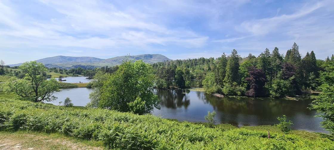 Tarn Hows circuit2.92 km (1.8 miles) for the whole outing2.92 km (1.8 miles) round~61 m climb~40–55 minFrom Tarn Hows National Trust car parkToilets at the start🐕 some barriersEasy effort Moderate: navigationWalked in partPark: Tarn Hows (NT, paid) · Bus: 505, 1.4 km (0.9 miles) walk from Holling Brow (near)About 7% over its steepest 250 m, which can hide a shorter, steeper ramp. Its pushchair verdict is suspended: the census maps two stiles near the circuit, which we have not checked on the ground.Measured from the GPX track: the steepest sustained climb, about 6%.
- Lanty's Tarn and Glenridding Beck3.11 km (1.9 miles) for the whole outing3.11 km (1.9 miles) round~126 m climb~50–70 minFrom GlenriddingToilets at the start🚌 Bus stop within 500 m🐕 no stiles mappedEasy effort Moderate: steepness and navigationPlannedPark: Beckside Car Park (paid) · Bus: 508 at the startA short circular of about 3.1 km from Glenridding: a short way up the valley of Glenridding Beck on a public bridleway, up a public footpath and a short path to Lanty’s Tarn, then down public footpaths by Mires Beck and back along the bridleway, with about 130 m of climbing.
- Ambleside over Miller Bridge3.16 km (2 miles) for the whole outing3.16 km (2 miles)~162 m climb~50–75 minFrom AmblesideToilets at the start🚌 Bus stop within 500 m🚼 Pushchair: yes🐕 some barriersEasy effort Easy: distance, steepness and navigationWalked April 2023One-way: finishes at Pine Rigg · Start: Ambleside, Low Fold (paid) · Bus: 555, 350 m walk from Ambleside, at Hayes Garden CentreA short one-way walk of about 3.2 km from the centre of Ambleside, across the River Rothay at Miller Bridge and up the bridleway towards Loughrigg, finishing near Pine Rigg. Town pavements, then a surfaced lane and a compacted bridleway, with about 160 m of climbing. Lee walked it with family and a pram in April 2023.
Nothing matches those filters — .
Map
● routes
An interactive map of the walks and fells in this collection. Each marker links to its page; the same walks and fells are listed on this page.
Common questions
How do you measure two miles?
From where the walk starts to where it finishes, and back to the start if it does not end there. Two miles is 3.2 km. Most walks here are loops. The Bowder Stone is drawn one way, about 0.6 km (0.4 miles), so it counts as 1.2 km (0.7 miles) there and back, and its climb counts both ways: what the path drops on the way out, you climb on the way back.
What do the cards show, and how do you know?
The whole outing and its climb, the walking time at our fast-to-steady pace without stops, where the walk starts, and what is mapped at the start: toilets, and a bus stop within about 500 m (check the timetable on the route page). The dog and pushchair verdicts come from our Stile & Gate Census of the map. None of that was checked on the ground for this list, and we hold nothing yet on steps, benches or surfaces for most of these walks.
Are these walks flat?
Not all of them. Short and flat are different questions. Hallin Fell and Binsey climb steeply for a short way to a real summit, and we have not surveyed any of them for steps or short steep ramps. Each walk's line on this page says what to expect, and its route page has the full profile.
Are there toilets?
Where toilets are mapped near the start, the card says so. That is OpenStreetMap's record, not a check by us, and seasonal toilets can be closed. Where the card says none are mapped, plan for none.