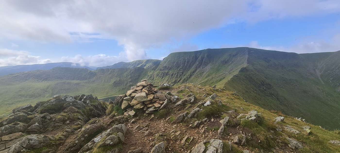
Walking the Eastern Fells
The Wainwright and Outlying fells we group as the Eastern area of the Lake District — each with its height, a typical round time, the bus where there’s one, and today’s predicted conditions. Grouped by our own area tag (a practical guide, not a fixed authored canon). Check the live conditions and the mountain forecast before the tops.
0 of these are rated good to climb on 12 September — see live conditions →
A prediction from our daily fell score (clear summits, wind, rain, visibility), not a guarantee — always check the mountain forecast before you go.
- Too windy for the topsHelvellyn950 m~5 h🚌 BusSave it · 20Helvellyn at 950m (3,117ft) is the most climbed of all the major Lakeland summits, and Wainwright devoted more pages to it than almost any other fell.
- Too windy for the topsNethermost Pike891 m~4 h🚌 BusSave it · 20Nethermost Pike at 891m (2,923ft) is the first of the great eastern summits south of Helvellyn, standing above the head of the Nethermost Cove corrie.
- Too windy for the topsCatstye Cam890 m~3.5 h🚌 BusSave it · 20Catstycam at 890m (2,920ft) is the perfect mountain in miniature — a shapely, symmetrical cone above Red Tarn that Wainwright described as one of the finest summit shapes in Lakeland.
- Too windy for the topsRaise883 m~3.5 h🚌 BusSave it · 20Raise at 883m (2,897ft) is the northernmost of the high Helvellyn range summits, a broad, rounded top that Wainwright described as giving outstanding views north to Great Dodd and Clough Head and west to Thirlmere.
- Too windy for the topsFairfield873 m~3.5 h🚌 BusSave it · 20Fairfield at 873m (2,864ft) gives its name to one of the great classic ridge walks of Lakeland — the Fairfield Horseshoe from Ambleside, a magnificent circuit taking in Hart Crag, Dove Crag, High Pike and Nab Scar.
- Too windy for the topsWhite Side863 m~3.5 h🚌 BusSave it · 20White Side at 863m (2,831ft) is the broad ridge summit between Raise and Lower Man on the northern Helvellyn ridge, its grassy, open top offering good views west across Thirlmere to the Borrowdale fells.
- Too windy for the topsDollywaggon Pike858 m~3.5 h🚌 BusSave it · 20Dollywaggon Pike at 858m (2,815ft) is the first summit south of Helvellyn along the main ridge, standing above the deep corrie of Ruthwaite Cove and overlooking the head of Grisedale.
- Too windy for the topsGreat Dodd857 m~3.5 h🚌 BusSave it · 19Great Dodd at 857m (2,811ft) is the highest of the northern Dodds, a broad, grassy summit at the head of the Matterdale valley that Wainwright described as a fell of more interest than its rounded outline suggests — the views north to the Pennines and south along the full Helvellyn ridge are outstanding.
- Too windy for the topsStybarrow Dodd844 m~3.5 h🚌 BusSave it · 19Stybarrow Dodd at 843m (2,766ft) is the middlemost of the Helvellyn Dodds, a broad plateau summit above Sticks Pass giving good views in all directions but most notably east across Ullswater to the distant Pennines.
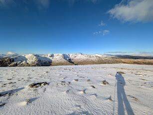 Too windy for the topsSt Sunday Crag841 m~3.5 h🚌 BusSave it · 20St Sunday Crag at 841m (2,759ft) is the great isolated pyramid above Patterdale, separated from the Helvellyn ridge by the deep trench of Grisedale.
- Too windy for the topsHart Crag823 m~3.5 h🚌 BusSave it · 20Hart Crag at 822m (2,697ft) is the rocky summit at the northern end of the Fairfield ridge above Dovedale, giving excellent views down the crag-girt hollow of Dovedale to Hartsop and Brothers Water below.
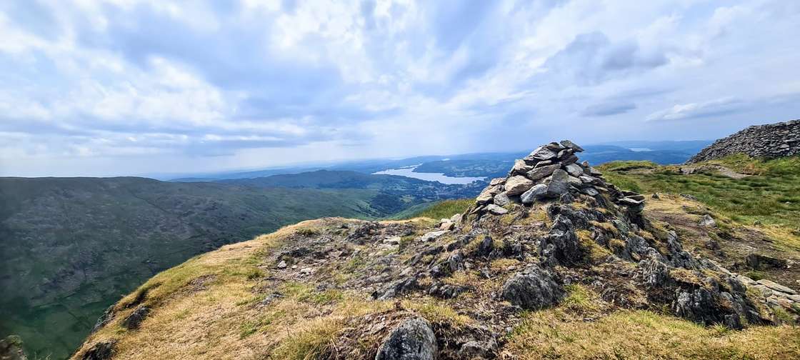 Too windy for the topsDove Crag792 m~3.5 h🚌 BusSave it · 20Dove Crag at 792m (2,598ft) takes its name from the impressive cliff on its eastern face above Dovedale — a favourite with rock climbers and a dramatic feature visible from the valley below.
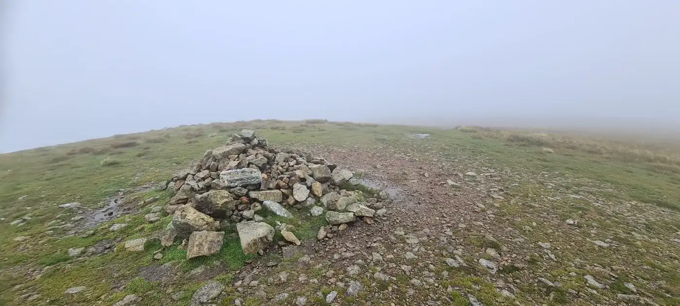 Too windy for the topsWatson's Dodd789 m~3.5 h🚌 BusSave it · 19Watson's Dodd at 789m (2,589ft) is a smooth, grassy summit on the northern Helvellyn ridge between Stybarrow Dodd and Great Dodd, its open top giving views north towards Skiddaw and east to the Pennines.
- Too windy for the topsRed Screes779 m~3.5 h🚌 BusSave it · 20Red Screes at 779m (2,556ft) stands dramatically above the Kirkstone Pass, its steep red scree slopes giving the fell its name and making it one of the most recognisable profiles above the A592.
- Too windy for the topsGreat Rigg766 m~3.5 h🚌 BusSave it · 20Great Rigg at 766m (2,513ft) is the subsidiary summit on the Fairfield Horseshoe between Fairfield and Heron Pike, a broad ridge top that Wainwright described as giving one of the finest views of the Rydal valley and the wooded country south towards Ambleside.
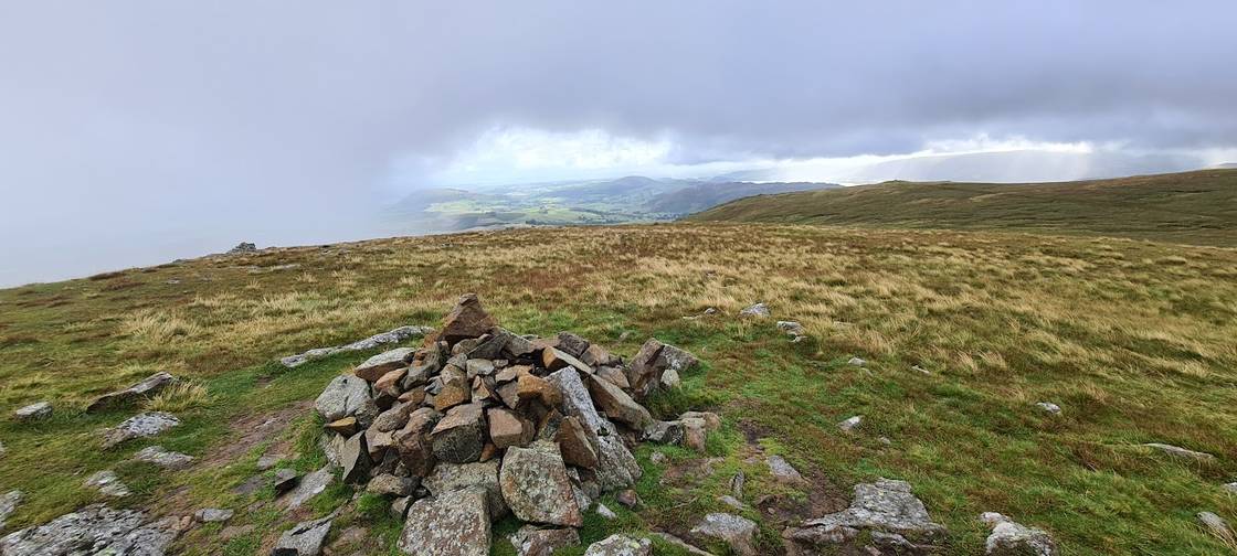 Too windy for the topsHart Side756 m~3.5 h🚌 BusSave it · 19Hart Side at 756m (2,480ft) is a broad, grassy summit between Stybarrow Dodd and the Ullswater shoreline, giving commanding views over the eastern shores of the lake and across to the High Street range.
- Too windy for the topsSeat Sandal737 m~3 h🚌 BusSave it · 20Seat Sandal at 736m (2,415ft) is an isolated summit above Dunmail Raise, its pointed profile clearly visible from the A591 and from Grasmere below.
- Too windy for the topsClough Head726 m~3 h🚌 BusSave it · 20Clough Head at 726m (2,382ft) is the northernmost of the main Helvellyn ridge summits, a grassy whale-back that Wainwright noted as the ideal starting or finishing point for the full northern Dodds traverse.
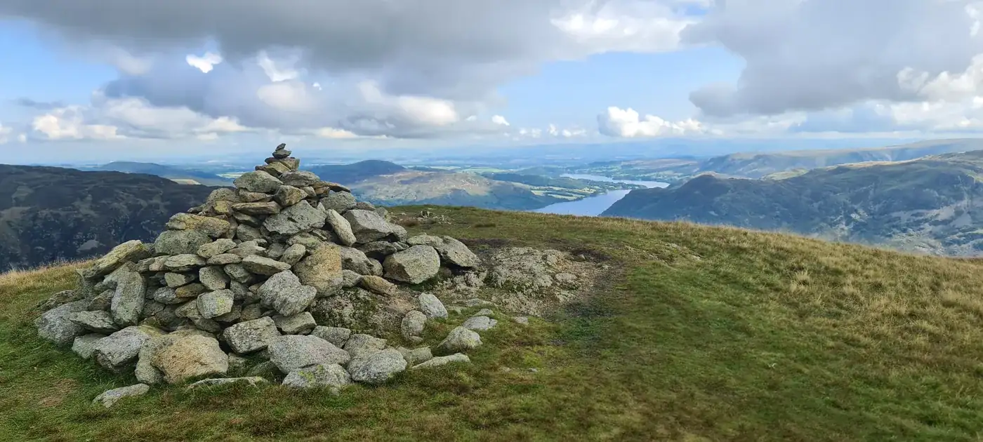 Too windy for the topsBirkhouse Moor718 m~3 h🚌 BusSave it · 20Birkhouse Moor at 718m (2,356ft) is the long, grassy shoulder south of Glenridding that forms the approach ridge to Striding Edge and Helvellyn from Patterdale.
- Too windy for the topsSheffield Pike676 m~3 h🚌 BusSave it · 20Sheffield Pike at 675m (2,215ft) is a craggy, satisfying summit above Glenridding with outstanding views of Ullswater — Wainwright considered it one of the best Ullswater viewpoints in the Eastern Fells.
- Too windy for the topsHigh Pike (Scandale)657 m~3 h🚌 BusSave it · 19High Pike at 656m (2,152ft), above Scandale, is a broad grassy summit at the southern end of the ridge above Ambleside giving wide views south across Windermere and north to the Fairfield group.
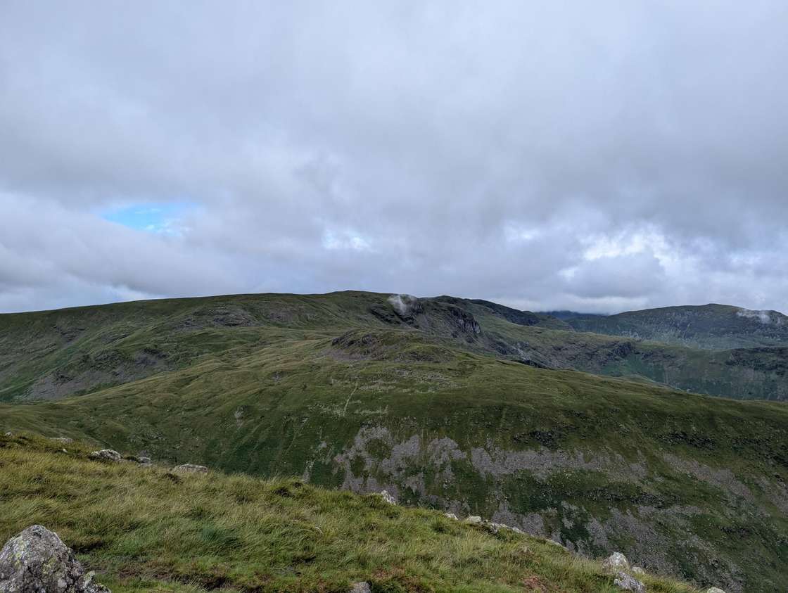 Too windy for the topsMiddle Dodd654 m~3 h🚌 BusSave it · 19Middle Dodd at 654m (2,146ft) is the grassy ridge between Red Screes and Little Hart Crag above the Kirkstone Pass, its open summit giving fine views of the pass road and the Hartsop valley below.
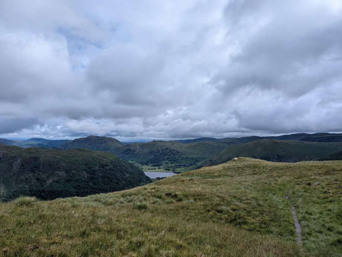 Too windy for the topsLittle Hart Crag (West Top)637 m~3 h🚌 BusSave it · 19Little Hart Crag at 637m (2,090ft) is the rocky subsidiary summit above the Dovedale valley, giving excellent views down to Brothers Water and across to Red Screes.
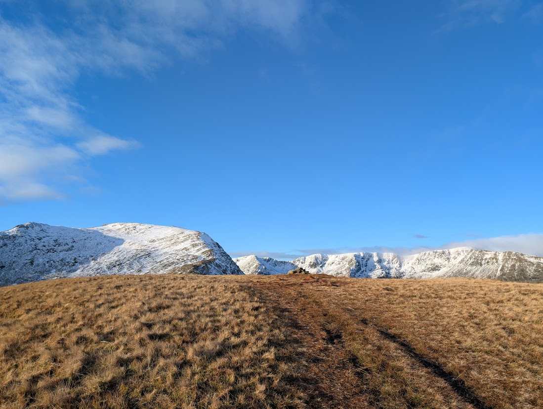 Too windy for the topsBirks624 m~3 h🚌 BusSave it · 19Birks at 622m (2,040ft) is the lower, southern ridge of St Sunday Crag above Grisedale, its summit giving good views up the valley to Fairfield and across to the Helvellyn range.
- Too windy for the topsHeron Pike (Rydal)612 m~3 h🚌 BusSave it · 19Heron Pike at 612m (2,008ft) is the southern end of the Fairfield Horseshoe ridge above Rydal, its rocky summit giving excellent views across Windermere and south to Morecambe Bay.
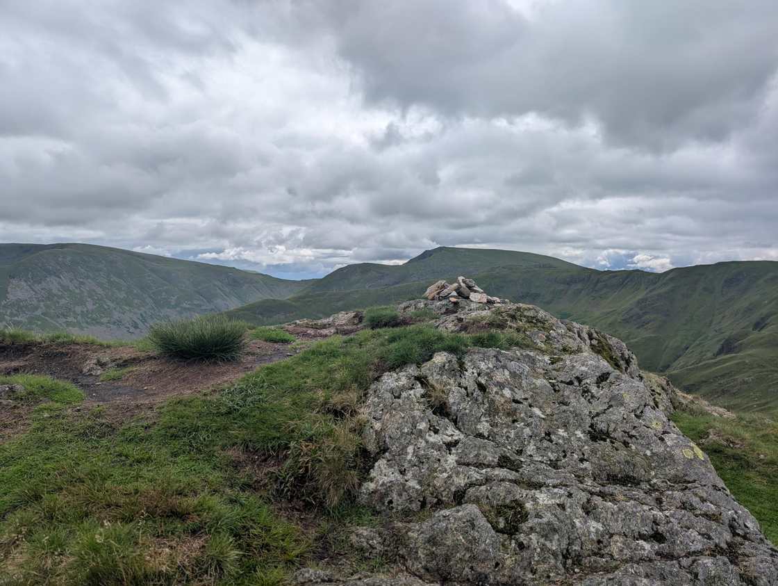 Too windy for the topsHartsop Above How (Gill Crag)586 m~2.5 h🚌 BusSave it · 19Hartsop above How at 586m (1,923ft) is a long, grassy ridge above the Hartsop valley, its summit giving good views down Brothers Water and across to Place Fell.
- Summit likely clagged inGreat Mell Fell537 m~2 h🚌 BusMarginal · 36Great Mell Fell at 537m (1,762ft) is an isolated, conical summit above the Vale of Matterdale, its distinctive shape standing out from the surrounding farmland.
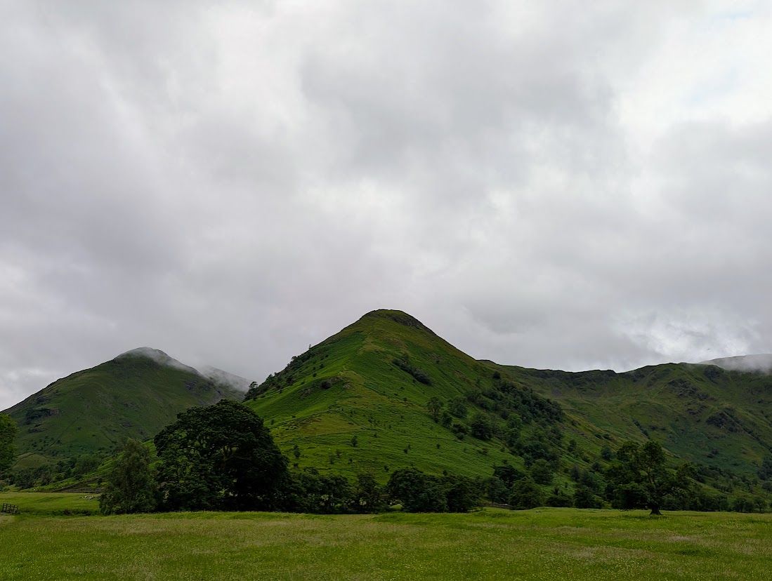 Too windy for the topsHigh Hartsop Dodd519 m~2.5 h🚌 BusSave it · 20High Hartsop Dodd at 519m (1,703ft) is a small, grassy summit above Hartsop village, its top giving good views of Brothers Water and the lower Patterdale valley.
- Summit likely clagged inLow Pike508 m~2.5 h🚌 BusSave it · 21Low Pike at 508m (1,667ft) is a Wainwright summit in the Eastern Fells, the first top on the Scandale ridge rising above Ambleside towards High Pike and Dove Crag.
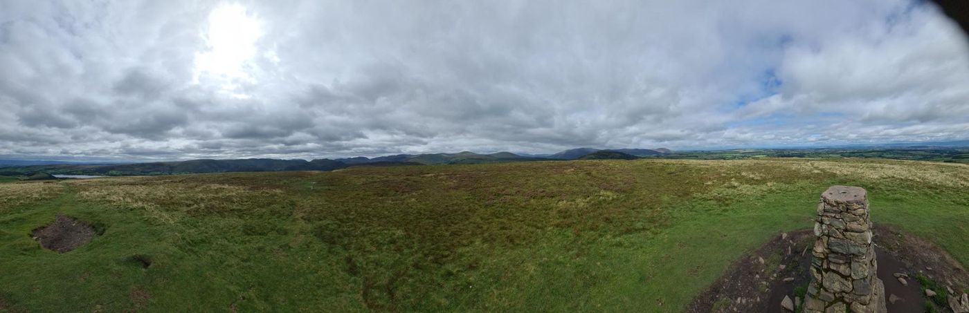 Summit likely clagged inLittle Mell Fell505 m~1.5 h🚌 BusMarginal · 37Little Mell Fell at 505m (1,657ft) is the smaller companion of Great Mell Fell, standing above the Matterdale valley with views across to Ullswater and the Eastern Fells.
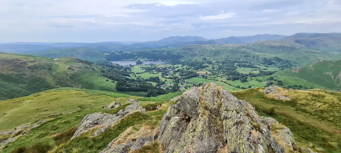 Summit likely clagged inStone Arthur504 m~2 h🚌 BusSave it · 21Stone Arthur at 500m (1,640ft) is a craggy rock outcrop on the ridge above Grasmere, its small but distinctive summit giving one of the finest low-level views over Grasmere and Rydal Water in the whole district.
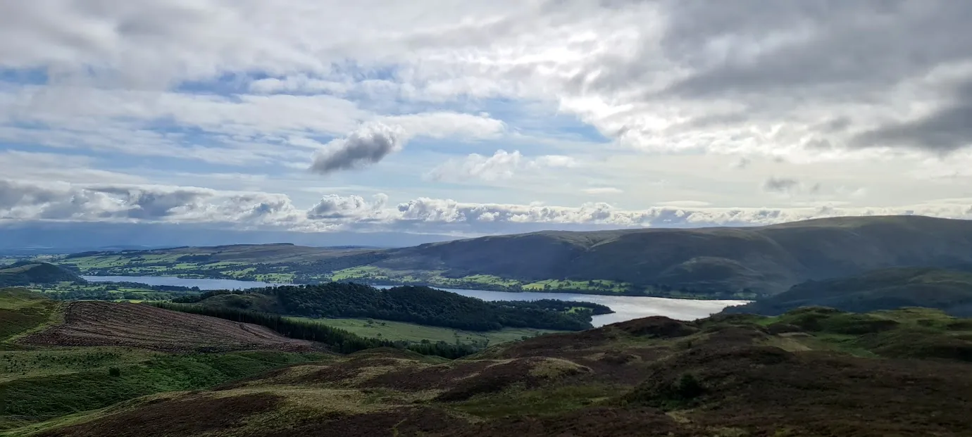 Summit likely clagged inGowbarrow Fell (Wainwright summit)481 m~2 h🚌 BusMarginal · 36Gowbarrow Fell at 481m (1,578ft) rises above the wooded western shores of Ullswater, its open summit giving excellent views of the lake — particularly the middle reach from Howtown to Pooley Bridge.
- Summit likely clagged inNab Scar450 m~2 h🚌 BusSave it · 27Nab Scar at 450m (1,476ft) is the steep, rocky escarpment directly above Rydal Water, its craggy face one of the most recognisable profiles in the southern Lake District.
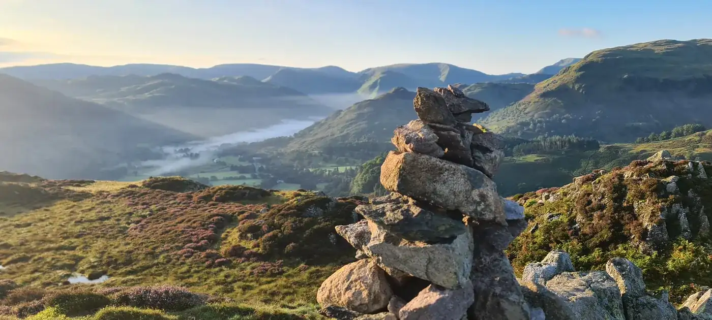 Summit likely clagged inGlenridding Dodd442 m~2 h🚌 BusSave it · 24Glenridding Dodd at 442m (1,450ft) is a small grassy summit above the Glenridding valley, its top giving good views of Ullswater and across to Sheffield Pike.
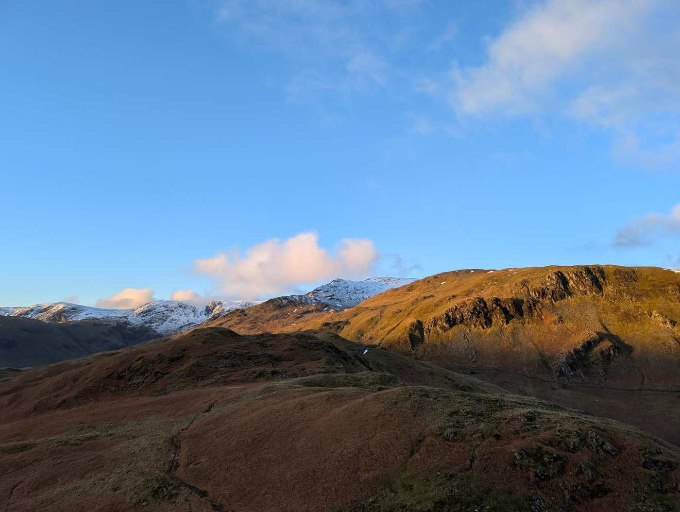 Too windy for the topsArnison Crag433 m~2 h🚌 BusSave it · 20Arnison Crag at 433m (1,421ft) is the small, craggy summit directly above Patterdale village, its rocky top giving an excellent bird's-eye view of the village and Goldrill Beck below.
Nothing matches those filters — .
Map
● fells within ~5 km
An interactive map of the route start points and the fells within about 5 km. Each marker links to its page; the same routes and fells are listed below.