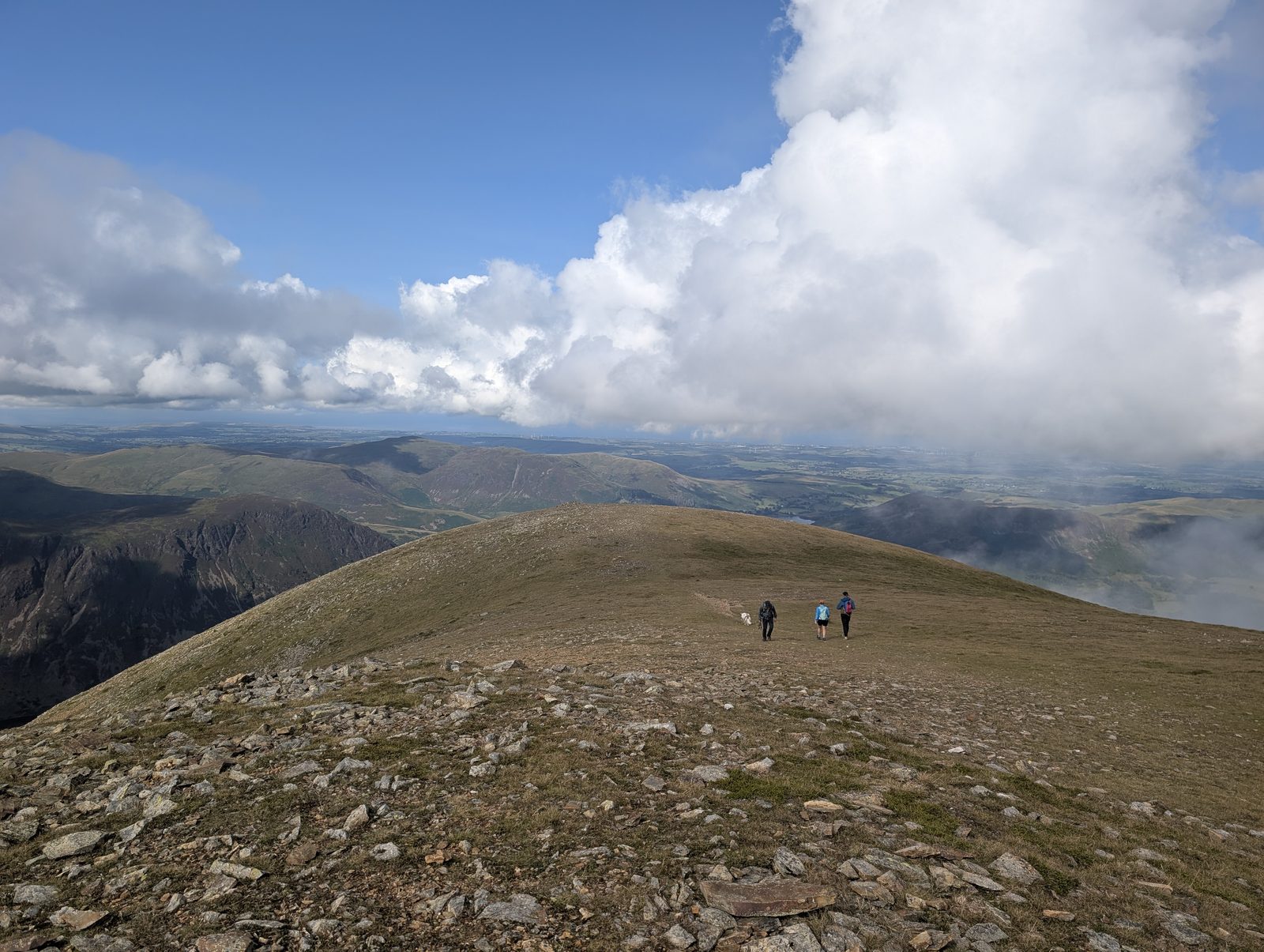
Walking the North Western Fells
The Wainwright and Outlying fells we group as the North Western area of the Lake District — each with its height, a typical round time, the bus where there’s one, and today’s predicted conditions. Grouped by our own area tag (a practical guide, not a fixed authored canon). Check the live conditions and the mountain forecast before the tops.
0 of these are rated good to climb on 12 September — see live conditions →
A prediction from our daily fell score (clear summits, wind, rain, visibility), not a guarantee — always check the mountain forecast before you go.
- Too windy for the topsGrasmoor852 m~3.5 h🚌 BusSave it · 20Grasmoor at 852m (2,795ft) is the highest and most massive of the North Western Fells, a great dome of a mountain above Crummock Water that Wainwright described as one of the finest viewpoints in the district — the panorama from Grasmoor's summit takes in the full sweep of the northern and western fells, with the two great lakes of Crummock Water and Buttermere gleaming in the valley far below.
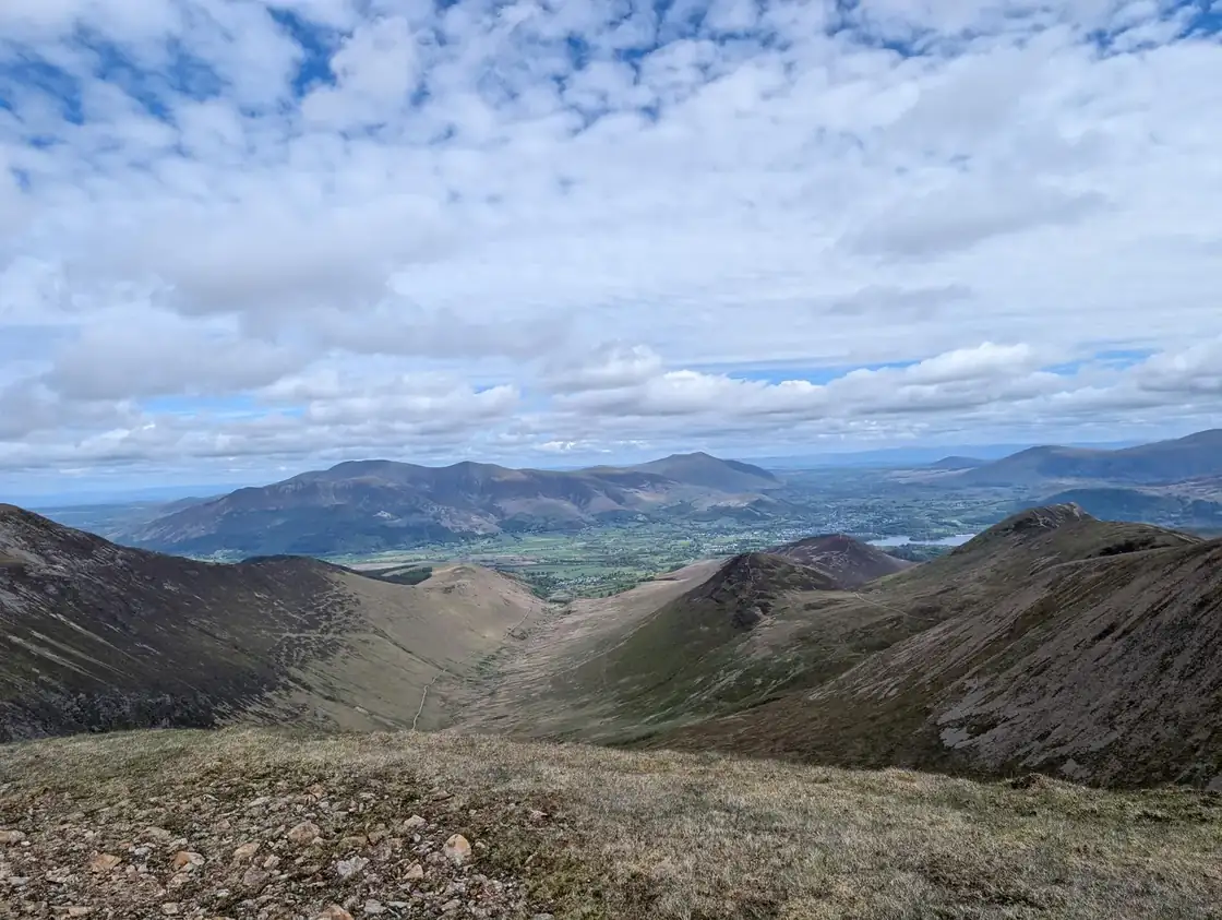 Too windy for the topsCrag Hill (Eel Crag)839 m~3.5 h🚌 BusSave it · 20Crag Hill at 839m (2,753ft), also known as Eel Crag, is the highest point of the Coledale Horseshoe ridge in the North Western Fells, a broad, rocky summit connecting Grasmoor to Sail and Hopegill Head.
- Too windy for the topsGrisedale Pike790 m~3.5 h🚌 BusSave it · 20Grisedale Pike at 791m (2,595ft) is the most conspicuous of the North Western Fells, a fine, sharp pyramid above Braithwaite that Wainwright described as the dominant feature of the Coledale skyline.
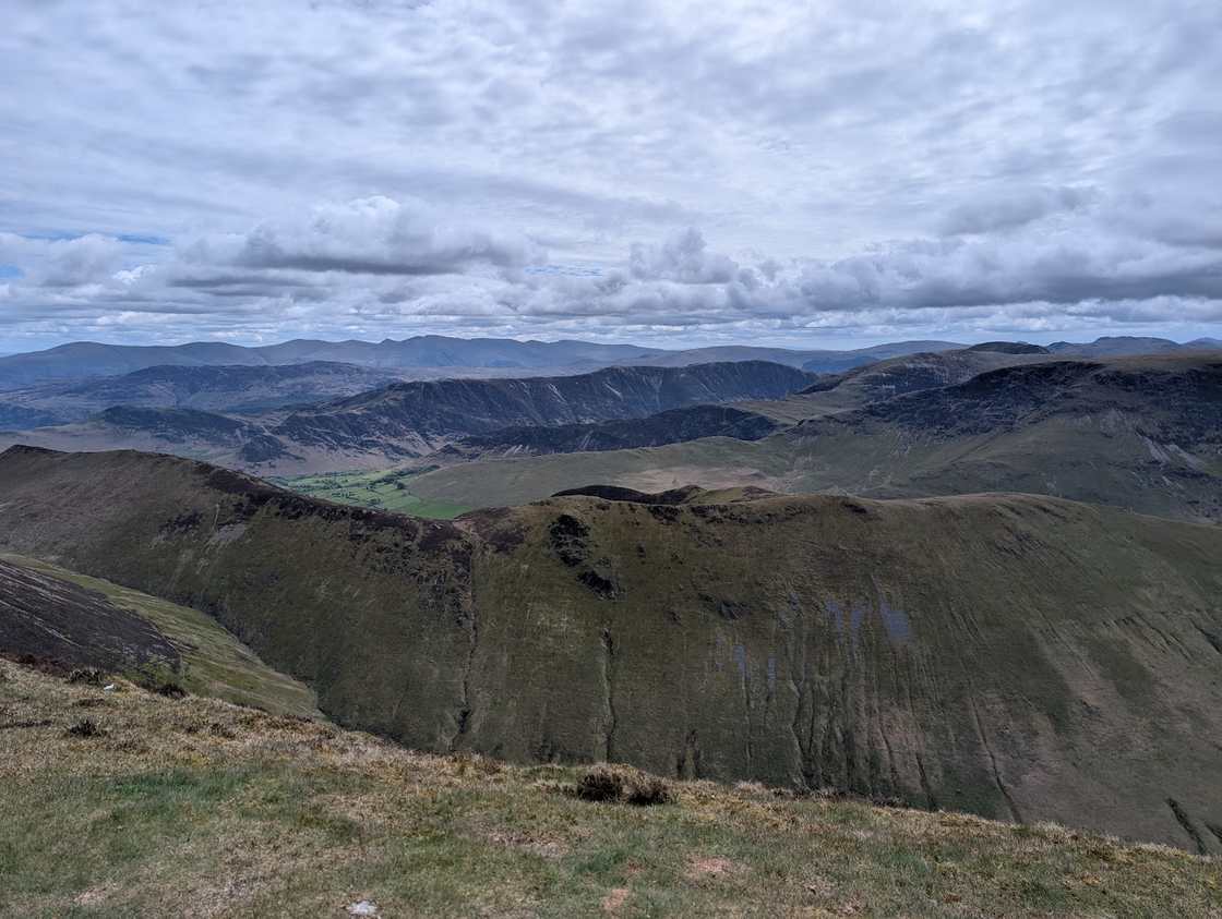 Too windy for the topsWandope774 m~3.5 h🚌 BusSave it · 19Wandope at 772m (2,533ft) is the western arm of the Grasmoor massif, a high ridge with outstanding views of Crummock Water and the coastal plain beyond.
- Too windy for the topsSail773 m~3.5 h🚌 BusSave it · 20Sail at 773m (2,536ft) is an elegant, pointed summit on the Coledale Horseshoe between Eel Crag and Causey Pike, its attractive profile one of the defining features of the skyline above Braithwaite.
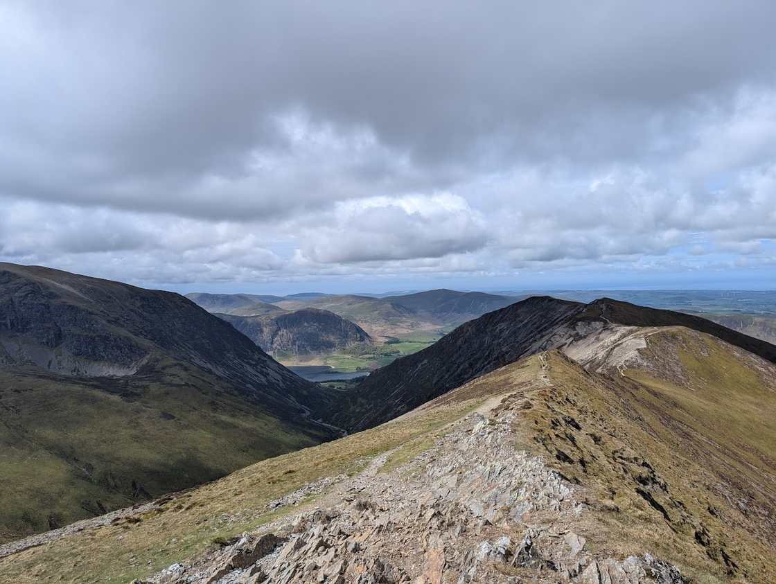 Too windy for the topsHopegill Head770 m~3.5 h🚌 BusSave it · 20Hopegill Head at 770m (2,526ft) is a pointed, airy summit above the head of the Hobcarton valley, its steep sides giving it a dramatic profile from the Whinlatter direction.
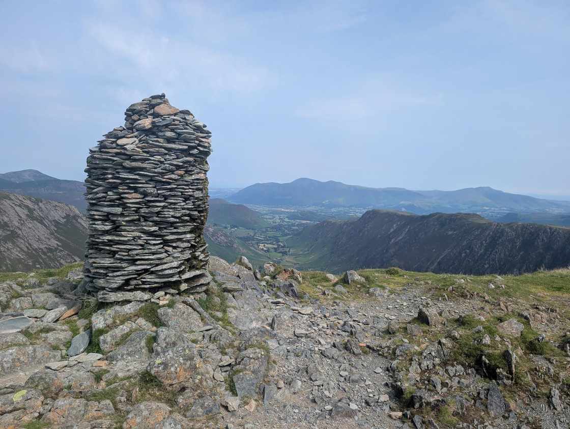 Too windy for the topsDale Head754 m~3.5 h🚌 BusSave it · 20Dale Head at 753m (2,470ft) is the highest summit of the Newlands Horseshoe, a broad, rocky top above the head of the Newlands valley giving outstanding views of the full horseshoe circuit and south to the Borrowdale fells.
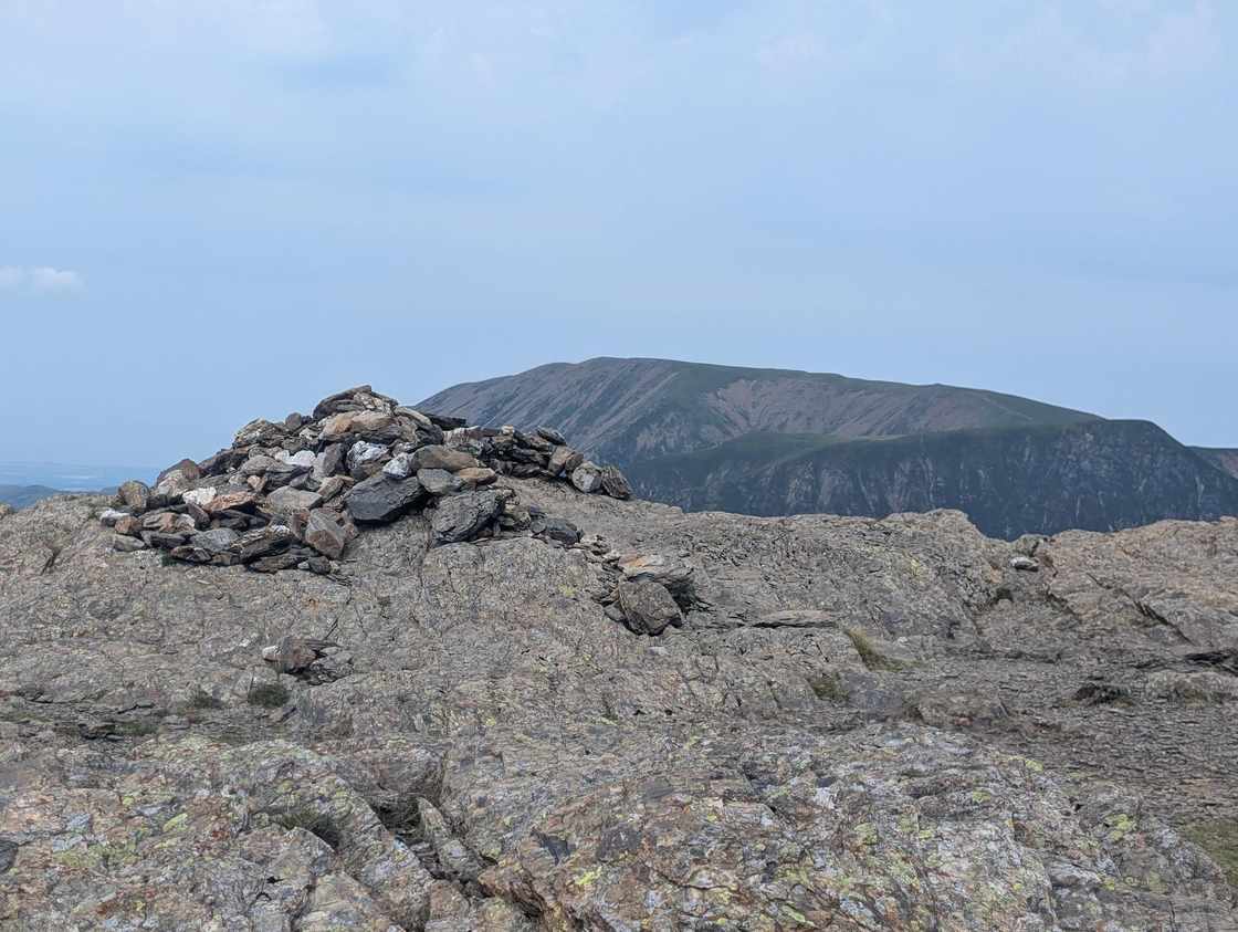 Too windy for the topsRobinson738 m~3 h🚌 BusSave it · 18Robinson at 737m (2,418ft) is the north-western bastion of the Newlands Horseshoe — the great classic ridge walk that circuits the Newlands valley.
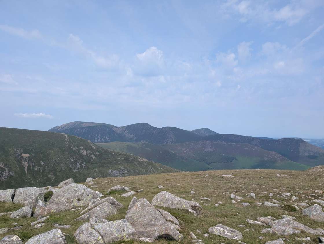 Too windy for the topsHindscarth727 m~3 h🚌 BusSave it · 20Hindscarth at 727m (2,385ft) is an elegant summit on the Newlands Horseshoe between Dale Head and Robinson, its pointed profile visible from the Newlands valley below.
 Too windy for the topsWhiteside (Whiteside West Top)707 m~3 h🚌 BusSave it · 20Whiteside at 719m (2,359ft) is a long, narrow ridge above Crummock Water, its steep south face dropping dramatically to the lake below.
- Too windy for the topsScar Crags672 m~3 h🚌 BusSave it · 20Scar Crags at 672m (2,205ft) is a craggy ridge summit above Coledale between Causey Pike and Sail, its rocky profile one of the features of the Coledale Horseshoe.
 Too windy for the topsWhiteless Pike660 m~3 h🚌 BusSave it · 20Whiteless Pike at 660m (2,165ft) is the southern sentinel of the Grasmoor ridge above Buttermere, a sharp, pointed summit giving excellent views of the Buttermere valley and Crummock Water.
- Too windy for the topsHigh Spy653 m~3 h🚌 BusSave it · 20High Spy at 653m (2,142ft) is the high point of the Newlands Horseshoe ridge above Maiden Moor, its summit giving excellent views of Derwent Water to the north and the Dale Head group to the south.
- Too windy for the topsCausey Pike637 m~3 h🚌 BusSave it · 20Causey Pike at 637m (2,090ft) is one of the most attractive North Western summits — a pointed, rocky knob visible from across Derwent Water that Wainwright regarded as giving one of the finest low-level views of the lake.
- Too windy for the topsArd Crags581 m~2.5 h🚌 BusSave it · 19Ard Crags at 581m (1,906ft) is a craggy ridge summit above the head of the Newlands valley, its rocky west face giving the fell its name.
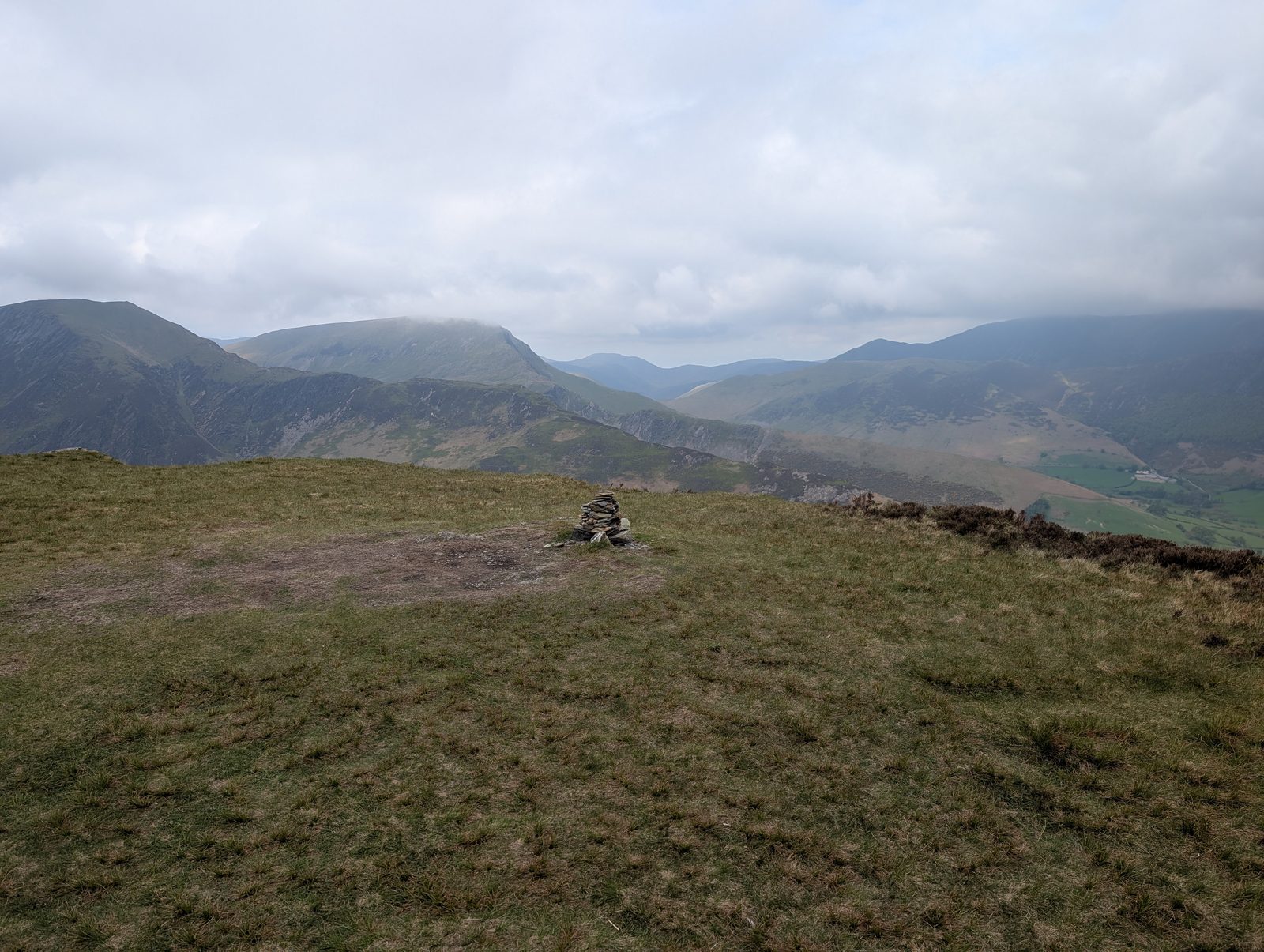 Too windy for the topsMaiden Moor575 m~2.5 h🚌 BusSave it · 19Maiden Moor at 576m (1,890ft) is the broad ridge south of Catbells on the Newlands Horseshoe, giving outstanding views of Derwent Water from its open summit plateau.
- Too windy for the topsOuterside568 m~2.5 h🚌 BusSave it · 19Outerside at 568m (1,864ft) is a small, grassy summit between Causey Pike and the Coledale valley, giving pleasant views of the surrounding North Western Fells.
- Too windy for the topsKnott Rigg556 m~2.5 h🚌 BusSave it · 18Knott Rigg at 556m (1,824ft) is a pleasant, grassy ridge summit above the Newlands valley between Ard Crags and the Buttermere road, giving fine views of the Grasmoor and Newlands Horseshoe ranges.
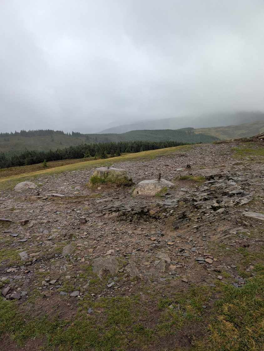 Too windy for the topsLord's Seat552 m~2.5 h🚌 BusSave it · 20Lord's Seat at 552m (1,811ft) is the highest point of the Whinlatter Forest fells, a broad, grassy summit giving outstanding views of Bassenthwaite Lake and the Skiddaw massif.
- Too windy for the topsWhinlatter (Brown How)517 m~2.5 h🚌 BusSave it · 20Whinlatter at 525m (1,722ft) is the fell above Whinlatter Pass — the broad, wooded ridge between Braithwaite and Lorton — its open summit giving views west to the coast and north to Bassenthwaite Lake.
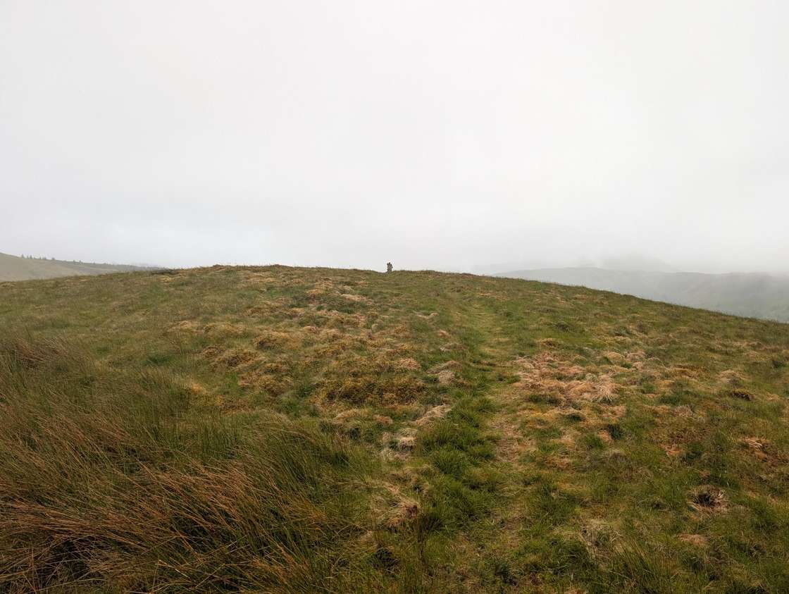 Too windy for the topsBroom Fell510 m~2.5 h🚌 BusSave it · 20Broom Fell at 509m (1,670ft) is a grassy summit above Lorton Vale in the north-western corner of the Lake District, giving wide views across Bassenthwaite Lake and north towards the Solway.
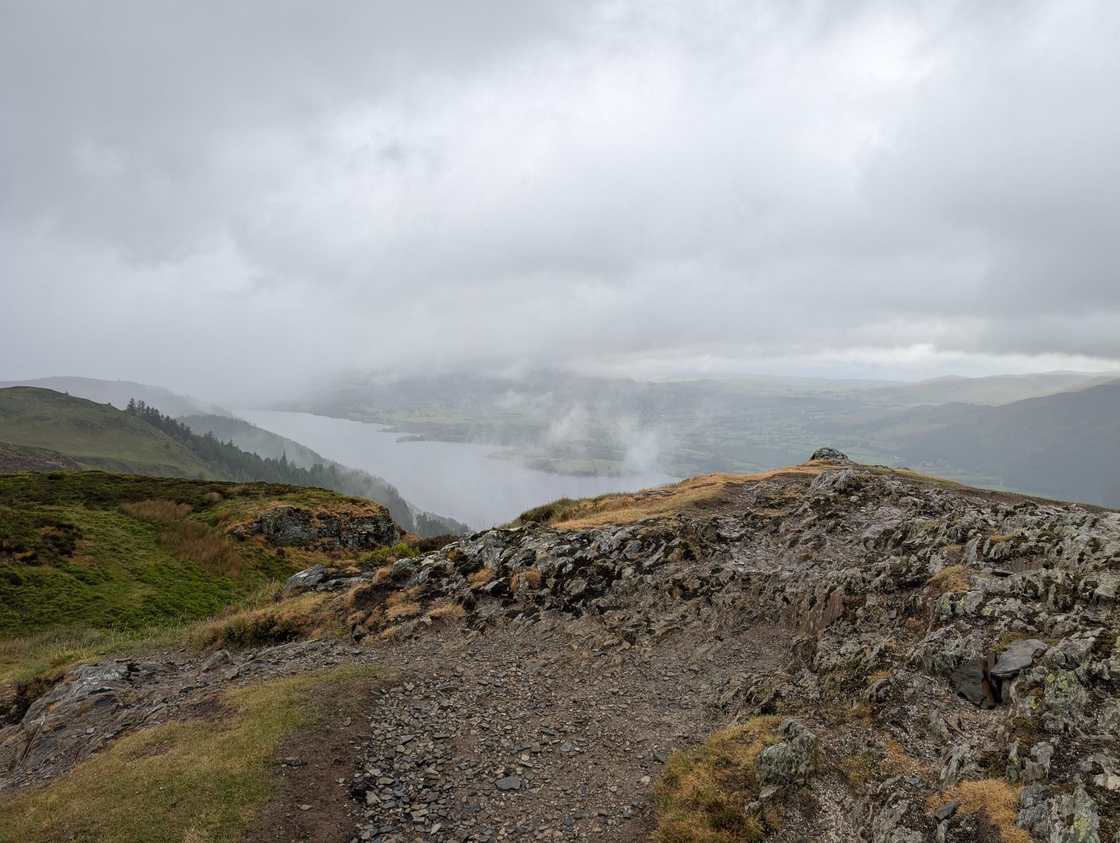 Summit likely clagged inBarf469 m~2.5 h🚌 BusSave it · 21Barf at 469m (1,539ft) is one of the most distinctive fells in the North Western group, rising steeply above Bassenthwaite Lake.
- Too windy for the topsBarrow455 m~2 h🚌 BusSave it · 18Barrow at 455m (1,493ft) is a small, grassy summit above Braithwaite, giving one of the finest views of the Coledale valley and the Causey Pike ridge for its modest height.
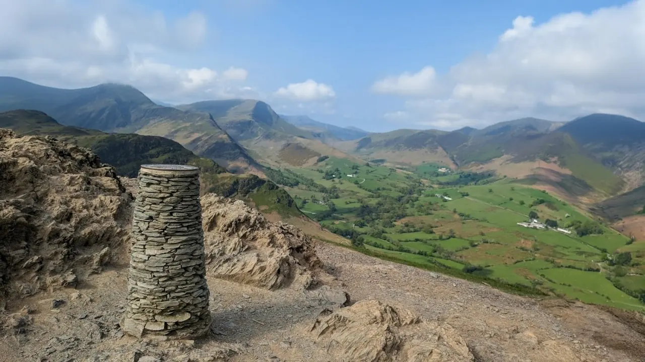 Too windy for the topsCat Bells (Catbells)451 m~2.5 h🚌 BusSave it · 20Catbells is one of Alfred Wainwright's great favourites, and his fondness for it shines through in The North-Western Fells — he saw it as a 'family fell,' approachable enough for grandparents and young children to climb together, yet rewarding with shapely, sun-warmed slopes and a genuinely striking position above Derwent Water.
 Too windy for the topsGraystones (Graystones North Top)450 m~2 h🚌 BusSave it · 20Graystones at 456m (1,496ft) is a small, heathery fell above Lorton Vale, its summit giving pleasant views of Bassenthwaite Lake and the northern fells.
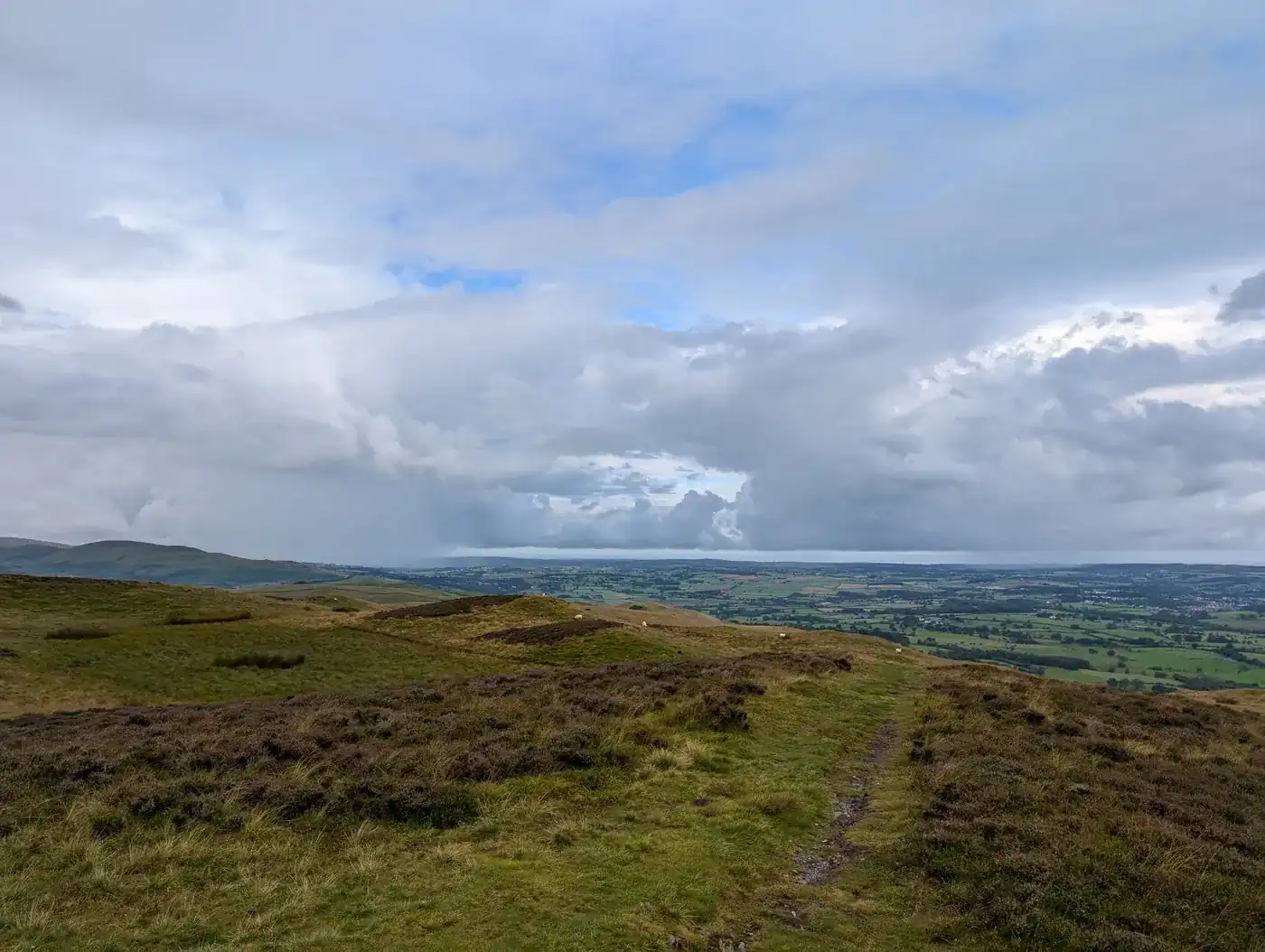 Too windy for the topsLing Fell374 m~1.5 h🚌 BusSave it · 20Ling Fell at 374m (1,227ft) is a small, heathery summit above Wythop Mill near Bassenthwaite Lake, its modest top giving pleasant views across the lake and north to the Solway.
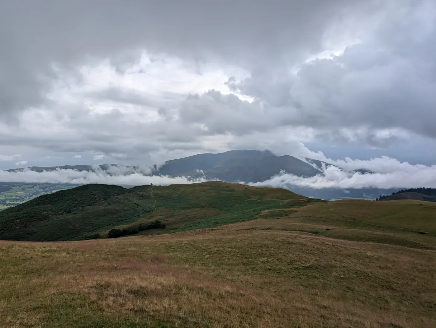 Summit likely clagged inSale Fell359 m~1.5 h🚌 BusSave it · 30Sale Fell at 359m (1,178ft) is a pleasant little summit above Bassenthwaite Lake, its low summit giving fine views of the lake and across to Skiddaw above.
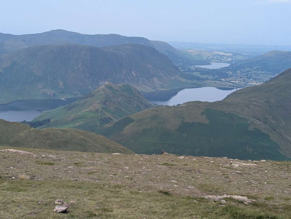 Too windy for the topsRannerdale Knotts355 m~1.5 h🚌 BusSave it · 20Rannerdale Knotts at 355m (1,165ft) is a small, delightful ridge of rocky knolls above Crummock Water, giving some of the finest views of the lake from any fell in the North Western Fells.
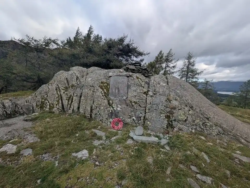 Summit likely clagged inCastle Crag290 m~2 h🚌 BusMarginal · 35Castle Crag at 290m (951ft) is the lowest of all the Wainwright fells, yet one of the most dramatic — a rocky prow standing sentinel in the narrowest part of the Borrowdale gorge between Grange and Rosthwaite.
Nothing matches those filters — .
Map
● fells within ~5 km
An interactive map of the route start points and the fells within about 5 km. Each marker links to its page; the same routes and fells are listed below.