Walking the Northern Fells
The Wainwright and Outlying fells we group as the Northern area of the Lake District — each with its height, a typical round time, the bus where there’s one, and today’s predicted conditions. Grouped by our own area tag (a practical guide, not a fixed authored canon). Check the live conditions and the mountain forecast before the tops.
The count is of the list on this page. How we check →
2 of these are rated good to climb on 27 October — see live conditions →
A prediction from our daily fell score (clear summits, wind, rain, visibility), not a guarantee — always check the mountain forecast before you go. Weather data by Open-Meteo.com (opens in new tab).
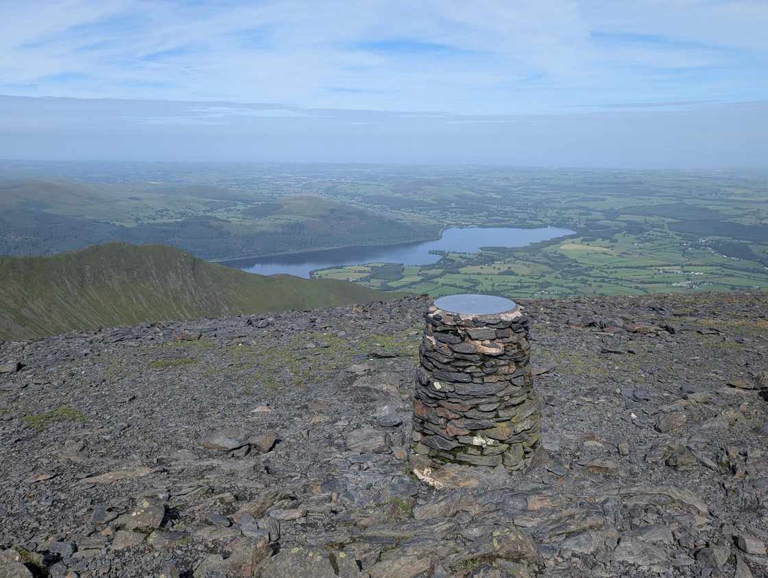
- Too windy for the topsSkiddaw930 m~4½–5½ h🚌 BusSave it · 20 · rated on 27 OctoberSkiddaw at 930m (3,052ft) is the fourth highest fell in England and one of Wainwright's great favourites for its distinctive character — a mountain of broad, smooth ridges and sweeping, slate-grey slopes quite unlike the rocky Central and Western Fells.
 Too windy for the topsBlencathra - Hallsfell Top868 m~4–5 h🚌 BusSave it · 20 · rated on 27 OctoberBlencathra at 868m (2,847ft) was, by many accounts, Wainwright's personal favourite.
 Too windy for the topsSkiddaw Little Man865 m~3½–4¼ h🚌 BusSave it · 20 · rated on 27 OctoberSkiddaw Little Man at 865m (2,838ft) is the subsidiary summit on the Skiddaw ridge south of the main top, often climbed with Skiddaw but a separate fell in its own right.
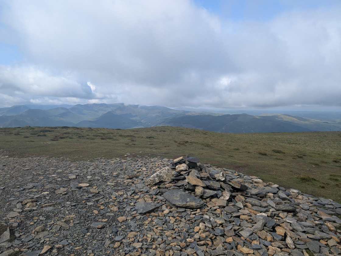 Too windy for the topsCarl Side747 m~3½–4¼ h🚌 BusSave it · 20 · rated on 27 OctoberCarl Side at 747m (2,450ft) is the prominent shoulder of Skiddaw above Millbeck, its summit giving excellent views across Bassenthwaite Lake and north to Scotland on clear days.
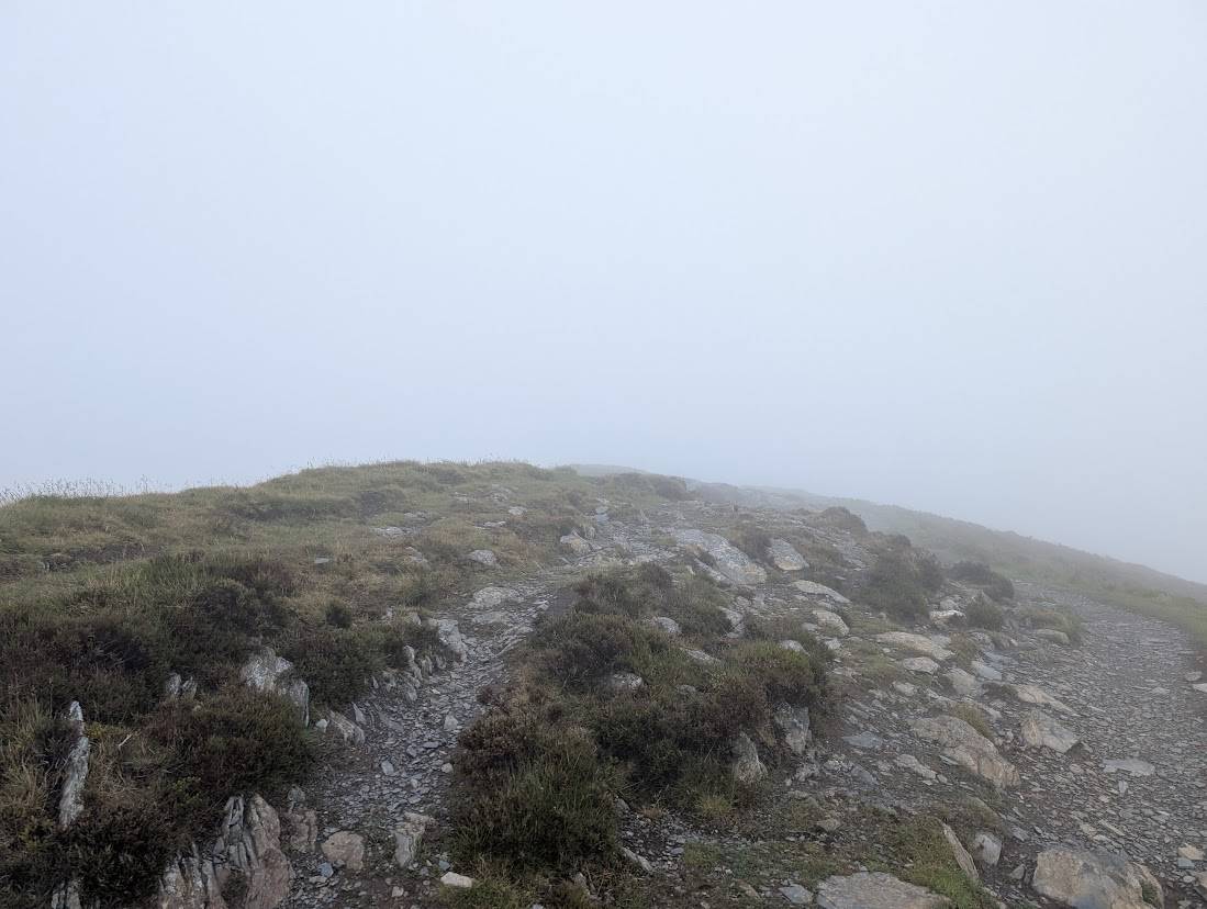 Too windy for the topsLong Side734 m~4–5 h🚌 BusSave it · 20 · rated on 27 OctoberLong Side at 734m (2,408ft) is an intermediate summit on the Ullock Pike to Skiddaw ridge, its long, narrow crest giving outstanding views across Bassenthwaite Lake below and north to the Solway coast.
 Too windy for the topsLonscale Fell715 m~3½–4½ h🚌 BusSave it · 20 · rated on 27 OctoberLonscale Fell at 715m (2,346ft) is the eastern shoulder of Skiddaw above the River Glenderaterra, giving fine views of the Blencathra massif and east across the Northern Fells.
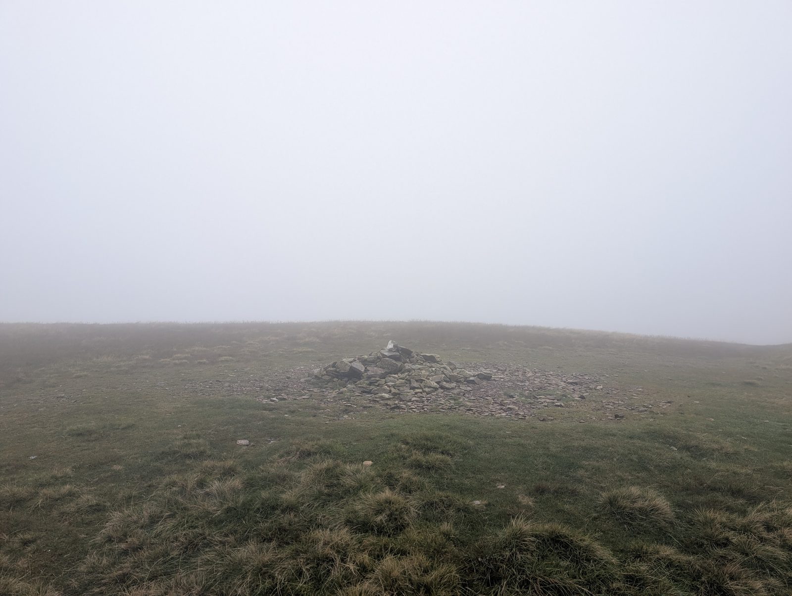 Too windy for the topsKnott710 m~4½–5½ h🚌 BusSave it · 20 · rated on 27 OctoberKnott at 710m (2,330ft) is the highest point of the Back o' Skiddaw plateau — a vast, remote moorland above Caldbeck and the Vale of Eden that Wainwright described as the loneliest corner of Lakeland.
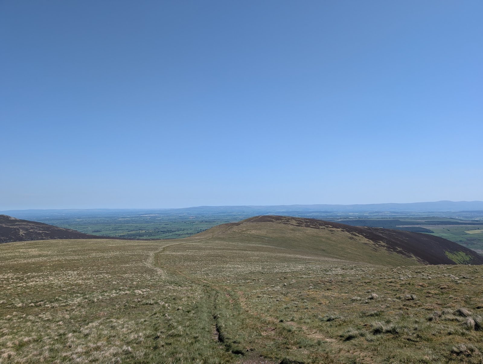 Too windy for the topsBowscale Fell702 m~2¾–4 h🚌 BusSave it · 20 · rated on 27 OctoberBowscale Fell at 702m (2,303ft) is a broad summit above Mungrisdale, its eastern face concealing one of Lakeland's most atmospheric tarns — Bowscale Tarn, set in a dark corrie below the fell's north-east face.
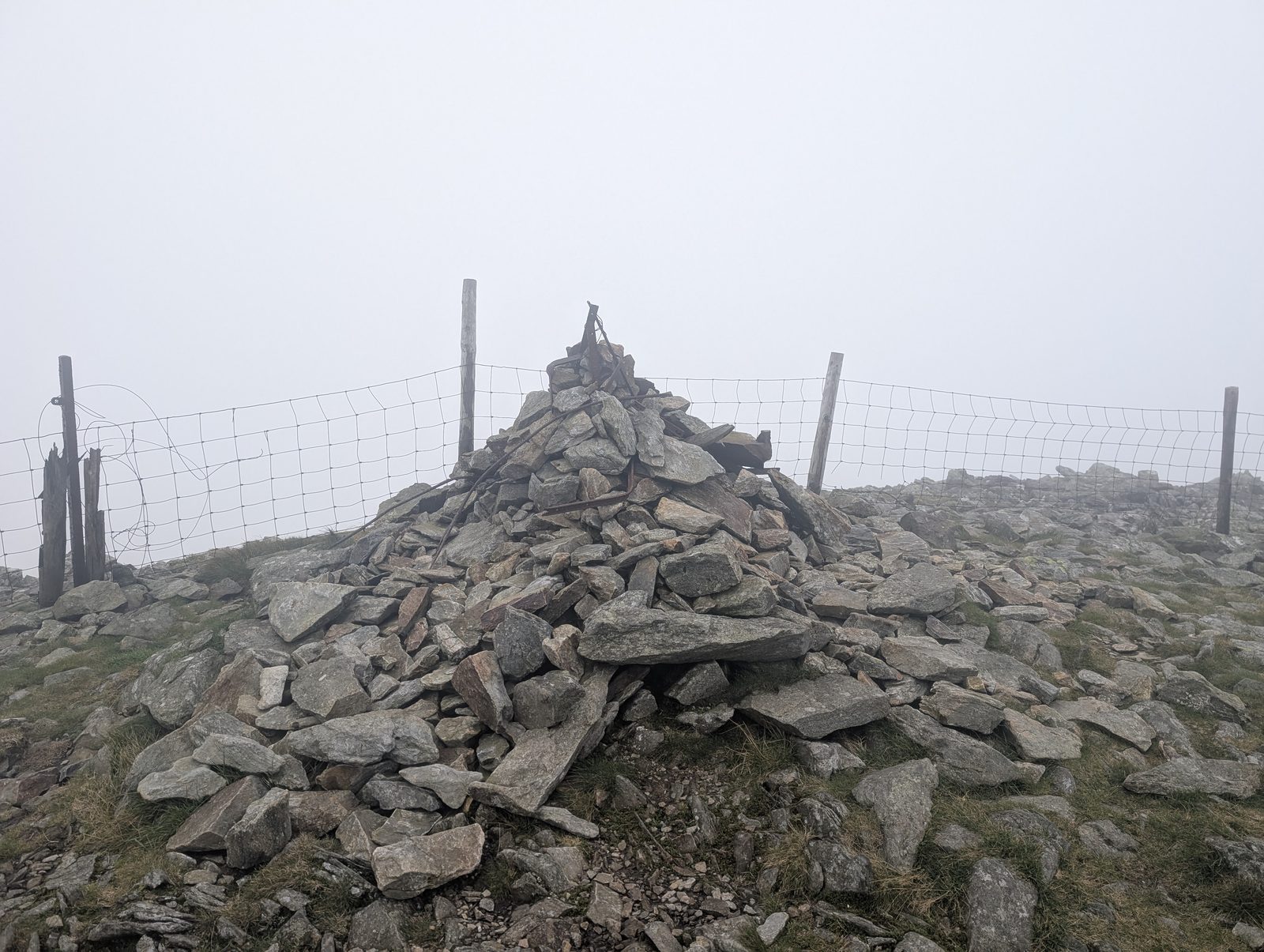 Too windy for the topsGreat Calva691 m~4½–5½ h🚌 BusSave it · 20 · rated on 27 OctoberGreat Calva at 691m (2,267ft) is an isolated summit in the heart of the Back o' Skiddaw country, its rounded top giving wide, spacious views across a landscape that feels genuinely remote.
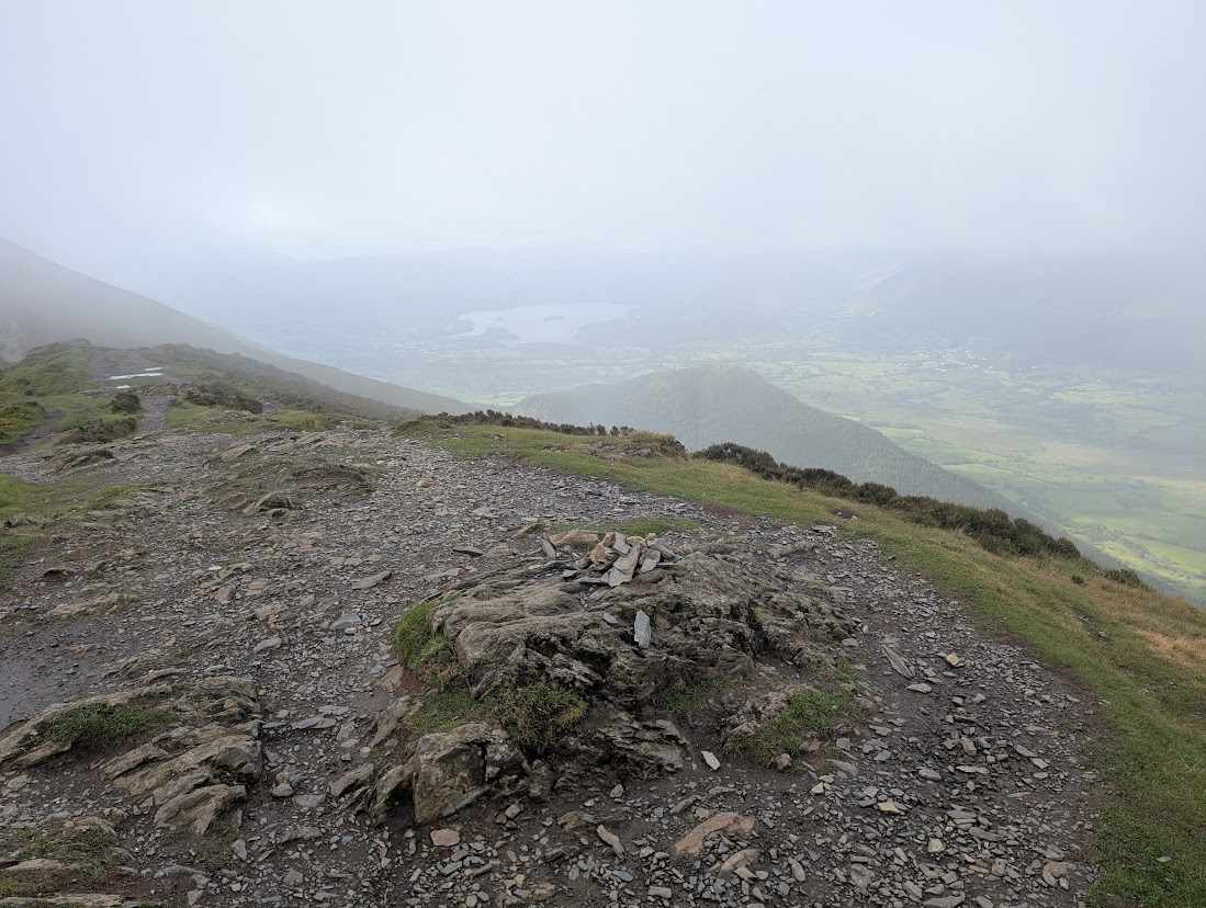 Too windy for the topsUllock Pike690 m~3–3¾ h🚌 BusSave it · 20 · rated on 27 OctoberUllock Pike at 690m (2,265ft) is the sharp, pointed north-western extremity of the Skiddaw ridge, its needle-like profile visible from the Bassenthwaite valley below.
 Too windy for the topsBannerdale Crags684 m~5–6¼ h🚌 BusSave it · 20 · rated on 27 OctoberBannerdale Crags at 684m (2,244ft) stands above the remote Bannerdale valley between Mungrisdale and Blencathra, its summit crags giving a dramatic view of the eastern Northern Fells.
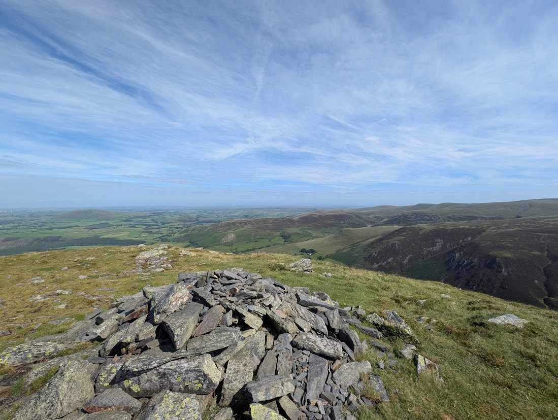 Too windy for the topsBakestall674 m~5½–7¾ h🚌 BusSave it · 20 · rated on 27 OctoberBakestall at 674m (2,210ft) is the north-eastern satellite of Skiddaw, a broad grassy summit with the best views of the Back o' Skiddaw plateau and north towards the Solway.
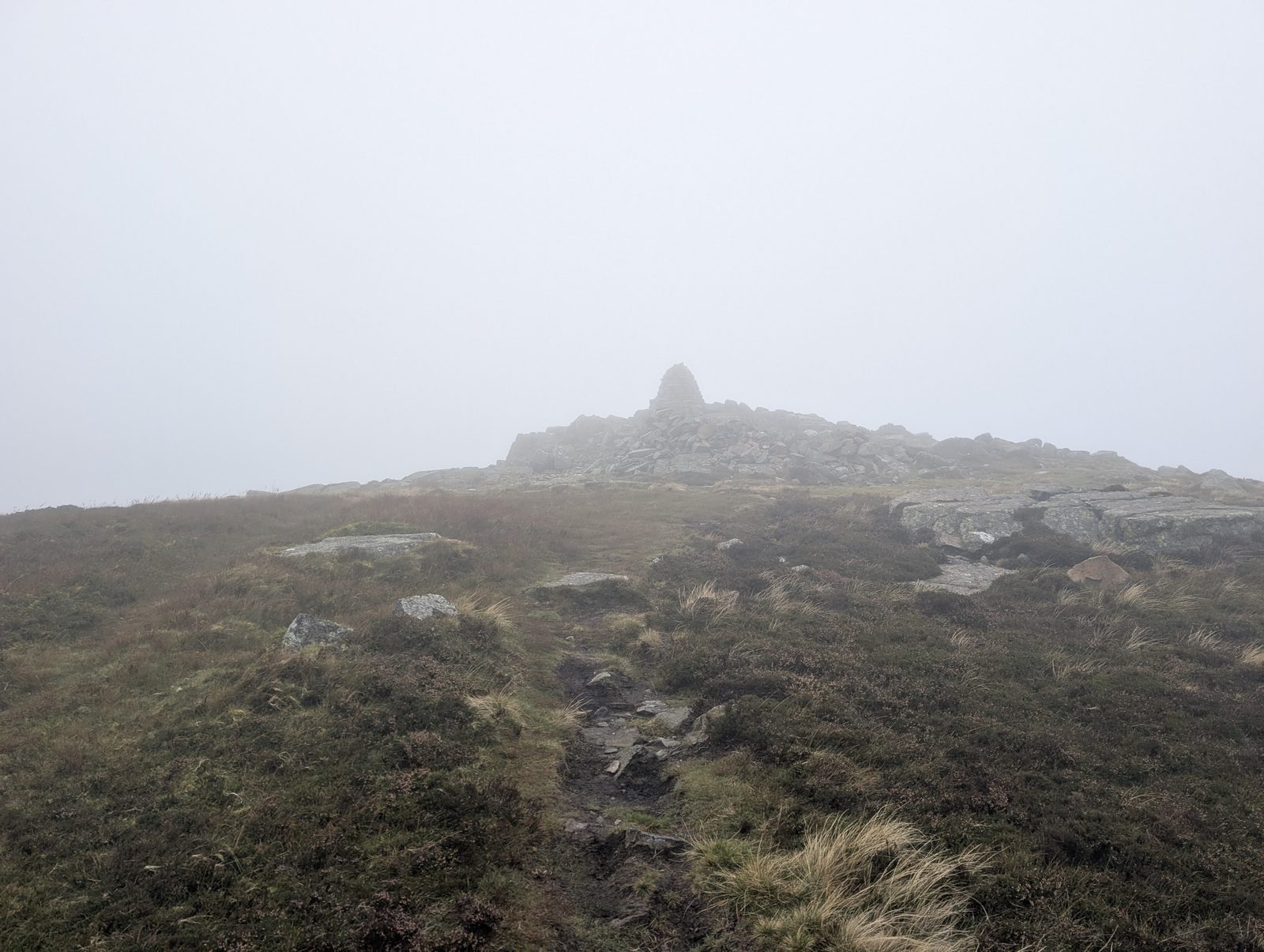 Too windy for the topsCarrock Fell662 m~4–5¾ hSave it · 20 · rated on 27 OctoberCarrock Fell at 662m (2,173ft) sits on the eastern edge of the Northern Fells, an isolated summit above the Vale of Eden with the remains of a large ancient hillfort ringing its summit, whose date and purpose are still debated.
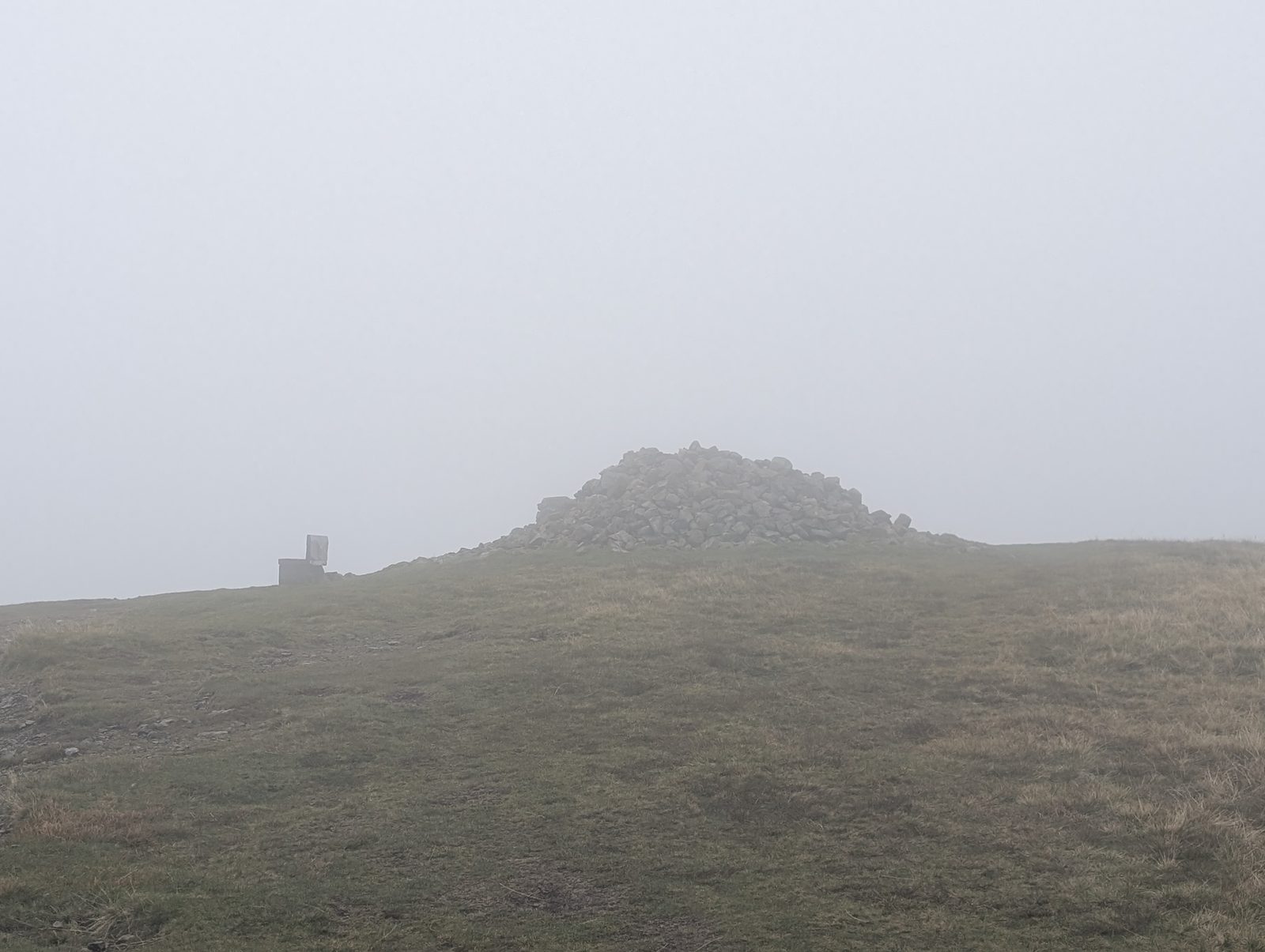 Too windy for the topsHigh Pike (Caldbeck)658 m~4½–5½ hSave it · 20 · rated on 27 OctoberHigh Pike at 658m (2,159ft) above Caldbeck is one of the northernmost fells in Wainwright's guide, a broad grassy summit on the edge of the Lake District whose summit gives an extraordinary view north and east — the Solway Firth, the Isle of Man and the Pennines all visible on a clear day.
 Too windy for the topsGreat Sca Fell651 m~3¾–4¾ h🚌 BusSave it · 20 · rated on 27 OctoberGreat Sca Fell at 651m (2,136ft) is a rounded, grassy summit in the Back o' Skiddaw country, giving wide views across the northern moorlands to the Solway and the Pennines.
 Too windy for the topsMungrisdale Common632 m~4½–5½ h🚌 BusSave it · 20 · rated on 27 OctoberMungrisdale Common at 632m (2,073ft) is a broad, boggy summit between Blencathra and Bowscale Fell, its featureless top challenging to navigate in mist but giving good views of the Blencathra massif on a clear day.Hazard notes checked by Lee McCoy: Mungrisdale Common (14 June 2026); they draw on Keswick Mountain Rescue Team.
 Too windy for the topsBrae Fell585 m~2½–3 hSave it · 20 · rated on 27 OctoberBrae Fell at 585m (1,921ft) is a moorland summit in the Back o' Skiddaw country, its broad top giving wide views north towards the Solway and east to the Pennines.
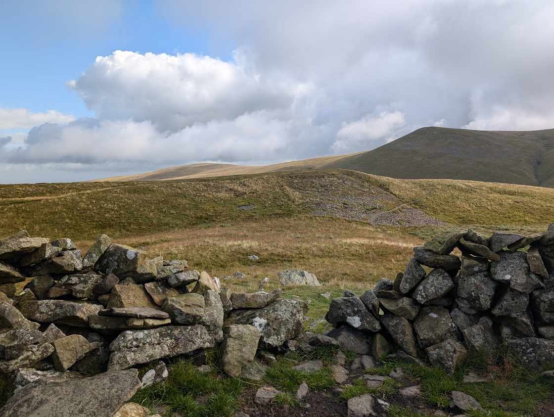 Too windy for the topsMeal Fell549 m~2½–3 hSave it · 20 · rated on 27 OctoberMeal Fell at 549m (1,802ft) is a small, grassy summit in the Back o' Skiddaw country above Longlands, giving pleasant views across the northern moorlands.
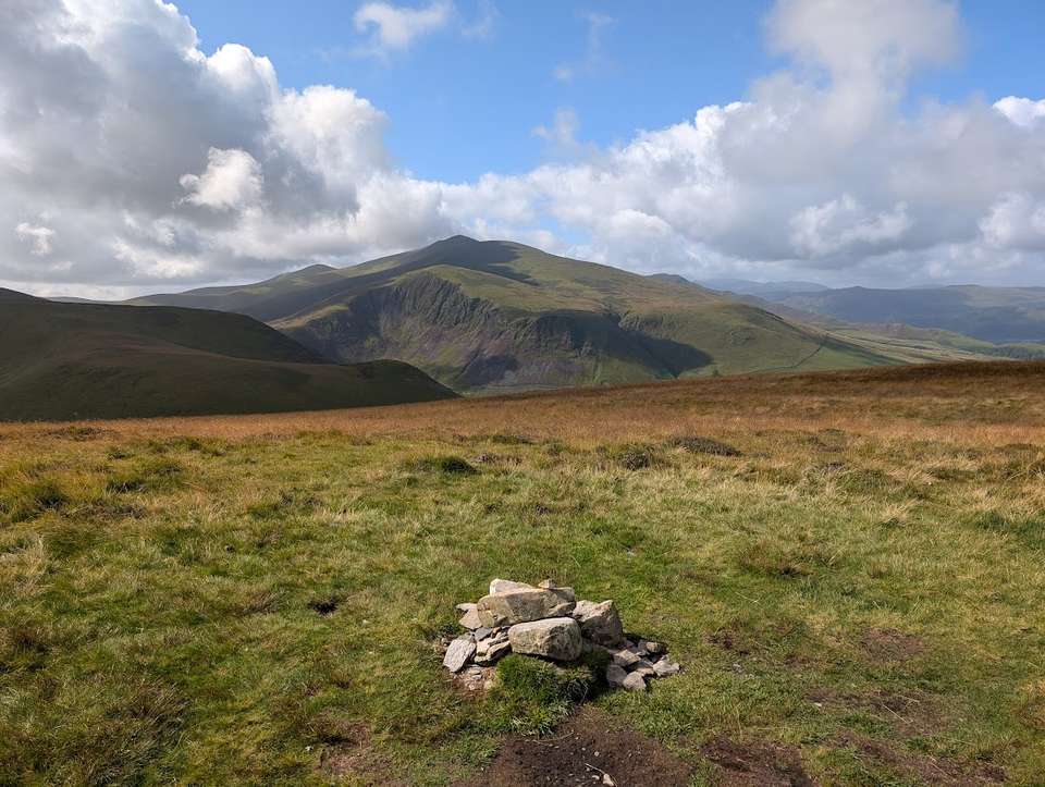 Too windy for the topsGreat Cockup526 m~2½–3 h🚌 BusSave it · 20 · rated on 27 OctoberGreat Cockup at 526m (1,726ft) is an isolated summit north of Skiddaw, its open top giving wide views across the Solway Plain and north towards Scotland.
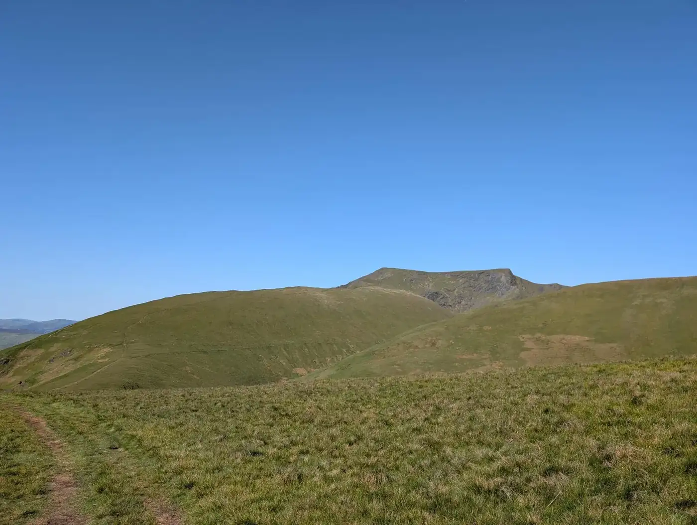 DrySouther Fell522 m~2½–3 h🚌 BusDecent · 59 · rated on 27 OctoberSouther Fell at 522m (1,713ft) is an isolated, flat-topped ridge above Mungrisdale, famous in local tradition for the legendary ghostly army said to have been seen marching along its crest in the 18th century.
 Too windy for the topsDodd (Skiddaw)502 m~2–2½ h🚌 BusSave it · 20 · rated on 27 OctoberDodd at 502m (1,647ft) is the prominent wooded cone above Bassenthwaite Lake, its open summit — above the Dodd Wood forest — giving a fine view down onto Bassenthwaite Lake.
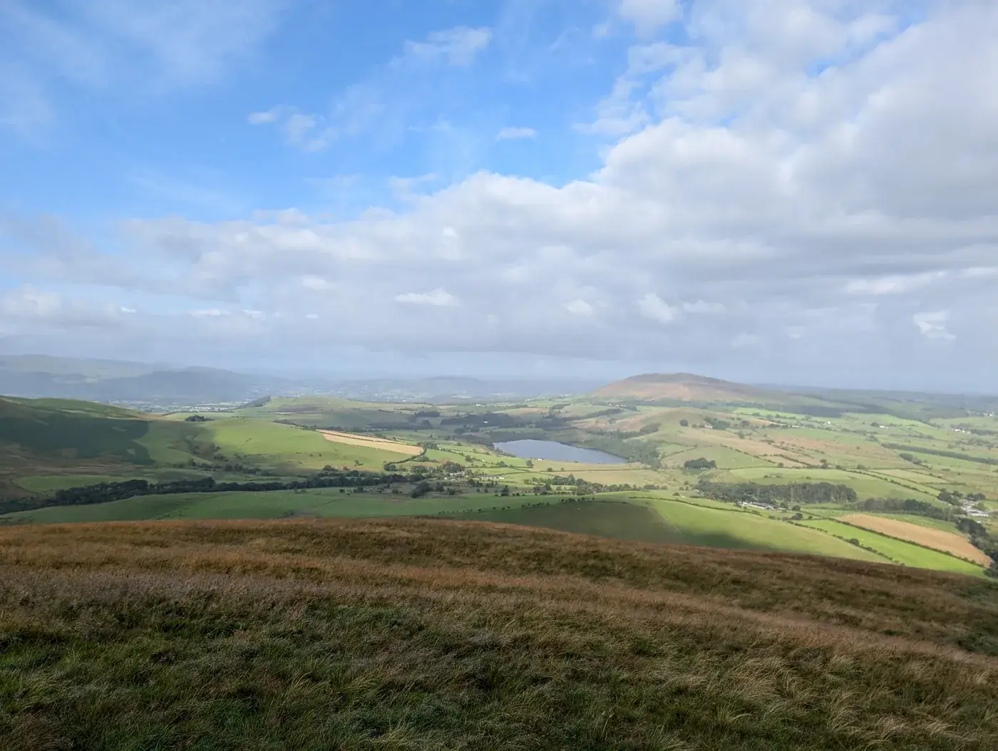 Too windy for the topsLonglands Fell483 m~2½–3 hSave it · 20 · rated on 27 OctoberLonglands Fell at 483m (1,585ft) is the lowest of the five Wainwrights on our North of Skiddaw round, a pleasant summit above the hamlet of Longlands giving views across the northern moorlands.
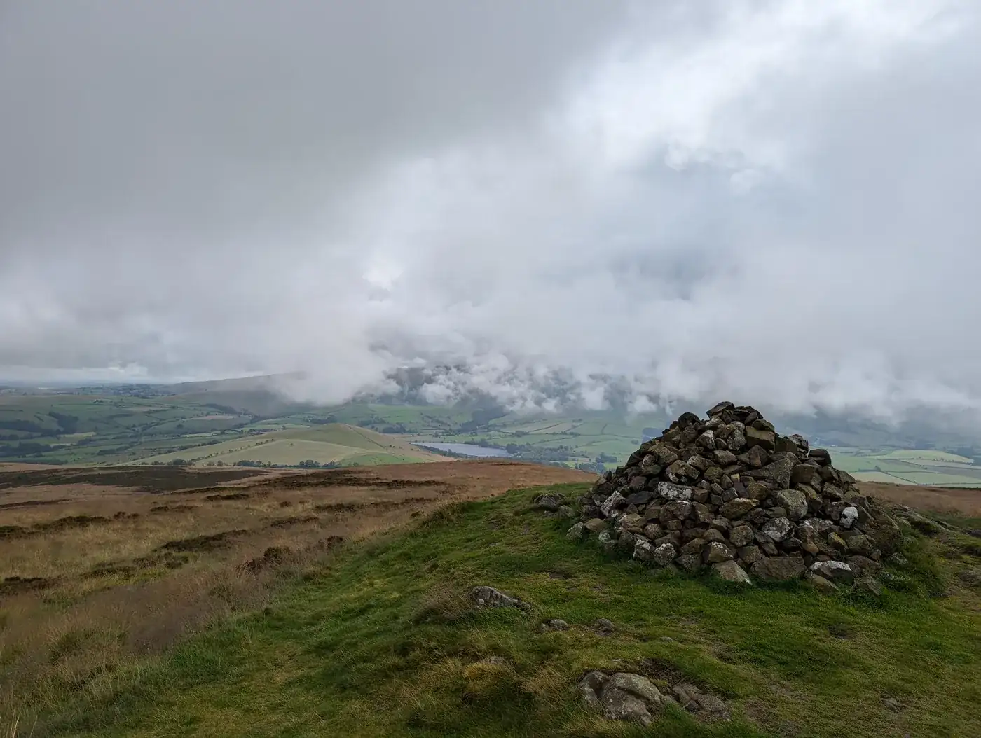 Too windy for the topsBinsey447 m~¾–1 h🚌 BusSave it · 20 · rated on 27 OctoberBinsey at 447m (1,466ft) is a solitary, isolated fell above Bassenthwaite village, its rounded summit entirely separate from any other fell group.
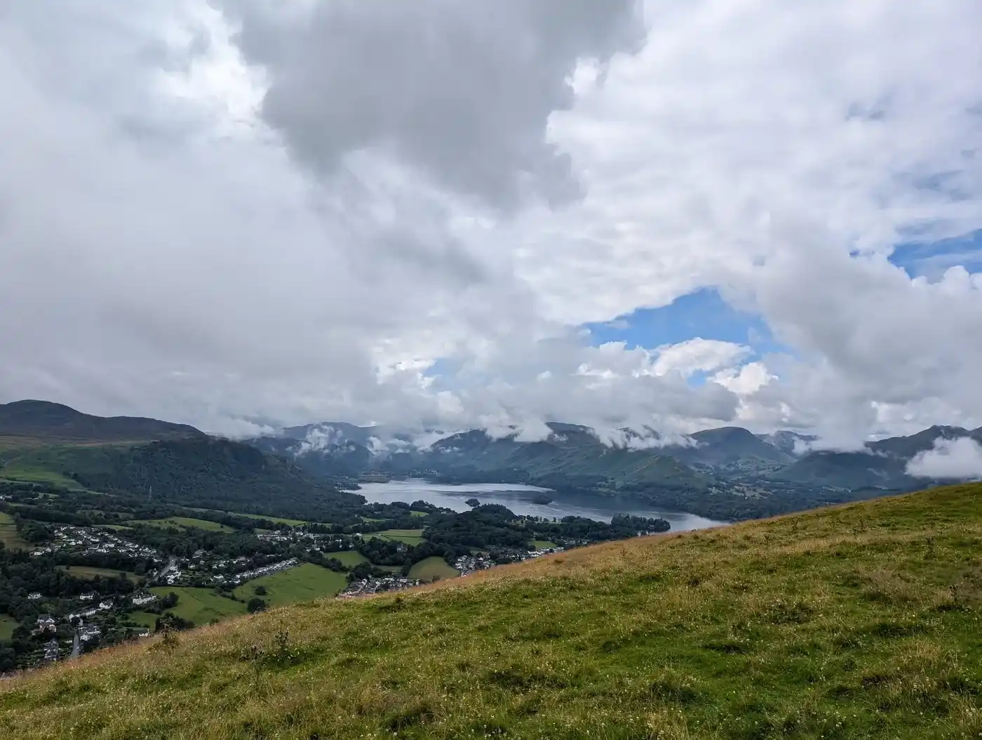 DryLatrigg369 m~1½–2 h🚌 BusDecent · 60 · rated on 27 OctoberLatrigg at 369m (1,211ft) is the little fell above Keswick, its summit giving one of the finest and most accessible viewpoints of Derwent Water and the surrounding fells in the whole Lake District.
Nothing matches those filters — .
Walks in the Northern Fells
Every walk we offer that starts in this area, by our own area tag. All walks has each one with its distance, climb and time.
- A quiet Birkett
- Binsey Walk
- Birketts by Carrock Fell
- Birketts North of Skiddaw
- Blencathra by Sharp Edge
- Blencathra to Mungrisdale Common and over the back
- Blencathra via Blease Fell
- Carrock Fell and Knott
- Carrock Fell High Pike, Knott and Great Calva
- Cockup at the White Hause and other Birketts
- Coomb Height, Knott and Great Calva
- Dodd from Dodd Wood
- Eycott Hills
- Friar's Crag & the Derwentwater shore
- Latrigg
- Latrigg, Little Man, Sale & Cumbria Way Section
- Lonscale Fell, Skiddaw Lesser Man, Skiddaw and Bakestall in the sun!
- North of Skiddaw
- Skiddaw via Ullock Pike and Dodd
- The Tongue Birkett
- Up to Skiddaw Round Trip
- Walla Crag and Bleaberry Fell from Keswick
Map
● fells within ~5 km
An interactive map of the walks and fells in this collection. Each marker links to its page; the same walks and fells are listed on this page.