Walking the Western Fells
The Wainwright and Outlying fells we group as the Western area of the Lake District — each with its height, a typical round time, the bus where there’s one, and today’s predicted conditions. Grouped by our own area tag (a practical guide, not a fixed authored canon). Check the live conditions and the mountain forecast before the tops.
0 of these are rated good to climb on 12 September — see live conditions →
A prediction from our daily fell score (clear summits, wind, rain, visibility), not a guarantee — always check the mountain forecast before you go.
- Too windy for the topsGreat Gable899 m~5 h🚌 BusSave it · 20Great Gable at 899m (2,949ft) is perhaps the most beloved mountain in Lakeland — its profile appears on the badge of the Lake District National Park, and its summit is the site of an annual Remembrance Sunday service by the Fell and Rock Climbing Club.
- Too windy for the topsPillar892 m~5.5 hSave it · 20Pillar at 892m (2,927ft) is one of the great mountains of Lakeland, its tremendous eastern face — dominated by the famous Pillar Rock — home to some of the longest rock climbs in England.
- Too windy for the topsScoat Fell (Little Scoat Fell)841 m~6 hSave it · 20Scoat Fell at 841m (2,759ft) is the broad, high ridge connecting Pillar to Red Pike (Wasdale) and Haycock, a summit of wide views but modest individual character.
- Too windy for the topsRed Pike (Wasdale)826 m~5 hSave it · 20Red Pike (Wasdale) at 826m (2,710ft) is the pointed summit above Overbeck and the Wasdale valley, its russet-red scree slopes visible from Wastwater below giving the fell its name.
- Too windy for the topsSteeple819 m~6 hSave it · 20Steeple at 819m (2,687ft) is a pointed, dramatic summit on the ridge between Scoat Fell and Red Pike (Wasdale), its crags dropping steeply into Mirk Cove above Ennerdale.
- Too windy for the topsHigh Stile806 m~4.5 h🚌 BusSave it · 20High Stile is the highest of the three great fells of the Buttermere ridge, and one of the finest summits in the Western Fells.
- Too windy for the topsKirk Fell802 m~5 hSave it · 19Kirk Fell at 802m (2,631ft) is the often overlooked giant between Great Gable and Pillar, its steep, grassy northern face rising directly from Black Sail Pass in a great dome.
- Too windy for the topsGreen Gable800 m~4.5 h🚌 BusSave it · 20Green Gable at 801m (2,628ft) is the satellite summit of Great Gable to the north, connected by the dramatic Windy Gap.
- Too windy for the topsHaycock797 m~6 hSave it · 20Haycock at 797m (2,615ft) is the westernmost of the high Pillar ridge summits, an isolated fell above the remote Ennerdale forest with distinctive views west to the sea and the Cumbrian coast.
- Too windy for the topsRed Pike (Buttermere)755 m~3.5 h🚌 BusSave it · 20Red Pike is the shapely, warm-hued peak at the Buttermere end of the High Stile ridge — its name from the red Ennerdale granophyre that colours its screes and summit.
- Too windy for the topsHigh Crag (Buttermere)745 m~5 h🚌 BusSave it · 20High Crag at 744m (2,441ft) is the south-eastern anchor of the Buttermere ridge, its dramatic Gamlin End providing the steepest descent in the three-peak circuit.
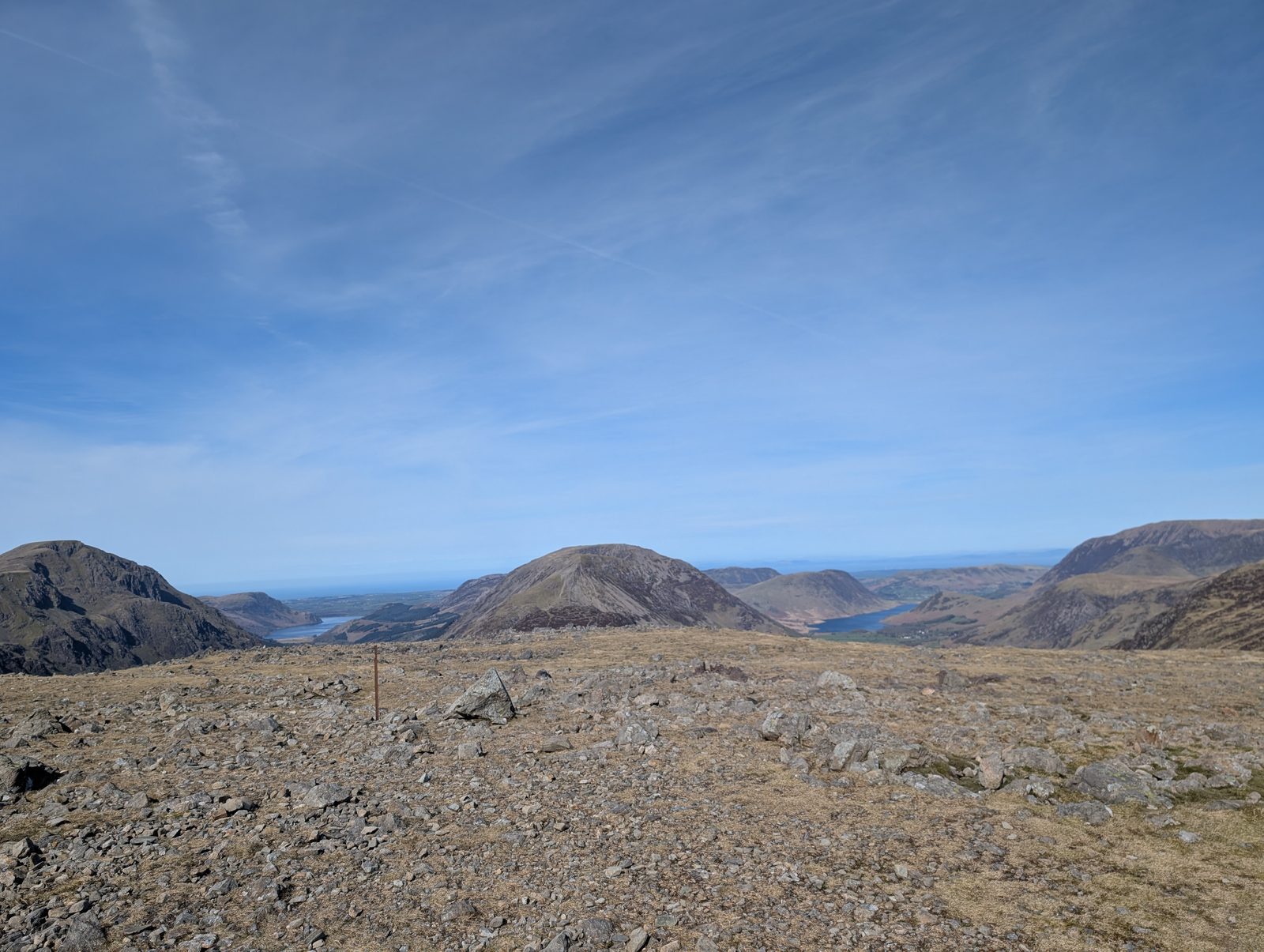 Too windy for the topsBrandreth715 m~4.5 h🚌 BusSave it · 20Brandreth at 715m (2,346ft) is a broad, grassy summit on the Gable ridge above Honister, giving excellent views of Great Gable and the Scafells from the north.
- Too windy for the topsCaw Fell697 m~6 hSave it · 17Caw Fell at 697m (2,287ft) is a Wainwright summit in the Western Fells, a remote and rarely visited top above the south side of Ennerdale.
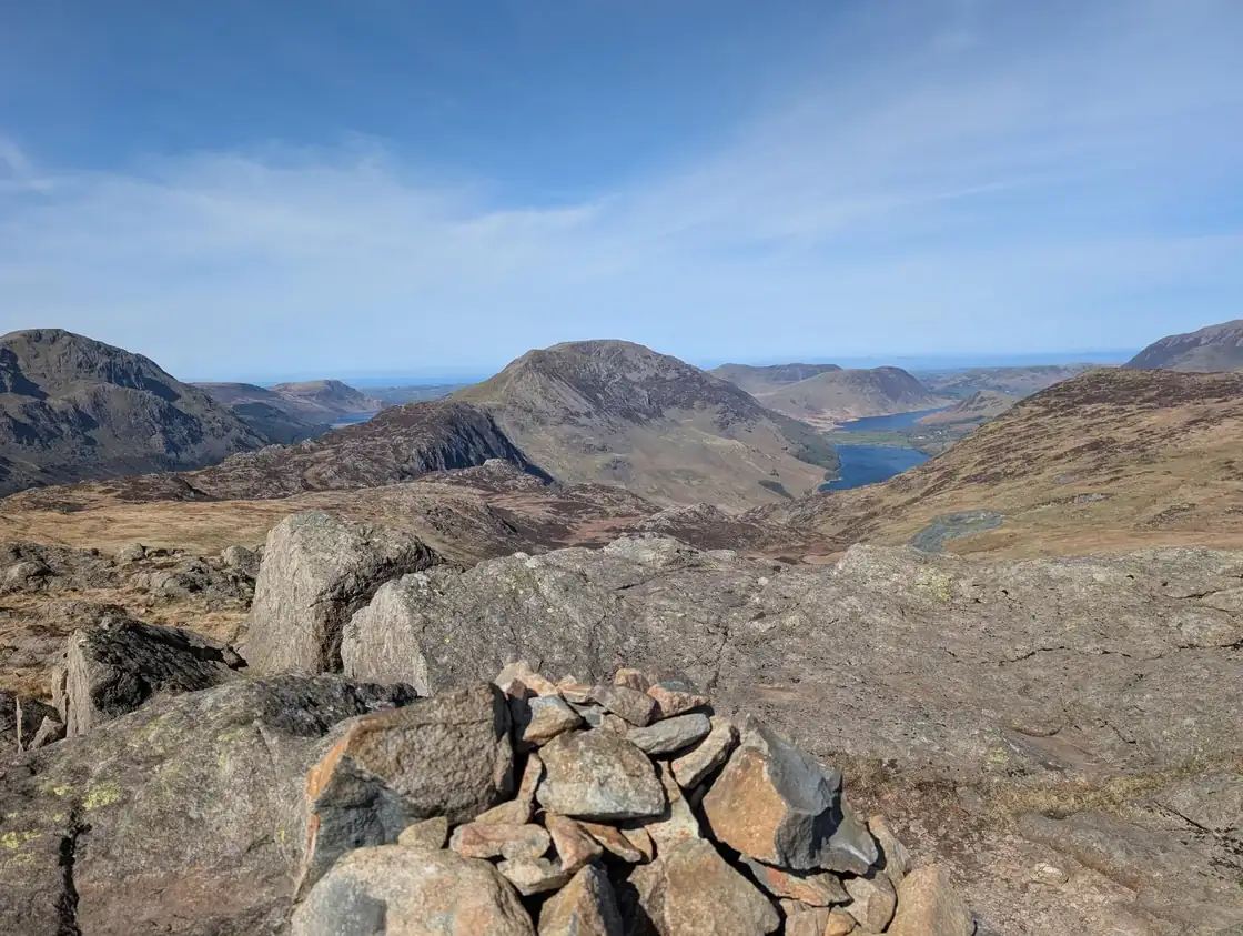 Too windy for the topsGrey Knotts697 m~4.5 h🚌 BusSave it · 20Grey Knotts at 697m (2,287ft) is the first summit above Honister Pass, a pleasant rocky summit giving fine views of the Gable group and across Borrowdale.
- Too windy for the topsSeatallan693 m~5 hSave it · 16Seatallan at 692m (2,270ft) is an isolated, solitary summit above Wasdale, its rounded bulk quite separate from any other fell group.
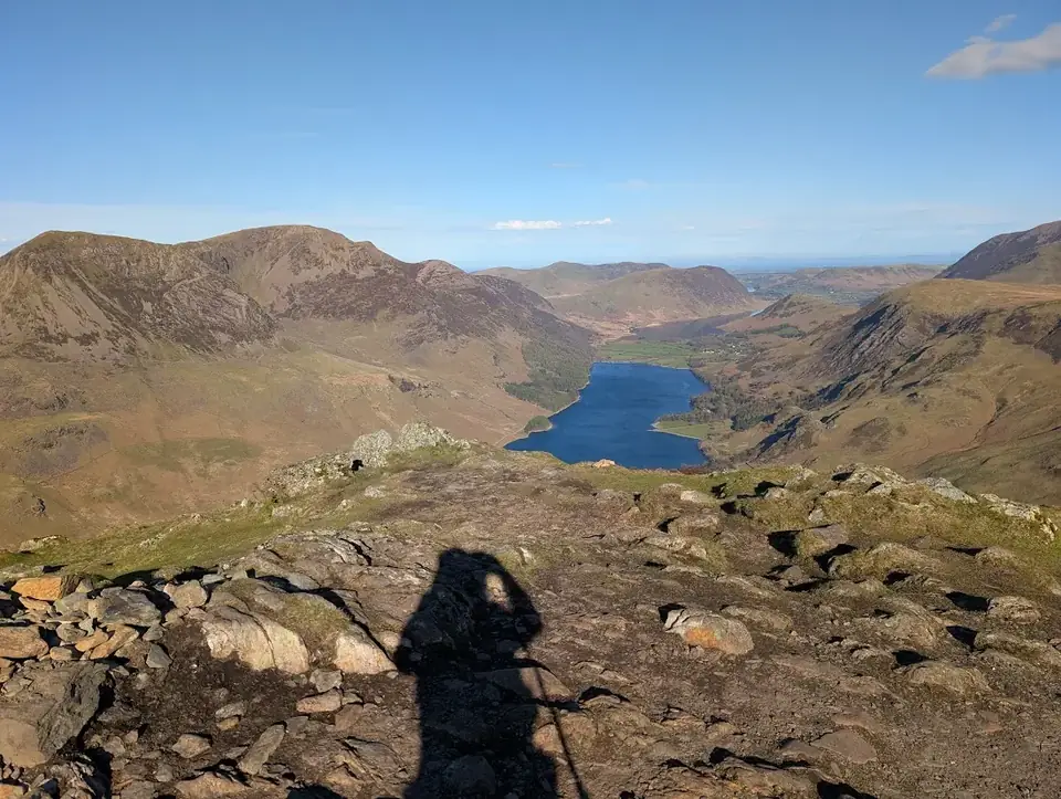 Too windy for the topsFleetwith Pike649 m~2.5 h🚌 BusSave it · 20Fleetwith Pike at 648m (2,126ft) stands above Honister Pass, its northern face falling in the famous Honister Crags that Wainwright described as giving one of the most dramatic fell profiles in the Western Fells.
- Too windy for the topsBase Brown646 m~4.5 h🚌 BusSave it · 19Base Brown at 646m (2,119ft) is a craggy summit above Seathwaite in Borrowdale, its north face dropping in crags to the Borrowdale valley.
- Too windy for the topsStarling Dodd633 m~4.5 h🚌 BusSave it · 17Starling Dodd at 633m (2,077ft) is a broad, grassy summit above Ennerdale between Red Pike and Great Borne, giving fine views of Ennerdale Water and the remote Ennerdale valley.
- Too windy for the topsYewbarrow629 m~4 hSave it · 20Yewbarrow at 628m (2,058ft) is a magnificent, narrow ridge above Wasdale Head, its twin rocky summits and dramatic profile making it one of the most distinctive fells in the Western Fells.
- Too windy for the topsGreat Borne616 m~4 h🚌 BusSave it · 18Great Borne at 616m (2,021ft) is an isolated, rounded summit above Ennerdale Water, its summit giving excellent views of the lake and the remote Ennerdale valley below.
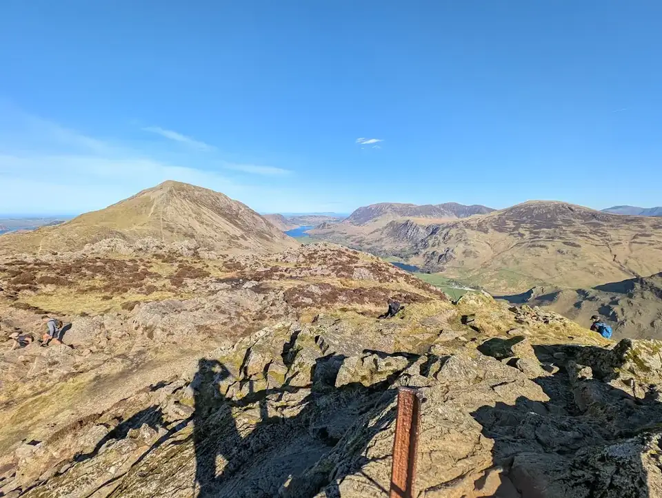 Too windy for the topsHaystacks (Buttermere)597 m~4 h🚌 BusSave it · 19Haystacks at 597m (1,959ft) is the fell Wainwright loved above all others — not for its height, but for its character.
- Too windy for the topsMiddle Fell582 m~3 hSave it · 16Middle Fell at 582m (1,909ft) is a small, craggy summit above Wasdale overlooking Wastwater, its top giving fine views of the lake and the Wastwater Screes.
- Too windy for the topsBlake Fell573 m~3.5 h🚌 BusSave it · 18Blake Fell at 573m (1,880ft) is a broad, heathery summit above Crummock Water and Loweswater, giving fine views of both lakes from its open top.
- Summit likely clagged inLank Rigg541 m~4.5 hSave it · 17Lank Rigg at 541m (1,775ft) is an isolated, remote summit above the Calder valley in the far western Lake District, its open top giving wide views to the coast and across the remote western moorlands.
- Too windy for the topsGavel Fell524 m~3.5 h🚌 BusSave it · 17Gavel Fell at 526m (1,726ft) is a broad, heathery summit between Ennerdale and Loweswater, giving wide views of the western fells.
- Summit likely clagged inCrag Fell523 m~3.5 hSave it · 23Crag Fell rises steeply above the southern shore of Ennerdale Water in the quiet Western Fells, its craggy face — home to the Crag Fell Pinnacles — falling towards the lake.
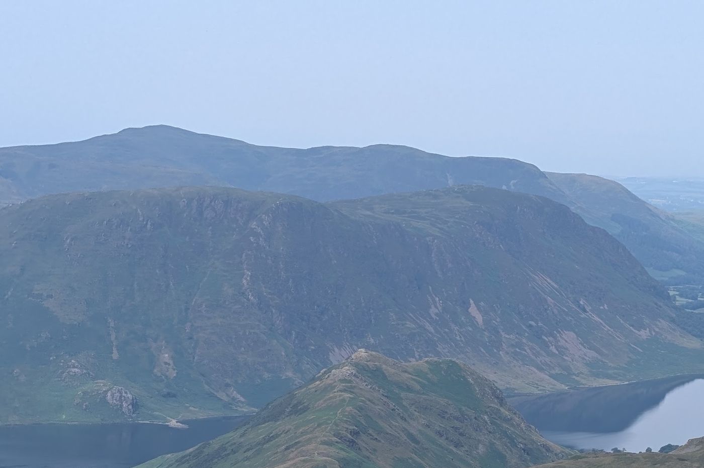 Too windy for the topsMellbreak (Mellbreak South Top)511 m~3.5 h🚌 BusSave it · 19Mellbreak at 512m (1,680ft) is a distinctive double-summited ridge above the western shore of Crummock Water, its steep flanks rising directly from the lake edge.
- Too windy for the topsHen Comb506 m~3.5 h🚌 BusSave it · 16Hen Comb at 509m (1,670ft) is a distinctively shaped ridge above Loweswater, its narrow summit giving fine views of Loweswater and Crummock Water.
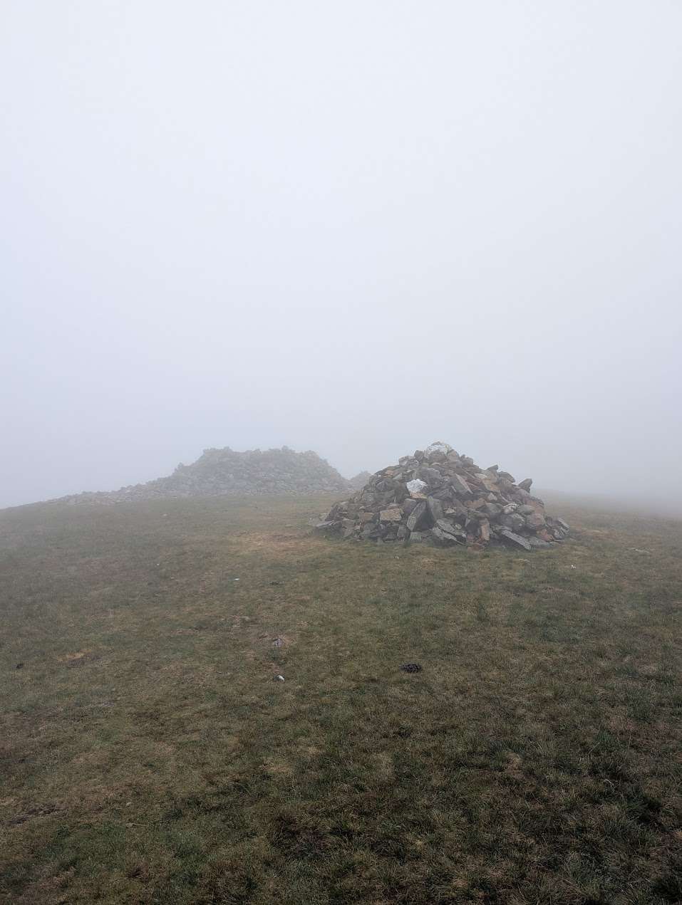 Summit likely clagged inGrike488 m~3.5 hSave it · 23Grike is a low, heathery fell on the far-western fringe of the Lakes, above Ennerdale and the old mining ground of Kinniside.
- Summit likely clagged inBurnbank Fell475 m~3.5 h🚌 BusSave it · 17Burnbank Fell at 475m (1,558ft) is a heathery moorland summit above Loweswater giving fine views of the lake below and the Grasmoor massif above.
- Summit likely clagged inBuckbarrow423 m~2 hSave it · 19Buckbarrow at 423m (1,388ft) is a craggy little summit above Wastwater, its western crags giving a dramatic profile from the road below and excellent views of the lake from the summit.
- Summit likely clagged inLow Fell422 m~2 h🚌 BusSave it · 28Low Fell at 423m (1,388ft) above Loweswater is a delightful, craggy little fell giving outstanding views of Loweswater lake and the Grasmoor group above.
- Summit likely clagged inFellbarrow - Mosser Fell416 m~2 h🚌 BusSave it · 27Fellbarrow at 416m (1,365ft) is a heathery summit above Lorton Vale, giving fine views of the vale and Bassenthwaite Lake.
Nothing matches those filters — .
Map
● fells within ~5 km
An interactive map of the route start points and the fells within about 5 km. Each marker links to its page; the same routes and fells are listed below.