The lakes & waters of the Lake District
The lakes of the Lake District

The "lakes" give the Lakes their name, and people often ask how many there are, what they're called, and which is the nicest or most beautiful — an impossible, personal question, but the main ones to know are:
- Lake Windermere — England's largest natural lake and the heart of the boating scene (and not to be confused with Windermere town or Bowness on its shore).
- Ullswater — many people's favourite for sheer beauty, with its historic steamers and the Helvellyn backdrop.
- Derwentwater — the pretty, island-studded "Queen of the Lakes" at Keswick, ringed by crag and woodland.
- Coniston Water — the third-largest, below the Old Man of Coniston; Donald Campbell and Bluebird, Swallows and Amazons, Ruskin's Brantwood and the Steam Yacht Gondola.
- Haweswater — the remote eastern reservoir that drowned the village of Mardale; no swimming, but wild, quiet walking country.
- Bassenthwaite Lake — the only water actually called a "lake", a quiet nature reserve under Skiddaw.
- Thirlmere — a conifer-ringed reservoir (no swimming) and the gentler, western way up Helvellyn.
- Ennerdale Water — the remotest lake, the only one with no road alongside it, at the heart of the wild Ennerdale valley.
- Wast Water — England's deepest lake, under the dramatic Screes; "Britain's Favourite View".
- Crummock Water — a quiet National Trust lake in the Buttermere valley; Scale Force and a lovely swim.
- Buttermere, Loweswater and Grasmere among others — each with its own character, from gentle and pastoral to stark and dramatic.
A nice bit of pub-quiz trivia: despite the name, only one of them is officially a "lake" — Bassenthwaite Lake. All the others are "waters", "meres" or "tarns".
The lakes at a glance
The questions people actually ask about the Lake District’s lakes — which is biggest, deepest and longest, and where you can’t swim.
Find your water
Tap what you fancy — the map, cards and table below all filter to match. Pick more than one to narrow it.
Explore the waters map
- Lakes & reservoirs
- Tarns
- Waterfalls
An interactive map with a marker for every lake, tarn and waterfall, coloured by type. Every one is also listed, with a link to its guide, in the sections below.
Every lake & water
In-depth guides to each of the 17 main lakes and reservoirs — getting there, parking, the best walk, boats and the swimming rules.
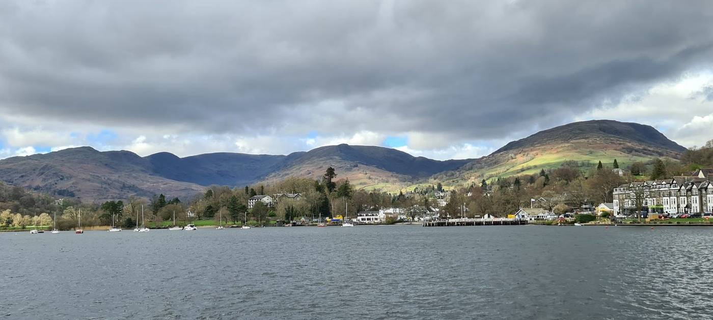 Lake
LakeLake Windermere
England's largest natural lake; Windermere Lake Cruises
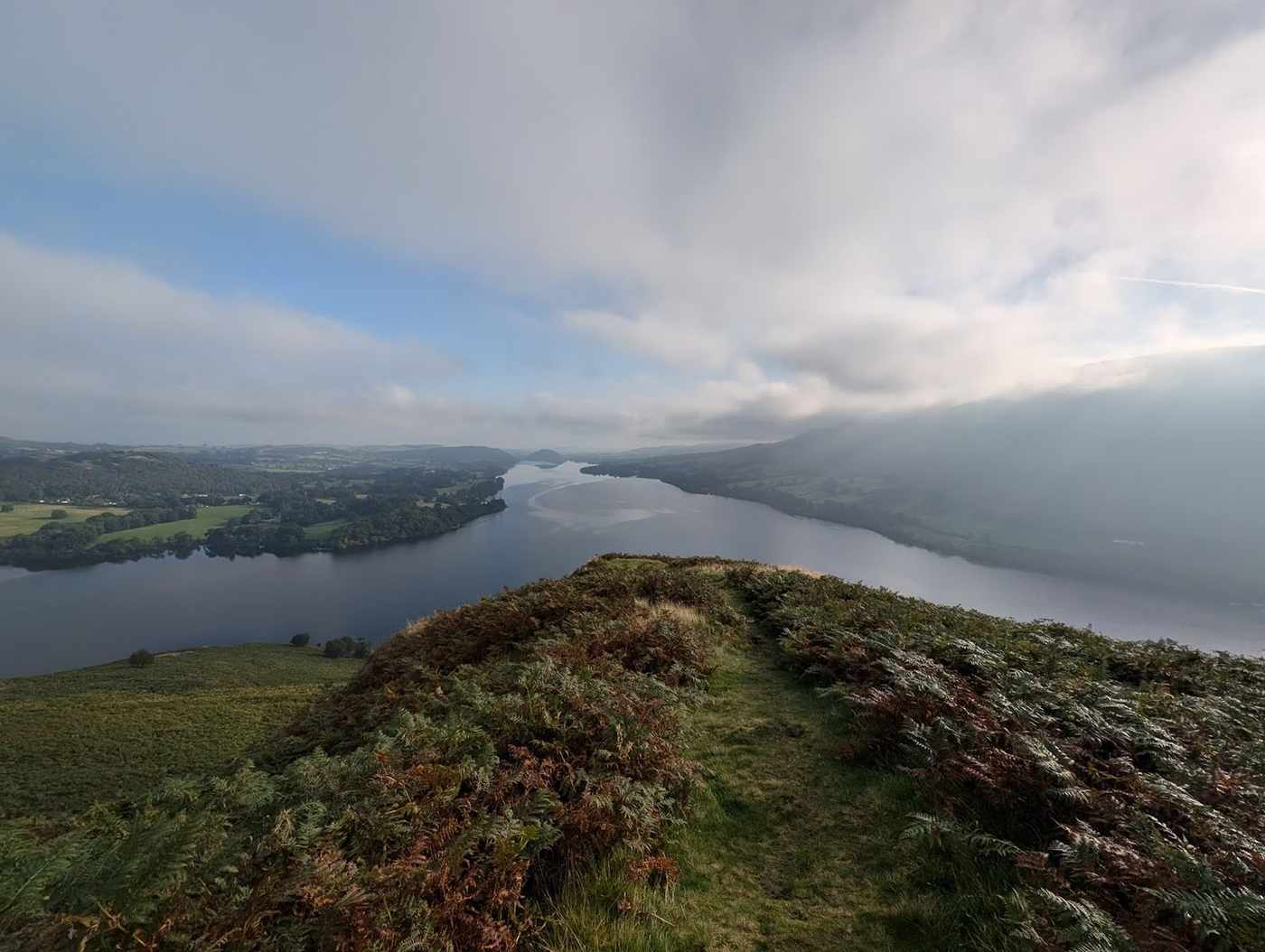 Lake
LakeUllswater
Second-largest; Ullswater Steamers
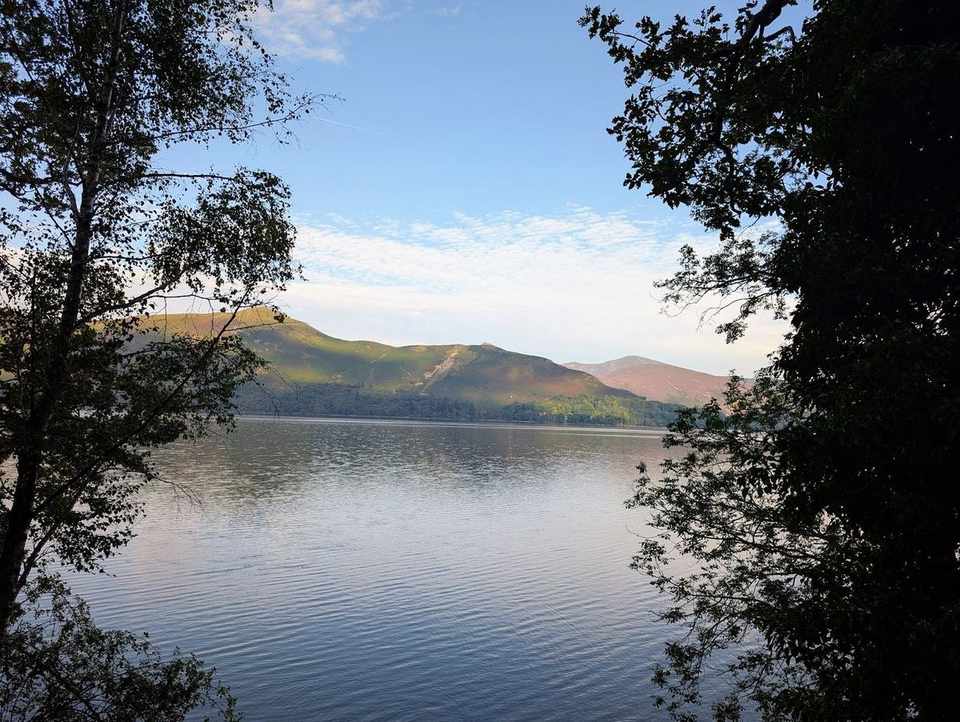 Lake
LakeDerwentwater
Keswick Launch; shallow and island-dotted
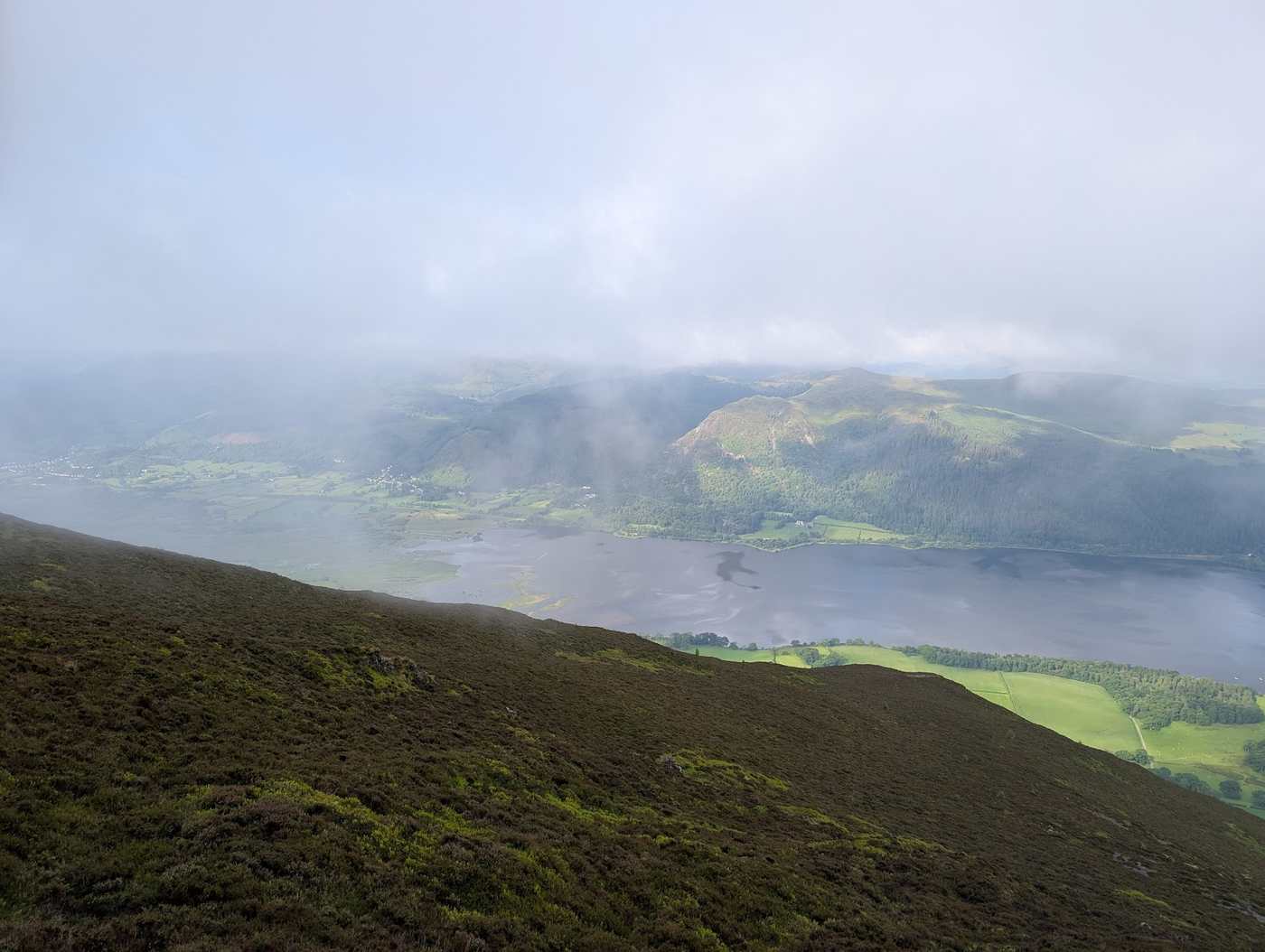 Lake
LakeBassenthwaite Lake
The only body officially called a 'Lake'; National Nature Reserve; blue-green algae common
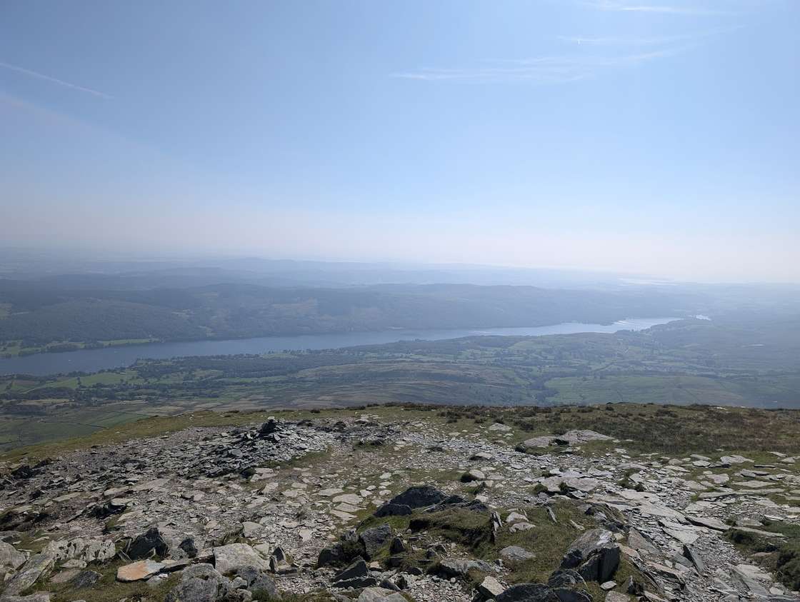 Lake
LakeConiston Water
Coniston Launch + Steam Yacht Gondola; Campbell water-speed history
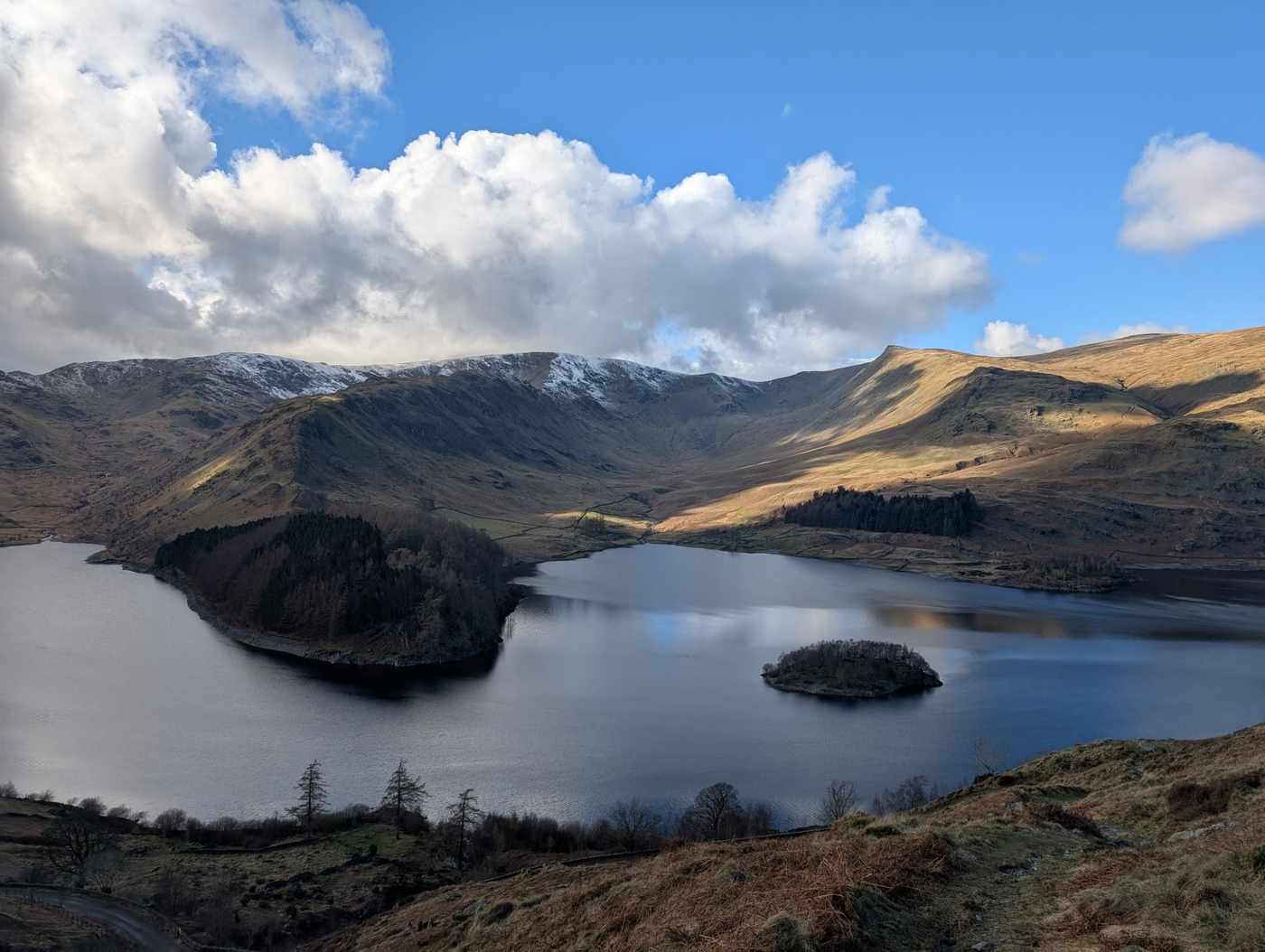 Reservoir
Haweswater
Drinking-water reservoir (United Utilities); swimming prohibited
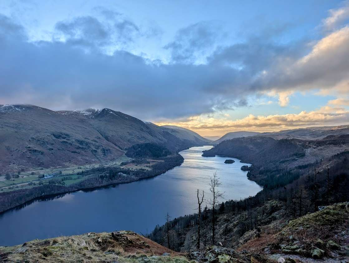 Reservoir
Thirlmere
Drinking-water reservoir; no swimming/paddleboarding; canoe/kayak by permit
- Reservoir
Ennerdale Water
Drinking-water reservoir; swimming prohibited; remotest of the waters
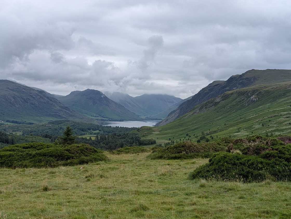 Lake
LakeWast Water
England's deepest lake; National Trust; below Scafell Pike
- Lake
Crummock Water
Rowing-boat hire; linked to Buttermere
- Lake
Esthwaite Water
Private fishery; electric boats/fishing permits; algae at times
- Lake
Buttermere
Rowing only; classic lakeshore circuit
- Lake
Loweswater
National Trust rowing boats; flows toward Crummock
- Lake
Grasmere (the lake)
Rowing-boat hire; Wordsworth country
- Lake
Rydal Water
Small; classic short lake circuit with Rydal Cave
- Lake
Elter Water
Small reedy lake; Skelwith Force is its outflow
 Lake
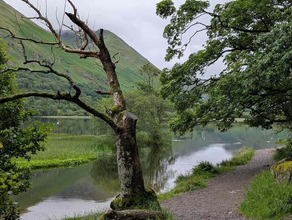
LakeBrothers Water
Small quiet lake below Kirkstone; some sources ~16 m depth


Compare the lakes
Sortable by any column — tap a heading. Default order is deepest first.
| Wast Water | 79.0 | 2.9 | 4.8 | None (non-powered) | Yes |
|---|---|---|---|---|---|
| Lake Windermere | 66.7 | 14.8 | 17.0 | 10 mph limit | Yes |
| Ullswater | 63.0 | 8.9 | 14.5 | permit + 10 mph | Yes |
| Haweswater | 57.0 | 3.9 | 6.9 | None | No swimming (reservoir) |
| Coniston Water | 56.0 | 4.9 | 8.7 | permit + 10 mph | Yes |
| Thirlmere | 46.0 | 3.3 | 5.9 | None | No swimming (reservoir) |
| Crummock Water | 44.0 | 2.5 | 4.0 | None (non-powered) | Yes |
| Ennerdale Water | 42.0 | 3.0 | 3.8 | None | No swimming (reservoir) |
| Buttermere | 28.0 | 0.9 | 2.0 | None (non-powered) | Yes |
| Derwentwater | 22.0 | 5.5 | 4.6 | permit + 10 mph | Yes |
| Grasmere (the lake) | 21.0 | 0.6 | 1.6 | None (non-powered) | Yes |
| Brothers Water | 20.0 | 0.18 | 0.6 | None (non-powered) | Yes |
| Rydal Water | 20.0 | 0.3 | 1.2 | None (non-powered) | Yes |
| Bassenthwaite Lake | 19.0 | 5.3 | 6.2 | None (non-powered) | Limited |
| Loweswater | 16.0 | 0.6 | 1.8 | None (non-powered) | Yes |
| Esthwaite Water | 15.0 | 1.0 | 2.5 | None (non-powered) | Limited |
| Elter Water | 7.0 | 0.26 | 0.9 | None (non-powered) | Limited |
Figures are best widely-cited (see our data sources); boating and blue-green-algae status change — check before you go. Download the data (CSV).
Use & cite this data
Our lake figures are compiled into a single sourced dataset you’re welcome to reuse — for research, journalism, or your own planning. Free to use with credit.
Source: The lakes & waters of the Lake District, hikes.guide (waters dataset, 2026).
Grab the citation (HTML) — paste to credit the dataset with a link back:
How we compiled it
- Areas and depths vary slightly between sources (different survey bases/dates) — treat as best widely-cited figures, not survey-exact. Confidence flags the strength.
- Swimming 'banned' applies to the drinking-water reservoirs (Haweswater, Thirlmere, Ennerdale) per the National Park / United Utilities. 'limited' = nature reserve, private fishery, or recurrent blue-green algae. 'yes' means wild swimming is possible but always cold and unsupervised — this is not a safety endorsement.
- Boating rules and blue-green algae status change; verify launches/permits and current algae warnings before a visit.
- Elevation is deliberately omitted (inconsistent across sources) — add later if a single authority is used.
Sources: Lake District Guide — lakes by size / facts (opens in new tab) · Lake District Guide — deepest lakes (opens in new tab) · Swimming in the Lake District / reservoir safety (opens in new tab) · Water and boating activities in the Lake District (10 mph byelaw; boat registration) (opens in new tab) · National Trust — Lake District (boat hire at Trust lakes) (opens in new tab).
Spot an error? Request a correction — every figure is sourced and dated, and genuine mistakes are fixed promptly.
Independence: hikes.guide is wholly independent and not affiliated with the Lake District National Park Authority, United Utilities, the National Trust or any boat operator; official bodies are linked as primary sources, not sponsors.
Review cadence: boating rules and bathing-water status are reviewed each spring, at the start of the season.
Boating & launches
Where you can take a boat, who runs the passenger launches, what you can hire and the permits — grouped by the distinction that matters: the four lakes open to powered craft (under a strict 10 mph limit), the non-powered lakes (rowing, kayak and paddleboard only), and the drinking-water reservoirs where boating is restricted or banned.
| Lake | Powered craft | Launch / cruise | Hire | Permit |
|---|---|---|---|---|
| Powered craft — 10 mph limit | ||||
| Lake Windermere | 10 mph limit | Windermere Lake Cruises (opens in new tab) | rowing, self-drive motor, kayak & SUP | LDNPA boat registration (powered craft) |
| Ullswater | 10 mph limit | Ullswater Steamers (opens in new tab) | rowing, kayak & SUP | LDNPA boat registration (powered craft) |
| Derwentwater | 10 mph limit | Keswick Launch (opens in new tab) | rowing, kayak & SUP | LDNPA boat registration (powered craft) |
| Coniston Water | 10 mph limit | Coniston Launch & Steam Yacht Gondola (NT) | rowing, motor, kayak & SUP (Coniston Boating Centre) | LDNPA boat registration (powered craft) |
| Non-powered only (rowing, kayak & SUP) | ||||
| Bassenthwaite Lake | non-powered only | — | limited (local sailing club) | access limited (National Nature Reserve) |
| Wast Water | non-powered only | — | none | National Trust (no facilities) |
| Crummock Water | non-powered only | — | rowing boats (National Trust) | National Trust |
| Esthwaite Water | non-powered only | — | electric & fishing boats (Esthwaite fishery) | private fishery permit |
| Buttermere | non-powered only | — | rowing boats (Gatesgarth / NT) | landowner / National Trust |
| Loweswater | non-powered only | — | rowing boats (National Trust) | National Trust |
| Grasmere (the lake) | non-powered only | — | rowing boats (Faeryland) | operator |
| Rydal Water | non-powered only | — | none | none needed |
| Elter Water | non-powered only | — | none | limited access (reedy/shallow) |
| Brothers Water | non-powered only | — | none | National Trust (no facilities) |
| Reservoirs — boating restricted | ||||
| Haweswater | no boating (reservoir) | — | none | United Utilities (no water access) |
| Thirlmere | no powered boats (reservoir) | — | none | United Utilities permit (canoe/kayak only) |
| Ennerdale Water | no boating (reservoir) | — | none | United Utilities |
Powered-boat rules and registration on Windermere, Ullswater, Coniston and Derwentwater are set by the Lake District National Park Authority (opens in new tab); reservoir access by United Utilities (opens in new tab). Operators and permits change — check before you travel.
Wild swimming & water quality
Three of the waters here are drinking-water reservoirs where swimming is banned — Haweswater, Thirlmere and Ennerdale Water (the National Park also lists Kentmere reservoir). Everywhere else, wild swimming is at your own risk.
Before you get in (this is always true)
- Cold-water shock is the real danger — even in summer the water stays cold and shelves steeply. Never jump in; walk in slowly to let your body adjust.
- No lifeguards, and help is far off. Don’t swim alone or after alcohol; wear a bright hat and consider a tow-float and a paddleboard or kayak as support.
- Currents, weed, cold deep water and boat traffic catch people out even close to shore. Know your limits and your exit.
- Blue-green algae can be toxic to people and dogs. If the water looks like pea soup or has a scummy bloom, keep out, keep pets out, and report it.
Check conditions before you go — official sources
We don’t fake a live feed — for current conditions, go straight to the bodies that monitor them:
- Blue-green algae: UKCEH Bloomin’ Algae map (opens in new tab) (and the reporting app (opens in new tab)) — the tool UK agencies use for bloom sightings.
- Bathing-water quality: the Environment Agency’s Swimfo (opens in new tab) classifications for designated bathing waters.
- Safety codes: the Lake District National Park SwimSafe (opens in new tab) guidance, and United Utilities (opens in new tab) on why reservoirs are off-limits.
Bathing-water & water quality
Windermere has four Environment-Agency-designated bathing waters (Fell Foot, Millerground, Rayrigg Meadow and Lakeside), each classified annually — check the current rating on the official Swimfo profile (opens in new tab) (recent classifications have been Excellent). Water quality is a genuine concern: the Environment Agency reported in December 2023 (opens in new tab) that around 52% of the phosphorus entering Windermere’s north basin comes from sewage (storm overflows, treatment works and septic tanks) and about 48% from land run-off; the multi-agency Love Windermere partnership is working to reduce it. We note this factually so you can plan — check the live sources above, especially around heavy rain.
This is information to help you plan, not an endorsement of swimming at any particular spot.
Walk right around a lake
Some of the best low-level days in the Lakes are a full lap of the water. These are the genuine lakeshore circuits, each with its own walk:
- Buttermere — the classic ~4.5-mile lap, mostly level, with a rock tunnel
- Grasmere — an easy circuit in Wordsworth country
- Rydal Water — a short loop past Rydal Cave
- Loweswater — a quiet, gentle full circuit
- Crummock Water — a lakeshore walk under Mellbreak
- Elterwater — riverside to Skelwith Force
- Derwentwater — the Friar’s Crag shore — hop the launch to skip the road sections
After the easiest, flattest options with honest pushchair and young-kids flags? See our easy & family walks.
Tarns
The mountain tarns — small upland pools cradled in the fells, each with the walk up, whether you can swim, and the summit above.
Angle Tarn (Patterdale)
An honest guide to Angle Tarn above Patterdale — the walk in from Patterdale via Boredale Hause, wild swimming among the…
🏊 Swim🐕 Dogs on leads🚫 No buggyBlea Tarn (Langdale)
An honest guide to Blea Tarn in Langdale — the small National Trust tarn with the most famous view of the Langdale Pikes…
🏊 Swim🐕 Dogs on leads🚫 No buggyEasedale Tarn
An honest guide to Easedale Tarn above Grasmere — the classic walk past Sourmilk Gill, the corrie tarn below Tarn Crag a…
🏊 Swim🐕 Dogs on leads🚫 No buggyHarrop Tarn
An honest guide to Harrop Tarn above Thirlmere — the reedy forest tarn reached by a short climb from Dob Gill, the woodl…
High Dam
An honest guide to High Dam above Finsthwaite near Newby Bridge — the tranquil woodland tarn (a former bobbin-mill reser…
Loughrigg Tarn
An honest guide to Loughrigg Tarn near Grasmere — the small, reedy lowland tarn Wordsworth loved, with its Langdale Pike…
Stickle Tarn
An honest guide to Stickle Tarn in Langdale — the steep walk up beside Stickle Ghyll, the dramatic cliff of Pavey Ark an…
🏊 Swim🐕 Dogs on leads🚫 No buggyTarn Hows
An honest guide to Tarn Hows — the Lake District's most popular tarn, with its near-level accessible loop, the National…
🐕 Dogs on leads🍼 Pushchair👪 Family-friendly
Waterfalls
The waterfalls and forces — the short walks to reach them, when they run best after rain, and how to get there.
See our full Lake District waterfalls guide → — which is highest, easiest to reach and most powerful, with a map.
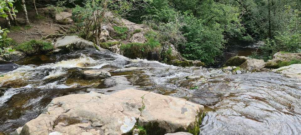
Aira Force
An honest guide to Aira Force, the Lake District's most famous waterfall above Ullswater — the short walk from the Natio…
⚠️ Swim with care🐕 Dogs on leads🚫 No buggy👪 Family-friendly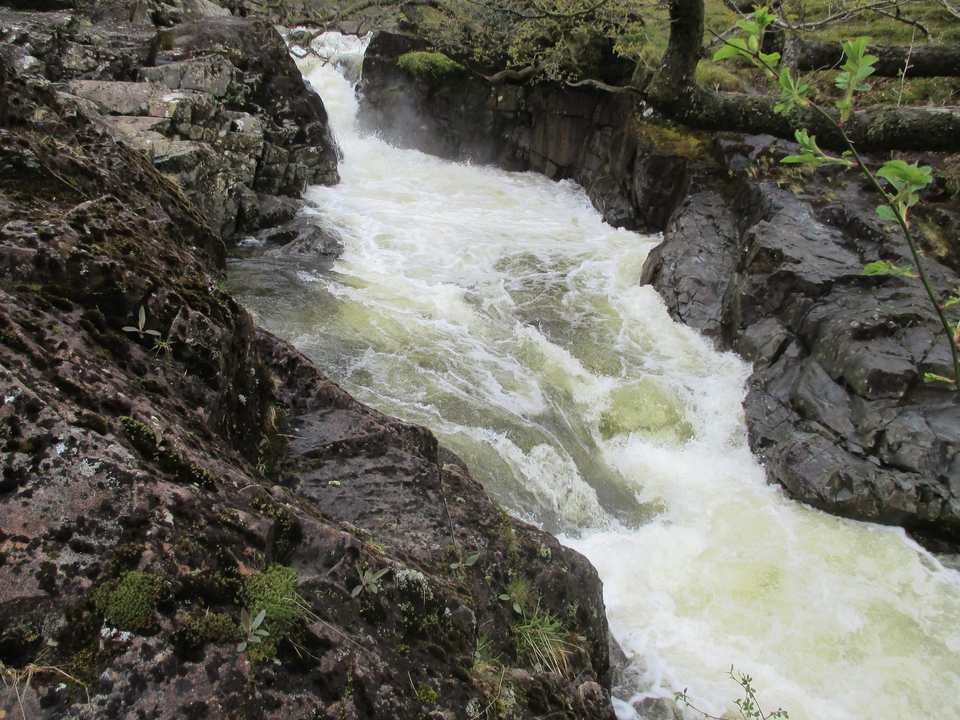
Galleny Force
An honest guide to Galleny Force near Stonethwaite in Borrowdale — the string of clear pools and small falls known local…
⚠️ Swim with care🐕 Dogs🚫 No buggy👪 Family-friendly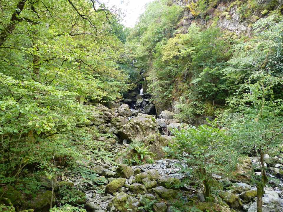
Lodore Falls
An honest guide to Lodore Falls at the head of Derwentwater — the wooded cascade made famous by Southey's poem, how to r…
🚫 No swimming🐕 Dogs🚫 No buggy👪 Family-friendly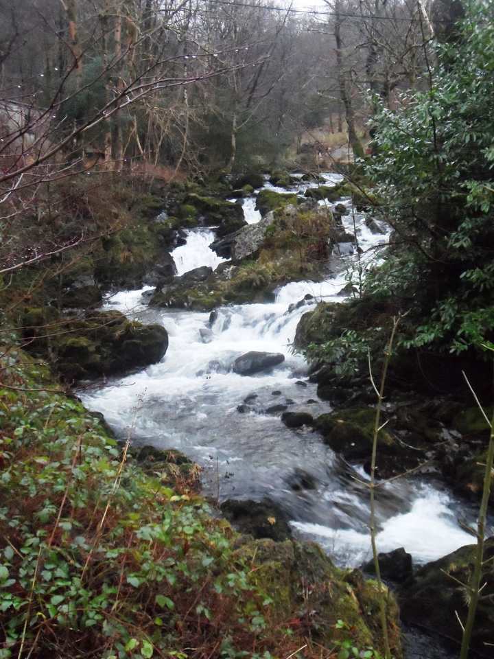
Rydal Hall Waterfalls
An honest guide to the Rydal Hall waterfalls near Ambleside — the Lower Falls seen from The Grot, one of Britain's oldes…
🚫 No swimming🐕 Dogs🍼 Part-buggy👪 Family-friendly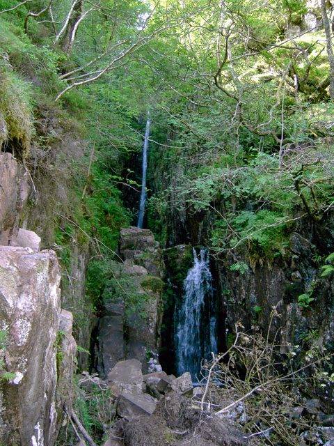
Scale Force
An honest guide to Scale Force, often called the Lake District's highest waterfall at about 170 ft — the boggy walk in f…
⚠️ Swim with care🐕 Dogs🚫 No buggy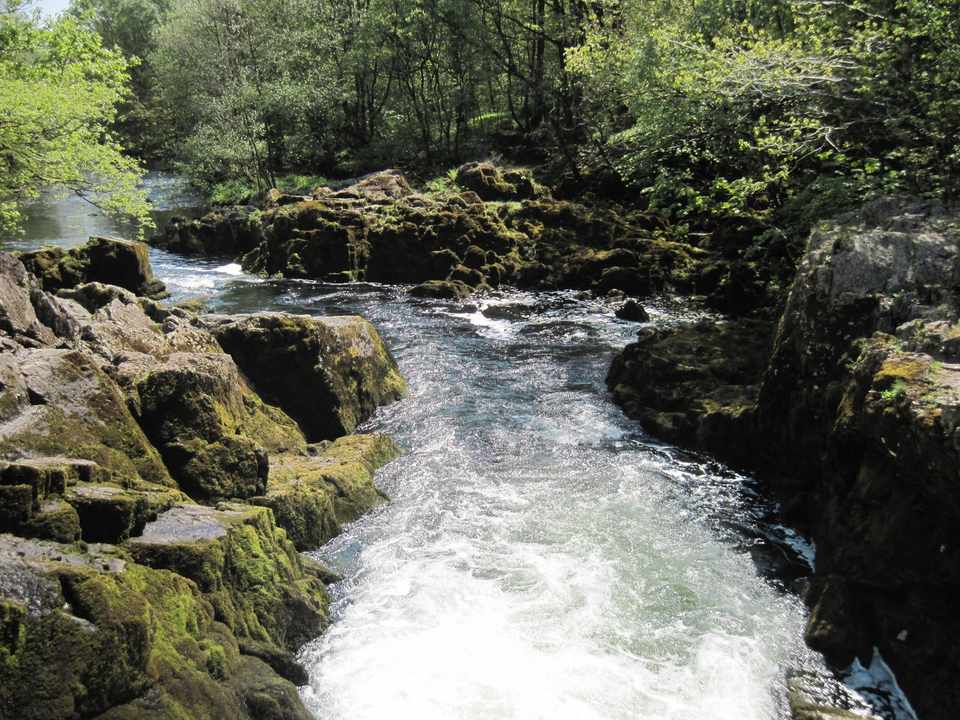
Skelwith Force
An honest guide to Skelwith Force near Elterwater — a low but hugely powerful waterfall on the River Brathay, the easy n…
⚠️ Swim with care🐕 Dogs🍼 Part-buggy👪 Family-friendly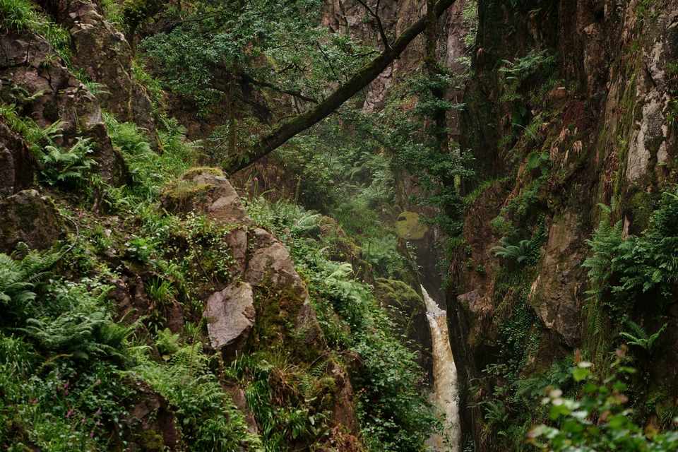
Stanley Ghyll Force
An honest guide to Stanley Ghyll Force in Eskdale — one of the Lake District's most spectacular waterfalls, in a deep wo…
⚠️ Swim with care🐕 Dogs🚫 No buggy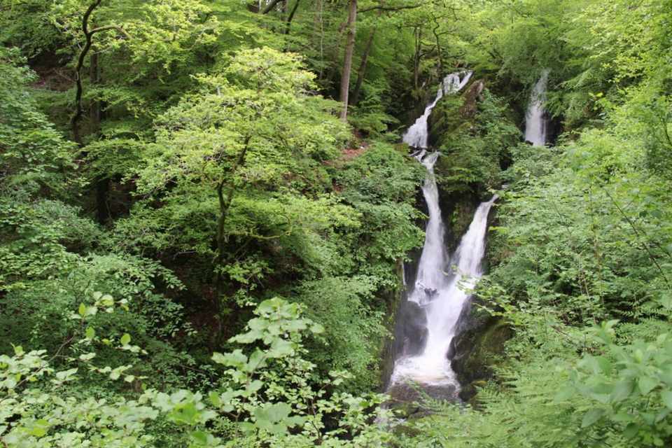
Stock Ghyll Force
An honest guide to Stock Ghyll Force, the ~70 ft waterfall just above Ambleside — the short woodland walk from the town,…
⚠️ Swim with care🐕 Dogs🍼 Part-buggy👪 Family-friendly
How the lakes formed
The pattern is no accident. During the last Ice Age, a great dome of ice sat over the central fells and flowed outward in every direction. Those glaciers gouged the valleys deeper and straighter as they went, and when the ice melted the valleys filled — which is why the big lakes radiate like spokes from the middle: Windermere and Coniston to the south, Wast Water and Ennerdale to the west, Derwentwater and Ullswater to the north and east. Higher up, smaller glaciers scooped armchair hollows — corries — now cradling the mountain tarns. And the quirk of names? Only Bassenthwaite Lake is actually called a ‘lake’; the rest are ‘meres’ and ‘waters’.
Frequently asked questions about the Lake District’s lakes
How many lakes are in the Lake District?
Here’s the catch that makes it a great pub-quiz question: only one body of water in the Lake District is officially called a ‘lake’ — Bassenthwaite Lake. Every other one is a ‘water’, a ‘mere’ or a ‘tarn’. The main lakes are usually counted as 16; we cover 17 here, adding smaller waters like Elter Water. On top of those there are hundreds of small mountain tarns scattered across the fells.
Sources: Lake District National Park - facts & figures (opens in new tab) · Wikipedia - List of lakes of the Lake District (opens in new tab)
What are the names of the lakes in the Lake District?
The main waters, biggest first, are: Windermere, Ullswater, Derwentwater, Bassenthwaite Lake, Coniston Water, Haweswater, Thirlmere, Ennerdale Water, Wast Water, Crummock Water, Buttermere, Loweswater, Grasmere, Rydal Water, Brothers Water, Esthwaite Water and Elter Water. We have a full guide to each — see all the lakes & waters below.
Which is the only one officially called a 'lake'?
Bassenthwaite Lake, a quiet, shallow nature reserve under Skiddaw near Keswick. Every other named water uses ‘water’ (Derwentwater, Coniston Water), ‘mere’ (Windermere, Buttermere — ‘mere’ already means lake) or ‘tarn’ for the small ones — so ‘Lake Windermere’ technically says ‘lake’ twice.
What is the largest lake in the Lake District?
Windermere — at about 10.5 miles long it is the largest natural lake in England, and the centre of the boating scene. Ullswater is the second largest, and Coniston Water the third.
Which is the deepest lake in the Lake District?
Wast Water is the deepest, at about 74 m (243 ft) — the deepest lake in England, its bed dropping well below sea level beneath the dramatic Wastwater Screes. Its head-of-valley view of Great Gable and the Scafells was once voted ‘Britain’s Favourite View’.
What are the 16 lakes in the Lake District?
‘The 16 lakes’ is the list usually given for the main bodies of water: Windermere, Ullswater, Derwentwater, Bassenthwaite Lake, Coniston Water, Haweswater, Thirlmere, Ennerdale Water, Wast Water, Crummock Water, Buttermere, Loweswater, Grasmere, Rydal Water, Brothers Water and Esthwaite Water. The exact 16 vary slightly between sources — we add Elter Water to make 17. See the full list with a guide to each below.
Which lakes can you swim in, and which are reservoirs?
Two of the main waters are drinking-water reservoirs with no swimming: Haweswater and Thirlmere. Most of the others are popular for wild swimming — Crummock Water, Buttermere, Derwentwater and Coniston Water among them — though there’s no swimming in the private fishery at Esthwaite Water. Always check the individual lake’s guide for the rules, cold-water safety and where to get in.
Which is the prettiest lake in the Lake District?
It’s personal, but the crowd favourites are Ullswater (sweeping and steamer-served, with Helvellyn behind), Buttermere (a perfect, ringed-by-fells circuit), Derwentwater (island-studded above Keswick) and Wast Water (stark and dramatic). For an easy, beautiful lakeside walk to judge for yourself, see our easy & family walks.