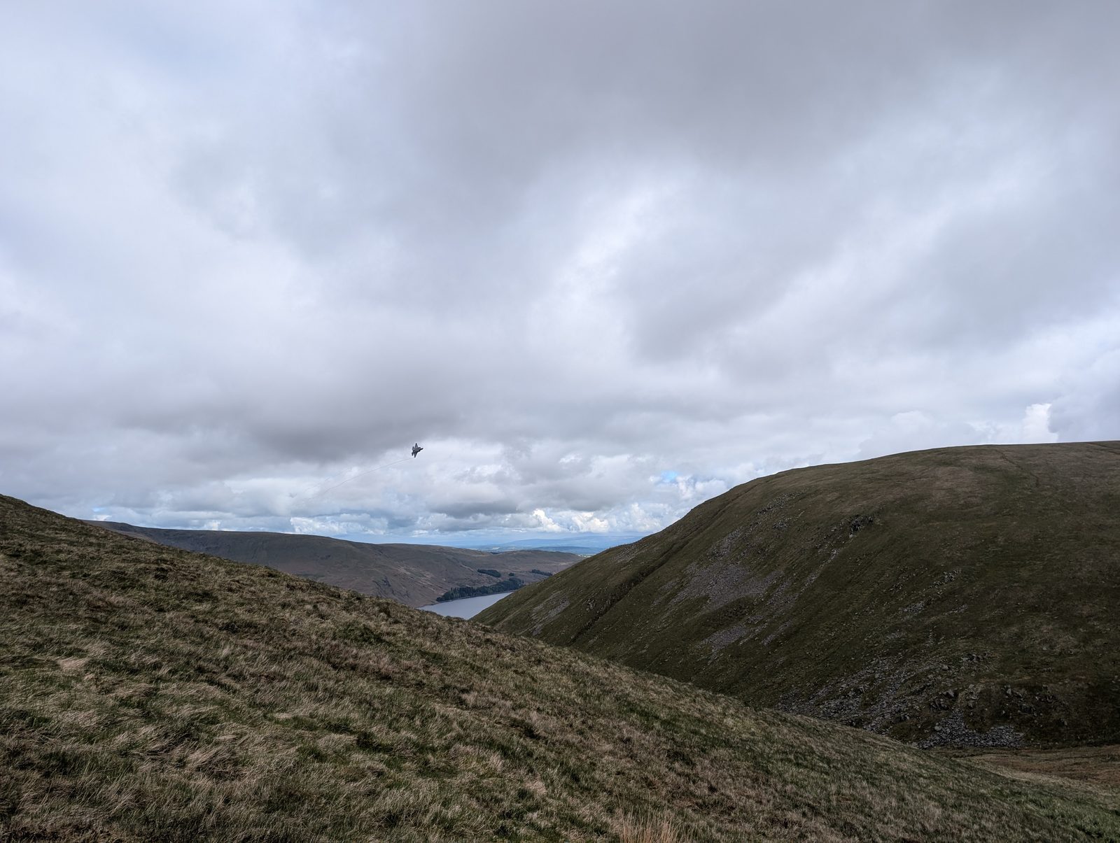
The Haweswater Birketts
The fells around Haweswater, from the High Street ridge and Bampton Common on its west side round the head of Mardale under Harter Fell and Branstree, and east over Naddle Forest and Swindale to Wet Sleddale, hold 31 tops that are not Wainwrights, 24 of them Birketts. 26 of them are on at least one of our routes, measured on the route’s own GPS line, and each card names the route; the other 5 come within a kilometre of one, and their cards say how close, from the same line.
The routes over these tops
- Birketts West of Haweswater — Planned: a line we have drawn and not yet walked. 23.8 km, 1336 m of ascent; takes in 5 of these tops: Low Raise, Red Crag, Low Kop, Gowk Hill and Castle Crag (Mardale).
- Mardale circuit — Walked by us. 17.5 km, 1142 m of ascent; takes in 2 of these tops: Little Harter Fell and Rough Crag (Riggindale).
- Two Birketts from Mardale Head — Walked in part by us; the rest is a planned line. 9.6 km, 550 m of ascent; takes in 2 of these tops: Branstree NE Top (Branstree East Top) (High Howes (Mardale)) and Brown Howe (Mardale).
- Birketts South of Burnbanks — Planned: a line we have drawn and not yet walked. 7.6 km, 303 m of ascent; takes in 4 of these tops: Naddle High Forest, Wallow Crag, Naddle Low Forest and Hugh's Laithes Pike.
- Pinnacle Howe and Four Stones Hill — Planned: a line we have drawn and not yet walked. 7.5 km, 300 m of ascent; takes in 2 of these tops: Four Stones Hill and Pinnacle Howe.
- West of Wet Sleddale - Birketts — Planned: a line we have drawn and not yet walked. 23.8 km, 912 m of ascent; takes in 8 of these tops: High Wether Howe, Seat Robert, Hare Shaw, Nabs Moor, Glede Howe, Powleys Hill, Harper Hills and Scalebarrow Knott.
A top that is only near a route is not a way up: the ground between has not been assessed. Each route says above whether we have walked it; read its page before you go.
The count is of the list on this page. Regions are the areas the fells sit in on our fell list. How we check →
On one of our routes 26
- Low Raise754 mOur route over the top: Birketts West of Haweswater.
- Red Crag711 mOur route over the top: Birketts West of Haweswater.
- Little Harter Fell681 mOur routes over the top: Mardale circuit; Birketts by Kentmere Horseshoe; Longsleddale Round (Kentmere Pike, Tarn Crag, Grey Crag & Shipman Knotts); Mardale Horseshoe.
- Branstree NE Top (Branstree East Top) (High Howes (Mardale))673 mOur route over the top: Two Birketts from Mardale Head.
- Adam Seat666 mOur route over the top: Birketts by Kentmere Horseshoe.
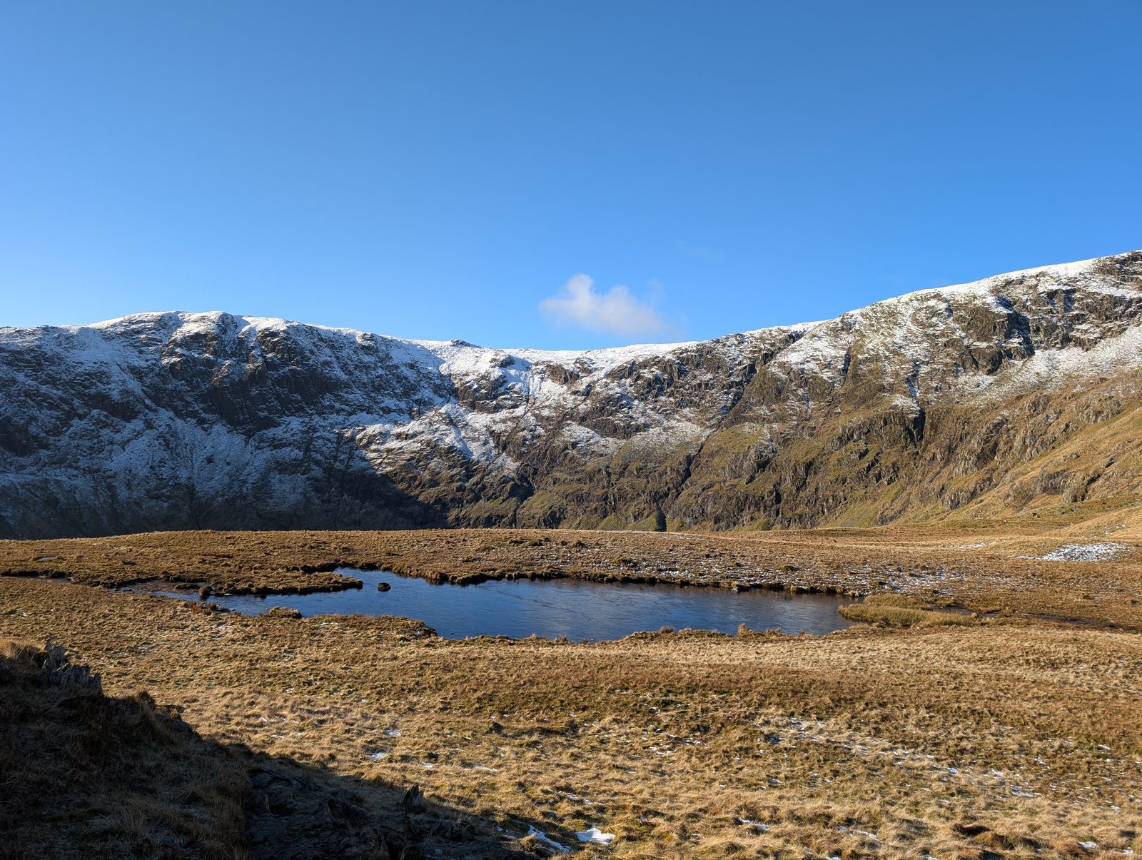 Rough Crag (Riggindale)628 mOur route over the top: Mardale circuit.
- Low Kop572 mOur route over the top: Birketts West of Haweswater.
- High Wether Howe531 mOur route over the top: West of Wet Sleddale - Birketts.
- Brown Howe (Mardale)529 mOur route over the top: Two Birketts from Mardale Head.
- Seat Robert515 mOur route over the top: West of Wet Sleddale - Birketts.
- Hare Shaw503 mOur route over the top: West of Wet Sleddale - Birketts.
- Nabs Moor493 mOur route over the top: West of Wet Sleddale - Birketts.
- Bampton Fell (Bampton Common)489 mOur route over the top: Bampton Fell.
- Glede Howe476 mOur route over the top: West of Wet Sleddale - Birketts.
- Gowk Hill471 mOur route over the top: Birketts West of Haweswater.
- Powleys Hill465 mOur route over the top: West of Wet Sleddale - Birketts.
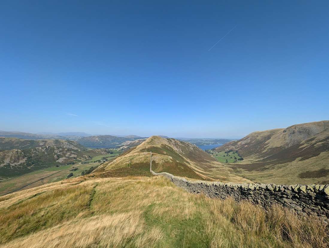 Brownthwaite Crag444 mOur routes over the top: Fusedale Circuit; Swarth Fell and Loadpot Hill.
- Naddle High Forest435 mOur route over the top: Birketts South of Burnbanks.
- Wallow Crag433 mOur route over the top: Birketts South of Burnbanks.
- Naddle Low Forest426 mOur route over the top: Birketts South of Burnbanks.
- Harper Hills420 mOur route over the top: West of Wet Sleddale - Birketts.
- Hugh's Laithes Pike419 mOur route over the top: Birketts South of Burnbanks.
- Four Stones Hill415 mOur route over the top: Pinnacle Howe and Four Stones Hill.
- Castle Crag (Mardale)395 mOur route over the top: Birketts West of Haweswater.
- Pinnacle Howe383 mOur route over the top: Pinnacle Howe and Four Stones Hill.
- Scalebarrow Knott338 mOur route over the top: West of Wet Sleddale - Birketts.
Near a route, not on one 5
- Howes583 mNo route of ours reaches the top. West of Wet Sleddale - Birketts: about 640 m from the top at 7.5 km, with the top about 90 m above the line. Ground between not assessed: we have not walked or checked a way from the route to the top.
- Fewling Stones509 mNo route of ours reaches the top. West of Wet Sleddale - Birketts: about 700 m from the top at 19.5 km, with the top about 60 m above the line. Ground between not assessed: we have not walked or checked a way from the route to the top.
- Great Ladstones440 mNo route of ours reaches the top. West of Wet Sleddale - Birketts: about 560 m from the top at 21.1 km, with the top about 10 m below the line. Ground between not assessed: we have not walked or checked a way from the route to the top.
- Langhowe Pike North Top (Langhowe Pike)401 mNo route of ours reaches the top. West of Wet Sleddale - Birketts: about 790 m from the top at 17.2 km, with the top about 150 m above the line. Ground between not assessed: we have not walked or checked a way from the route to the top.
- Naddle Farm Top (Naddle Horseshoe - 3)395 mNo route of ours reaches the top. Birketts South of Burnbanks: about 320 m from the top at 2.3 km, with the top about 20 m below the line. Ground between not assessed: we have not walked or checked a way from the route to the top.
Nothing matches those filters — .
Map
● fells within ~5 km
An interactive map of the walks and fells in this collection. Each marker links to its page; the same walks and fells are listed on this page.