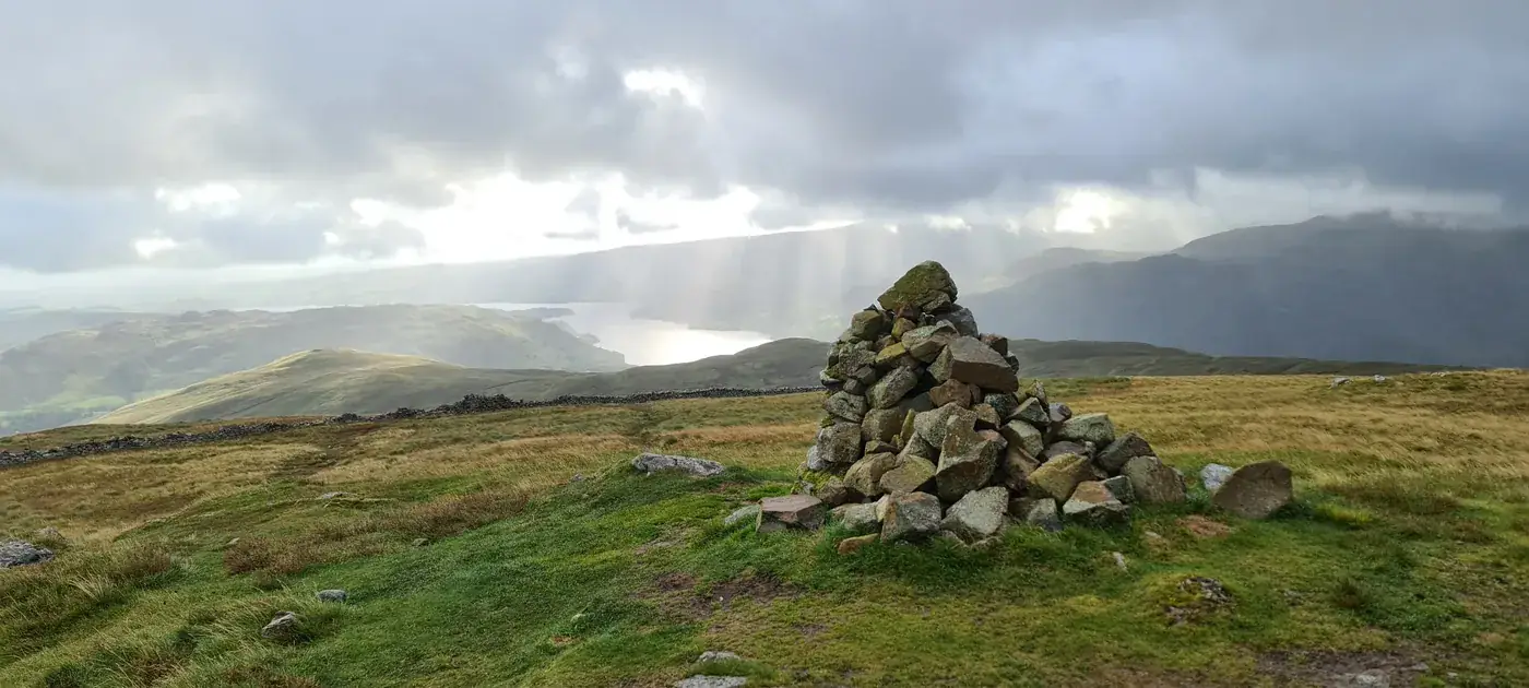
The Ullswater Birketts
The fells around Ullswater, from Gowbarrow and Watermillock Common to Birk Fell above the far shore and up onto the Helvellyn ridge, hold 20 tops that are not Wainwrights, all of them Birketts. 18 of them are on at least one of our routes, measured on the route’s own GPS line, and each card names the route; the other 2 come within a kilometre of one, and their cards say how close, from the same line.
The routes over these tops
- Birketts above Ullswater — Planned: a line we have drawn and not yet walked. 16.4 km, 766 m of ascent; takes in 7 of these tops: Randerside, Birkett Fell, High Brow, Brown Hills, Low How, Round How and Bracken How.
- Birketts by Gowbarrow — Walked in part by us; the rest is a planned line. 12 km, 591 m of ascent; takes in 4 of these tops: Green Hill - Gowbarrow Park, Great Meldrum, Watermillock Fell (Little Mell Fell South Top) and Little Meldrum.
- Birketts to the South of Ullswater — Planned: a line we have drawn and not yet walked. 11.5 km, 790 m of ascent; takes in 5 of these tops: The Knight, Birk Fell (Bleaberry Knott - Birk Fell), High Dodd, Sleet Fell and Low Birk Fell.
- Swineside Knott & Gowbarrow — Planned: a line we have drawn and not yet walked. 13.3 km, 657 m of ascent; takes in 3 of these tops: Swineside Knott, Common Fell and Brown Hills.
A top that is only near a route is not a way up: the ground between has not been assessed. Each route says above whether we have walked it; read its page before you go.
The count is of the list on this page. Regions are the areas the fells sit in on our fell list. How we check →
On one of our routes 18
- Randerside729 mOur route over the top: Birketts above Ullswater.
- Birkett Fell725 mOur routes over the top: Birketts above Ullswater; Hart Side, Stybarrow Dodd, Raise, Watson's Dodd and more.
- High Brow575 mOur route over the top: Birketts above Ullswater.
- Swineside Knott553 mOur route over the top: Swineside Knott & Gowbarrow.
- The Knight552 mOur routes over the top: Birketts to the South of Ullswater; Place Fell and The Knight.
- Common Fell552 mOur route over the top: Swineside Knott & Gowbarrow.
- Brown Hills551 mOur routes over the top: Birketts above Ullswater; Swineside Knott & Gowbarrow.
- Birk Fell (Bleaberry Knott)512 mOur route over the top: Birketts to the South of Ullswater.
- High Dodd501 mOur route over the top: Birketts to the South of Ullswater.
- Low How497 mOur route over the top: Birketts above Ullswater.
- Green Hill - Gowbarrow Park439 mOur route over the top: Birketts by Gowbarrow.
- Great Meldrum437 mOur route over the top: Birketts by Gowbarrow.
- Watermillock Fell (Little Mell Fell South Top)424 mOur route over the top: Birketts by Gowbarrow.
- Little Meldrum404 mOur route over the top: Birketts by Gowbarrow.
- Round How387 mOur route over the top: Birketts above Ullswater.
- Sleet Fell378 mOur route over the top: Birketts to the South of Ullswater.
- Low Birk Fell373 mOur route over the top: Birketts to the South of Ullswater.
- Bracken How373 mOur route over the top: Birketts above Ullswater.
Near a route, not on one 2
- Green Side (White Stones)794 mNo route of ours reaches the top. Birketts above Ullswater: about 200 m from the top at 10.1 km, with the top about 40 m above the line. Ground between not assessed: we have not walked or checked a way from the route to the top.
- Little Dodd (St John's Common)785 mNo route of ours reaches the top. Birketts above Ullswater: about 500 m from the top at 7.1 km, with the top about 60 m below the line. Ground between not assessed: we have not walked or checked a way from the route to the top.
Nothing matches those filters — .
Map
● fells within ~5 km
An interactive map of the walks and fells in this collection. Each marker links to its page; the same walks and fells are listed on this page.