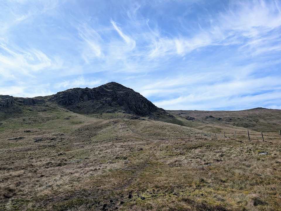
The Thirlmere Birketts
The fells around Thirlmere, from the high ground to its west between Wythburn and Watendlath to the knolls at its north end, out to High Rigg and Castle Rock above St John's in the Vale, hold 17 tops that are not Wainwrights, all of them Birketts. All of them are on at least one of our routes, measured on the route’s own GPS line, and each card names the route.
The routes over these tops
- Birketts West of Thirlmere — Planned: a line we have drawn and not yet walked. 23.1 km, 1241 m of ascent; takes in 9 of these tops: Coldbarrow Fell - High Saddle, Low Saddle, Standing Crag, Bell Crags (Long Moss) (Blea Tarn Fell), Watendlath Fell (Long Moss), Wythburn Fell, Shivery Knott, Middle Crag and Fisher Crag.
- Birketts North of Thirlmere — Planned: a line we have drawn and not yet walked. 13.9 km, 972 m of ascent; takes in 6 of these tops: The Benn (Sippling Crag), Castle Crag (Shoulthwaite), High Rigg (High Rigg South Top), Castle Rock, Great How (Thirlmere) and Wren Crag.
- Standing Crag, High Tove, Armboth — Planned: a line we have drawn and not yet walked. 14.3 km, 601 m of ascent; takes in 4 of these tops: Standing Crag, Shivery Knott, Middle Crag and Armboth Fell (Birkett).
- Brown Rigg & Blea Tarn — Planned: a line we have drawn and not yet walked. 13.5 km, 509 m of ascent; takes in 3 of these tops: Shivery Knott, Middle Crag and Brown Rigg.
A top that is only near a route is not a way up: the ground between has not been assessed. None of these routes is walked by us yet; they are planned lines, drawn on the map and checked against the terrain model, so read each route page before you go.
The count is of the list on this page. Regions are the areas the fells sit in on our fell list. How we check →
- Coldbarrow Fell - High Saddle675 mOur route over the top: Birketts West of Thirlmere.
- Low Saddle656 mOur route over the top: Birketts West of Thirlmere.
- Standing Crag611 mOur routes over the top: Birketts West of Thirlmere; Standing Crag, High Tove, Armboth.
- Bell Crags (Long Moss) (Blea Tarn Fell)559 mOur route over the top: Birketts West of Thirlmere.
- Watendlath Fell (Long Moss)515 mOur route over the top: Birketts West of Thirlmere.
- Wythburn Fell508 mOur route over the top: Birketts West of Thirlmere.
- Shivery Knott491 mOur routes over the top: Birketts West of Thirlmere; Brown Rigg & Blea Tarn; Standing Crag, High Tove, Armboth.
- Middle Crag484 mOur routes over the top: Birketts West of Thirlmere; Brown Rigg & Blea Tarn; Standing Crag, High Tove, Armboth.
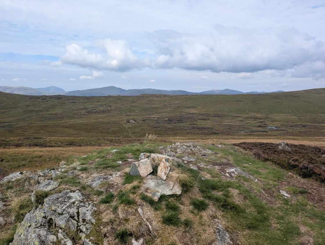 Armboth Fell (Birkett)479 mOur routes over the top: Standing Crag, High Tove, Armboth; Walla Crag, Bleaberry Fell, High Seat, High Tove and Armboth Fell.
- Brown Rigg462 mOur route over the top: Brown Rigg & Blea Tarn.
- The Benn (Sippling Crag)446 mOur route over the top: Birketts North of Thirlmere.
- Fisher Crag421 mOur route over the top: Birketts West of Thirlmere.
- Castle Crag (Shoulthwaite)404 mOur route over the top: Birketts North of Thirlmere.
- High Rigg (High Rigg South Top)343 mOur route over the top: Birketts North of Thirlmere.
- Castle Rock339 mOur route over the top: Birketts North of Thirlmere.
- Great How (Thirlmere)333 mOur route over the top: Birketts North of Thirlmere.
- Wren Crag311 mOur route over the top: Birketts North of Thirlmere.
Nothing matches those filters — .
Map
● fells within ~5 km
An interactive map of the walks and fells in this collection. Each marker links to its page; the same walks and fells are listed on this page.