Common Fell
Common Fell (552 m / 1,811 ft) is a Birkett (one of the 541 tops in Bill Birkett's Complete Lakeland Fells), in the Eastern Fells. It also features on the Synge list.
Summit conditions on Common Fell
On the summit on Tuesday 27 October: 12° to 6°C, gusts to 49 mph, 20.3 mm of rain forecast over the whole day, midnight to midnight.
The forecast figures are Open-Meteo’s, worked out for the summit’s height. How we check →
Routes up Common Fell
Hand-mapped, with GPX to download — full maps further down.
A satisfying loop over the heather tops of Gowbarrow above Ullswater, starting from the Aira Force car park and climbing quickly away from the waterfall onto rolling moorland.
Distance and climb are measured from the route’s GPX track, and the time from them by Naismith’s rule; the route page says what each grade rests on. How we check →
How hard is Common Fell?
The shortest way up we hold is Swineside Knott & Gowbarrow — 13.27 km, 657 m of ascent, ~3¾–5 h. On our scale its hardest axis is steepness — Hard.
All axes: steepness: Hard · length: Moderate · navigation: Moderate · terrain: Not assessed · exposure: Not assessed.
These are the route page’s grades, set by the rules on how we grade: length and steepness measured from its GPX track, the others set on the ground, judged from the map or estimated from OpenStreetMap. The route page says which. How we check →
Conditions and 7-day summit forecast
Modelled for the 552 m summit (Open-Meteo). Check the Met Office mountain forecast and MWIS before you set off.
Full 7-day forecast
Taken 27 October 2026, 20:59 UTC; the live forecast replaces it when it loads. Weather data by Open-Meteo.com (opens in new tab)
Parking & buses for Common Fell
Parking
Route starts first, then the car parks nearest the summit, which are not always a way up.
3 more places to park near Common Fell
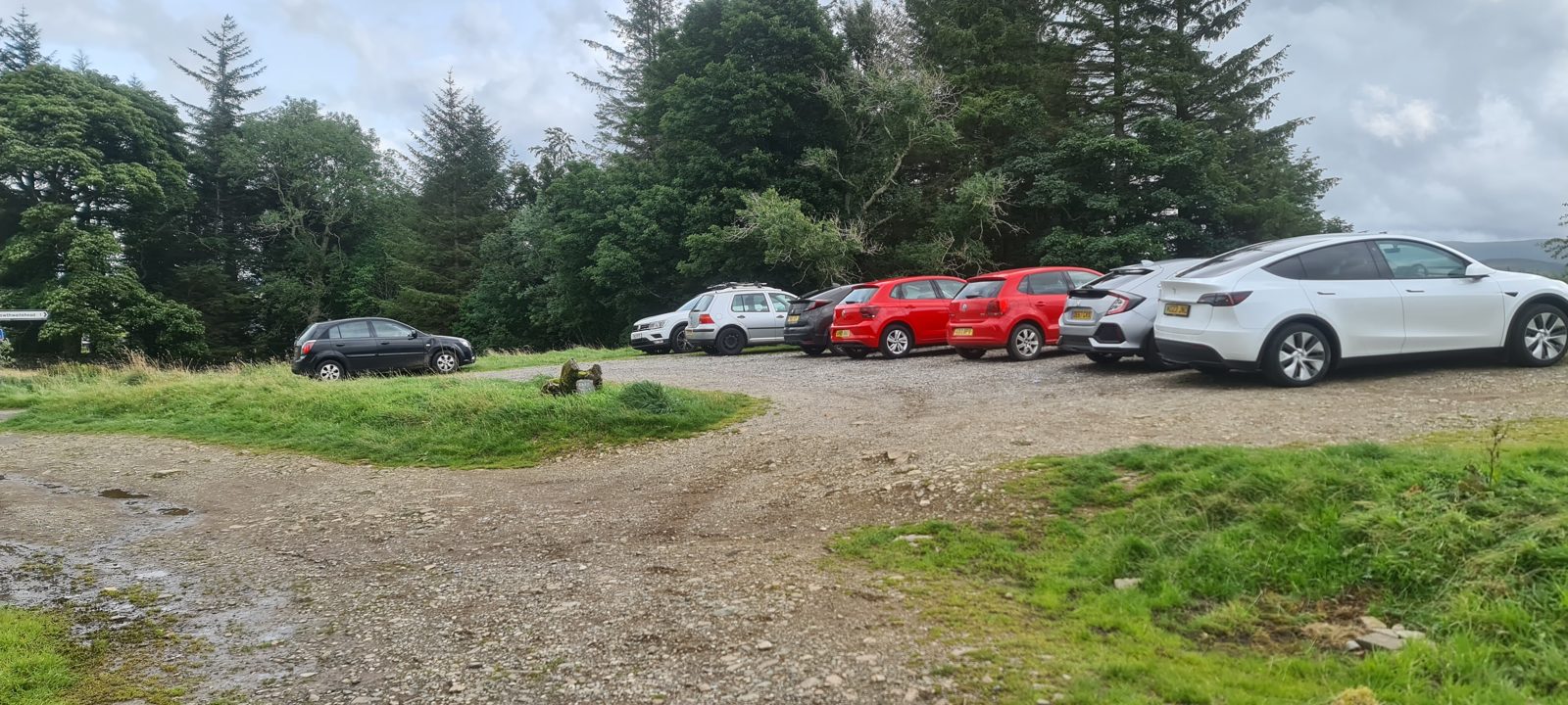
Positions are approximate.
Vehicles are left at their owner’s risk: we list places people park and cannot vouch for any of them. Take valuables with you and leave nothing on show.
Buses
The 508, 509, UB1 and UB2 stop at Matterdale, opposite Aira Force, a 170 m walk from the start of Swineside Knott & Gowbarrow — a route we rate Hard overall (hardest: steepness). The UB1 and UB2 run until 1 November 2026, the last day of their season. The last bus is 18:02 towards Penrith (508) and 17:15 towards Martindale (UB1) and 15:15 towards Lowther (UB2), every day. Checked against the operator’s timetable, 7 September 2026; that timetable runs to 1 November 2026. Times here are a guide, not a promise — leave yourself more than the minute.
Rural routes change seasonally — confirm on stagecoachbus.com (opens in new tab) or Traveline before relying on a last bus.
Getting there across the Lake District: Buses · Parking map · By train · By boat
Hazards on Common Fell
Notes from a planned route, not walked: Swineside Knott & Gowbarrow
- Aira Force plunges some 65 ft through a steep, narrow gorge with sheer sides, slippery rock and stone steps, and few natural viewing points or barriers. It's a busy honeypot — keep children and dogs close, stay behind railings and back from wet edges, and don't clamber for a better view of the falls.
If you need to get off (the leg from Swineside Knott): No escape from this stage has been checked for this guide; the route's own line goes on north-east to Dockray. Do not drop east down the pathless, bracken-choked slopes directly toward the lake.
Quoted from the route page of a planned route, drawn from the map and not yet walked: its warnings and the note for the leg that reaches Common Fell.
We have not written a hazard card for this fell yet, and that is not a sign that it is low-hazard. Read the warnings on the route pages that climb it, check the forecast, carry a map and compass, and turn back in cloud if the ground is not what you expected. The National Park Authority’s What to pack page, AdventureSmart’s hill walking kit list and Mountain Rescue England and Wales’s safety page are linked from our what to carry guide.
If you need Mountain Rescue
Dial 999 or 112 and ask for the Police, then Mountain Rescue.
Before you call, have ready: where you are (a grid reference if you can – the OS Locate app shows yours on your phone), what has happened, how many of you there are, and your mobile number.
Then stay where you are until the rescue team contacts you.
If you cannot make a voice call because of a hearing or speech impairment, emergency SMS works only if you have registered first: text “register” to 999.
From Mountain Rescue England and Wales’s guidance on calling them out (opens in new tab) (read 26 October 2026).
Map, GPX and nearby Birketts
Skip mapFree mapping: OpenTopoMap / OpenStreetMap, with SRTM elevation data (switch layers top-right).
Parking, toilets and buses: Parking & buses ↑.
Birketts within 3 km of Common Fell
These Birkett tops are not Wainwright summits. Distances are straight lines: check the ground and access on a map before adding one.
Routes over Common Fell
Download GPX Planned route · not yet walked
Every line here is a guide, not a guarantee — conditions change. Navigate for yourself and carry a map and compass. How to use this guide.
On the hill: terrain and water on Common Fell
Water & shelter on the way up
On the Swineside Knott & Gowbarrow route:
Treat water from the fell before you drink it. A mapped point is not proof the water is drinkable, so carry your own or use a supply you know is safe. Never drink untreated from a beck, stream or tarn — even clear-looking hill water can carry giardia or cryptosporidium from livestock upstream and leave you seriously ill. Use a treatment method suited to what might be in the water, and follow the device’s own instructions. Boiling and ordinary filters do not make water with dissolved metals or chemicals safe: where that is possible, choose another source.
On-route facilities © OpenStreetMap contributors, per route — an absent marker doesn’t mean none.
About Common Fell
Classifications & hill data
Is Common Fell a Wainwright?
Common Fell is not a Wainwright. It is on the Birkett list and the Synge list.
Selected lists
This is the summit’s grid reference. If you call from anywhere else, give your own position, not this one.
Lists, height and summit position from the Database of British and Irish Hills; the feet are converted from its metres and the grid reference from that position. How we check →
Places to stay near this fell
- Lowthwaite Bed and Breakfast (opens in new tab) guest houseabout 3.9 km
- Low Gale (opens in new tab) self-cateringabout 4.4 km
We have not stayed at any of them. We take no bookings or affiliate fees. Distances are straight lines from each route start, never walking times. Properties found via OpenStreetMap (opens in new tab).