Fells to save for a bad day
Low fells that stay below the cloud — the ones to save for a day when the high tops are wild. None tops 400 m, so you keep your views when the big fells are clagged in, and the walking is gentle. Lower-risk in poor weather, not risk-free: hill weather is serious anywhere, so carry a map and compass, know how to use them, and check the forecast. The badges are honest about what you're getting — some are often boggy underfoot, and we show how far each is from a village and whether there's a bus. Check the live conditions before you set off.
0 of these are rated good to climb on 12 September — see live conditions →
A prediction from our daily fell score (clear summits, wind, rain, visibility), not a guarantee — always check the mountain forecast before you go.
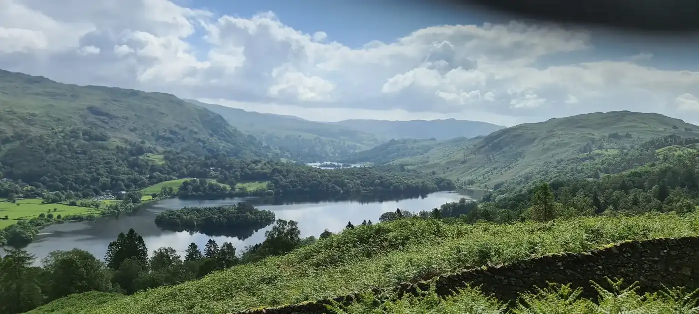
- Summit likely clagged inSilver How394 mSave it · 21🚌 BusOften boggy1.6 km from GrasmereSilver How at 395m (1,296ft) is a delightful, rocky little summit above Grasmere and Chapel Stile, its summit giving one of the finest views of Grasmere and the surrounding fells from any low-level viewpoint in the district.
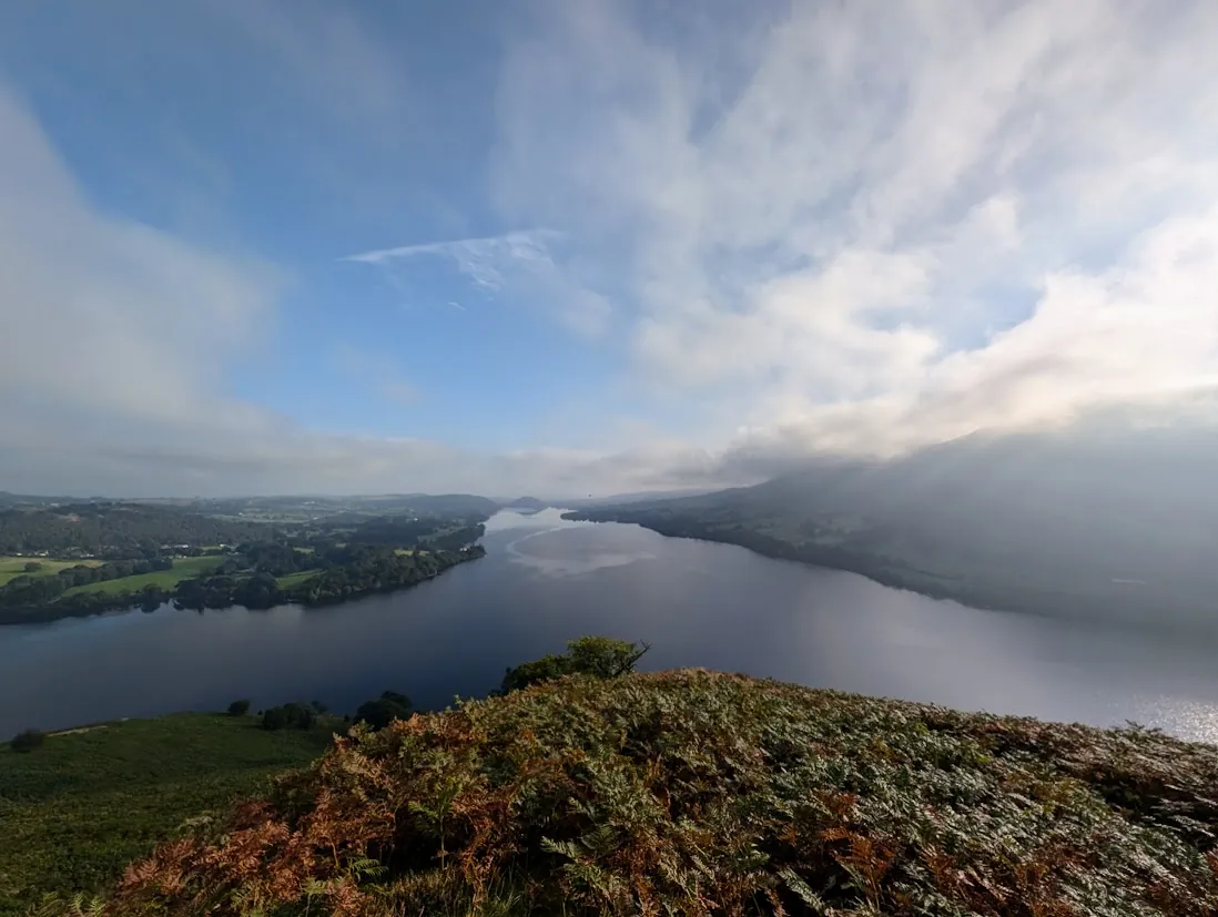 Summit likely clagged inHallin Fell388 mMarginal · 37🚌 BusOften boggy4.9 km from PatterdaleHallin Fell at 388m (1,273ft) is one of Lakeland's most perfectly formed little summits — a grassy cone projecting into Ullswater above Howtown, its summit giving the finest aerial view of the lake's two bends in all of Lakeland.
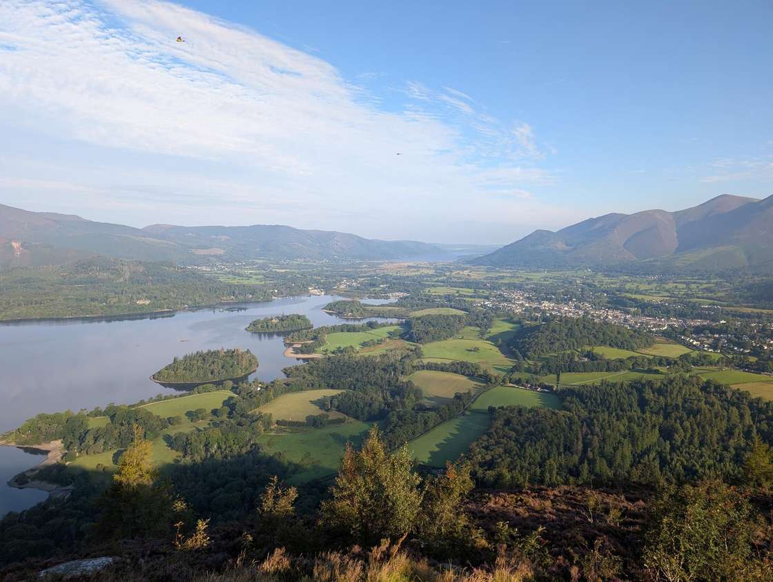 Summit likely clagged inWalla Crag379 mSave it · 31🚌 BusOften boggy2.4 km from KeswickWalla Crag at 379m (1,244ft) is the great rocky escarpment above Derwent Water, its summit giving one of the finest aerial views of the lake in the whole district.
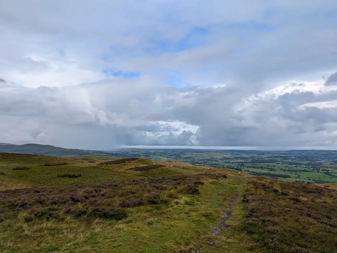 Too windy for the topsLing Fell374 mSave it · 20🚌 BusOften boggy7.1 km from BraithwaiteLing Fell at 374m (1,227ft) is a small, heathery summit above Wythop Mill near Bassenthwaite Lake, its modest top giving pleasant views across the lake and north to the Solway.
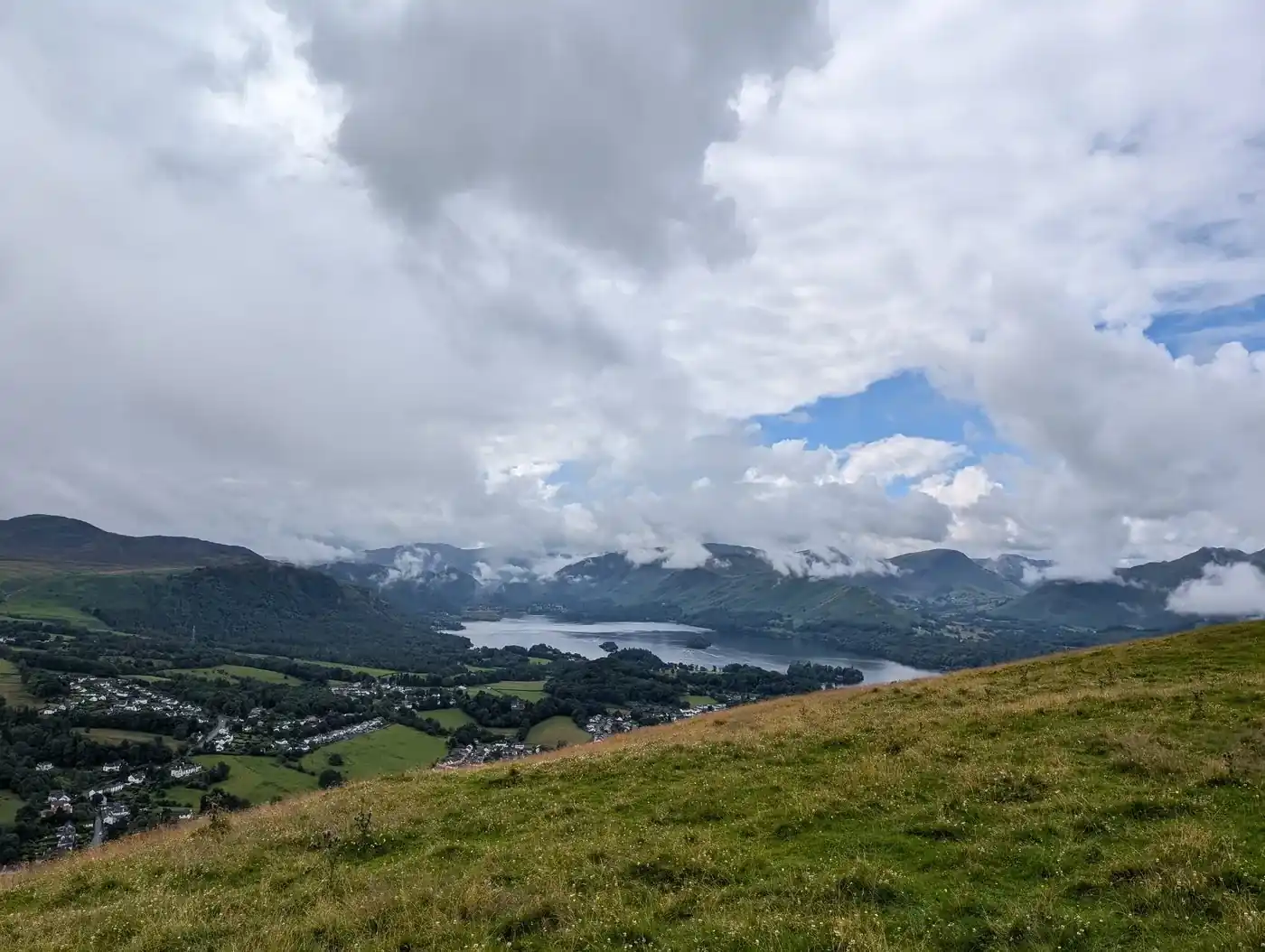 Summit likely clagged inLatrigg369 mSave it · 34🚌 BusOften boggy1.6 km from KeswickLatrigg at 368m (1,207ft) is the little fell above Keswick, its summit giving one of the finest and most accessible viewpoints of Derwent Water and the surrounding fells in the whole Lake District.
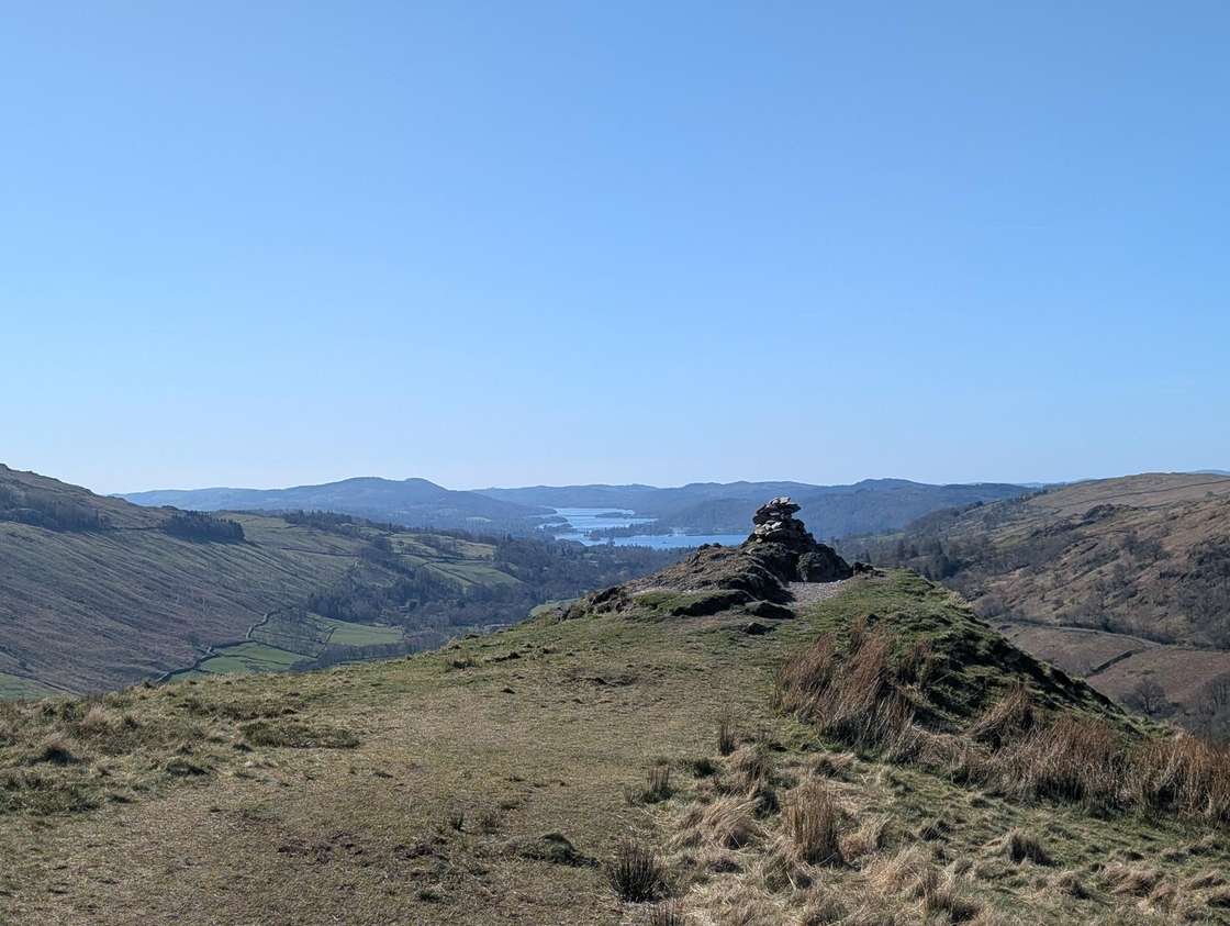 Summit likely clagged inTroutbeck Tongue364 mSave it · 22🚌 BusOften boggy5 km from TroutbeckTroutbeck Tongue at 364m (1,194ft) is a long, narrow ridge jutting into the Troutbeck valley, its summit giving fine views of the valley and the Ill Bell ridge above.
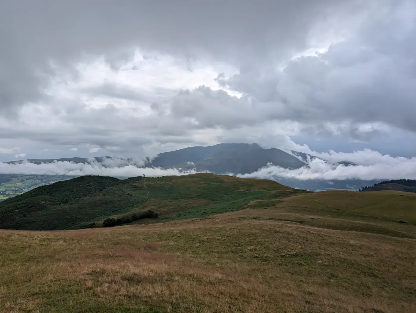 Summit likely clagged inSale Fell359 mSave it · 30🚌 BusOften boggy7 km from BraithwaiteSale Fell at 359m (1,178ft) is a pleasant little summit above Bassenthwaite Lake, its low summit giving fine views of the lake and across to Skiddaw above.
- Summit likely clagged inHigh Rigg (Naddle Fell)356 mSave it · 28🚌 BusOften boggy3.5 km from ThrelkeldHigh Rigg at 357m (1,171ft) is a delightful, craggy ridge above St John's in the Vale — one of the most pleasant low-level walks in the Eastern Fells, its heathery knolls giving fine views of Blencathra, Helvellyn and the Vale of St John from multiple viewpoints.
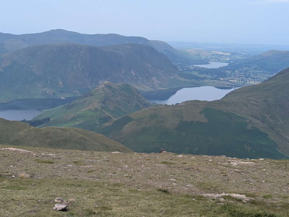 Too windy for the topsRannerdale Knotts355 mSave it · 20🚌 Bus8.5 km from BraithwaiteRannerdale Knotts at 355m (1,165ft) is a small, delightful ridge of rocky knolls above Crummock Water, giving some of the finest views of the lake from any fell in the North Western Fells.
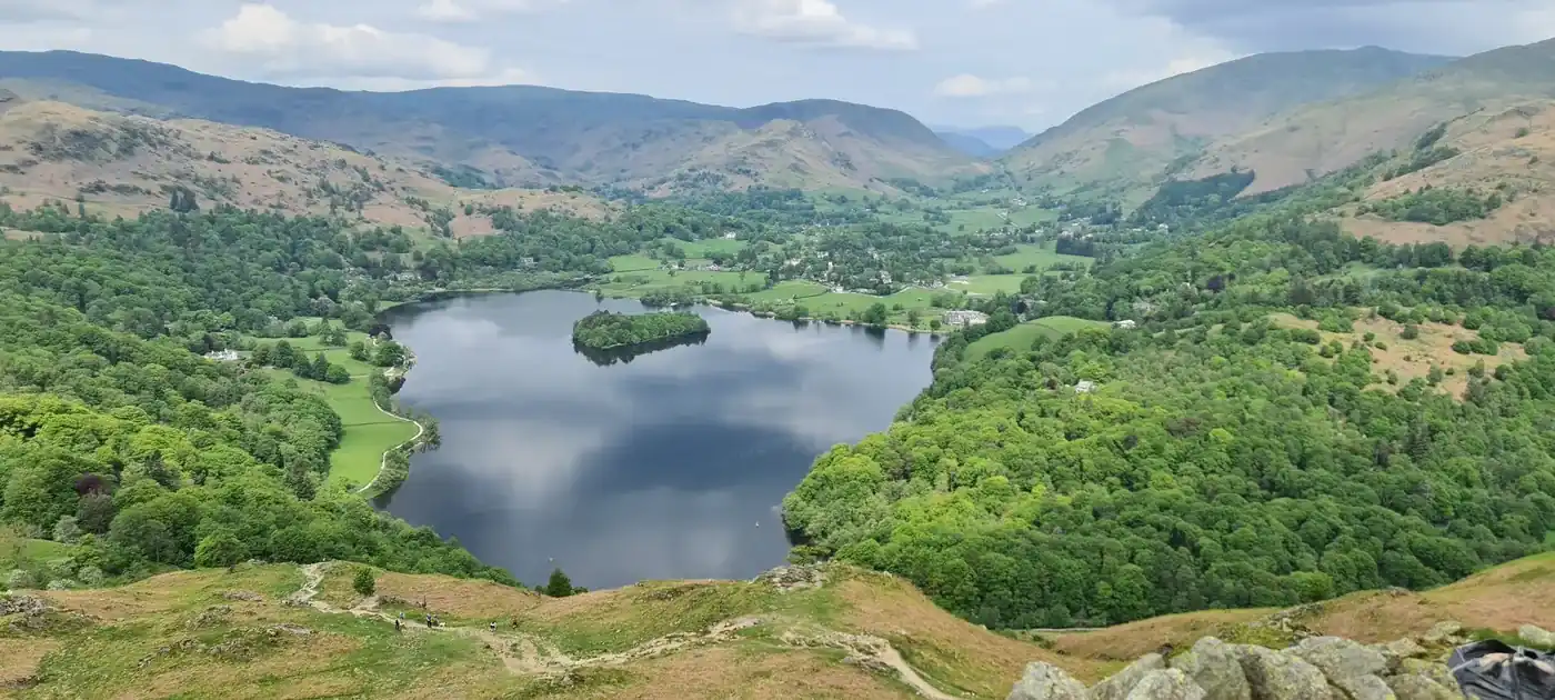 Summit likely clagged inLoughrigg Fell335 mSave it · 28🚌 BusOften boggy2.3 km from ElterwaterLoughrigg Fell at 335m (1,099ft) is one of the most beloved and visited fells in the Lake District, a complex heathery mass rising between Ambleside, Grasmere and Elterwater.
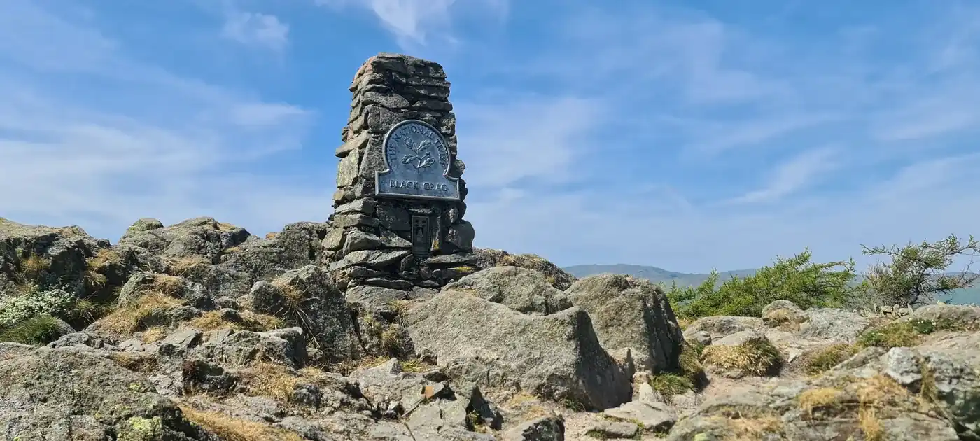 Firm underfootBlack Fell323 mMarginal · 35🚌 Bus3 km from ElterwaterBlack Fell at 323m (1,060ft) is a small, heathery summit above Tarn Hows, its top giving fine views of this most popular of Lakeland beauty spots.
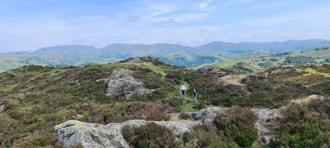 Summit likely clagged inHolme Fell316 mSave it · 33🚌 Bus3.3 km from ConistonHolme Fell at 317m (1,040ft) is a delightful, craggy little summit above Yewdale near Coniston, its rocky outcrops of Uskdale Gap and Ivy Crag providing surprisingly varied and interesting walking for such a modest height.
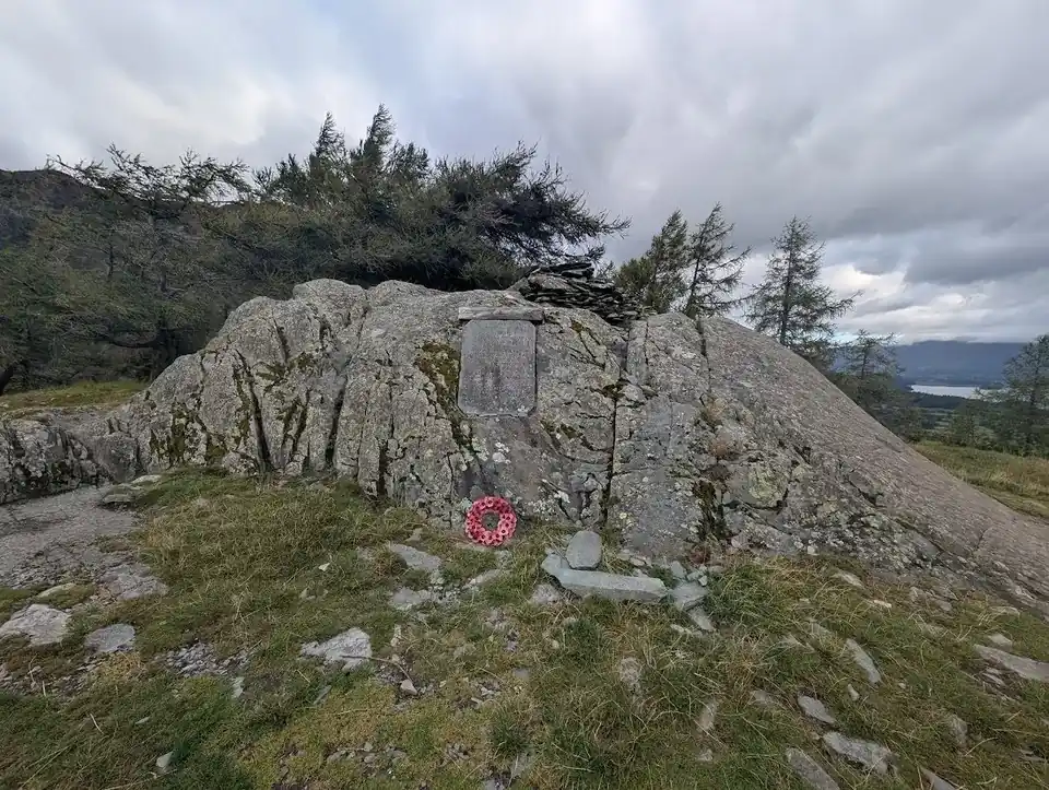 Summit likely clagged inCastle Crag290 mMarginal · 35🚌 Bus1.4 km from RosthwaiteCastle Crag at 290m (951ft) is the lowest of all the Wainwright fells, yet one of the most dramatic — a rocky prow standing sentinel in the narrowest part of the Borrowdale gorge between Grange and Rosthwaite.
Nothing matches those filters — .
Map
● fells within ~5 km
An interactive map of the route start points and the fells within about 5 km. Each marker links to its page; the same routes and fells are listed below.
Common questions
Are these safe in bad weather?
Safer than the high tops, not ‘safe’. They stay low, so you're below the cloud and away from the big drops — but Lakeland weather is serious anywhere, and cold, wind and poor visibility still catch people out on low fells. Carry a map and compass, know how to use them, and check the mountain forecast before you go.
Why include the boggy ones?
Because they're still good low options when the tops are off — just expect wet feet. We flag which are often boggy, and how far each is from a village or whether there's a bus, so you can pick one to suit the day.