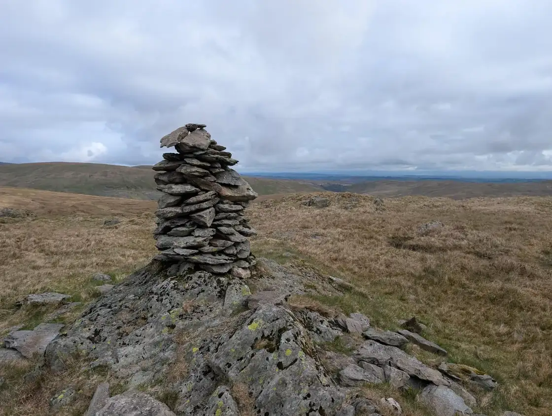
The Shap Fells Birketts
The Shap fells, from Longsleddale east to the A6, around the heads of Bannisdale, Borrowdale and Crookdale and north to Wet Sleddale, hold 21 tops that are not Wainwrights, 20 of them Birketts. All of them are on at least one of our routes, measured on the route’s own GPS line, and each card names the route.
The routes over these tops
- Crookdale Birketts — Planned: a line we have drawn and not yet walked. 20.9 km, 666 m of ascent; takes in 9 of these tops: Harrop Pike, Great Yarlside, Wasdale Pike, Great Saddle Crag, Lord's Seat (Crookdale) (Lord's Seat - High House Fell), Little Yarlside, Sleddale Pike, Robin Hood and Whatshaw Common.
- Bannisdale Fell - Long Crag — Planned: a line we have drawn and not yet walked. 21.6 km, 809 m of ascent; takes in 9 of these tops: Harrop Pike, Great Yarlside, Ancrow Brow North Top, White Howe (Bannisdale), The Forest (Borrowdale Head), Little Yarlside, Bannisdale Fell - Long Crag, Whatshaw Common and Lamb Pasture.
- Borrowdale Birketts — Planned: a line we have drawn and not yet walked. 21.2 km, 857 m of ascent; takes in 7 of these tops: Ancrow Brow North Top, White Howe (Bannisdale), The Forest (Borrowdale Head), Lord's Seat (Crookdale) (Lord's Seat - High House Fell), High House Bank, Robin Hood and Lamb Pasture.
- Harrop Pike & Ancrow Brow - Birketts — Planned: a line we have drawn and not yet walked. 20 km, 660 m of ascent; takes in 7 of these tops: Harrop Pike, Swinklebank Crag (Ancrow Brow), Ancrow Brow North Top, Capplebarrow, Great Howe (Longsleddale), Todd Fell and Whiteside Pike.
A top that is only near a route is not a way up: the ground between has not been assessed. None of these routes is walked by us yet; they are planned lines, drawn on the map and checked against the terrain model, so read each route page before you go.
The count is of the list on this page. Regions are the areas the fells sit in on our fell list. How we check →
- Harrop Pike637 mOur routes over the top: Bannisdale Fell - Long Crag; Crookdale Birketts; Harrop Pike & Ancrow Brow - Birketts.
- Great Yarlside591 mOur routes over the top: Bannisdale Fell - Long Crag; Crookdale Birketts.
- Wasdale Pike565 mOur route over the top: Crookdale Birketts.
- Great Saddle Crag560 mOur route over the top: Crookdale Birketts.
- Swinklebank Crag (Ancrow Brow)554 mOur route over the top: Harrop Pike & Ancrow Brow - Birketts.
- Ancrow Brow North Top540 mOur routes over the top: Bannisdale Fell - Long Crag; Borrowdale Birketts; Harrop Pike & Ancrow Brow - Birketts.
- White Howe (Bannisdale)530 mOur routes over the top: Bannisdale Fell - Long Crag; Borrowdale Birketts.
- The Forest (Borrowdale Head)528 mOur routes over the top: Bannisdale Fell - Long Crag; Borrowdale Birketts.
- Lord's Seat (Crookdale) (High House Fell)524 mOur routes over the top: Borrowdale Birketts; Crookdale Birketts.
- Little Yarlside518 mOur routes over the top: Bannisdale Fell - Long Crag; Crookdale Birketts.
- Capplebarrow513 mOur route over the top: Harrop Pike & Ancrow Brow - Birketts.
- Sleddale Pike506 mOur route over the top: Crookdale Birketts.
- High House Bank495 mOur route over the top: Borrowdale Birketts.
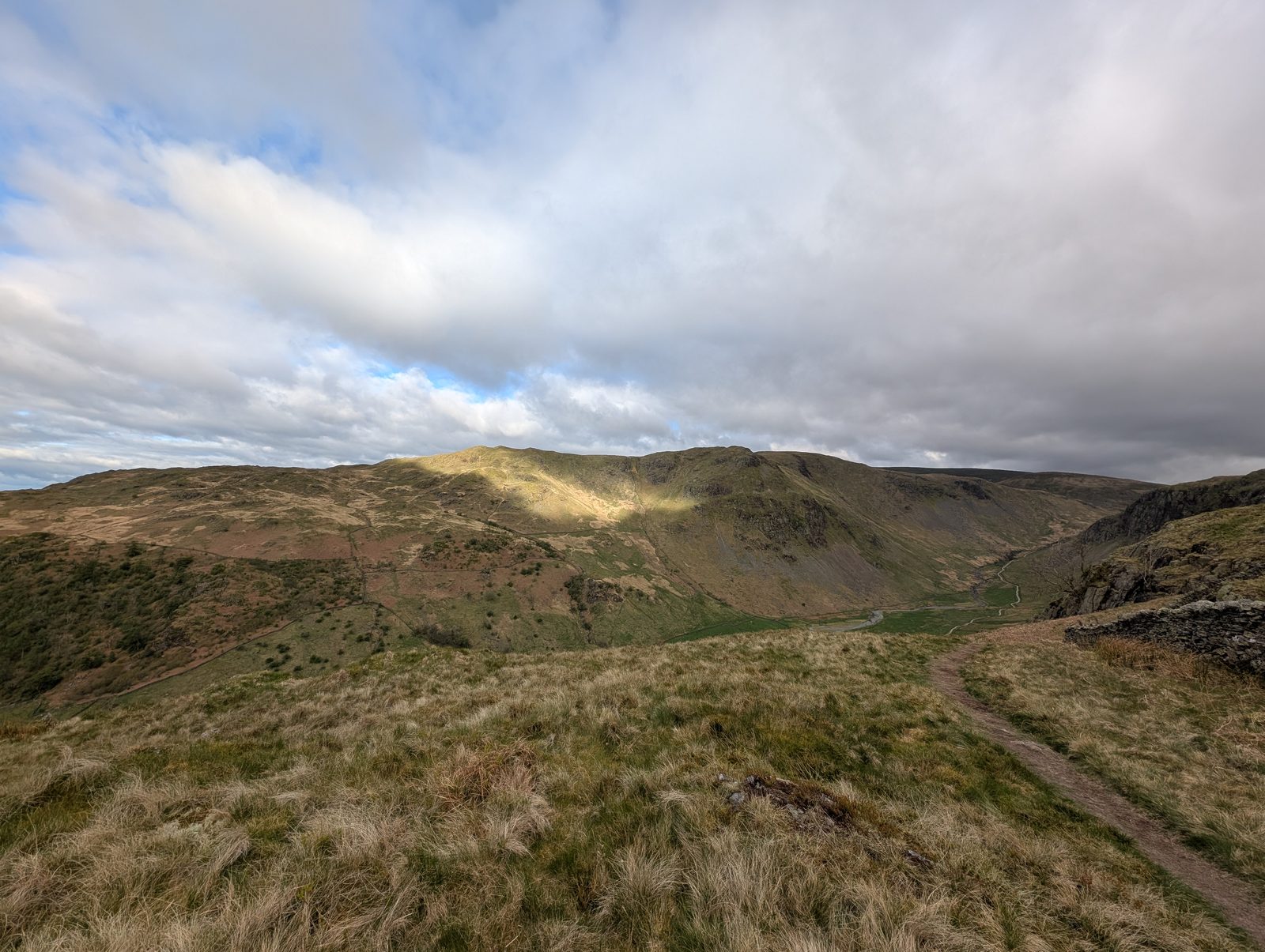 Great Howe (Longsleddale)494 mOur routes over the top: Harrop Pike & Ancrow Brow - Birketts; Longsleddale Round (Kentmere Pike, Tarn Crag, Grey Crag & Shipman Knotts).
- Bannisdale Fell - Long Crag493 mOur route over the top: Bannisdale Fell - Long Crag.
- Robin Hood492 mOur routes over the top: Borrowdale Birketts; Crookdale Birketts.
- Whatshaw Common490 mOur routes over the top: Bannisdale Fell - Long Crag; Crookdale Birketts.
- Todd Fell401 mOur route over the top: Harrop Pike & Ancrow Brow - Birketts.
- Whiteside Pike397 mOur route over the top: Harrop Pike & Ancrow Brow - Birketts.
- Lamb Pasture367 mOur routes over the top: Bannisdale Fell - Long Crag; Borrowdale Birketts.
- Cocklaw Fell365 mOur route over the top: Birketts by Kentmere Horseshoe.
Nothing matches those filters — .
Map
● fells within ~5 km
An interactive map of the walks and fells in this collection. Each marker links to its page; the same walks and fells are listed on this page.