
The Coledale Birketts
The fells around Coledale, from Braithwaite and Whinlatter Forest over Grisedale Pike and Grasmoor to Crummock Water, Newlands Hause and High Snockrigg above Buttermere, hold 18 tops that are not Wainwrights, all of them Birketts. All of them are on at least one of our routes, measured on the route’s own GPS line, and each card names the route.
The routes over these tops
- Birketts around Grisedale Pike — Planned: a line we have drawn and not yet walked. 11.7 km, 750 m of ascent; takes in 5 of these tops: Sand Hill, Hobcarton Crag (Hobcarton Head), Ladyside Pike, Hobcarton End and Swinside.
- Coledale Round — Walked by us. 15.6 km, 1240 m of ascent; takes in 4 of these tops: Sand Hill, Hobcarton Crag (Hobcarton Head), Stile End and Kinn.
- The Grasmoor round: Whiteside, Hopegill Head and Whiteless Pike — Walked by us. 16.2 km, 1161 m of ascent; takes in 4 of these tops: Sand Hill, Thirdgill Head Man, Whiteside East Top (Whiteside) (Gasgale Crags) and Gasgale Crags.
- High Snockrigg, Eel Crag & Lad Hows — Planned: a line we have drawn and not yet walked. 15.7 km, 1446 m of ascent; takes in 4 of these tops: Eel Crag (Birkett), Thirdgill Head Man, High Snockrigg and Lad Hows.
- Newlands Hause to the Coledale Tops — Planned: a line we have drawn and not yet walked. 11.4 km, 1107 m of ascent; takes in 3 of these tops: Eel Crag (Birkett), Thirdgill Head Man and Ill Crag (Newlands) (Knott Rigg North Top).
- Whinlatter Forest: Tarbarrel Moss, Ullister Hill & Seat How — Planned: a line we have drawn and not yet walked. 7.3 km, 261 m of ascent; takes in 3 of these tops: Ullister Hill, Seat How (Thornthwaite) and Tarbarrel Moss.
A top that is only near a route is not a way up: the ground between has not been assessed. Each route says above whether we have walked it; read its page before you go.
The count is of the list on this page. How we check →
Counts and lists on this page as of the last build, .
- Eel Crag (Birkett)807 mOur routes over the top: High Snockrigg, Eel Crag & Lad Hows; Newlands Hause to the Coledale Tops.

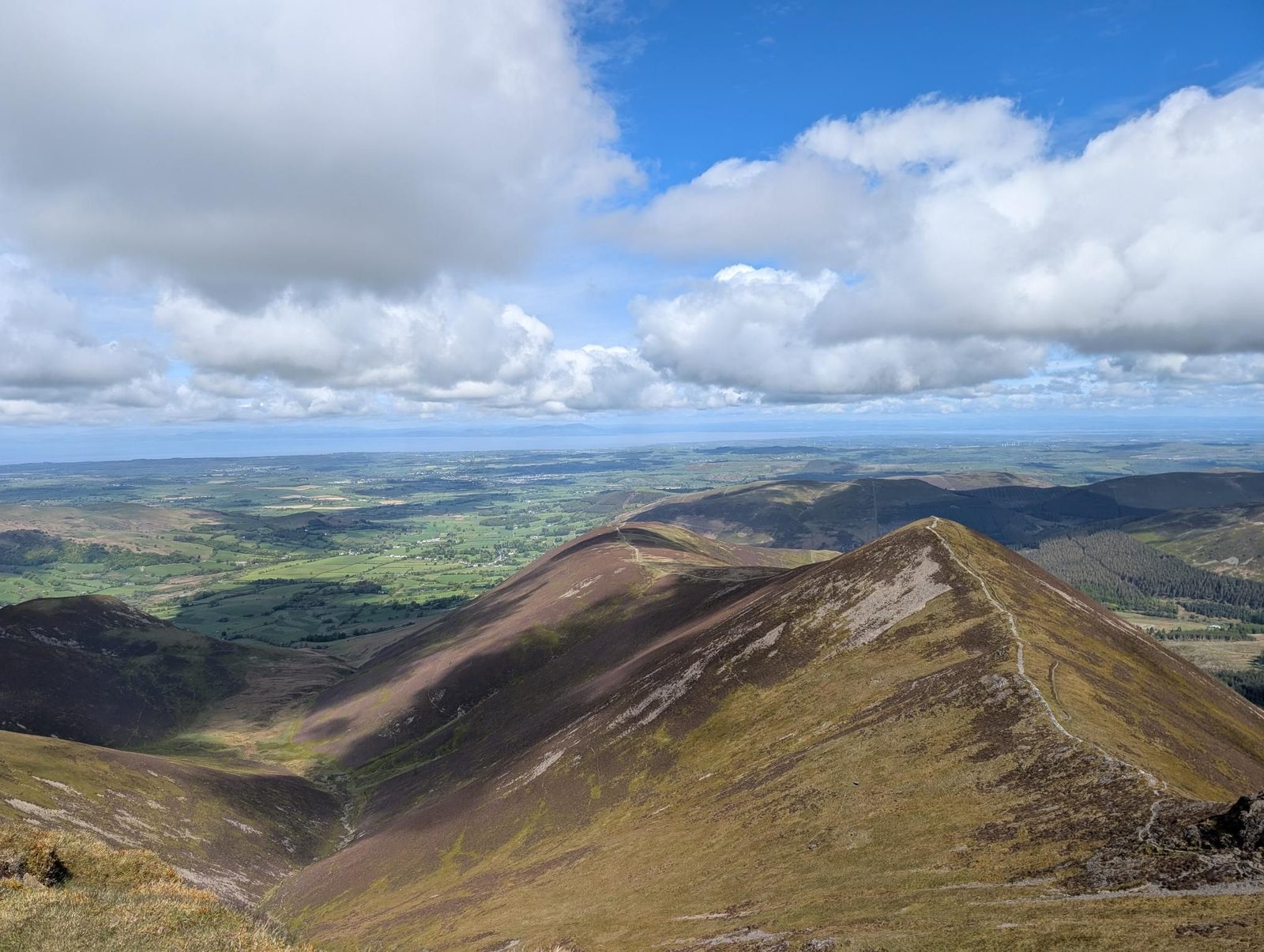


- Ladyside Pike704 mOur route over the top: Birketts around Grisedale Pike.

- Hobcarton End634 mOur route over the top: Birketts around Grisedale Pike.
- Ill Crag (Newlands) (Knott Rigg North Top)546 mOur routes over the top: Newlands Hause to the Coledale Tops; Ard Crags & Knott Rigg; Honister to Keswick: over the Newlands fells; Knott Rigg & Ard Crags Out-and-Back from Newlands Pass.
- High Snockrigg526 mOur routes over the top: High Snockrigg, Eel Crag & Lad Hows; High Snockrigg from Buttermere.
- Whinlatter Top525 mOur route over the top: Whinlatter Loop.
- Ullister Hill525 mOur route over the top: Whinlatter Forest: Tarbarrel Moss, Ullister Hill & Seat How.
- Swinside509 mOur route over the top: Birketts around Grisedale Pike.
- Seat How (Thornthwaite)495 mOur route over the top: Whinlatter Forest: Tarbarrel Moss, Ullister Hill & Seat How.
- Tarbarrel Moss493 mOur route over the top: Whinlatter Forest: Tarbarrel Moss, Ullister Hill & Seat How.
- Stile End447 mOur routes over the top: Coledale Round; Stile End, Outerside, Causey Pike, Rowling End.
- Lad Hows426 mOur route over the top: High Snockrigg, Eel Crag & Lad Hows.


Nothing matches those filters — .
Map
● fells within ~5 km
An interactive map of the walks and fells in this collection. Each marker links to its page; the same walks and fells are listed on this page.