
The Back o' Skiddaw Birketts
Skiddaw's own tops and the fells behind it, from Bassenthwaite and the Uldale fells round by Great Calva to Carrock Fell and the Caldbeck fells, hold 21 tops that are not Wainwrights, all of them Birketts. 19 of them are on at least one of our routes, measured on the route’s own GPS line, and each card names the route; the other 2 come within a kilometre of one, and their cards say how close, from the same line.
The routes over these tops
- Birketts North of Skiddaw — Planned: a line we have drawn and not yet walked. 23 km, 1472 m of ascent; takes in 6 of these tops: Skiddaw Middle Top, Skiddaw South Top, Sale How, Little Calva, Frozen Fell and Hare Crag.
- Cockup at the White Hause and other Birketts — Planned: a line we have drawn and not yet walked. 23.9 km, 1316 m of ascent; takes in 5 of these tops: Little Calva, Burn Tod, Cockup, Little Cockup and Watches.
- North of Skiddaw — Walked by us. 13.2 km, 727 m of ascent; takes in 2 of these tops: Little Sca Fell and Lowthwaite Fell.
- Birketts by Carrock Fell — Walked in part by us; the rest is a planned line. 15.3 km, 699 m of ascent; takes in 6 of these tops: Coomb Height, Hare Stones, Great Lingy Hill, Miller Moss (Little Lingy Hill), Miton Hill and Round Knott.
- Carrock Fell High Pike, Knott and Great Calva — Walked by us. 21 km, 877 m of ascent; takes in 5 of these tops: Hare Stones, Great Lingy Hill, Miller Moss (Little Lingy Hill), Miton Hill and Round Knott.
A top that is only near a route is not a way up: the ground between has not been assessed. Each route says above whether we have walked it; read its page before you go.
The count is of the list on this page. How we check →
Counts and lists on this page as of the last build, .
On one of our routes 19
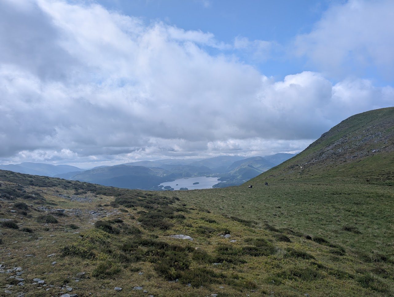
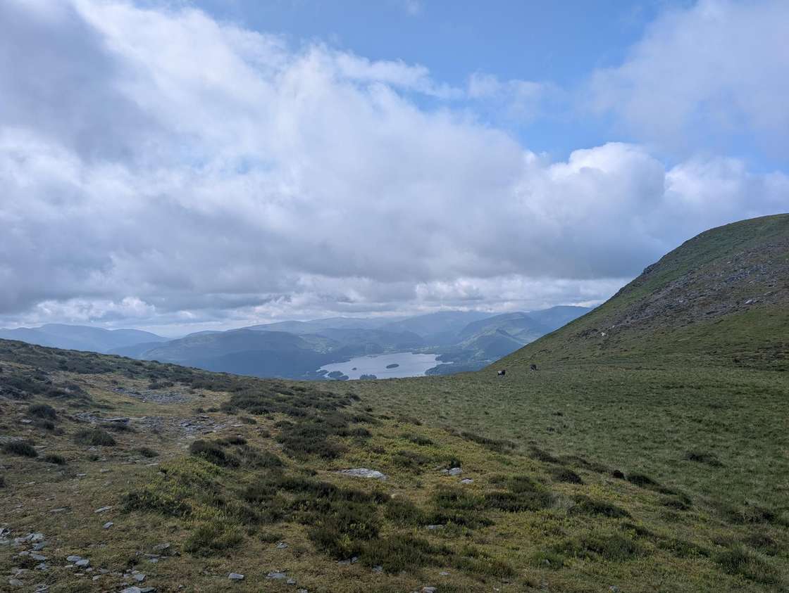

- Sale How666 mOur routes over the top: Birketts North of Skiddaw; Latrigg, Little Man, Sale & Cumbria Way Section.
- Little Calva642 mOur routes over the top: Birketts North of Skiddaw; Cockup at the White Hause and other Birketts.
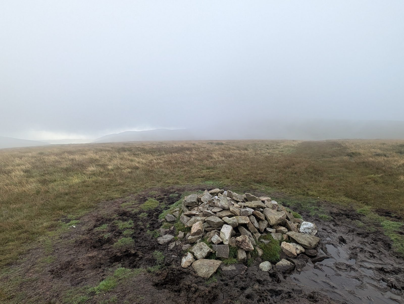
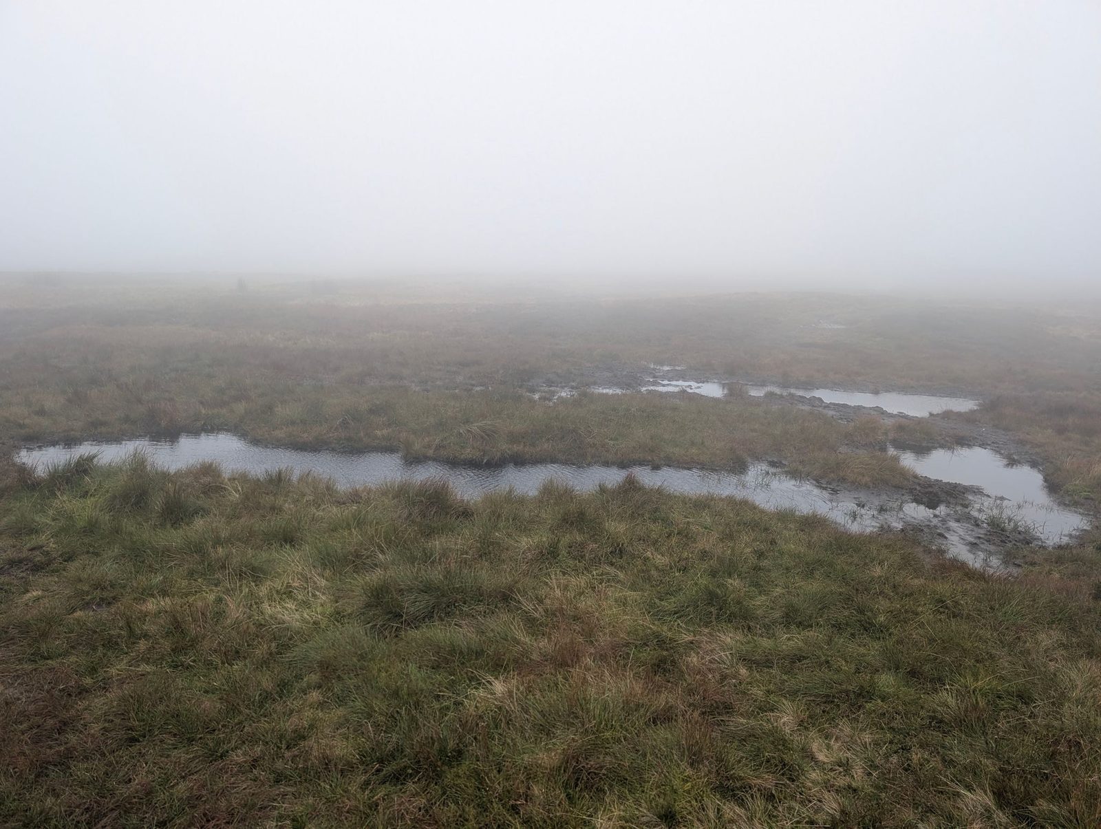
- Coomb Height627 mOur routes over the top: Birketts by Carrock Fell; Coomb Height, Knott and Great Calva.
- Frozen Fell625 mOur route over the top: Birketts North of Skiddaw.
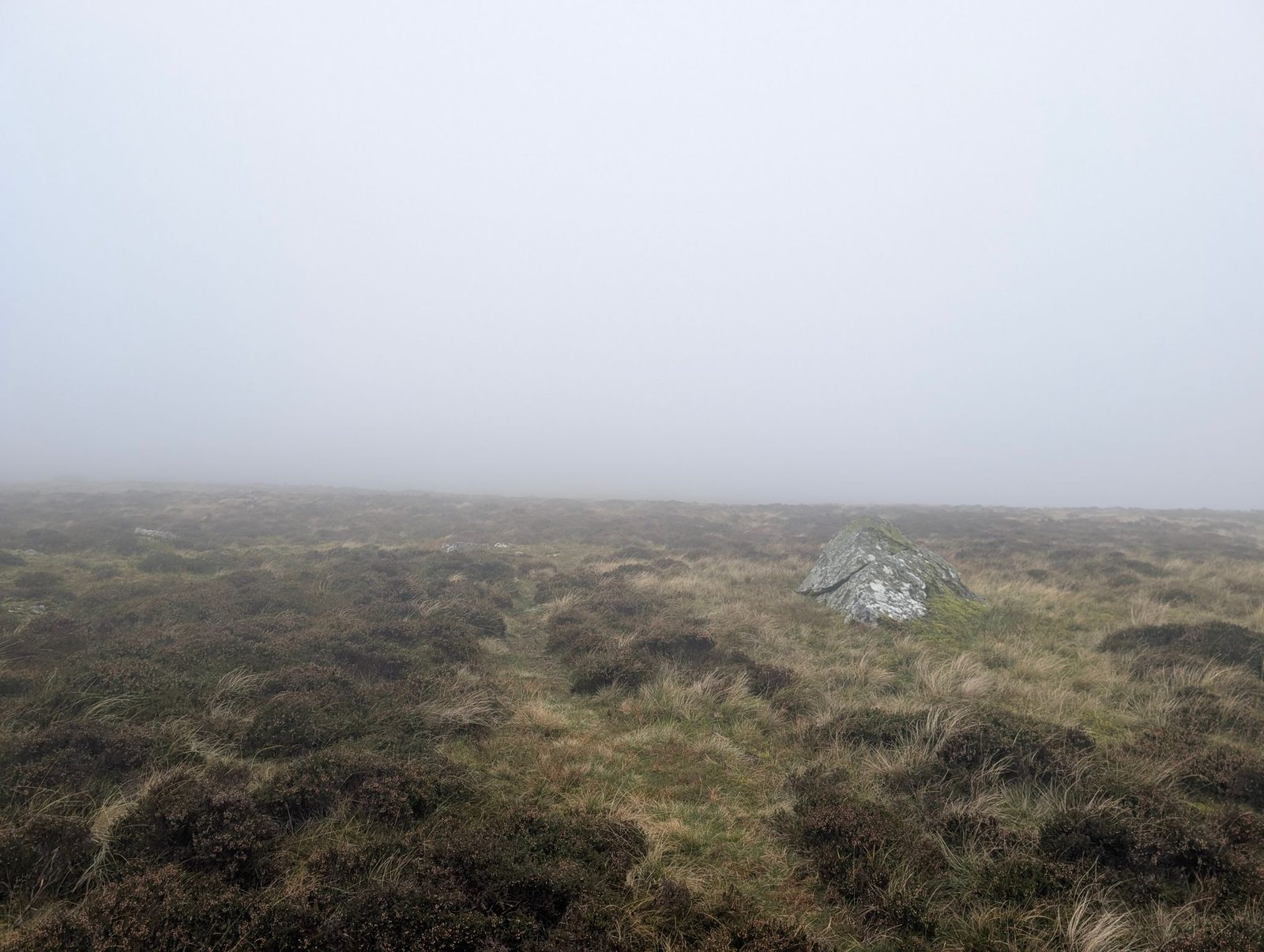
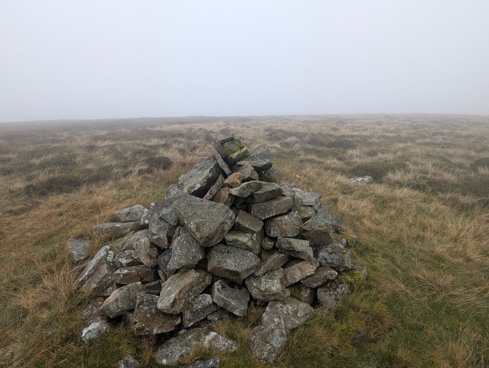
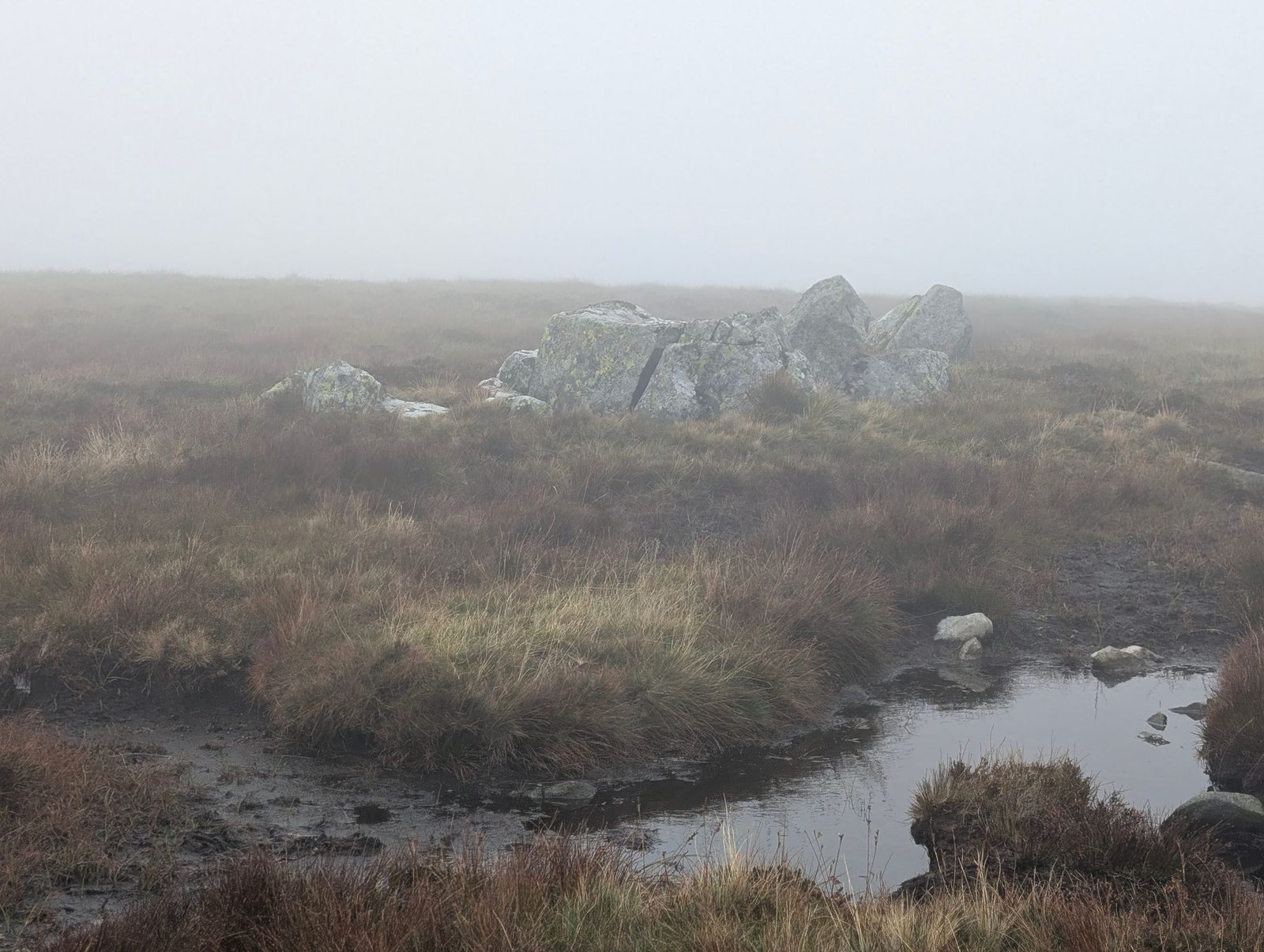
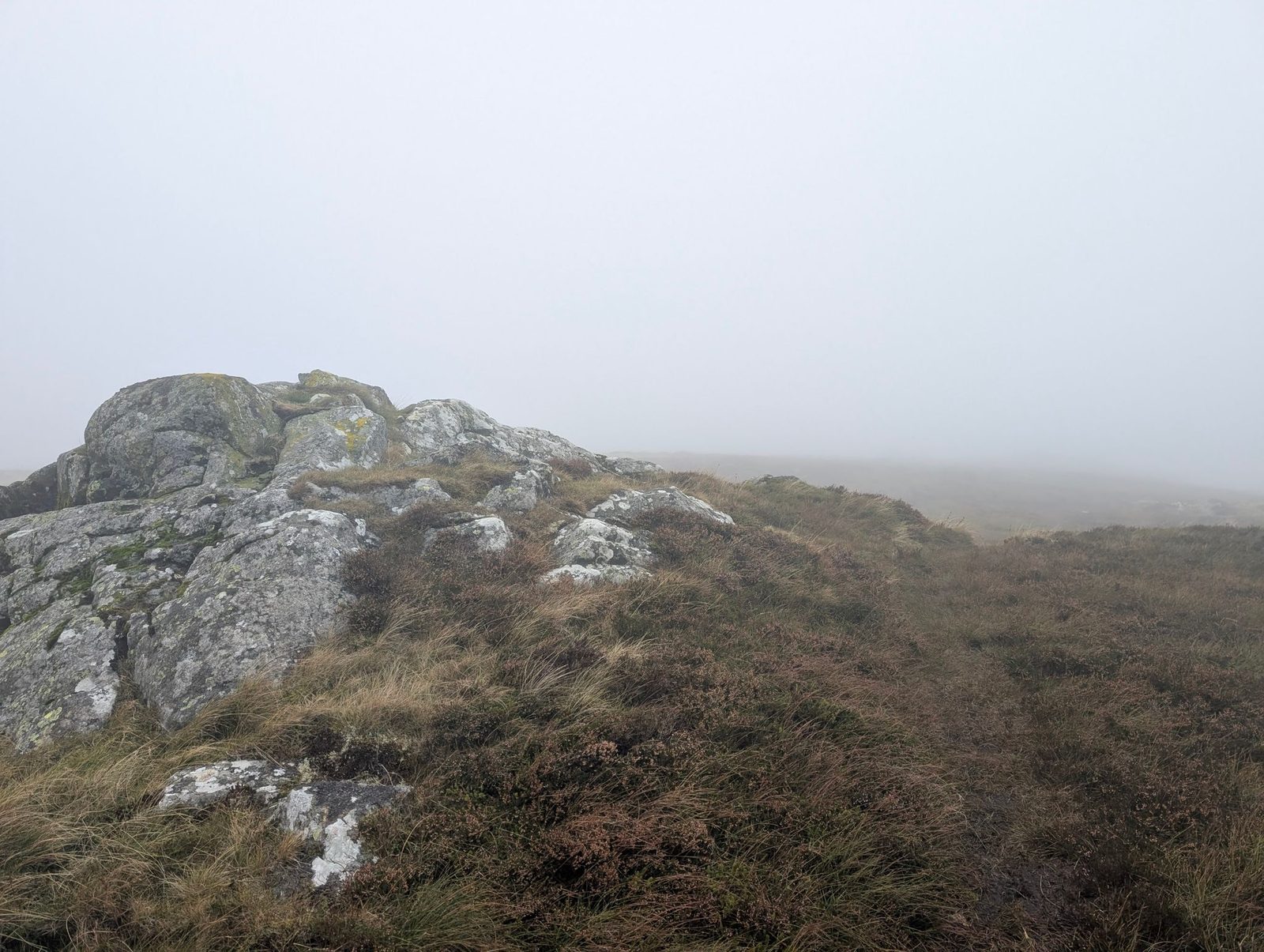
- Burn Tod595 mOur route over the top: Cockup at the White Hause and other Birketts.
- Hare Crag538 mOur route over the top: Birketts North of Skiddaw.
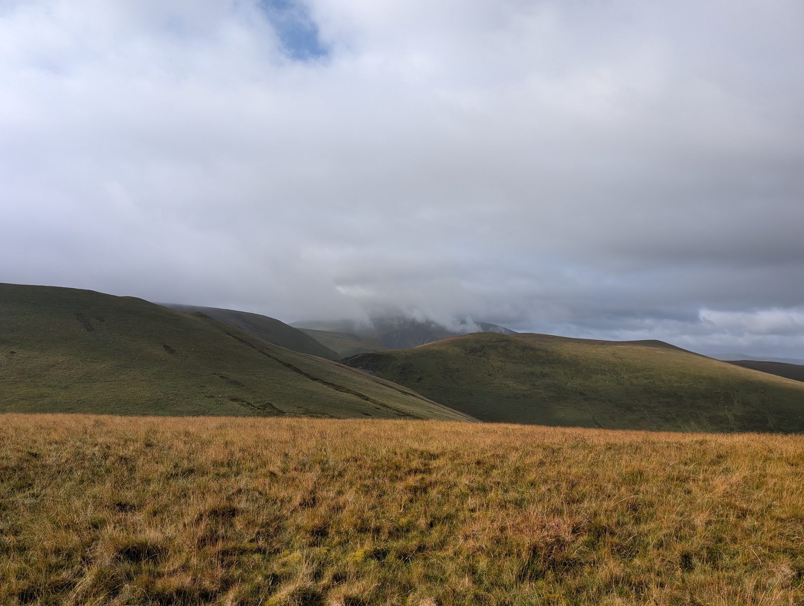
- Cockup505 mOur route over the top: Cockup at the White Hause and other Birketts.
- Little Cockup399 mOur route over the top: Cockup at the White Hause and other Birketts.
- Watches333 mOur route over the top: Cockup at the White Hause and other Birketts.


Near a route, not on one 2


Nothing matches those filters — .
Map
● fells within ~5 km
An interactive map of the walks and fells in this collection. Each marker links to its page; the same walks and fells are listed on this page.